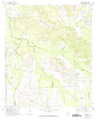
1971 Map of Chesson
USGS Topo · Published 1984About this map
Cubahatchee Creek and Old Town Creek wind through this rural corner of Alabama, marking a landscape where the intersections of four counties—Macon, Montgomery, Bullock, and Pike—dictate the local geography. The settlement at Chesson sits along the Seaboard Coast Line railroad, while the southern reaches of the map are defined by the Central of Georgia tracks. This survey documents a deeply rooted community infrastructure, evidenced by numerous country churches such as Mt Silah Ch, Mt Zion Ch, and Aliens Chapel. A notable historical detail is the Old Indian Treaty Boundary cutting diagonally across the southeastern corner, a remnant of early frontier surveying. The terrain is characterized by intricate drainages like Mathews Creek and Thobolocco Creek, punctuated by landmarks like Halls Pond and Weiss Lake.
Find a feature on this map
31 named features on this map. Tap any name to fly to it.
Don’t see what you’re looking for? This feature index may not catch every label — zoom into the map to look around manually.
Map Details
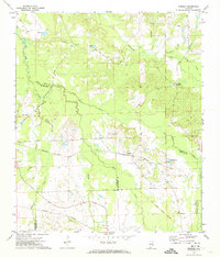
Editions of this 1971 Chesson Map
2 editions found
Other maps of this area

1953 · Montgomery
USGS Topo · 1:250,000

1955 · Phenix City
USGS Topo · 1:250,000

1956 · Montgomery
USGS Topo · 1:250,000

1957 · Phenix City
USGS Topo · 1:250,000

1957 · Montgomery
USGS Topo · 1:250,000

1958 · Phenix City
USGS Topo · 1:250,000

1958 · Mount Meigs
USGS Topo · 1:62,500

1971 · Shorter
USGS Topo · 1:24,000

1971 · La Place
USGS Topo · 1:24,000

1971 · Hardaway
USGS Topo · 1:24,000