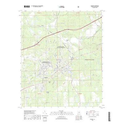
2018 Map of Tuskegee
USGS Topo · Published 2018About this map
Tuskegee Institute National Historic Site and the adjacent Tuskegee Univ campus anchor this detailed landscape in Macon County. The geography is deeply intertwined with American aviation and educational history, featuring the Tuskegee Airmen National Historic Site at Moton Field Municipal Airport. To the east, the terrain transitions into the protected woodlands of the Tuskegee National Forest, drained by Choctahatchee Creek and Chewacla Creek.
Find a feature on this map
140 named features on this map. Tap any name to fly to it.
Don’t see what you’re looking for? This feature index may not catch every label — zoom into the map to look around manually.
Map Details
Editions of this 2018 Tuskegee Map
This is the sole edition of this map. No revisions or reprints were ever made.
Other maps of this area

1906 · Dadeville
USGS Topo · 1:125,000
1955 · Phenix City
USGS Topo · 1:250,000
1957 · Phenix City
USGS Topo · 1:250,000
1958 · Phenix City
USGS Topo · 1:250,000
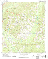
1971 · Little Texas
USGS Topo · 1:24,000
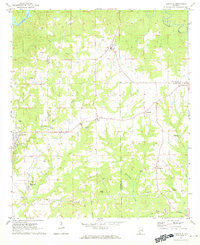
1971 · Carrville
USGS Topo · 1:24,000
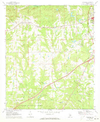
1971 · Loachapoka
USGS Topo · 1:24,000
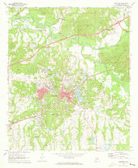
1971 · Tuskegee
USGS Topo · 1:24,000
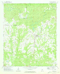
1971 · Notasulga
USGS Topo · 1:24,000
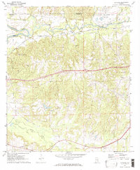
1971 · La Place
USGS Topo · 1:24,000