Old Maps of Tuskegee, Alabama for Hiking & Exploration
Hike through history with 31 historic maps of Tuskegee. Explore old trails, ghost towns, and forgotten backroads — perfect for outdoor adventurers and local explorers.
- Rediscover forgotten places: Map out old mining camps, roads, and footpaths that no longer exist on modern maps.
- Layer with modern tools: Combine with LiDAR or satellite views to plan hikes through historical terrain.
- Made for exploration: Popular among hikers, overlanders, and local history lovers.
Use these maps to find adventure and explore the hidden past of Tuskegee.
Tuskegee, AL maps
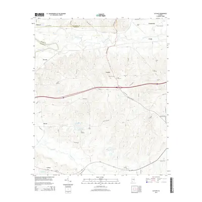
(31)- 1906 Map of Dadeville
 1906 Dadeville1906 Print · USGSThe Tallapoosa River valley is shown at the turn of the century, defined by its numerous river ferries and a burgeoning rail network. Genealogists can trace family roots through rural landmarks like Rocky Ridge Church, Mc Ritchie Mill, and the many river crossings including McCarty Ferry.3 unique versions available
 - 1955 Map of Phenix City, 1964 Print
 1955 Phenix City1964 Print · USGSPost-war Alabama and Georgia meet along the Chattahoochee River as industry and military installations expand. Trace the rail lines of the Central of Georgia through towns like Opelika, Tuskegee, and Alexander City.3 unique versions available
 - 1957 Map of Phenix City
 1957 Phenix City1957 Print · USGSThe Alabama-Georgia borderlands are captured here in the mid-fifties, centered on the bustling river crossing at Phenix City and Columbus. Researchers can trace the mid-century footprint of the Fort Benning Military Reservation or locate smaller textile and railroad towns like Langdale and Camp Hill.
 - 1958 Map of Phenix City
 1958 Phenix City1958 Print · USGSThe Alabama-Georgia borderlands thrive during the late fifties, anchored by the river-driven industry of Columbus and Phenix City. Researchers can trace the mid-century footprints of Fort Benning, Auburn, and the textile towns of Fairfax and Lanett.
 - 1971 Map of Carrville, 1973 Print
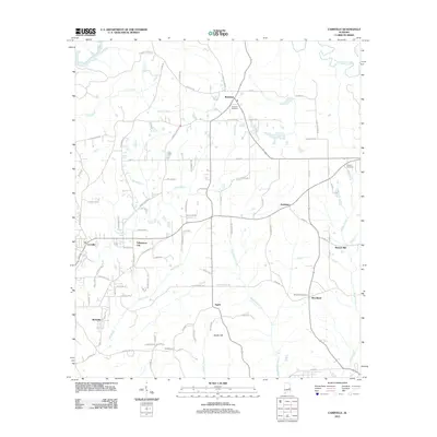
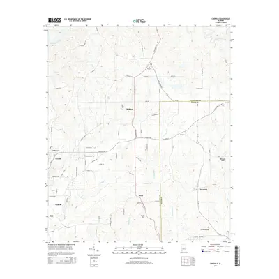
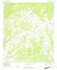 1971 Carrville1973 Print · USGSNear the border of Tallapoosa and Macon counties in the early seventies, this landscape is defined by small crossroads settlements and creek-side industry. Trace the locations of Reeltown High Sch, the Broach Mill, and local gathering spots like the Drive-in Theater.2 unique versions available
 - 1971 Map of Tuskegee, 1973 Print
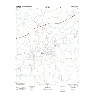
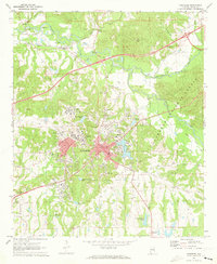 1971 Tuskegee1973 Print · USGSTuskegee and its famed institute are documented here in the early 1970s, showcasing a period of significant institutional and civic growth. Researchers can locate specific sites from the Tuskegee Institute campus to the Veterans Hospital and Moton Field.3 unique versions available
 - 1971 Map of Notasulga, 1973 Print
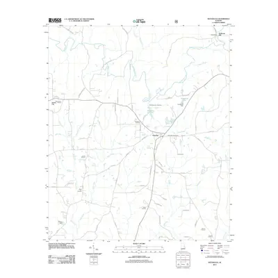
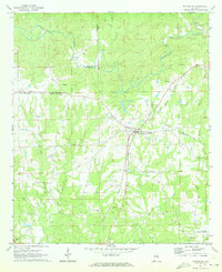 1971 Notasulga1973 Print · USGSNotasulga and its rural Alabama surroundings are captured here in the early 1970s, as the town thrived along the Western Railway of Alabama. Genealogists and local historians can locate many country landmarks, including McRitchie Mill, Bethlehem Cemetery, and Lockets Chapel.2 unique versions available
 - 1971 Map of La Place, 1973 Print
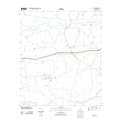
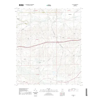
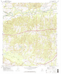 1971 La Place1973 Print · USGSMacon County in the early seventies shows a landscape where military history and rural tradition meet along the Tallapoosa River. Researchers can locate the Tuskegee Air Force Base and numerous family churches like Bradford Chapel and Elam Ch.2 unique versions available
 - 1981 Map of Opelika, 1982 Print
 1981 Opelika1982 Print · USGSEast Alabama and West Georgia appear in the early 1980s as a region defined by massive river reservoirs and the storied textile corridor. Genealogists can trace family roots through the valley towns of Lanett and Fairfax or locate sites near Horseshoe Bend National Military Park.
 - 1981 Map of Tuskegee, 1982 Print
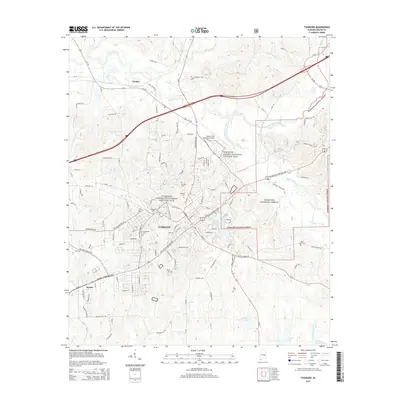
 1981 Tuskegee1982 Print · USGSMacon and Bullock counties are captured here in the early eighties, showcasing a landscape deeply tied to the railroad and the legacies of Tuskegee Institute. Researchers can locate specific sites from Moton Field to rural settlements along the Seaboard Coast Line like Hurtsboro and Pittsview.2 unique versions available
 - 1998 Map of Tuskegee, 2001 Print
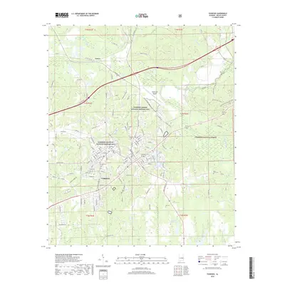
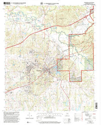 1998 Tuskegee2001 Print · USGSTuskegee and the nearby national forest lands are shown here in the late nineties, documenting a landscape of deep educational and civic history. Researchers can trace the grounds of the Tuskegee Institute, locate Moton Field, and find family sites like Greenwood Cem.
 - 2011 Map of La Place, 2011 Print
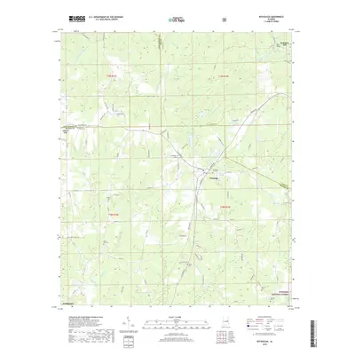
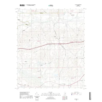
 2011 La Place2011 Print · USGSCovers Tuskegee, including Tallassee, Franklin, and other nearby areas
 - 2011 Map of Notasulga, 2011 Print
 2011 Notasulga2011 Print · USGSCovers Tuskegee, including Notasulga, McRitchie Mill, and other nearby areas
 - 2011 Map of Tuskegee, 2011 Print
 2011 Tuskegee2011 Print · USGSCovers Tuskegee, including Franklin, Seasha, and other nearby areas
 - 2011 Map of Carrville, 2011 Print
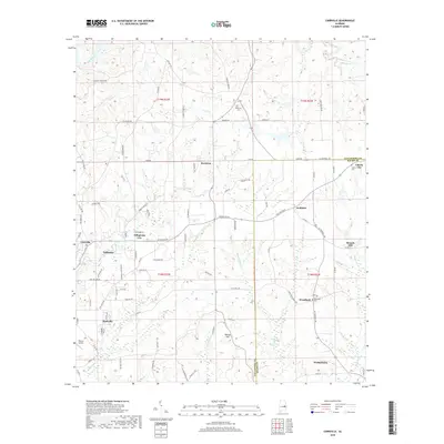
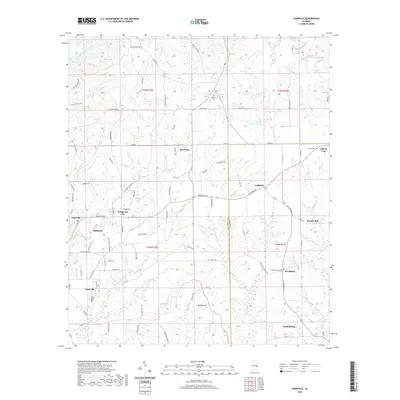
 2011 Carrville2011 Print · USGSCovers Tuskegee, including Tallassee, Reeltown, and other nearby areas
 - 2014 Map of La Place, 2014 Print
 2014 La Place2014 Print · USGSCovers Tuskegee, including Tallassee, Franklin, and other nearby areas
 - 2014 Map of Carrville, 2014 Print
 2014 Carrville2014 Print · USGSCovers Tuskegee, including Tallassee, Reeltown, and other nearby areas
 - 2014 Map of Notasulga, 2014 Print
 2014 Notasulga2014 Print · USGSCovers Tuskegee, including Notasulga, McRitchie Mill, and other nearby areas
 - 2014 Map of Tuskegee, 2014 Print
 2014 Tuskegee2014 Print · USGSCovers Tuskegee, including Franklin, Seasha, and other nearby areas
 - 2018 Map of Tuskegee, 2018 Print
 2018 Tuskegee2018 Print · USGSCovers Tuskegee, including Franklin, Seasha, and other nearby areas
 - 2018 Map of Notasulga, 2018 Print
 2018 Notasulga2018 Print · USGSCovers Tuskegee, including Notasulga, McRitchie Mill, and other nearby areas
 - 2018 Map of Carrville, 2018 Print
 2018 Carrville2018 Print · USGSCovers Tuskegee, including Tallassee, Reeltown, and other nearby areas
 - 2018 Map of La Place, 2018 Print
 2018 La Place2018 Print · USGSCovers Tuskegee, including Tallassee, Franklin, and other nearby areas
 - 2020 Map of La Place, 2020 Print
 2020 La Place2020 Print · USGSCovers Tuskegee, including Tallassee, Franklin, and other nearby areas
 - 2020 Map of Carrville, 2020 Print
 2020 Carrville2020 Print · USGSCovers Tuskegee, including Tallassee, Reeltown, and other nearby areas
Showing maps 1-25 of 31
Top cities near Tuskegee
- Auburn historical maps
- Tallassee historical maps
- Notasulga historical maps
- Reeltown historical maps
- Franklin historical maps
- Shorter historical maps
See more
Top neighborhoods of Tuskegee
Frequently asked questions
- What are the different types of historical maps available for Tuskegee?
- What is the oldest map of Tuskegee?
- Where can I purchase historical maps of Tuskegee for my home or office?
- Where can I download high-res historical maps of Tuskegee?
- Are there historical topographic maps available for Tuskegee?
- Is there historical aerial imagery available for Tuskegee?
- Where are historical maps of Tuskegee sourced from?