2020s Maps of Madison County, Alabama
Explore 49 historic maps of Madison County from the 2020s. These maps offer a rare glimpse into what life looked like during the 2020s — showing old roads, neighborhoods, homes, and landmarks that have changed or disappeared over time.
Whether you're researching your family's past, planning a metal detecting trip, or studying how Madison County's landscape evolved across the 2020s, these high-resolution maps are a powerful tool for exploring the history of this region.
- Focus on a specific era: All maps on this page are from the 2020s, giving you a focused view of this time period.
- See what’s changed: Compare century-old streets, trails, and buildings to today's modern landscape using overlays and satellite layers.
- Research with precision: Use these maps for genealogy, historical research, land use analysis, or educational projects.
- View, download, or print: Maps are fully viewable online in high resolution, and can be downloaded or printed for your own records.
Start exploring Madison County's history through authentic maps from the 2020s. This is your window into the past.
Madison County, AL maps
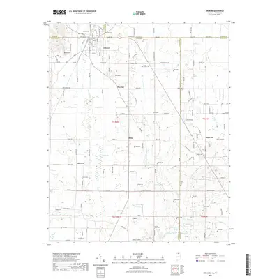
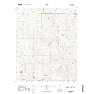
(49)- 2020 Map of Fisk, 2020 Print
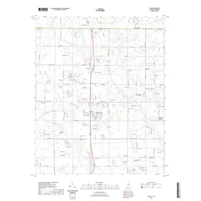 2020 Fisk2020 Print · USGSCovers Madison County, including Hazel Green, Skinem, and other nearby areas
 - 2020 Map of New Hope, 2020 Print
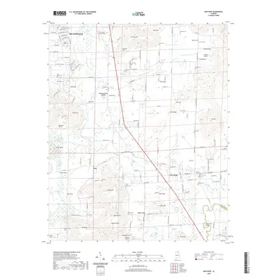 2020 New Hope2020 Print · USGSCovers Madison County, including Huntsville, New Hope, and other nearby areas
 - 2020 Map of Moontown, 2020 Print
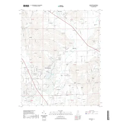 2020 Moontown2020 Print · USGSCovers Madison County, including Huntsville, Gurley, and other nearby areas
 - 2020 Map of Guntersville Dam, 2020 Print
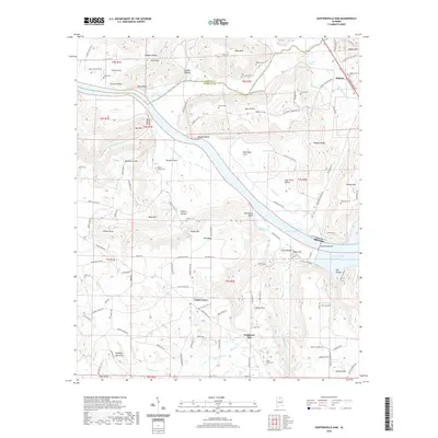 2020 Guntersville Dam2020 Print · USGSCovers Madison County, including Union Grove, Hebron, and other nearby areas
 - 2020 Map of Toney, 2020 Print
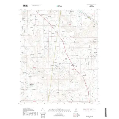
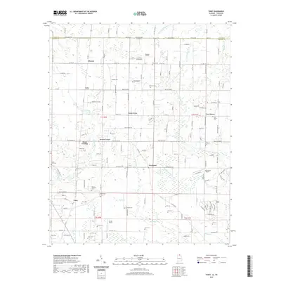 2020 Toney2020 Print · USGSCovers Madison County, including Bobo, Ready Crossing, and other nearby areas
 - 2020 Map of Jeff, 2020 Print
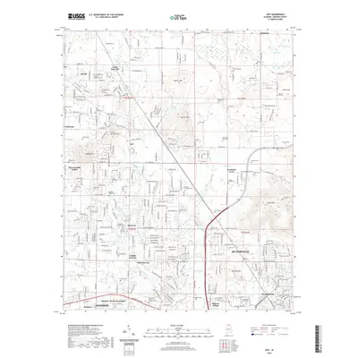 2020 Jeff2020 Print · USGSCovers Madison County, including Huntsville, Madison, and other nearby areas
 - 2020 Map of Capshaw, 2020 Print
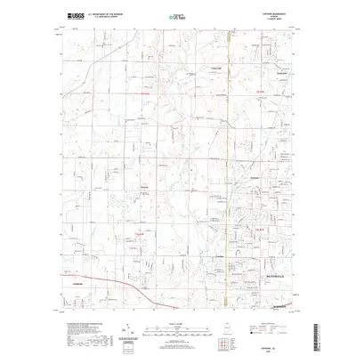 2020 Capshaw2020 Print · USGSCovers Madison County, including Huntsville, Madison, and other nearby areas
 - 2020 Map of Maysville, 2020 Print
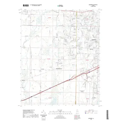
 2020 Maysville2020 Print · USGSCovers Madison County, including Huntsville, Greenfield, and other nearby areas
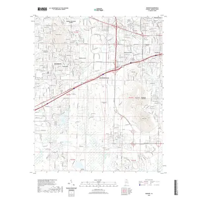
 - 2020 Map of Madison, 2020 Print
 2020 Madison2020 Print · USGSCovers Madison County, including Huntsville, Madison, and other nearby areas
 - 2020 Map of Meridianville, 2020 Print
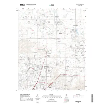 2020 Meridianville2020 Print · USGSCovers Madison County, including Huntsville, Meridianville, and other nearby areas
 - 2020 Map of New Market, 2020 Print
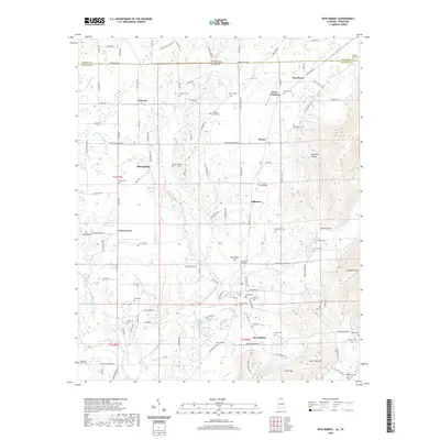 2020 New Market2020 Print · USGSCovers Madison County, including New Market, Fannings Crossing, and other nearby areas
 - 2020 Map of Ardmore, 2020 Print
 2020 Ardmore2020 Print · USGSCovers Madison County, including Ardmore, Heritage Landing, and other nearby areas
 - 2020 Map of Newsome Sinks, 2020 Print
 2020 Newsome Sinks2020 Print · USGSCovers Madison County, including Oleander, Allens Crossroads, and other nearby areas
 - 2020 Map of Huntsville, 2020 Print
 2020 Huntsville2020 Print · USGSCovers Madison County, including Huntsville, Bucks Canyon, and other nearby areas
 - 2020 Map of Farley, 2020 Print
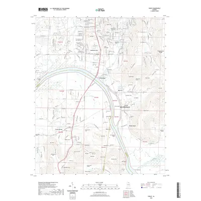 2020 Farley2020 Print · USGSCovers Madison County, including Huntsville, Owens Cross Roads, and other nearby areas
 - 2020 Map of Greenbrier, 2020 Print
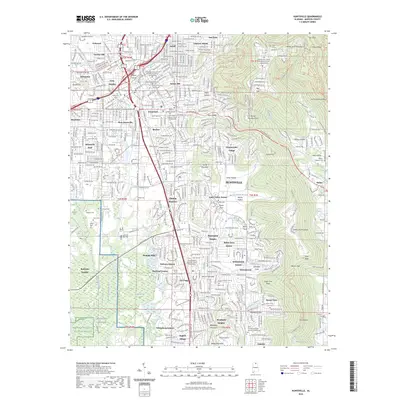
 2020 Greenbrier2020 Print · USGSCovers Madison County, including Huntsville, Madison, and other nearby areas
 - 2020 Map of King Cove, 2020 Print
 2020 King Cove2020 Print · USGSCovers Madison County, including Jackson County, Franklin County, and other nearby areas
 - 2020 Map of Mason Ridge, 2020 Print
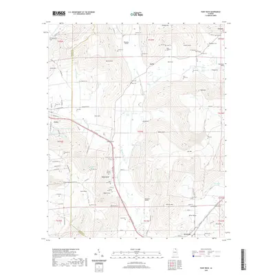
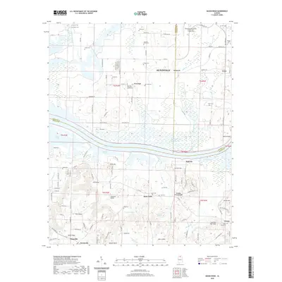 2020 Mason Ridge2020 Print · USGSCovers Madison County, including Huntsville, Priceville, and other nearby areas
 - 2020 Map of Hollytree, 2020 Print
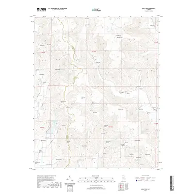 2020 Hollytree2020 Print · USGSCovers Madison County, including Hollytree, Jackson County, and other nearby areas
 - 2020 Map of Grant, 2020 Print
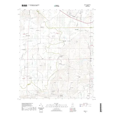 2020 Grant2020 Print · USGSCovers Madison County, including Grant, Woodville, and other nearby areas
 - 2020 Map of Triana, 2020 Print
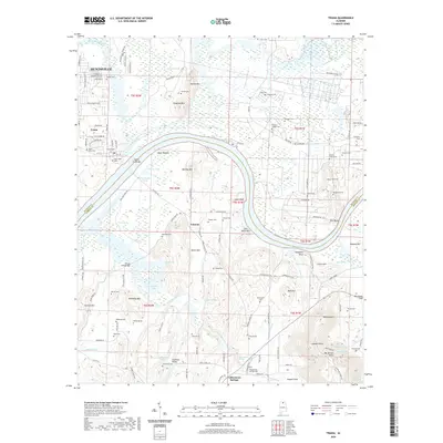 2020 Triana2020 Print · USGSCovers Madison County, including Huntsville, Triana, and other nearby areas
 - 2020 Map of Paint Rock, 2020 Print
 2020 Paint Rock2020 Print · USGSCovers Madison County, including Gurley, Woodville, and other nearby areas
 - 2023 Map of Huntsville, 2023 Print
 2023 Huntsville2023 Print · USGSCovers Madison County, including Huntsville, Bucks Canyon, and other nearby areas
 - 2024 Map of Huntsville, 2024 Print
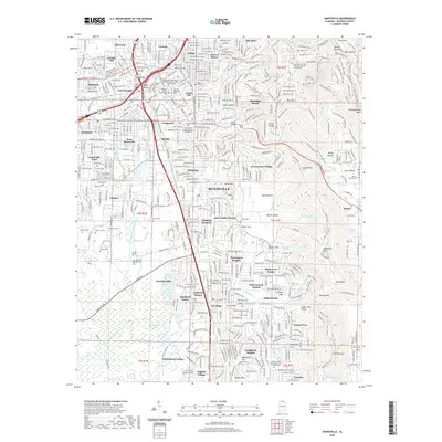
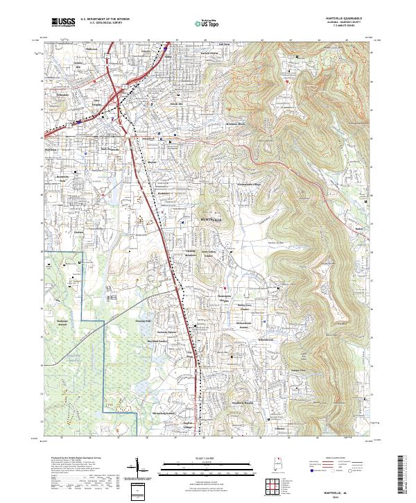 2024 Huntsville2024 Print · USGSHuntsville at the start of the 2020s shows the continued expansion of the Space City from its historical center toward the slopes of Monte Sano Mtn. Researchers can trace neighborhood development from Lily Flagg to Lincoln and locate historical landmarks like Glenwood Cem.
 - 2024 Map of King Cove, 2024 Print
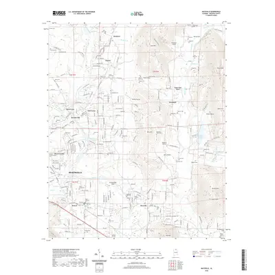
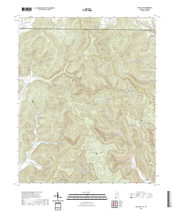 2024 King Cove2024 Print · USGSThe Alabama-Tennessee borderlands appear here in the 2020s, showing a landscape of high ridges and secluded coves. Genealogists can trace family landmarks like Beech Grove Cem and Hambrick Sinks Cem near the settlement of Francisco.
Showing maps 1-25 of 49
Top cities of Madison County
- Huntsville historical maps
- Meridianville historical maps
- Moores Mill historical maps
- Harvest historical maps
- Hazel Green historical maps
- Triana historical maps
See more
Frequently asked questions
- What are the different types of historical maps available for Madison County?
- What is the oldest map of Madison County?
- Where can I purchase historical maps of Madison County for my home or office?
- Where can I download high-res historical maps of Madison County?
- Are there historical topographic maps available for Madison County?
- Is there historical aerial imagery available for Madison County?
- Where are historical maps of Madison County sourced from?