2010s Maps of Madison County, Alabama
Explore 71 historic maps of Madison County from the 2010s. These maps offer a rare glimpse into what life looked like during the 2010s — showing old roads, neighborhoods, homes, and landmarks that have changed or disappeared over time.
Whether you're researching your family's past, planning a metal detecting trip, or studying how Madison County's landscape evolved across the 2010s, these high-resolution maps are a powerful tool for exploring the history of this region.
- Focus on a specific era: All maps on this page are from the 2010s, giving you a focused view of this time period.
- See what’s changed: Compare century-old streets, trails, and buildings to today's modern landscape using overlays and satellite layers.
- Research with precision: Use these maps for genealogy, historical research, land use analysis, or educational projects.
- View, download, or print: Maps are fully viewable online in high resolution, and can be downloaded or printed for your own records.
Start exploring Madison County's history through authentic maps from the 2010s. This is your window into the past.
Madison County, AL maps
(71)- 2010 Map of King Cove, 2010 Print
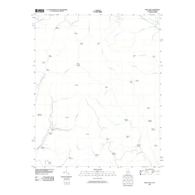 2010 King Cove2010 Print · USGSCrossing the Alabama and Tennessee line, this 2010 survey shows a landscape of deep coves and family-named hollows. Genealogists can locate several remote burial grounds, including Bethel Cemetery, Crowell Cemetery, and King Cove Cemetery.
 - 2010 Map of Toney, 2010 Print
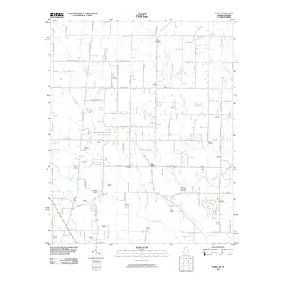 2010 Toney2010 Print · USGSMadison County on the Alabama-Tennessee border is shown here in the early twenty-first century, just as suburban growth began to meet its rural roots. Genealogists can locate dozens of family burial sites like Golightly Cemetery and landmarks such as the Toney Post Office or Scott's Orchard.
 - 2010 Map of Fisk, 2010 Print
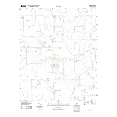 2010 Fisk2010 Print · USGSThe Alabama-Tennessee borderlands north of Huntsville come into focus during this early 21st-century survey. Genealogists can trace hundreds of family ties through a remarkable density of burial sites such as Saint Rebecca Cemetery and McGehee Cemetery.
 - 2010 Map of New Market, 2010 Print
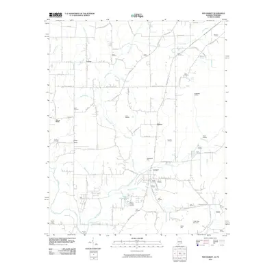 2010 New Market2010 Print · USGSMadison County, Alabama, near the Tennessee border, maintains its rural character in the early twenty-first century. Genealogists and historians can trace family locations through numerous sites like Britton Cemetery, the community of Walnut Grove, and the historic Bloucher Ford.
 - 2010 Map of Ardmore, 2010 Print
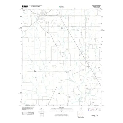 2010 Ardmore2010 Print · USGSArdmore sat at the crossroads of the Alabama-Tennessee border during this era of rural transition. Genealogists can locate dozens of family burial sites like the German Cemetery and Moore Chapel Cemetery, or trace roots near Wooley Spring.
 - 2011 Map of Triana, 2011 Print
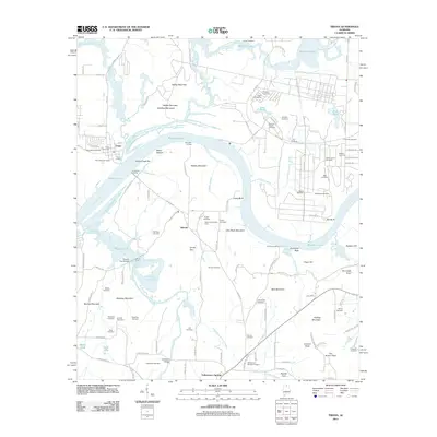 2011 Triana2011 Print · USGSThe Tennessee River valley south of Huntsville appears here in the early twenty-first century, showing the enduring rural layout of Madison and Morgan Counties. Genealogists can locate family landmarks like the Abercrombie Dairy Farm, Triana Cemetery, and Grantland Cemetery.
 - 2011 Map of Grant, 2011 Print
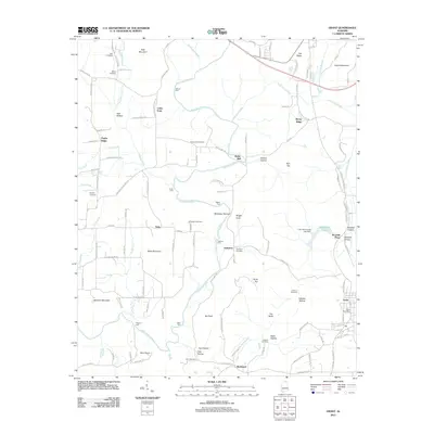 2011 Grant2011 Print · USGSMarshall County at the start of the twenty-first century reveals a landscape where deep-rooted family names still mark the mountains and hollows. Genealogists and hikers can trace historic river crossings like Fishtrap Ford and locate ancestral sites such as Ashburn Cemetery and the Grant Post Office.
 - 2011 Map of Maysville, 2011 Print
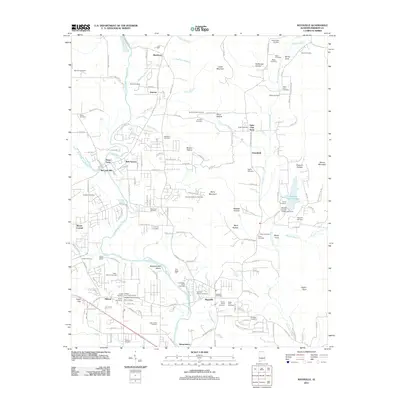 2011 Maysville2011 Print · USGSMadison County settlement and family lineage are preserved in this study of the Flint River corridor during the early twenty-first century. Genealogists can trace decades of history through rural landmarks like the Maysville Post Office, Bell Factory, and the Acklin-Derrick Cemetery.
 - 2011 Map of Huntsville, 2011 Print
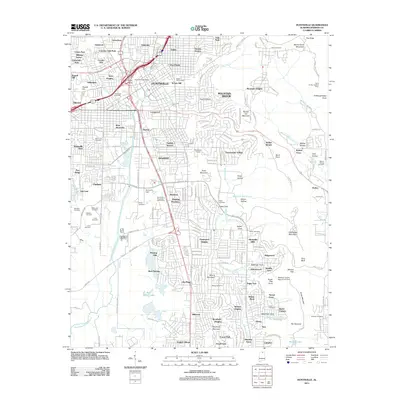 2011 Huntsville2011 Print · USGSHuntsville at the start of the 2010s shows a dense urban core transitioning into the ridges of Monte Sano Mountain. Researchers can trace old family burial sites like Donegan Cemetery and Sivley Cemetery or locate landmarks such as Piedmont Airport and Byrd Spring Lake.
 - 2011 Map of Capshaw, 2011 Print
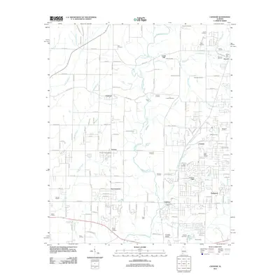 2011 Capshaw2011 Print · USGSMadison County at the start of the millennium shows a landscape where rural community roots remain deeply visible alongside modern growth. Genealogists can trace family names through dozens of sites like Vasser-Pettus Cemetery, Epps Airpark, and the Capshaw Post Office.
 - 2011 Map of Guntersville Dam, 2011 Print
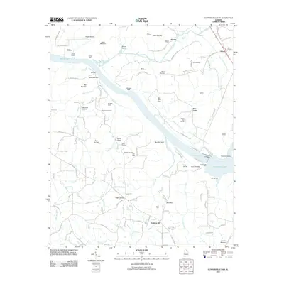 2011 Guntersville Dam2011 Print · USGSThe Tennessee River valley in Marshall County comes into focus in the early 2010s, centered on the massive Guntersville Dam and its adjacent lakes. Researchers can trace rural lineages through numerous local sites including Union Grove, Neighbors Mill, and the Beech Spring Cemetery.
 - 2011 Map of New Hope, 2011 Print
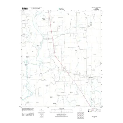 2011 New Hope2011 Print · USGSMadison County at the start of the 2010s shows a landscape of river-bottom settlements and upland family cemeteries. Genealogists can trace local heritage at Drake Cemetery and Buggs Chapel or locate the old Swift Ford crossing.
 - 2011 Map of Mason Ridge, 2011 Print
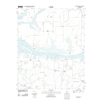 2011 Mason Ridge2011 Print · USGSMadison County at the start of the twenty-first century reveals a landscape where the Tennessee River and Wheeler Lake meet rural homesteads. Genealogists can locate numerous family sites like Thatch Cemetery and Ashford Cemetery near communities such as Swancott.
 - 2011 Map of Paint Rock, 2011 Print
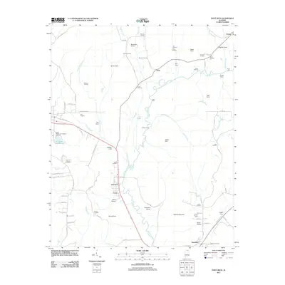 2011 Paint Rock2011 Print · USGSThe Paint Rock River valley in the early twenty-first century remains a landscape of traditional family settlements and river crossings. Researchers can trace ancestral roots at sites like Latham Cemetery or locate historic transit points such as Walker Mill Ford and Flippo Ford.
 - 2011 Map of Farley, 2011 Print
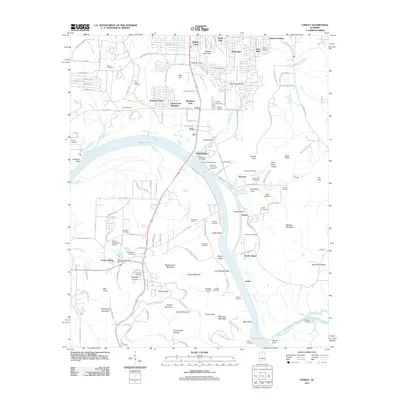 2011 Farley2011 Print · USGSThe southern outskirts of Huntsville and the Tennessee River valley are captured here just after the turn of the millennium. Researchers can trace family history through dozens of sites like Richards Cemetery or locate landmarks like the Huntsville Speedway and Laceys Spring Post Office.
 - 2011 Map of Greenbrier, 2011 Print
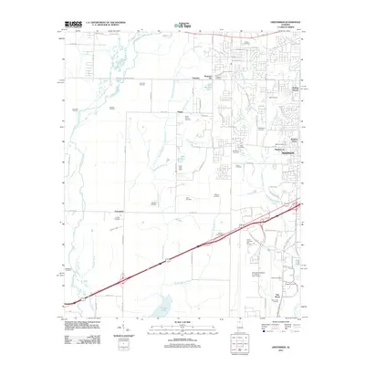 2011 Greenbrier2011 Print · USGSMadison County transitions from river sloughs to modern aviation hubs in this early twenty-first-century survey. Researchers can trace dozens of family burial sites, including the Betts, Peete, and Hundley cemeteries near Greenbrier.
 - 2011 Map of Moontown, 2011 Print
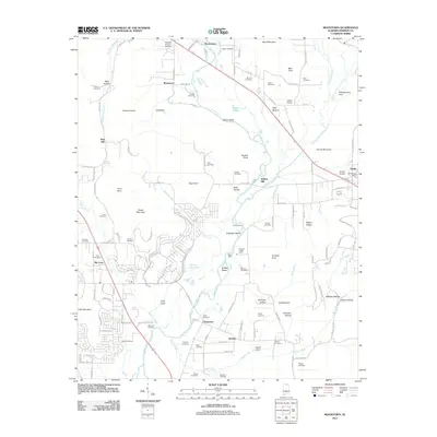 2011 Moontown2011 Print · USGSHuntsville's eastern outskirts meet the Flint River valley in the early twenty-first century, where traditional river crossings and family settlements remain. Genealogists can locate numerous burial sites like Lawler Cemetery or trace the legacy of Sublett Mill.
 - 2011 Map of Madison, 2011 Print
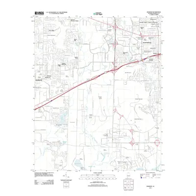 2011 Madison2011 Print · USGSHuntsville and Madison are seen here during a period of intense aerospace development and suburban expansion. Genealogists and researchers can find dozens of historic family plots like Gooch-Dublin Cemetery alongside space-age icons such as the Saturn V Dynamic Test Stand.
 - 2011 Map of Jeff, 2011 Print
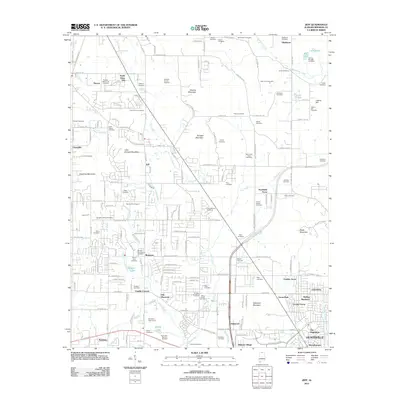 2011 Jeff2011 Print · USGSMadison County north of Huntsville is shown here during a period of residential expansion and rural continuity. Researchers can locate dozens of burial sites like Fords Chapel Cemetery and Scruggs Cemetery alongside Vaughn Lake.
 - 2011 Map of New Market, 2011 Print
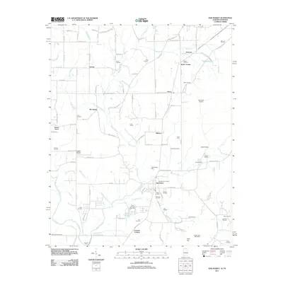 2011 New Market2011 Print · USGSMadison County at the turn of the decade remains a landscape of tightly-knit rural communities and family legacies near the Tennessee border. Genealogists and historians can locate numerous family burial sites and landmarks like Bloucher Ford, Steele Crossing, and Camp Macoba.
 - 2011 Map of Hollytree, 2011 Print
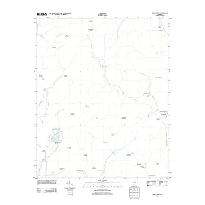 2011 Hollytree2011 Print · USGSJackson County's rugged karst landscape is on full display here in the early twenty-first century. Researchers can trace deep family roots through numerous burial sites like Rousseau Cemetery and Moon Cemetery, or locate landmarks such as the Mountain Lake Resort Dam.
 - 2011 Map of King Cove, 2011 Print
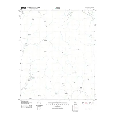 2011 King Cove2011 Print · USGSThe Alabama-Tennessee borderlands are captured here in the early twenty-first century, showing a landscape of high peaks and isolated coves. Researchers can trace family history through sites like Hudson Cemetery, Hambrick Sinks, and King Cove.
 - 2011 Map of Toney, 2011 Print
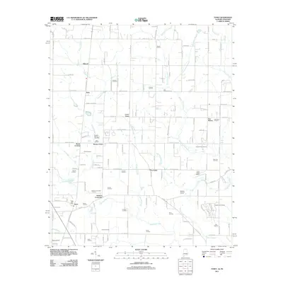 2011 Toney2011 Print · USGSMadison County at the turn of the decade remains a landscape of historic family farmsteads and rural crossroads. Genealogists and local historians can trace legacy sites like Golightly Cemetery, the Toney Post Office, and the path of the Old Railroad Bed Rd.
 - 2011 Map of Ardmore, 2011 Print
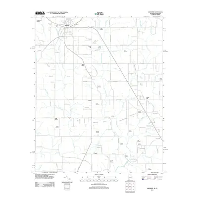 2011 Ardmore2011 Print · USGSThe Alabama-Tennessee borderlands appear here in the early twenty-first century, centered on the growing community of Ardmore. Family historians can trace deep roots through dozens of local burial grounds like Gatlin Cemetery, German Cemetery, and Adams-Crutcher Cemetery.
 - 2011 Map of Newsome Sinks, 2011 Print
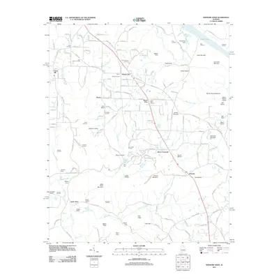 2011 Newsome Sinks2011 Print · USGSNorth Alabama's karst landscape is captured in detail during the early twenty-first century. Genealogists and local historians can trace family roots through numerous sites like Short Cemetery, Mount Tabor Cemetery, and the old crossroads at Oleander.
Showing maps 1-25 of 71
Top cities of Madison County
- Huntsville historical maps
- Meridianville historical maps
- Moores Mill historical maps
- Harvest historical maps
- Hazel Green historical maps
- Triana historical maps
See more
Frequently asked questions
- What are the different types of historical maps available for Madison County?
- What is the oldest map of Madison County?
- Where can I purchase historical maps of Madison County for my home or office?
- Where can I download high-res historical maps of Madison County?
- Are there historical topographic maps available for Madison County?
- Is there historical aerial imagery available for Madison County?
- Where are historical maps of Madison County sourced from?