Old Maps of Parkwood Estates, Huntsville for Hiking & Exploration
Hike through history with 15 historic maps of Parkwood Estates. Explore old trails, ghost towns, and forgotten backroads — perfect for outdoor adventurers and local explorers.
- Rediscover forgotten places: Map out old mining camps, roads, and footpaths that no longer exist on modern maps.
- Layer with modern tools: Combine with LiDAR or satellite views to plan hikes through historical terrain.
- Made for exploration: Popular among hikers, overlanders, and local history lovers.
Use these maps to find adventure and explore the hidden past of Parkwood Estates.
Parkwood Estates, Huntsville maps
(15)- 1888 Map of Huntsville
 1888 Huntsville1888 Print · USGSMadison and Limestone counties in the late 1880s showcase a landscape defined by the Tennessee River and major early rail lines. Researchers can trace the layout of Huntsville or locate long-standing communities like Mooresville and Thompsons Mill.
 - 1892 Map of Huntsville
 1892 Huntsville1892 Print · USGSNorth Alabama was a landscape of river ferries and rising rail hubs in the 1890s, caught here just as the region's industry began to modernize. Researchers can locate vanished landmarks like the Monte Sano Hotel and trace old family-named sites from Thompsons Mill to Lemans Ferry.6 unique versions available
 - 1936 Map of Jeff
 1936 Jeff1936 Print · USGSMadison County rural life is captured in the mid-1930s, showing a landscape defined by ancestral lines and small-town centers. Trace family roots through Indian Creek Cem, St John Cem, and old schools like Little Indian Creek Sch.
 - 1956 Map of Gadsden, 1966 Print
 1956 Gadsden1966 Print · USGSNorth Alabama in the mid-1950s shows a region transformed by river engineering and federal industry. Genealogists and local historians can trace the development of the Tennessee Valley through the growth of Huntsville, the sprawling Redstone Arsenal, and the expansive Guntersville Lake.3 unique versions available
 - 1958 Map of Gadsden
 1958 Gadsden1958 Print · USGSNorth Alabama comes alive in the late 1950s as the Tennessee Valley Authority’s massive river projects and the rise of the space industry reshaped the landscape. Researchers can trace the mid-century footprints of Huntsville, Redstone Arsenal, and the riverside rail networks of the Southern railroad.
 - 1958 Map of Jeff, 1959 Print
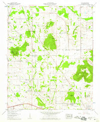 1958 Jeff1959 Print · USGSMadison County at the end of the 1950s shows a transition from rural farming tracts to early institutional growth north of Huntsville. Genealogists can locate family names at Hammond Cem or Fowlkes Cem and trace the paths of Pulaski Pike and Nick Davis Road.2 unique versions available
 - 1960 Map of Gadsden
 1960 Gadsden1960 Print · USGSNorthern Alabama in the mid-1950s is defined by the mighty Tennessee River and its massive reservoirs. Trace the development of Huntsville and Redstone Arsenal or explore the vast William B Bankhead National Forest.2 unique versions available
 - 1963 Map of Gadsden
 1963 Gadsden1963 Print · USGSNorthern Alabama underwent a dramatic mid-century transformation as the Tennessee Valley became a hub for defense and industry. Researchers can trace the development of the Redstone Arsenal, the route of the Natchez Trace Parkway, and long-standing rail lines like the Southern Railway.
 - 1967 Map of Jeff, 1972 Print
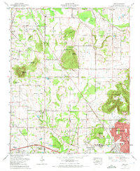 1967 Jeff1972 Print · USGSThe Madison and Huntsville area comes into focus during the late sixties as residential neighborhoods began to edge into the surrounding farmland. Genealogists can trace family landmarks like Pattus Cem, Conley Chapel, and Sparkman High Sch.3 unique versions available
 - 1984 Map of Huntsville, 1986 Print
 1984 Huntsville1986 Print · USGSNorthern Alabama and the Tennessee borderlands are captured in the mid-eighties as Huntsville and the Redstone Arsenal expand. Researchers can trace rural landmarks from Woodlin Mill to the Cumberland Plateau and old rail lines like the Southern.3 unique versions available
 - 2011 Map of Jeff, 2011 Print
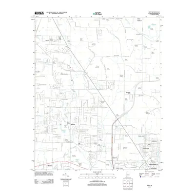 2011 Jeff2011 Print · USGSMadison County north of Huntsville is shown here during a period of residential expansion and rural continuity. Researchers can locate dozens of burial sites like Fords Chapel Cemetery and Scruggs Cemetery alongside Vaughn Lake.
 - 2014 Map of Jeff, 2014 Print
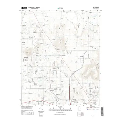 2014 Jeff2014 Print · USGSMadison County at the dawn of the 2010s shows the suburban expansion of Huntsville meeting rural crossroads. Genealogists can trace family lines across dozens of sites including Conley Chapel Cem, Fords Chapel Cem, and the campus of Oakwood Univ.
 - 2018 Map of Jeff, 2018 Print
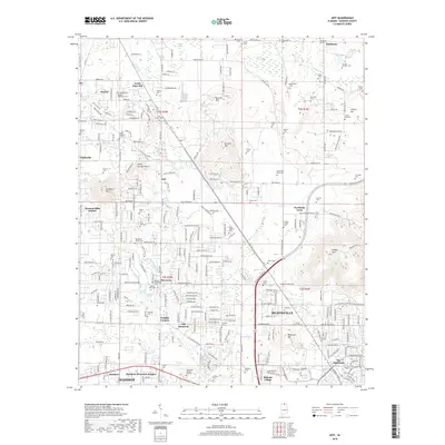 2018 Jeff2018 Print · USGSHuntsville's northwestern expansion meets the established rural communities of Madison County in this contemporary survey. Researchers can trace family history through a high density of local burial sites, including Saint James Cemetery, Morgan-Thompson Cem, and Strong-Douglas Cem.
 - 2020 Map of Jeff, 2020 Print
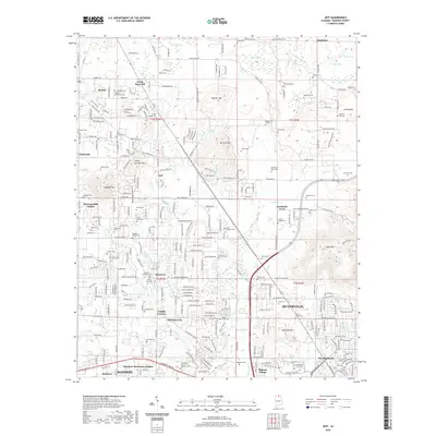 2020 Jeff2020 Print · USGSHuntsville and its northwestern Madison County suburbs are shown here during a phase of rapid modern development. Genealogists and local historians can locate dozens of historic family plots and churchyards, from Fords Chapel Cem to Hereford Cem and Saint James Cem.
 - 2024 Map of Jeff, 2024 Print
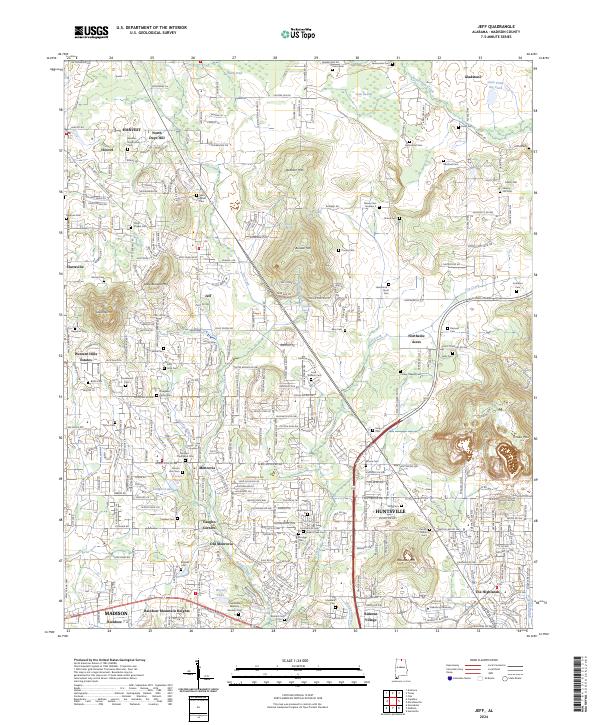 2024 Jeff2024 Print · USGSMadison County at the edge of Huntsville's expansion shows a landscape where historic rural identifiers meet modern growth. Genealogists can locate family burial sites like Bouldin-Hammond Cem and trace the legacy of Oakwood University and Monrovia.
End of results
Showing maps 1-15 of 15
Top cities near Parkwood Estates
- Huntsville historical maps
- Madison historical maps
- Meridianville historical maps
- Moores Mill historical maps
- Harvest historical maps
- Hazel Green historical maps
See more
Frequently asked questions
- What are the different types of historical maps available for Parkwood Estates?
- What is the oldest map of Parkwood Estates?
- Where can I purchase historical maps of Parkwood Estates for my home or office?
- Where can I download high-res historical maps of Parkwood Estates?
- Are there historical topographic maps available for Parkwood Estates?
- Is there historical aerial imagery available for Parkwood Estates?
- Where are historical maps of Parkwood Estates sourced from?