2000s (21st Century) Maps of Reform, Alabama
Explore 20 historic maps of Reform from the 2000s (21st Century). These maps offer a rare glimpse into what life looked like during the 2000s — showing old roads, neighborhoods, homes, and landmarks that have changed or disappeared over time.
Whether you're researching your family's past, planning a metal detecting trip, or studying how Reform's landscape evolved across the 2000s, these high-resolution maps are a powerful tool for exploring the history of this region.
- Focus on a specific era: All maps on this page are from the 2000s, giving you a focused view of this time period.
- See what’s changed: Compare century-old streets, trails, and buildings to today's modern landscape using overlays and satellite layers.
- Research with precision: Use these maps for genealogy, historical research, land use analysis, or educational projects.
- View, download, or print: Maps are fully viewable online in high resolution, and can be downloaded or printed for your own records.
Start exploring Reform's history through authentic maps from the 2000s. This is your window into the past.
Reform, AL maps
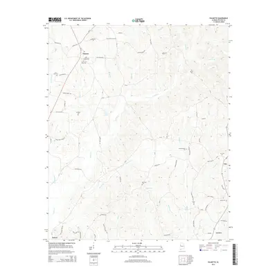
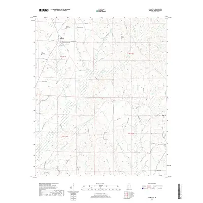
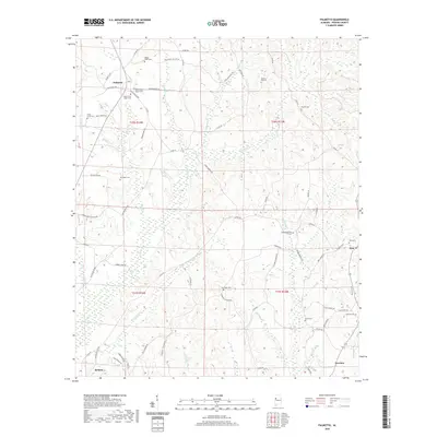
(20)- 2011 Map of Palmetto, 2011 Print
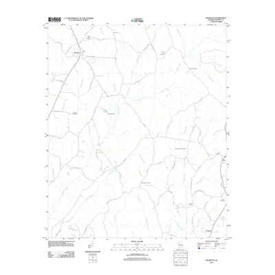 2011 Palmetto2011 Print · USGSCovers Reform, including Palmetto, Fairview, and other nearby areas
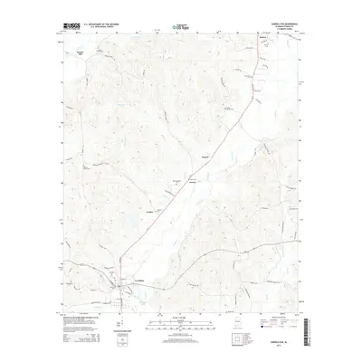
 - 2011 Map of Carrollton, 2011 Print
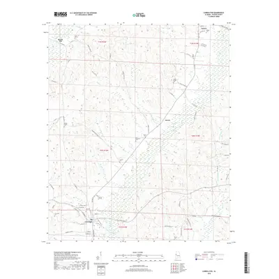
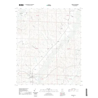
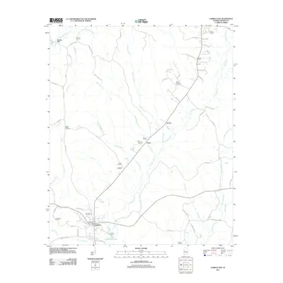 2011 Carrollton2011 Print · USGSCovers Reform, including Carrollton, Stansel, and other nearby areas
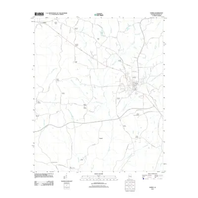
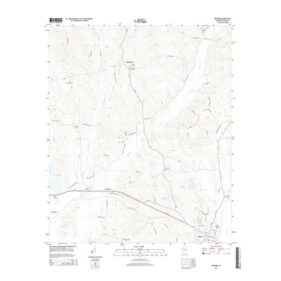
 - 2011 Map of Reform, 2011 Print
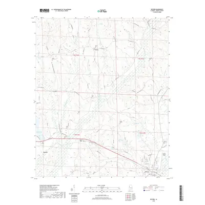
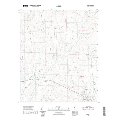
 2011 Reform2011 Print · USGSCovers Reform, including Coal Fire, Bethlehem, and other nearby areas
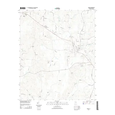
 - 2011 Map of Gordo, 2011 Print
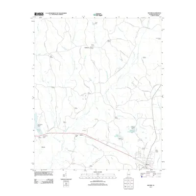
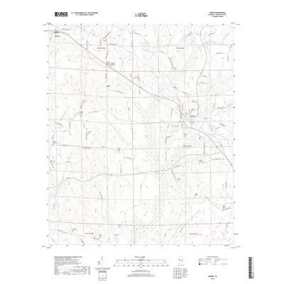
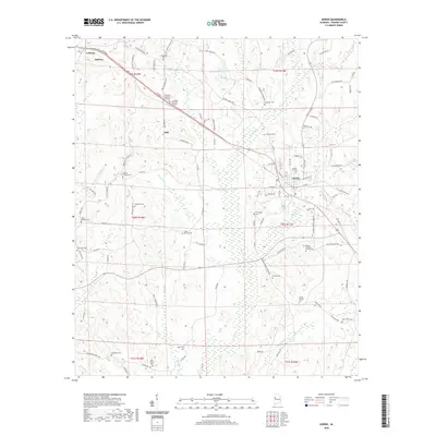
 2011 Gordo2011 Print · USGSCovers Reform, including Gordo, Bell, and other nearby areas
 - 2014 Map of Palmetto, 2014 Print
 2014 Palmetto2014 Print · USGSCovers Reform, including Palmetto, Fairview, and other nearby areas
 - 2014 Map of Carrollton, 2014 Print
 2014 Carrollton2014 Print · USGSCovers Reform, including Carrollton, Stansel, and other nearby areas
 - 2014 Map of Reform, 2014 Print
 2014 Reform2014 Print · USGSCovers Reform, including Coal Fire, Bethlehem, and other nearby areas
 - 2014 Map of Gordo, 2014 Print
 2014 Gordo2014 Print · USGSCovers Reform, including Gordo, Bell, and other nearby areas
 - 2018 Map of Reform, 2018 Print
 2018 Reform2018 Print · USGSCovers Reform, including Coal Fire, Bethlehem, and other nearby areas
 - 2018 Map of Carrollton, 2018 Print
 2018 Carrollton2018 Print · USGSCovers Reform, including Carrollton, Stansel, and other nearby areas
 - 2018 Map of Palmetto, 2018 Print
 2018 Palmetto2018 Print · USGSCovers Reform, including Palmetto, Fairview, and other nearby areas
 - 2018 Map of Gordo, 2018 Print
 2018 Gordo2018 Print · USGSCovers Reform, including Gordo, Bell, and other nearby areas
 - 2020 Map of Reform, 2020 Print
 2020 Reform2020 Print · USGSCovers Reform, including Coal Fire, Bethlehem, and other nearby areas
 - 2020 Map of Carrollton, 2020 Print
 2020 Carrollton2020 Print · USGSCovers Reform, including Carrollton, Stansel, and other nearby areas
 - 2020 Map of Palmetto, 2020 Print
 2020 Palmetto2020 Print · USGSCovers Reform, including Palmetto, Fairview, and other nearby areas
 - 2020 Map of Gordo, 2020 Print
 2020 Gordo2020 Print · USGSCovers Reform, including Gordo, Bell, and other nearby areas
 - 2024 Map of Carrollton, 2024 Print
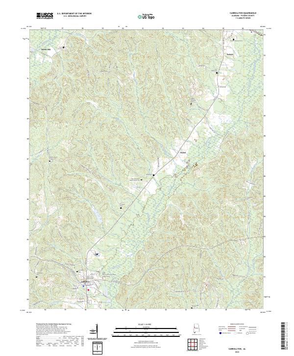 2024 Carrollton2024 Print · USGSCarrollton and the surrounding Pickens County countryside are documented here in recent years as the region maintains its rural character. Genealogists can trace family names at Carrollton Cem and Old Sardis Cem or locate the ATN Railroad corridor.
 - 2024 Map of Palmetto, 2024 Print
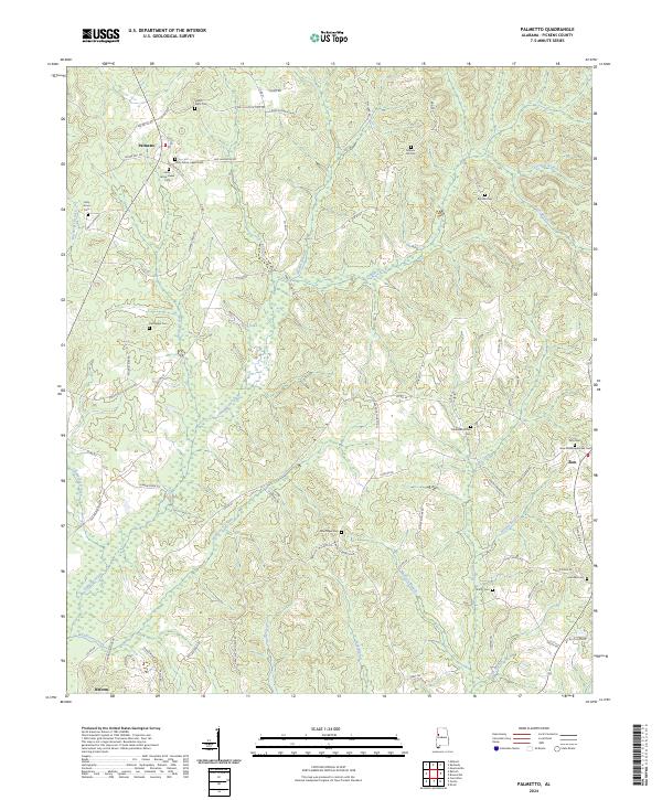 2024 Palmetto2024 Print · USGSThe rural crossroads of Pickens County are captured here in the early twenty-first century, showing the enduring settlement patterns of West Alabama. Genealogists can trace family landmarks and local burial sites like Mount Tabor Cem, Old Salem Cem, and Zion Cem.
 - 2024 Map of Reform, 2024 Print
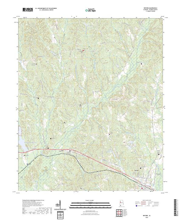 2024 Reform2024 Print · USGSReform and the surrounding Pickens County countryside appear in this recent survey of west-central Alabama. Researchers can locate numerous family burial sites like Rocky Ridge Cem and Liberty Cem or trace the winding course of Coal Fire Creek.
 - 2024 Map of Gordo, 2024 Print
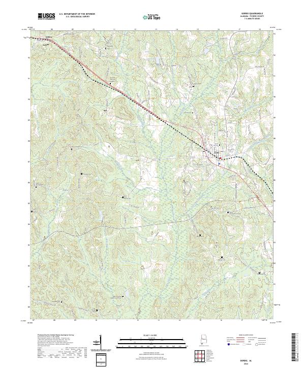 2024 Gordo2024 Print · USGSGordo and its neighboring settlements of Reform and Bell are captured in this modern survey of eastern Pickens County. Genealogists can trace decades of local history through dozens of named sites like Gordo City Cem, Hargrove Cem, and Center Springs Cem.
End of results
Showing maps 1-20 of 20
Top cities near Reform
- Aliceville historical maps
- Gordo historical maps
- Carrollton historical maps
- Millport historical maps
- Pickensville historical maps
- Kennedy historical maps
See more
Top neighborhoods of Reform
Frequently asked questions
- What are the different types of historical maps available for Reform?
- What is the oldest map of Reform?
- Where can I purchase historical maps of Reform for my home or office?
- Where can I download high-res historical maps of Reform?
- Are there historical topographic maps available for Reform?
- Is there historical aerial imagery available for Reform?
- Where are historical maps of Reform sourced from?