Old Maps of Reform, Alabama for Metal Detecting
Plan your next treasure hunt with 32 historic maps of Reform. Find old homesites, ghost towns, trails, and gathering spots that may be lost to time — perfect for identifying promising metal detecting locations.
- Locate forgotten sites: Uncover places like long-lost settlements, abandoned rail lines, or gathering spots.
- Plan better hunts: Use map overlays combined with LiDAR or satellite views to narrow in on historically rich areas.
- Made for detectorists: Thousands of hobbyists use these maps to discover relics, coins, and hidden history.
Use these historic maps to boost your research and find new opportunities beneath the surface of Reform.
Reform, AL maps
(32)- 1953 Map of Birmingham, 1964 Print
 1953 Birmingham1964 Print · USGSCentral Alabama at mid-century shows a landscape defined by industrial expansion and the iron-rich ridges surrounding Birmingham. Researchers can trace the extensive rail networks of the L & N RR or locate historic federal sites like the Anniston Ordnance Depot.4 unique versions available
 - 1953 Map of West Point, 1973 Print
 1953 West Point1973 Print · USGSNorth-Central Mississippi and the Alabama borderlands are captured here during the mid-twentieth century as new reservoirs and national forests transformed the landscape. Researchers can trace the path of the Mississippi & Skuna Valley railroad or locate old landings along the Tombigbee River and Schooner Creek.3 unique versions available
 - 1956 Map of Birmingham
 1956 Birmingham1956 Print · USGSCentral Alabama in the mid-fifties exhibits a landscape of growing cities and deep-rooted industrial corridors. Genealogists and historians can trace the development of suburban Mountain Brook or locate regional hubs like Sylacauga and Jasper.
 - 1957 Map of Birmingham
 1957 Birmingham1957 Print · USGSNorth-Central Alabama in the mid-fifties is an industrial powerhouse centered on the steel valleys and sprawling iron ridges. Genealogists and historians can trace the rail-linked growth of Birmingham and Tuscaloosa, or locate rural landmarks like Talladega College and the Anniston Ordnance Depot.
 - 1958 Map of West Point
 1958 West Point1958 Print · USGSNortheastern Mississippi and western Alabama are shown in the late 1950s, highlighting a region defined by its river-and-rail economy. Researchers can trace family roots through numerous settlements like Artesia and Vardaman or explore the corridor of the Tombigbee River.
 - 1963 Map of West Point
 1963 West Point1963 Print · USGSEastern Mississippi and western Alabama are captured in the early sixties as industrial centers and rail lines connected the Black Prairie to the hills. Genealogists and historians can trace family-named watercourses and the early footprints of Starkville, Columbus, and the Noxubee National Wildlife Refuge.2 unique versions available
 - 1967 Map of Carrollton
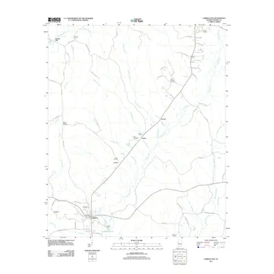
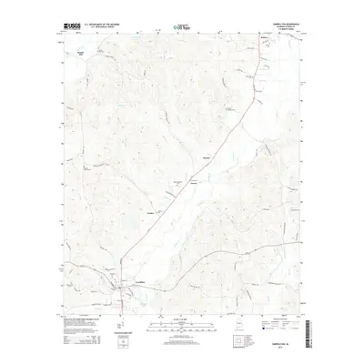
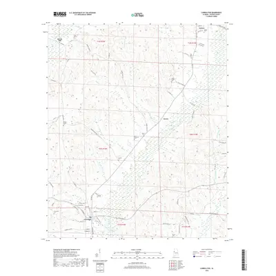
 1967 Carrollton1967 Print · USGSPickens County comes into focus during the late sixties as the regional rail and road networks centered on Carrollton matured. Researchers can trace family history through sites like Cockrell Cem, New Providence Ch, and the old ICG railroad corridor.3 unique versions available
 - 1967 Map of Gordo, 1968 Print
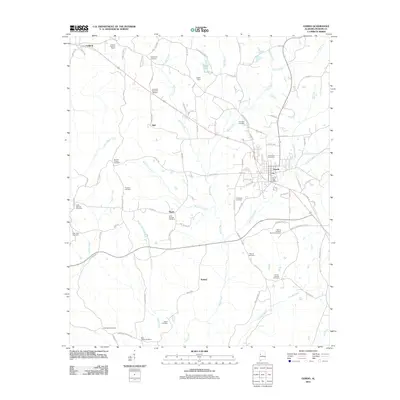
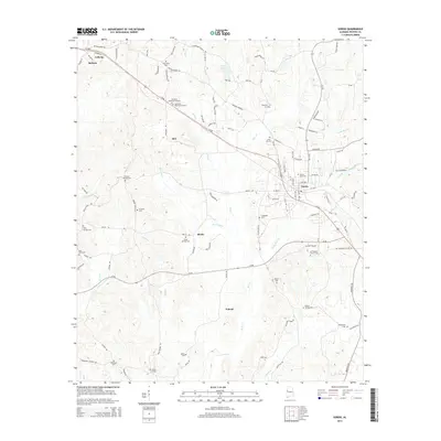
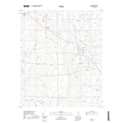
 1967 Gordo1968 Print · USGSIn late 1960s Pickens County, the town of Gordo and the settlement of Lathrop stood at a crossroads of rail history and modern highway expansion. Researchers can trace numerous family-named landmarks like Arbor Springs Ch, Linebarger Cem, and the Lathrop Lookout Tower.2 unique versions available
 - 1967 Map of Palmetto, 1968 Print
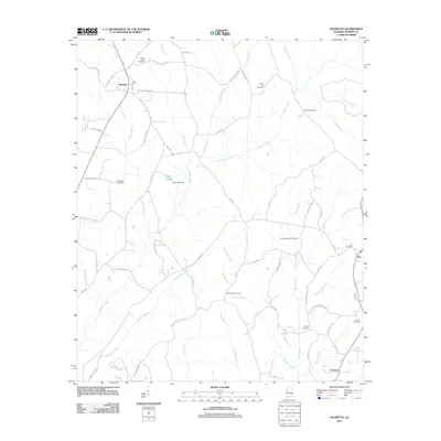
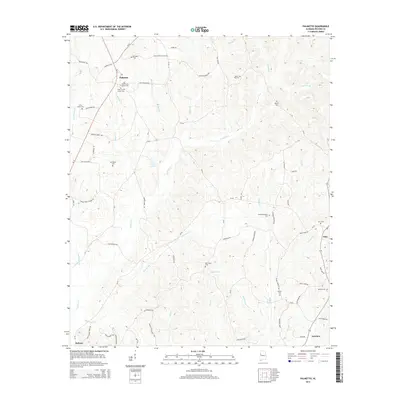
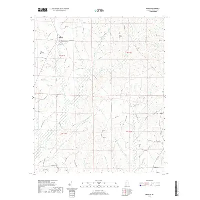
 1967 Palmetto1968 Print · USGSPickens County was a landscape of creek-side settlements and rural churches during the late 1960s. Genealogists can locate family landmarks like Mt Tabor Cem and Unity Grove Ch, or trace the winding courses of Lubbub Creek and Holly Creek.2 unique versions available
 - 1967 Map of Reform, 1968 Print
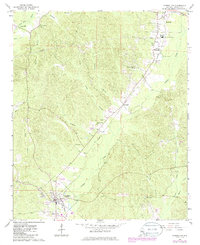
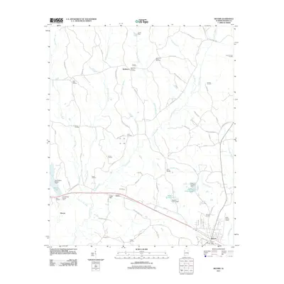
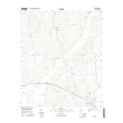
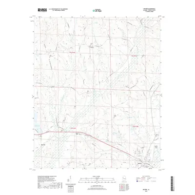
 1967 Reform1968 Print · USGSReform and the surrounding Pickens County countryside appear here in the late sixties as the local railroad economy remained in full swing. Genealogists can locate family landmarks like Hopewell Cem, Christian Hope Ch, and the Gulf Mobile and Ohio rail line.3 unique versions available
 - 1984 Map of West Point
 1984 West Point1984 Print · USGSNorth-Central Mississippi in the mid-eighties shows a landscape defined by massive water management projects and dense timberlands. Researchers can trace the legacy of rural settlements like Geeslin Corner or the rail corridors of the Illinois Central Gulf RR near Grenada Lake.3 unique versions available
 - 1984 Map of Tuscaloosa, 1985 Print
 1984 Tuscaloosa1985 Print · USGSWest-central Alabama centers on the mid-1980s expansion of the university and the river economy. Genealogists and historians can trace small-town connections through Burchfield Store, North Johns, and the rail lines of the Southern railroad.2 unique versions available
 - 2011 Map of Palmetto, 2011 Print
 2011 Palmetto2011 Print · USGSCovers Reform, including Palmetto, Fairview, and other nearby areas
 - 2011 Map of Carrollton, 2011 Print
 2011 Carrollton2011 Print · USGSCovers Reform, including Carrollton, Stansel, and other nearby areas
 - 2011 Map of Reform, 2011 Print
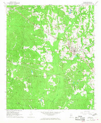
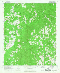
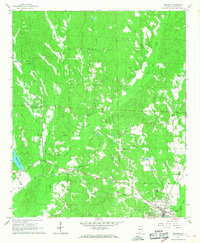
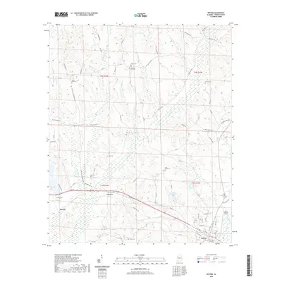
 2011 Reform2011 Print · USGSCovers Reform, including Coal Fire, Bethlehem, and other nearby areas
 - 2011 Map of Gordo, 2011 Print
 2011 Gordo2011 Print · USGSCovers Reform, including Gordo, Bell, and other nearby areas
 - 2014 Map of Palmetto, 2014 Print
 2014 Palmetto2014 Print · USGSCovers Reform, including Palmetto, Fairview, and other nearby areas
 - 2014 Map of Carrollton, 2014 Print
 2014 Carrollton2014 Print · USGSCovers Reform, including Carrollton, Stansel, and other nearby areas
 - 2014 Map of Reform, 2014 Print
 2014 Reform2014 Print · USGSCovers Reform, including Coal Fire, Bethlehem, and other nearby areas
 - 2014 Map of Gordo, 2014 Print
 2014 Gordo2014 Print · USGSCovers Reform, including Gordo, Bell, and other nearby areas
 - 2018 Map of Reform, 2018 Print
 2018 Reform2018 Print · USGSCovers Reform, including Coal Fire, Bethlehem, and other nearby areas
 - 2018 Map of Carrollton, 2018 Print
 2018 Carrollton2018 Print · USGSCovers Reform, including Carrollton, Stansel, and other nearby areas
 - 2018 Map of Palmetto, 2018 Print
 2018 Palmetto2018 Print · USGSCovers Reform, including Palmetto, Fairview, and other nearby areas
 - 2018 Map of Gordo, 2018 Print
 2018 Gordo2018 Print · USGSCovers Reform, including Gordo, Bell, and other nearby areas
 - 2020 Map of Reform, 2020 Print
 2020 Reform2020 Print · USGSCovers Reform, including Coal Fire, Bethlehem, and other nearby areas
Showing maps 1-25 of 32
Top cities near Reform
- Aliceville historical maps
- Gordo historical maps
- Carrollton historical maps
- Millport historical maps
- Pickensville historical maps
- Kennedy historical maps
See more
Top neighborhoods of Reform
Frequently asked questions
- What are the different types of historical maps available for Reform?
- What is the oldest map of Reform?
- Where can I purchase historical maps of Reform for my home or office?
- Where can I download high-res historical maps of Reform?
- Are there historical topographic maps available for Reform?
- Is there historical aerial imagery available for Reform?
- Where are historical maps of Reform sourced from?