2010s Maps of Tuscaloosa County, Alabama
Explore 90 historic maps of Tuscaloosa County from the 2010s. These maps offer a rare glimpse into what life looked like during the 2010s — showing old roads, neighborhoods, homes, and landmarks that have changed or disappeared over time.
Whether you're researching your family's past, planning a metal detecting trip, or studying how Tuscaloosa County's landscape evolved across the 2010s, these high-resolution maps are a powerful tool for exploring the history of this region.
- Focus on a specific era: All maps on this page are from the 2010s, giving you a focused view of this time period.
- See what’s changed: Compare century-old streets, trails, and buildings to today's modern landscape using overlays and satellite layers.
- Research with precision: Use these maps for genealogy, historical research, land use analysis, or educational projects.
- View, download, or print: Maps are fully viewable online in high resolution, and can be downloaded or printed for your own records.
Start exploring Tuscaloosa County's history through authentic maps from the 2010s. This is your window into the past.
Tuscaloosa County, AL maps
(90)- 2011 Map of Duncanville, 2011 Print
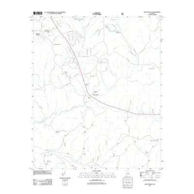 2011 Duncanville2011 Print · USGSDuncanville and its surrounding Tuscaloosa County countryside are shown here in the early twenty-first century, featuring a landscape of family cemeteries and timbered creeks. Researchers can trace local history through the Duncanville Post Office, the Shiloh Lookout Tower, and numerous sites like Mount Sinai Cemetery.
 - 2011 Map of Gin Creek, 2011 Print
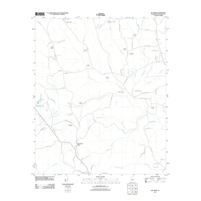 2011 Gin Creek2011 Print · USGSTuscaloosa County at the start of the 2010s reveals a rural landscape deeply rooted in family history and creek-side settlement. Genealogists and local historians can trace ancestral sites across nearly twenty burial grounds, from Phillips Chapel Cemetery to Nazareth Cemetery.
 - 2011 Map of Brownville, 2011 Print
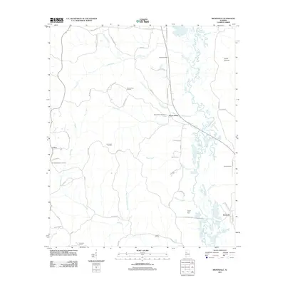 2011 Brownville2011 Print · USGSNear the Alabama-Mississippi border in the early 2010s, this area reflects a landscape of river-bottom farms and quiet rural settlements. Researchers can trace family history at Sardis Cemetery or locate old community hubs like Lubbub and Moores Bridge.
 - 2011 Map of Romulus, 2011 Print
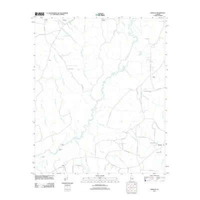 2011 Romulus2011 Print · USGSWest of Tuscaloosa in the early 2000s, the rural landscapes of Jena and Romulus remain defined by the winding Sipsey River. Local historians can trace old river crossings at Huffmans Ford or locate ancestral sites at Backbone Cemetery and Jordan Cemetery.
 - 2011 Map of Lake Tuscaloosa South, 2011 Print
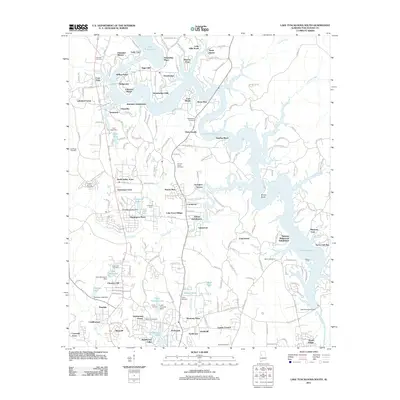 2011 Lake Tuscaloosa South2011 Print · USGSTuscaloosa County at the start of the 2010s shows a landscape transformed by the waters of the North River reservoir. Genealogists and local historians can trace legacy sites like Bakers Ford, Camp Tuscoha, and numerous family burial grounds including Shirley Cemetery.
 - 2011 Map of Elrod, 2011 Print
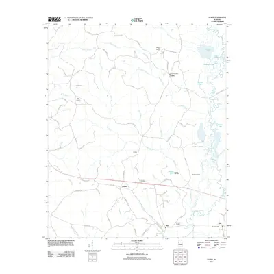 2011 Elrod2011 Print · USGSWestern Tuscaloosa County is documented here during the early twenty-first century as a landscape of rural crossroads and river bottomlands. Genealogists can locate numerous local landmarks including Mount Nebo Cemetery, the Echola Post Office, and the winding Sipsey River.
 - 2011 Map of Woodstock, 2011 Print
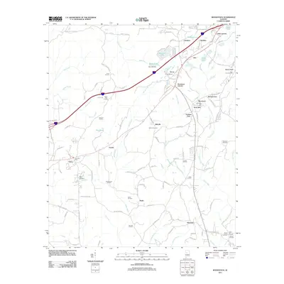 2011 Woodstock2011 Print · USGSTuscaloosa and Bibb counties are shown here as they appeared in the early twenty-first century, centered on the growing corridor between Vance and Woodstock. Genealogists can locate numerous local burial sites like Union Cemetery and Hopewell Cemetery or trace the Old Stagecoach Road.
 - 2011 Map of Fosters, 2011 Print
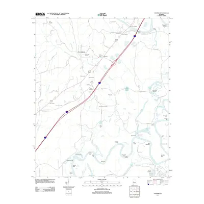 2011 Fosters2011 Print · USGSThe Black Warrior River valley near Moundville is shown here in the early twenty-first century, revealing a landscape deeply tied to its waterways. Local historians can trace family ties through numerous sites like Holly Springs Cemetery, Beale Cemetery, and the historic Foster Ferry Bridge.
 - 2011 Map of Lake Lurleen, 2011 Print
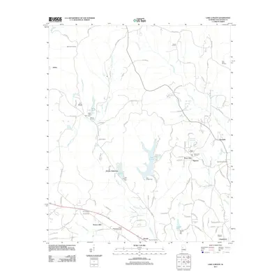 2011 Lake Lurleen2011 Print · USGSNorthport and the surrounding Tuscaloosa County woodlands are shown here in the early 2000s, centered on the waters of Lake Lurleen. Researchers can trace decades of local history through numerous burial sites like Bone Camp Cemetery and the African Methodist Episcopal Church Cemetery.
 - 2011 Map of Brookwood, 2011 Print
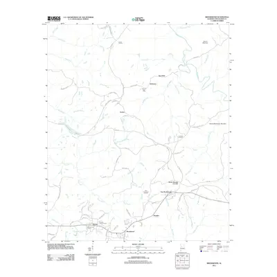 2011 Brookwood2011 Print · USGSBrookwood and the industrial landscapes of Tuscaloosa County are shown here in the early 21st century. Researchers can trace historic local centers like Kellerman and Searles, or locate family sites at Antioch Cemetery and Little Hurricane Cemetery.
 - 2011 Map of Abernant, 2011 Print
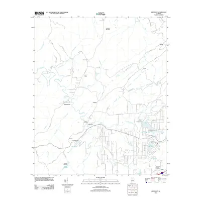 2011 Abernant2011 Print · USGSTuscaloosa County at the start of the twenty-first century reveals a landscape of old mining-era settlements evolving into lakeside communities. Researchers can trace family roots at Liberty Cemetery or explore the geography of Pattersontown and Million Dollar Lake.
 - 2011 Map of Halfmile Shoals, 2011 Print
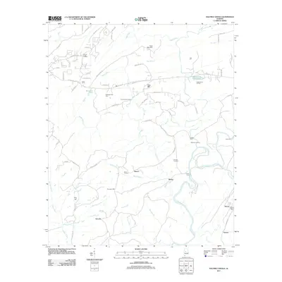 2011 Halfmile Shoals2011 Print · USGSBibb and Shelby County borders meet along the Cahaba River in this early 21st-century survey. Genealogists can locate several family burial sites including Higganbotham Cemetery and trace the old river crossings at Mitchell Ford.
 - 2011 Map of Coaling, 2011 Print
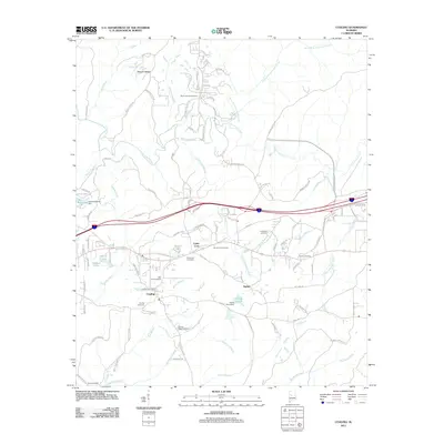 2011 Coaling2011 Print · USGSThe rural communities of Tuscaloosa County are documented here in the early twenty-first century as modern roads began to reshape the landscape. Researchers can trace local lineage through numerous sites like Big Hurricane Cemetery, Mount Zion Cemetery, and the Coaling Post Office.
 - 2011 Map of Newtonville, 2011 Print
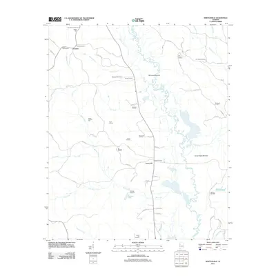 2011 Newtonville2011 Print · USGSFayette County's rural landscape is captured here in the early 2000s, showing the winding Sipsey River and the small settlements of Newtonville and Jerusalem. Genealogists can locate over a dozen burial sites including Zion Chapel Cemetery and Pilgrim Rest Cemetery.
 - 2011 Map of Tutwiler School, 2011 Print
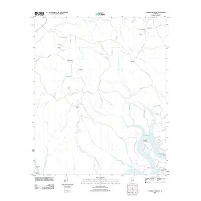 2011 Tutwiler School2011 Print · USGSWalker County's rural uplands and the winding reaches of the Black Warrior River appear here in the early twenty-first century. Genealogists and local historians can trace family locations near Fairview Cemetery, the heights of High Hill Fire Tower, or the riverside landings at Humber Bend.
 - 2011 Map of New Lexington, 2011 Print
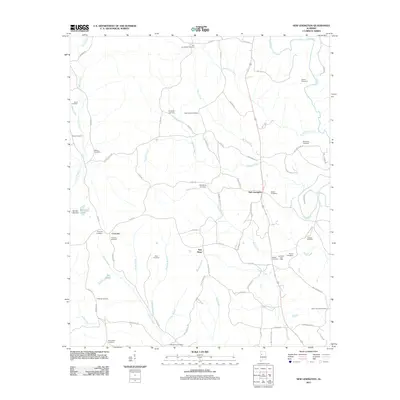 2011 New Lexington2011 Print · USGSTuscaloosa County at the start of the 2010s shows a unique intersection of rural heritage and energy production. Genealogists and historians can trace numerous family landmarks like Vick and Kelley Cemetery, Patterson Cemetery, and the Lexington Gas Field.
 - 2011 Map of McCalla, 2011 Print
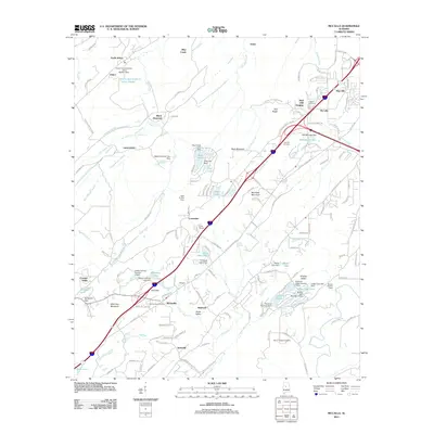 2011 McCalla2011 Print · USGSJefferson County and the ridges of the Alabama Appalachians are seen here in the early twenty-first century. Genealogists and local historians can trace family sites at Bucksville Cemetery, locate the community of McCalla, or explore the grounds near Tannehill.
 - 2011 Map of Cottondale, 2011 Print
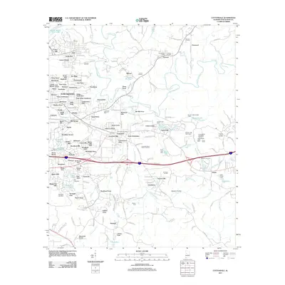 2011 Cottondale2011 Print · USGSEastern Tuscaloosa County in the early twenty-first century shows a complex landscape of expanding subdivisions and historic rural centers. Researchers can trace family roots through Ruhama Cemetery or locate landmarks like Prudes Mill Pond and Peterson Post Office.
 - 2011 Map of Coker, 2011 Print
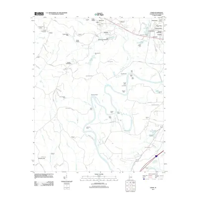 2011 Coker2011 Print · USGSTuscaloosa County at the start of the 2010s reveals a mix of deep river-bend history and modern residential growth. Genealogists and historians can trace numerous family-named landmarks and old burial sites, from Beautiful Zion Cemetery to the historic Bozeman Landing on the river.
 - 2011 Map of Pearson, 2011 Print
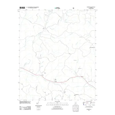 2011 Pearson2011 Print · USGSTuscaloosa County in the early twenty-first century shows a landscape of deep-rooted rural communities and family landmarks. Genealogists can trace local heritage through numerous burial grounds like Hubbard Springs Cemetery and Liberty Cemetery or the site of Stewart Settlement.
 - 2011 Map of Lake Tuscaloosa North, 2011 Print
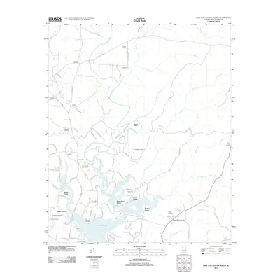 2011 Lake Tuscaloosa North2011 Print · USGSTuscaloosa County at the start of the decade shows a landscape shaped by the reservoir and rural tradition. Genealogists can trace family names at Old Prewitte Cemetery or Philadelphia Cemetery, while others can locate the Northside Gas Field and Samantha Post Office.
 - 2011 Map of Ralph, 2011 Print
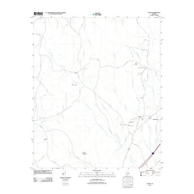 2011 Ralph2011 Print · USGSThe community of Ralph and its surrounding rural church-yards are captured here in the early twenty-first century. Family historians can locate numerous burial sites, including Sealy Cemetery, Beulah Cemetery, and Mount Herman Cemetery.
 - 2011 Map of Berry SE, 2011 Print
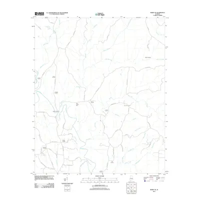 2011 Berry SE2011 Print · USGSIn the early 2000s, this area of Tuscaloosa County remained a landscape of rural family settlements and winding creek beds. Genealogists can trace decades of local history through the numerous burial sites, including Sulphur Springs Cemetery, Sterling Cemetery, and Utley Cemetery.
 - 2011 Map of Lake Nicol, 2011 Print
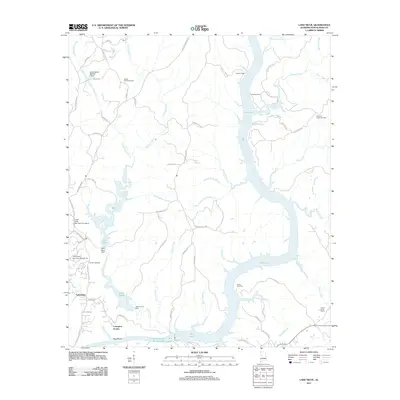 2011 Lake Nicol2011 Print · USGSTuscaloosa County in the early twenty-first century shows a landscape defined by large reservoirs and suburban growth. Researchers can locate family landmarks such as Center Cemetery and Howells Camp alongside the shores of Holt Lake.
 - 2011 Map of Windham Springs, 2011 Print
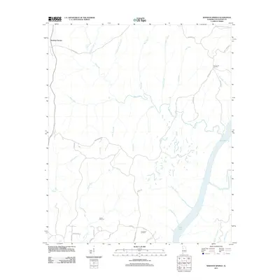 2011 Windham Springs2011 Print · USGSWindham Springs and the surrounding Tuscaloosa County hills are captured here at the start of the 2010s. Genealogists and local historians can trace the rural landscape through family landmarks like Spencer Hill Cemetery and geographic markers such as Walton Road Ford.
Showing maps 1-25 of 90
Top cities of Tuscaloosa County
- Tuscaloosa historical maps
- Northport historical maps
- Abernant historical maps
- Lake View historical maps
- Holt historical maps
- Brookwood historical maps
See more
Frequently asked questions
- What are the different types of historical maps available for Tuscaloosa County?
- What is the oldest map of Tuscaloosa County?
- Where can I purchase historical maps of Tuscaloosa County for my home or office?
- Where can I download high-res historical maps of Tuscaloosa County?
- Are there historical topographic maps available for Tuscaloosa County?
- Is there historical aerial imagery available for Tuscaloosa County?
- Where are historical maps of Tuscaloosa County sourced from?