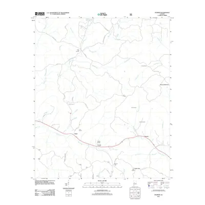
2011 Map of Pearson
USGS Topo · Published 2011About this map
Pearson and its neighboring hamlets of Hagler and Harmon define the residential character of this Tuscaloosa County landscape. The area is defined by a dense network of family-named cemeteries, such as the Sandy Creek Cemetery, Burns Cemetery, and Hubbard Cemetery, which suggest long-standing generational ties to the land. The terrain is marked by the passage of Bear Creek and Mooney Creek, while Pearson Gap provides a natural corridor through the local topography. Further east, the Stewart Settlement and Little Hope represent small, dispersed clusters of rural development. The drainage patterns of Big Sandy Creek and Haggard Creek dominate the northern half of the sheet, illustrating the creek-fed geography that once dictated the placement of early homesteads and country roads like Hagler Coaling Rd and Serty Boyd Rd.
Find a feature on this map
46 named features on this map. Tap any name to fly to it.
Don’t see what you’re looking for? This feature index may not catch every label — zoom into the map to look around manually.
Map Details
Editions of this 2011 Pearson Map
This is the sole edition of this map. No revisions or reprints were ever made.
Other maps of this area

1899 · Brookwood
USGS Topo · 1:125,000

1931 · Cottondale
USGS Topo · 1:48,000

1934 · Cottondale
USGS Topo · 1:62,500

1934 · Blocton
USGS Topo · 1:48,000

1940 · Blocton
USGS Topo · 1:62,500

1953 · Montgomery
USGS Topo · 1:250,000

1953 · Birmingham
USGS Topo · 1:250,000

1956 · Birmingham
USGS Topo · 1:250,000

1956 · Montgomery
USGS Topo · 1:250,000

1957 · Birmingham
USGS Topo · 1:250,000