2020s Maps of Winston County, Alabama
Explore 50 historic maps of Winston County from the 2020s. These maps offer a rare glimpse into what life looked like during the 2020s — showing old roads, neighborhoods, homes, and landmarks that have changed or disappeared over time.
Whether you're researching your family's past, planning a metal detecting trip, or studying how Winston County's landscape evolved across the 2020s, these high-resolution maps are a powerful tool for exploring the history of this region.
- Focus on a specific era: All maps on this page are from the 2020s, giving you a focused view of this time period.
- See what’s changed: Compare century-old streets, trails, and buildings to today's modern landscape using overlays and satellite layers.
- Research with precision: Use these maps for genealogy, historical research, land use analysis, or educational projects.
- View, download, or print: Maps are fully viewable online in high resolution, and can be downloaded or printed for your own records.
Start exploring Winston County's history through authentic maps from the 2020s. This is your window into the past.
Winston County, AL maps
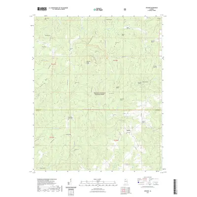
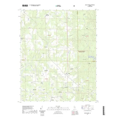
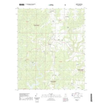
(50)- 2020 Map of Cold Springs, 2020 Print
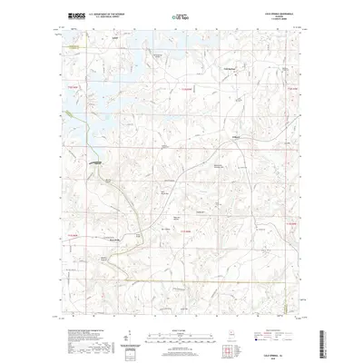 2020 Cold Springs2020 Print · USGSCovers Winston County, including Cold Springs, Powellville, and other nearby areas
 - 2020 Map of Carbon Hill, 2020 Print
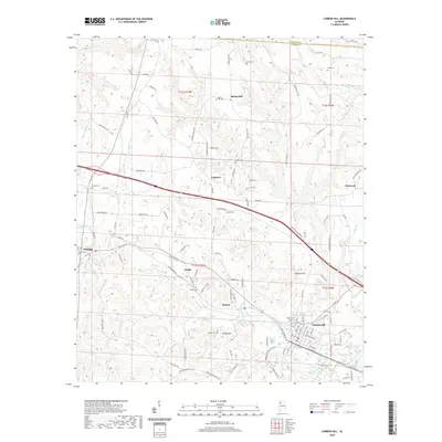 2020 Carbon Hill2020 Print · USGSCovers Winston County, including Carbon Hill, Kansas, and other nearby areas
 - 2020 Map of Phil Campbell, 2020 Print
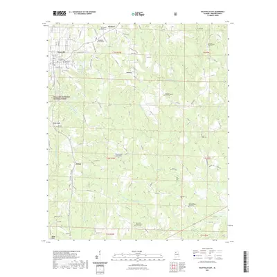
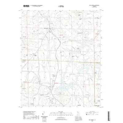 2020 Phil Campbell2020 Print · USGSCovers Winston County, including Haleyville, Bear Creek, and other nearby areas
 - 2021 Map of Arley, 2021 Print
 2021 Arley2021 Print · USGSCovers Winston County, including Arley, Wilson Bend, and other nearby areas
 - 2021 Map of Upshaw, 2021 Print
 2021 Upshaw2021 Print · USGSCovers Winston County, including Upshaw, Lawrence County, and other nearby areas
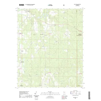
 - 2021 Map of Black Pond, 2021 Print
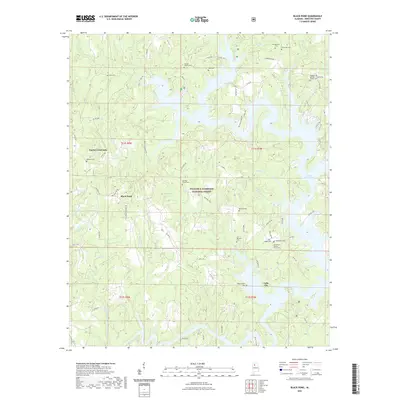 2021 Black Pond2021 Print · USGSCovers Winston County, including Falls City, Black Pond, and other nearby areas
 - 2021 Map of Gold Mine, 2021 Print
 2021 Gold Mine2021 Print · USGSCovers Winston County, including Brilliant, Whitehouse, and other nearby areas
 - 2021 Map of Houston, 2021 Print
 2021 Houston2021 Print · USGSCovers Winston County, including Double Springs, Fairview, and other nearby areas
 - 2021 Map of Haleyville East, 2021 Print
 2021 Haleyville East2021 Print · USGSCovers Winston County, including Haleyville, Boar Tush, and other nearby areas
 - 2021 Map of Kinlock Spring, 2021 Print
 2021 Kinlock Spring2021 Print · USGSCovers Winston County, including Haleyville, Forkville, and other nearby areas
 - 2021 Map of Crane Hill, 2021 Print
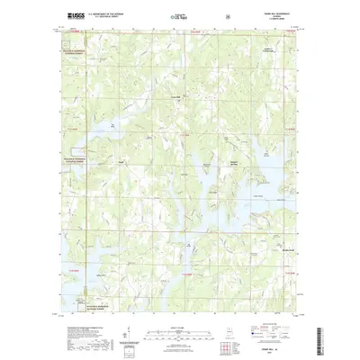 2021 Crane Hill2021 Print · USGSCovers Winston County, including Sulphur Springs, Crane Hill, and other nearby areas
 - 2021 Map of Nauvoo, 2021 Print
 2021 Nauvoo2021 Print · USGSCovers Winston County, including Carbon Hill, Nauvoo, and other nearby areas
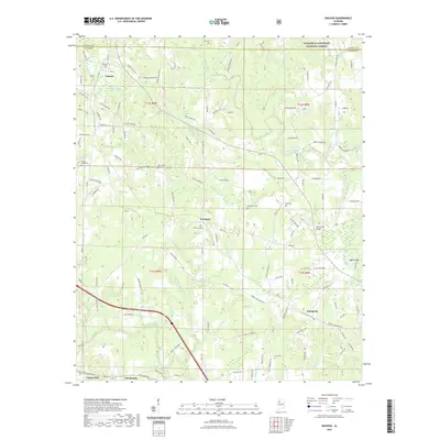
 - 2021 Map of Manchester, 2021 Print
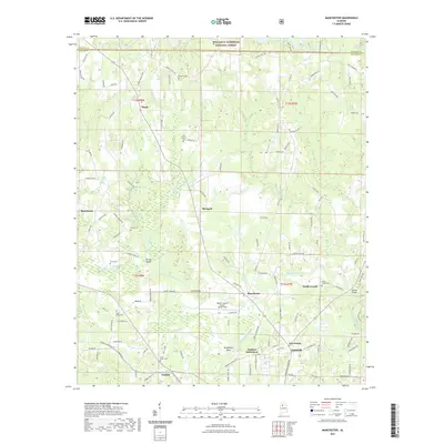 2021 Manchester2021 Print · USGSCovers Winston County, including Jasper, Thach, and other nearby areas
 - 2021 Map of Sunlight, 2021 Print
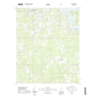 2021 Sunlight2021 Print · USGSCovers Winston County, including Jasper, Lake Shore Subdivision, and other nearby areas
 - 2021 Map of Double Springs, 2021 Print
 2021 Double Springs2021 Print · USGSCovers Winston County, including Double Springs, Rock Creek, and other nearby areas
 - 2021 Map of Grayson, 2021 Print
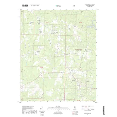
 2021 Grayson2021 Print · USGSCovers Winston County, including Ellaville, Hepsidam, and other nearby areas
 - 2021 Map of Addison, 2021 Print
 2021 Addison2021 Print · USGSCovers Winston County, including Addison, Inmanfield, and other nearby areas
 - 2021 Map of Lynn, 2021 Print
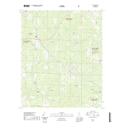 2021 Lynn2021 Print · USGSCovers Winston County, including Lynn, Natural Bridge, and other nearby areas
 - 2021 Map of Bee Branch, 2021 Print
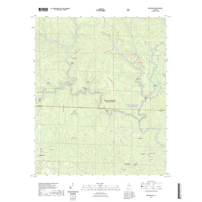 2021 Bee Branch2021 Print · USGSCovers Winston County, including Rabbittown, Lawrence County, and other nearby areas
 - 2021 Map of Jones Chapel, 2021 Print
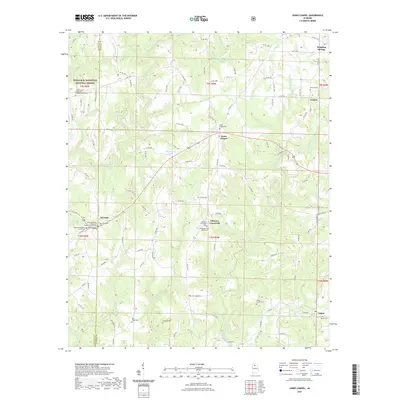 2021 Jones Chapel2021 Print · USGSCovers Winston County, including Jones Chapel, Nesmith, and other nearby areas
 - 2021 Map of Haleyville West, 2021 Print
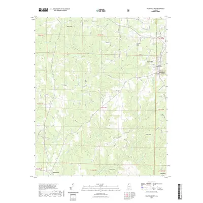 2021 Haleyville West2021 Print · USGSCovers Winston County, including Haleyville, Bear Creek, and other nearby areas
 - 2021 Map of Massey, 2021 Print
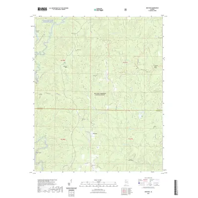
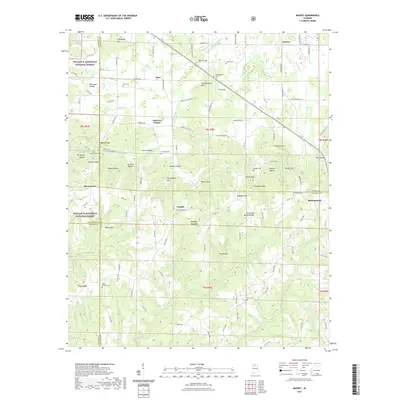 2021 Massey2021 Print · USGSCovers Winston County, including Piney Grove, Clifty, and other nearby areas
 - 2021 Map of Poplar Springs, 2021 Print
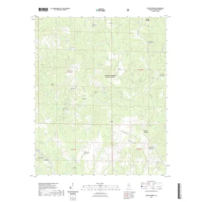 2021 Poplar Springs2021 Print · USGSCovers Winston County, including Double Springs, Ashbank, and other nearby areas
 - 2023 Map of Poplar Springs, 2023 Print
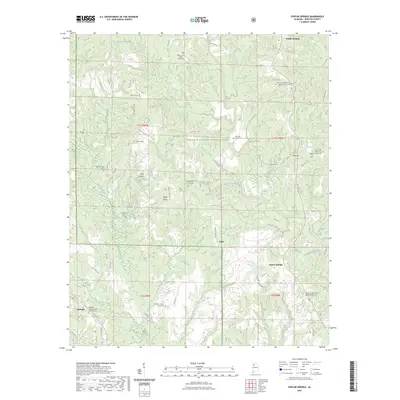 2023 Poplar Springs2023 Print · USGSCovers Winston County, including Double Springs, Ashbank, and other nearby areas
 - 2024 Map of Upshaw, 2024 Print
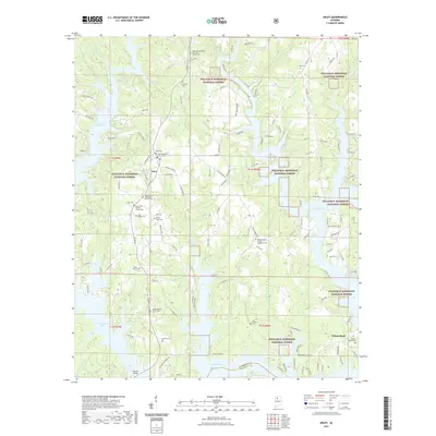
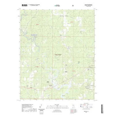
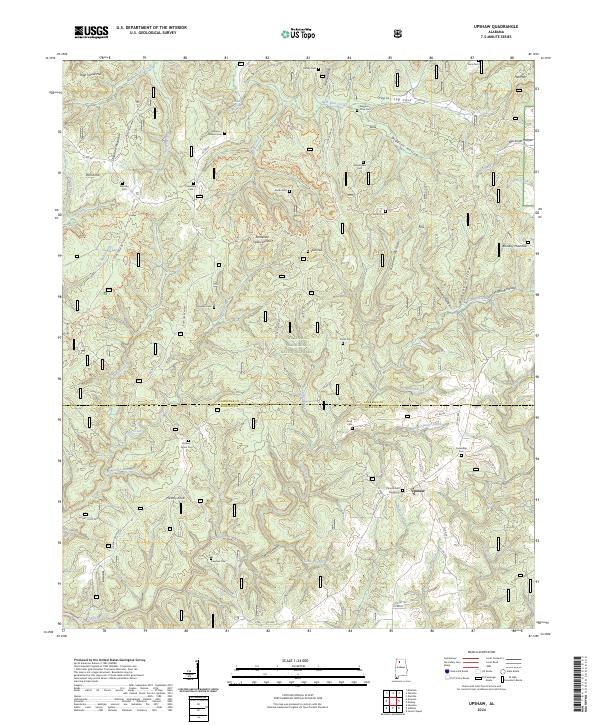 2024 Upshaw2024 Print · USGSThe North Alabama highlands near the Lawrence and Winston county line are shown here as they appeared in 2024. Researchers can trace family history through local landmarks like Corinth Cem Number 2, the settlement of Upshaw, and the ridges of Dillashaw Mountain.
Showing maps 1-25 of 50
Top cities of Winston County
- Haleyville historical maps
- Double Springs historical maps
- Lynn historical maps
- Addison historical maps
- Arley historical maps
- Natural Bridge historical maps
Frequently asked questions
- What are the different types of historical maps available for Winston County?
- What is the oldest map of Winston County?
- Where can I purchase historical maps of Winston County for my home or office?
- Where can I download high-res historical maps of Winston County?
- Are there historical topographic maps available for Winston County?
- Is there historical aerial imagery available for Winston County?
- Where are historical maps of Winston County sourced from?