2010s Maps of Winston County, Alabama
Explore 69 historic maps of Winston County from the 2010s. These maps offer a rare glimpse into what life looked like during the 2010s — showing old roads, neighborhoods, homes, and landmarks that have changed or disappeared over time.
Whether you're researching your family's past, planning a metal detecting trip, or studying how Winston County's landscape evolved across the 2010s, these high-resolution maps are a powerful tool for exploring the history of this region.
- Focus on a specific era: All maps on this page are from the 2010s, giving you a focused view of this time period.
- See what’s changed: Compare century-old streets, trails, and buildings to today's modern landscape using overlays and satellite layers.
- Research with precision: Use these maps for genealogy, historical research, land use analysis, or educational projects.
- View, download, or print: Maps are fully viewable online in high resolution, and can be downloaded or printed for your own records.
Start exploring Winston County's history through authentic maps from the 2010s. This is your window into the past.
Winston County, AL maps
(69)- 2011 Map of Arley, 2011 Print
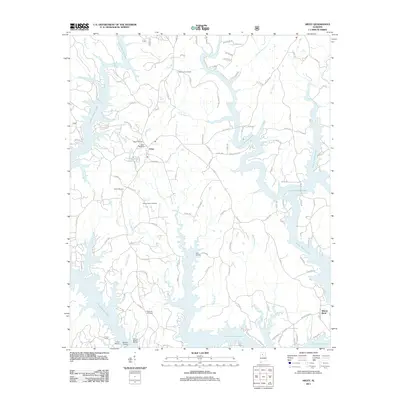 2011 Arley2011 Print · USGSArley and the winding shores of Lewis Smith Lake are documented here in the early twenty-first century. Researchers can locate family landmarks like Meek Cemetery or trace the development of the shoreline near Wilson Bend and Duncan Bridge.
 - 2011 Map of Poplar Springs, 2011 Print
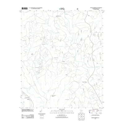 2011 Poplar Springs2011 Print · USGSWinston County, Alabama, in the early 2010s shows a landscape of deep-rooted rural communities and winding creek branches. Genealogists can trace family sites at Blue Springs Cemetery or locate the Old Union Missionary Baptist Church Cemetery near Ashbank.
 - 2011 Map of Crane Hill, 2011 Print
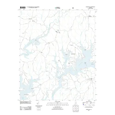 2011 Crane Hill2011 Print · USGSCullman County’s intricate lakefront and rural communities are detailed in this 2010s survey. Researchers can trace family history through several local burial sites like Mount Hope Cemetery and Livingston Chapel Cemetery, or locate the Crane Hill Post Office.
 - 2011 Map of Black Pond, 2011 Print
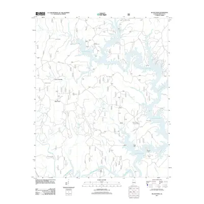 2011 Black Pond2011 Print · USGSThe Winston County hills and the expansive Lewis Smith Lake define this Alabama landscape in the early 21st century. Researchers can locate numerous family burial sites such as Gaddy Cemetery and Avery Cemetery, or trace old routes near Slick Ford and Falls City.
 - 2011 Map of Addison, 2011 Print
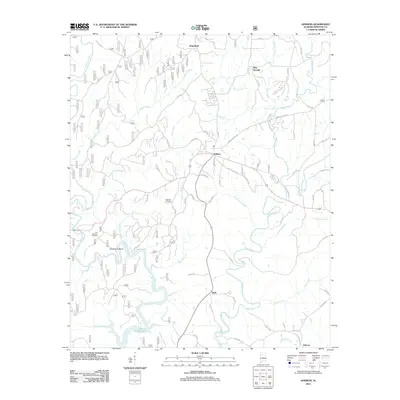 2011 Addison2011 Print · USGSThe northern reaches of the Bankhead National Forest region are shown here as they appeared in the early 21st century. Genealogists and local historians can trace family locations near Suddeth Cemetery, the settlement at Addison, or the banks of Lewis Smith Lake.
 - 2011 Map of Cold Springs, 2011 Print
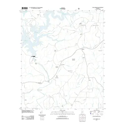 2011 Cold Springs2011 Print · USGSCullman County in the early twenty-first century is defined by the expansive Lewis Smith Lake and its winding rural corridors. Researchers can trace family history through several burial grounds and small settlements like Wilburn, Antioch Cemetery, and the Bremen Post Office.
 - 2011 Map of Nauvoo, 2011 Print
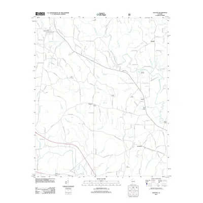 2011 Nauvoo2011 Print · USGSWalker County settlement and river geography are documented here in the early twenty-first century. Researchers can trace family roots through numerous sites like King Cemetery and locate historical landmarks such as Odums Mill Dam or Saragossa.
 - 2011 Map of Manchester, 2011 Print
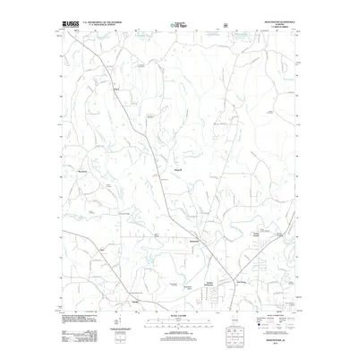 2011 Manchester2011 Print · USGSIn the hills of Walker County just after the first decade of the new millennium, this landscape shows a blend of rural life and energy production. Genealogists and local historians can trace family roots through the Old Bennett Cemetery or locate landmarks like the Russell Fire Tower and Johnsey Bridge.
 - 2011 Map of Sunlight, 2011 Print
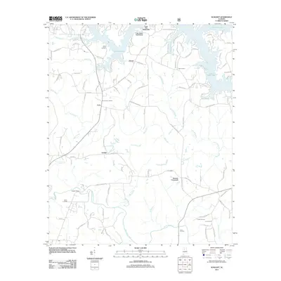 2011 Sunlight2011 Print · USGSWalker County at the beginning of the twenty-first century shows a landscape where rural crossroads meet modern lakeside development. Researchers can trace family history at Tidwell Cemetery or Mount Vernon Cemetery and locate older settlements like Sunlight and Marylee.
 - 2011 Map of Carbon Hill, 2011 Print
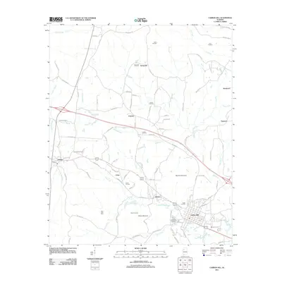 2011 Carbon Hill2011 Print · USGSWalker County at the dawn of the 2010s shows a landscape of small hill towns and industrial heritage. Researchers can trace family roots through numerous sites like Shiloh Cemetery or explore the geography of Slicklizzard and the Carbon Hill National Fish Hatchery.
 - 2011 Map of Bee Branch, 2011 Print
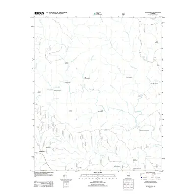 2011 Bee Branch2011 Print · USGSRabbittown and the surrounding national forest wilderness are shown in great detail in the early 2010s. Genealogists can trace family connections at Johnson Cemeteries or Wolfpen Cemetery, while hikers can locate Needles Eye and Big Tree Canyon.
 - 2011 Map of Phil Campbell, 2011 Print
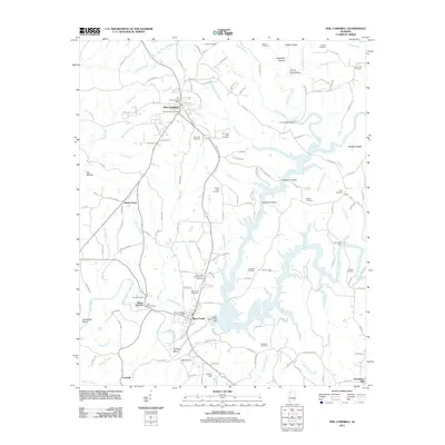 2011 Phil Campbell2011 Print · USGSThe community of Phil Campbell and its surrounding hill country are captured in this 2011 survey. Local researchers can trace family landmarks and early industry through sites like Allens Factory, Mars Hill Cemetery, and the Upper Bear Creek Dam.
 - 2011 Map of Haleyville East, 2011 Print
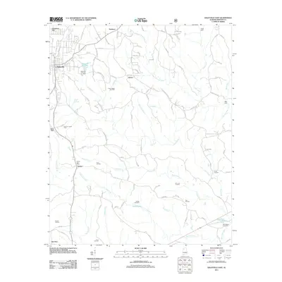 2011 Haleyville East2011 Print · USGSWinston County, Alabama, is documented here in the early 2000s, showing a landscape defined by creek valleys and small rural communities. Genealogists can locate family-named sites like Poole Cemetery and Ryefield Cemetery, or trace old roads near Boar Tush and Delmar.
 - 2011 Map of Massey, 2011 Print
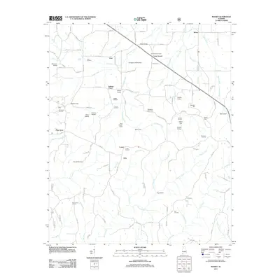 2011 Massey2011 Print · USGSNorth Alabama's rural uplands are mapped here in the early twenty-first century, showcasing a landscape of small communities and family landmarks. Researchers can trace local lineages through Cave Spring Cemetery, Andrews Chapel, and several coves like Tom Powell Cove.
 - 2011 Map of Houston, 2011 Print
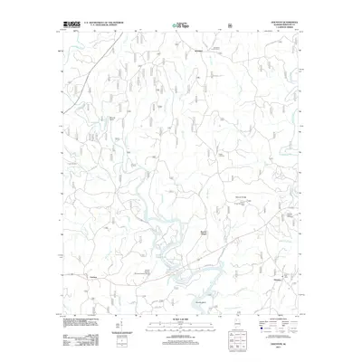 2011 Houston2011 Print · USGSWinston County, Alabama, is documented here in the modern era as the northern reaches of the Sipsey Fork feed into the expansive Lewis Smith Lake. Genealogists and local historians can pinpoint the Houston Post Office, Pisgah Cemetery, and the Moreland Lookout Tower.
 - 2011 Map of Double Springs, 2011 Print
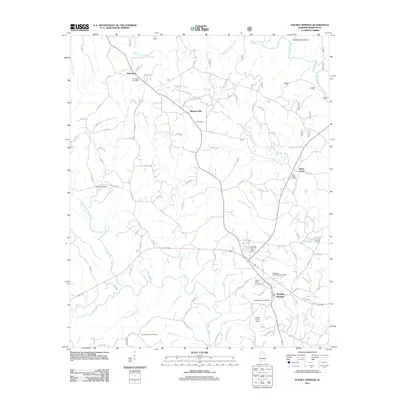 2011 Double Springs2011 Print · USGSDouble Springs and the surrounding Bankhead Forest region are shown here in the early 21st century. Researchers can locate family landmarks such as Ashridge Cemetery, Sutton Cemetery, and the Double Springs Post Office while tracing the winding paths of Widows Creek and Clear Creek.
 - 2011 Map of Grayson, 2011 Print
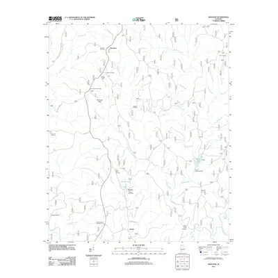 2011 Grayson2011 Print · USGSThe timber and creek lands of Winston County are captured here in the early twenty-first century. Researchers can locate family landmarks like Bunyan Hill Cemetery and Shiloh Cemetery or trace the remote settlement at Hepsidam.
 - 2011 Map of Haleyville West, 2011 Print
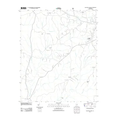 2011 Haleyville West2011 Print · USGSThe outskirts of Winston County come into focus in the early twenty-first century as suburban Haleyville gives way to rural creek valleys. Researchers can trace family history through numerous sites like Trinity, New Hope Cemetery, and Thornhill Cemetery.
 - 2011 Map of Jones Chapel, 2011 Print
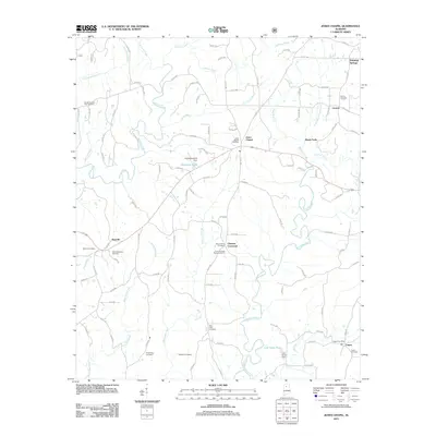 2011 Jones Chapel2011 Print · USGSCullman County's rural communities like Jones Chapel and Nesmith are shown in detail during the early twenty-first century. Genealogists can trace family roots through numerous burial sites, including Sardis Number Two Cemetery and the Logan Cemetery.
 - 2011 Map of Lynn, 2011 Print
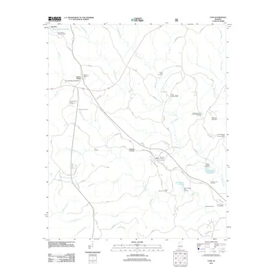 2011 Lynn2011 Print · USGSWinston County, Alabama, is documented here in the early twenty-first century as a landscape of rural settlements and winding creeks. Genealogists and local historians can trace family locations through numerous sites like Wakefield Cemetery, Mount Ararat Cemetery, and the Natural Bridge of Alabama.
 - 2011 Map of Upshaw, 2011 Print
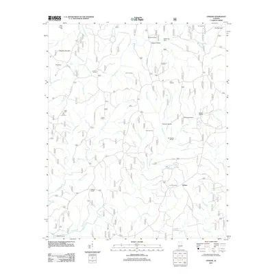 2011 Upshaw2011 Print · USGSUpshaw and the surrounding Winston County highlands are captured here in the early twenty-first century. Genealogists and local historians can locate several rural burial grounds, including Corinth Cemetery, Simms Cemetery, and Hughes Cemetery.
 - 2011 Map of Kinlock Spring, 2011 Print
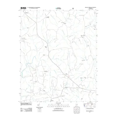 2011 Kinlock Spring2011 Print · USGSWinston County, Alabama, is shown here in the early twenty-first century as a land of crossroads communities and creek-fed valleys. Genealogists and local historians can trace family roots at Posey Mill, Winston Memorial Cemetery, and Poplar Spring Cemetery.
 - 2011 Map of Gold Mine, 2011 Print
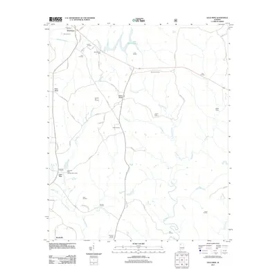 2011 Gold Mine2011 Print · USGSMarion County at the start of the 2010s reveals a rural landscape deeply rooted in its local ancestry and river geography. Genealogists can trace family sites like Old Poplar Springs Cemetery and Bethel Cemetery near settlements such as Sunny Home and Gold Mine.
 - 2014 Map of Crane Hill, 2014 Print
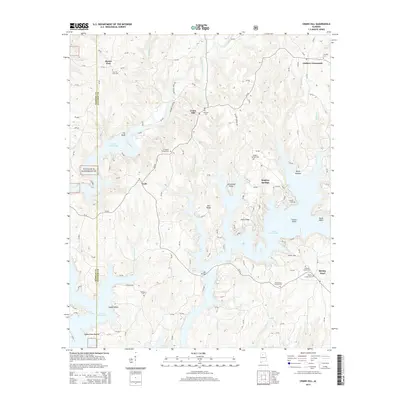 2014 Crane Hill2014 Print · USGSCullman County’s lakefront and rural uplands are shown here in the early twenty-first century as the landscape balances recreation and heritage. Genealogists can locate family sites at Mt Hope Cem, Crane Hill, and the community of Sulphur Springs.
 - 2014 Map of Upshaw, 2014 Print
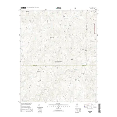 2014 Upshaw2014 Print · USGSThe Lawrence and Winston county border comes alive in this 2014 survey of the southern Bankhead National Forest. Genealogists and historians can locate numerous rural burial grounds like Asherbraner Cem and Corinth Cem near the small community of Upshaw.
Showing maps 1-25 of 69
Top cities of Winston County
- Haleyville historical maps
- Double Springs historical maps
- Lynn historical maps
- Addison historical maps
- Arley historical maps
- Natural Bridge historical maps
Frequently asked questions
- What are the different types of historical maps available for Winston County?
- What is the oldest map of Winston County?
- Where can I purchase historical maps of Winston County for my home or office?
- Where can I download high-res historical maps of Winston County?
- Are there historical topographic maps available for Winston County?
- Is there historical aerial imagery available for Winston County?
- Where are historical maps of Winston County sourced from?