Old Maps of Double Springs, Alabama for Academic Research
Study the evolution of Double Springs with 27 high-resolution historic maps. Whether you're teaching, researching, or modeling changes in land use, these maps provide essential visual documentation of urban, environmental, and geographic change.
- Analyze long-term change: Track patterns in development, transportation, and natural features.
- Ideal for environmental or urban studies: Support academic projects with primary historical map data.
- Use in the classroom or lab: Educators and researchers rely on these maps to bring historical context to life.
These maps are a powerful tool for teaching, research, and visualizing how Double Springs has changed over the decades.
Double Springs, AL maps
(27)- 1956 Map of Gadsden, 1966 Print
 1956 Gadsden1966 Print · USGSNorth Alabama in the mid-1950s shows a region transformed by river engineering and federal industry. Genealogists and local historians can trace the development of the Tennessee Valley through the growth of Huntsville, the sprawling Redstone Arsenal, and the expansive Guntersville Lake.3 unique versions available
 - 1958 Map of Gadsden
 1958 Gadsden1958 Print · USGSNorth Alabama comes alive in the late 1950s as the Tennessee Valley Authority’s massive river projects and the rise of the space industry reshaped the landscape. Researchers can trace the mid-century footprints of Huntsville, Redstone Arsenal, and the riverside rail networks of the Southern railroad.
 - 1960 Map of Gadsden
 1960 Gadsden1960 Print · USGSNorthern Alabama in the mid-1950s is defined by the mighty Tennessee River and its massive reservoirs. Trace the development of Huntsville and Redstone Arsenal or explore the vast William B Bankhead National Forest.2 unique versions available
 - 1963 Map of Gadsden
 1963 Gadsden1963 Print · USGSNorthern Alabama underwent a dramatic mid-century transformation as the Tennessee Valley became a hub for defense and industry. Researchers can trace the development of the Redstone Arsenal, the route of the Natchez Trace Parkway, and long-standing rail lines like the Southern Railway.
 - 1969 Map of Double Springs, 1972 Print
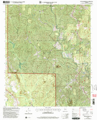
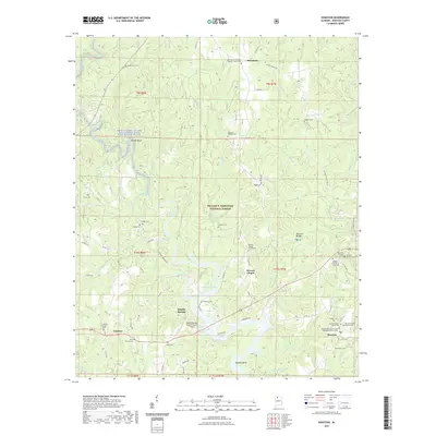
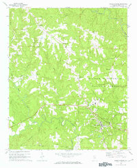 1969 Double Springs1972 Print · USGSWinston County, Alabama, is documented here in the late sixties as the county seat of Double Springs anchored a landscape of deep creek drainages and forest lands. Researchers can trace family sites and rural landmarks like the Mt Carmel Ch, Ashridge, and Cockrell-West Cem.2 unique versions available
 - 1969 Map of Houston, 1973 Print
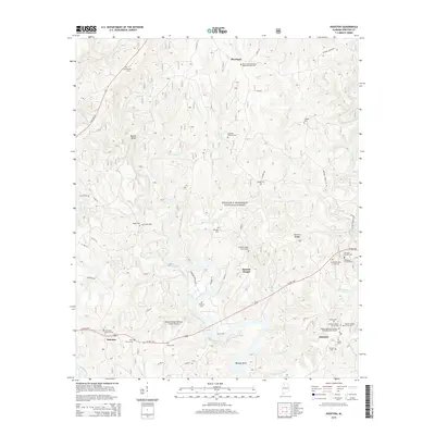
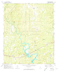 1969 Houston1973 Print · USGSIn the late sixties, this portion of Winston County shows a landscape defined by the expansive Bankhead National Forest and the rising waters of Lewis Smith Lake. Genealogists and local historians can trace family locations near Moreland, Barnett Chapel, and the settlement of Houston.2 unique versions available
 - 1969 Map of Poplar Springs, 1973 Print
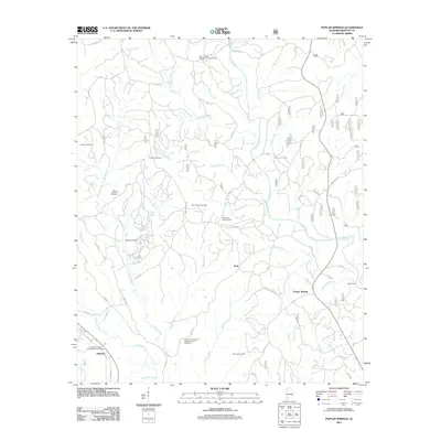
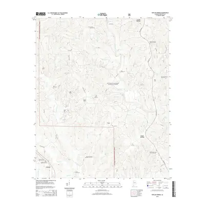
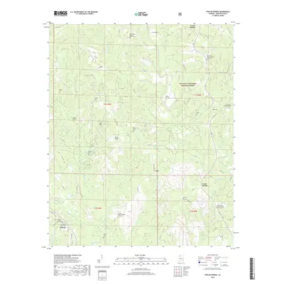
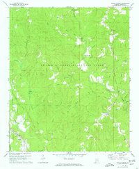 1969 Poplar Springs1973 Print · USGSWinston County, Alabama, is documented here in the late sixties as the timber and water of the national forest shaped local life. Researchers can locate several rural landmarks including Poplar Springs, Spain Ford, and the tracks of the Southern railroad.2 unique versions available
 - 1980 Map of Haleyville, 1983 Print
 1980 Haleyville1983 Print · USGSNorthwest Alabama at the start of the eighties shows a landscape of deep forests and new reservoirs as modern infrastructure settled into the hills. Researchers can trace the rail lines of the Southern and Illinois Central Gulf through towns like Haleyville, Moulton, and Natural Bridge.
 - 2000 Map of Double Springs, 2003 Print
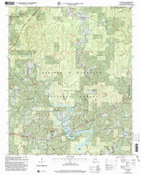
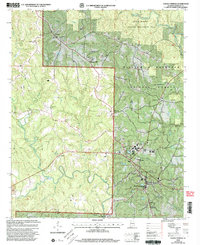 2000 Double Springs2003 Print · USGSDouble Springs and the surrounding Bankhead Forest are captured at the close of the twentieth century in this detailed survey. Researchers can trace rural lineages through sites like Cockrell-West Cem and small communities such as Ashridge and Pleasant Hill.
 - 2000 Map of Poplar Springs, 2003 Print
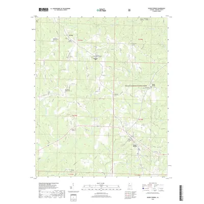
 2000 Poplar Springs2003 Print · USGSWinston County at the turn of the century shows a landscape where protected national forest meets active mining and historic rural congregations. Genealogists can locate family landmarks like Blue Springs Cem and numerous churches such as New Hope Ch and Hopewell Ch.
 - 2000 Map of Houston, 2003 Print
 2000 Houston2003 Print · USGSThe Sipsey Fork and Lewis Smith Lake define this Winston County landscape as it appeared at the turn of the millennium. Researchers can trace rural lineages through sites like Houston, Moreland, and Barnett Chapel Cem within the forest boundary.
 - 2011 Map of Poplar Springs, 2011 Print
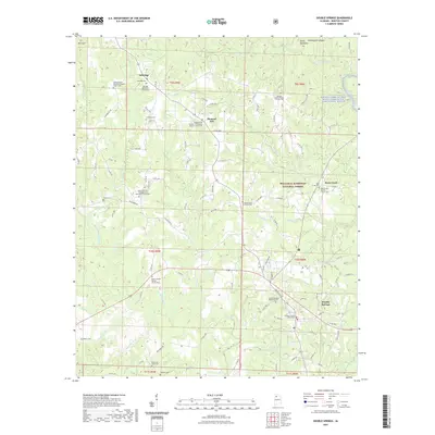
 2011 Poplar Springs2011 Print · USGSCovers Double Springs, including Ashbank, Natis, and other nearby areas
 - 2011 Map of Houston, 2011 Print
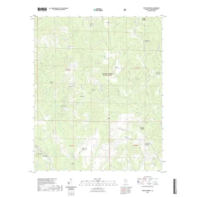
 2011 Houston2011 Print · USGSCovers Double Springs, including Fairview, Barnett Chapel, and other nearby areas
 - 2011 Map of Double Springs, 2011 Print
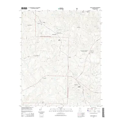
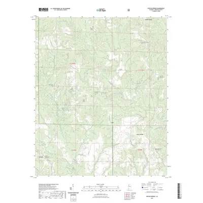
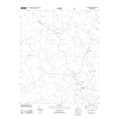 2011 Double Springs2011 Print · USGSCovers Double Springs, including Rock Creek, Ashridge, and other nearby areas
 - 2014 Map of Double Springs, 2014 Print
 2014 Double Springs2014 Print · USGSCovers Double Springs, including Rock Creek, Ashridge, and other nearby areas
 - 2014 Map of Houston, 2014 Print
 2014 Houston2014 Print · USGSCovers Double Springs, including Fairview, Barnett Chapel, and other nearby areas
 - 2014 Map of Poplar Springs, 2014 Print
 2014 Poplar Springs2014 Print · USGSCovers Double Springs, including Ashbank, Natis, and other nearby areas
 - 2018 Map of Houston, 2018 Print
 2018 Houston2018 Print · USGSCovers Double Springs, including Fairview, Barnett Chapel, and other nearby areas
 - 2018 Map of Double Springs, 2018 Print
 2018 Double Springs2018 Print · USGSCovers Double Springs, including Rock Creek, Ashridge, and other nearby areas
 - 2018 Map of Poplar Springs, 2018 Print
 2018 Poplar Springs2018 Print · USGSCovers Double Springs, including Ashbank, Natis, and other nearby areas
 - 2021 Map of Houston, 2021 Print
 2021 Houston2021 Print · USGSCovers Double Springs, including Fairview, Barnett Chapel, and other nearby areas
 - 2021 Map of Double Springs, 2021 Print
 2021 Double Springs2021 Print · USGSCovers Double Springs, including Rock Creek, Ashridge, and other nearby areas
 - 2021 Map of Poplar Springs, 2021 Print
 2021 Poplar Springs2021 Print · USGSCovers Double Springs, including Ashbank, Natis, and other nearby areas
 - 2023 Map of Poplar Springs, 2023 Print
 2023 Poplar Springs2023 Print · USGSCovers Double Springs, including Ashbank, Natis, and other nearby areas
 - 2024 Map of Double Springs, 2024 Print
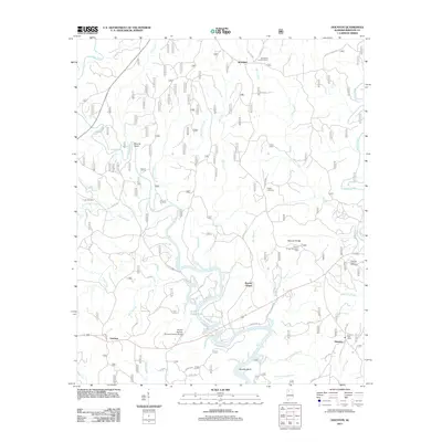
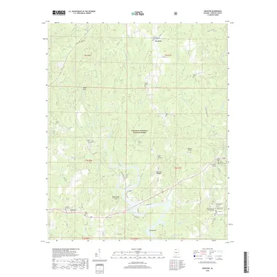
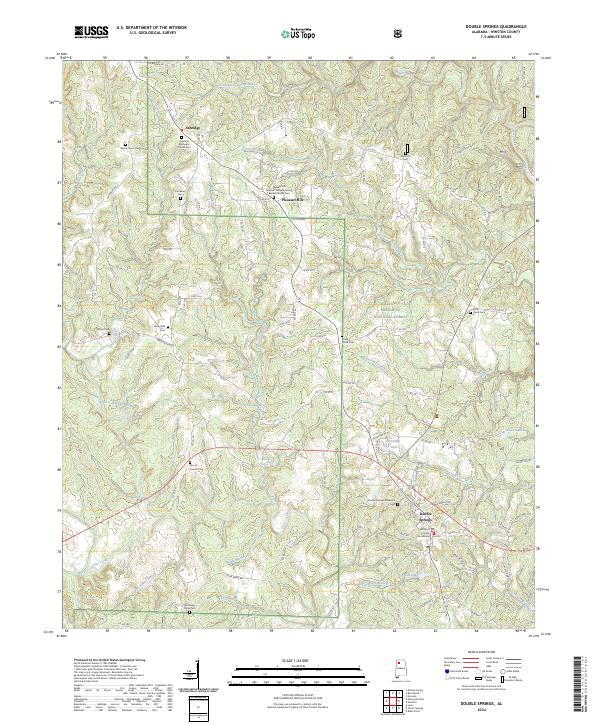 2024 Double Springs2024 Print · USGSDouble Springs and the surrounding Bankhead National Forest are documented in this modern survey of Winston County. Genealogy enthusiasts can trace burial sites and local landmarks like Ashridge Methodist Church Cem, Double Springs Memorial Cem, and the Winston County Courthouse.
Showing maps 1-25 of 27
Top cities near Double Springs
- Haleyville historical maps
- Lynn historical maps
- Addison historical maps
- Arley historical maps
- Nauvoo historical maps
Frequently asked questions
- What are the different types of historical maps available for Double Springs?
- What is the oldest map of Double Springs?
- Where can I purchase historical maps of Double Springs for my home or office?
- Where can I download high-res historical maps of Double Springs?
- Are there historical topographic maps available for Double Springs?
- Is there historical aerial imagery available for Double Springs?
- Where are historical maps of Double Springs sourced from?