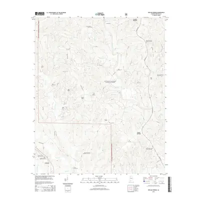
2014 Map of Poplar Springs
USGS Topo · Published 2014About this map
The William B. Bankhead National Forest defines the eastern and central reaches of this landscape, where the headwaters of numerous creeks carve through the terrain. Small settlements and crossroads like Poplar Springs, Natis, and Ashbank are connected by a network of county roads and State Hwy 195. For genealogists, the map is remarkably dense with family burial sites and rural congregations, including Barnes Cem, Kaeiser Cem, and the Ashbank Freewill Baptist Church Cem. The drainage patterns are clearly visible as Clear Creek, Wildcat Br, and Blackwater Cr flow toward the south and west. This 2014 survey documents the persistence of these rural communities, showing the locations of landmarks such as Bald Rock and the Rocky Plains Cem within the forest boundaries.
Find a feature on this map
63 named features on this map. Tap any name to fly to it.
Don’t see what you’re looking for? This feature index may not catch every label — zoom into the map to look around manually.
Map Details
Editions of this 2014 Poplar Springs Map
This is the sole edition of this map. No revisions or reprints were ever made.
Other maps of this area

1893 · Jasper
USGS Topo · 1:125,000

1936 · Delmar
USGS Topo · 1:24,000

1949 · Manchester
USGS Topo · 1:24,000

1949 · Nauvoo
USGS Topo · 1:24,000

1950 · Nauvoo
USGS Topo · 1:24,000

1950 · Manchester
USGS Topo · 1:24,000

1953 · Birmingham
USGS Topo · 1:250,000

1956 · Birmingham
USGS Topo · 1:250,000

1956 · Gadsden
USGS Topo · 1:250,000

1957 · Birmingham
USGS Topo · 1:250,000