2000s (21st Century) Maps of Double Springs, Alabama
Explore 19 historic maps of Double Springs from the 2000s (21st Century). These maps offer a rare glimpse into what life looked like during the 2000s — showing old roads, neighborhoods, homes, and landmarks that have changed or disappeared over time.
Whether you're researching your family's past, planning a metal detecting trip, or studying how Double Springs's landscape evolved across the 2000s, these high-resolution maps are a powerful tool for exploring the history of this region.
- Focus on a specific era: All maps on this page are from the 2000s, giving you a focused view of this time period.
- See what’s changed: Compare century-old streets, trails, and buildings to today's modern landscape using overlays and satellite layers.
- Research with precision: Use these maps for genealogy, historical research, land use analysis, or educational projects.
- View, download, or print: Maps are fully viewable online in high resolution, and can be downloaded or printed for your own records.
Start exploring Double Springs's history through authentic maps from the 2000s. This is your window into the past.
Double Springs, AL maps
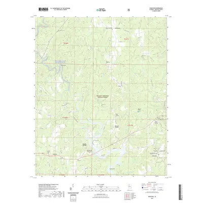
(19)- 2000 Map of Double Springs, 2003 Print
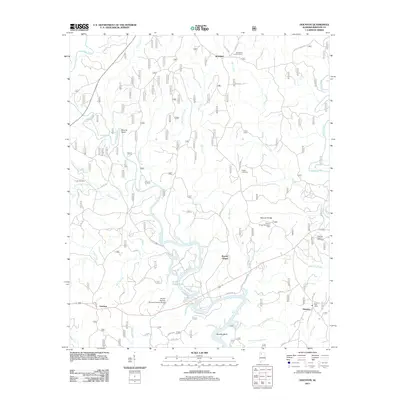
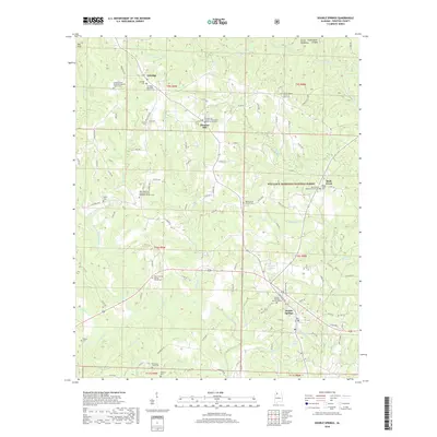
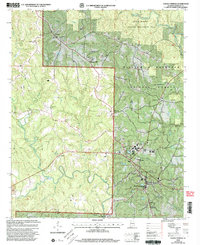 2000 Double Springs2003 Print · USGSDouble Springs and the surrounding Bankhead Forest are captured at the close of the twentieth century in this detailed survey. Researchers can trace rural lineages through sites like Cockrell-West Cem and small communities such as Ashridge and Pleasant Hill.
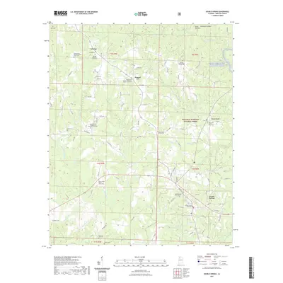
 - 2000 Map of Poplar Springs, 2003 Print
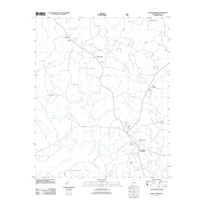
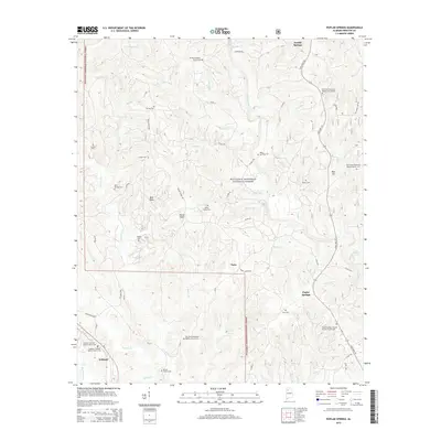
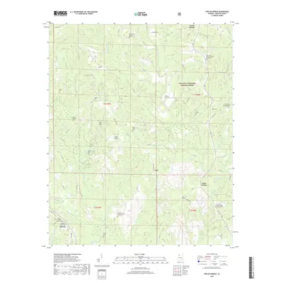
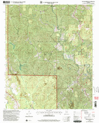 2000 Poplar Springs2003 Print · USGSWinston County at the turn of the century shows a landscape where protected national forest meets active mining and historic rural congregations. Genealogists can locate family landmarks like Blue Springs Cem and numerous churches such as New Hope Ch and Hopewell Ch.
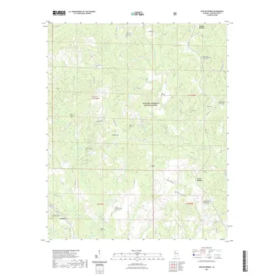
 - 2000 Map of Houston, 2003 Print
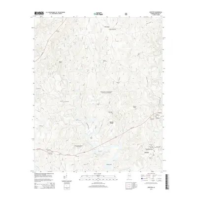
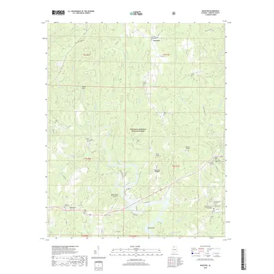
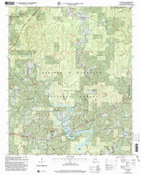 2000 Houston2003 Print · USGSThe Sipsey Fork and Lewis Smith Lake define this Winston County landscape as it appeared at the turn of the millennium. Researchers can trace rural lineages through sites like Houston, Moreland, and Barnett Chapel Cem within the forest boundary.
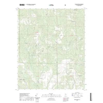
 - 2011 Map of Poplar Springs, 2011 Print
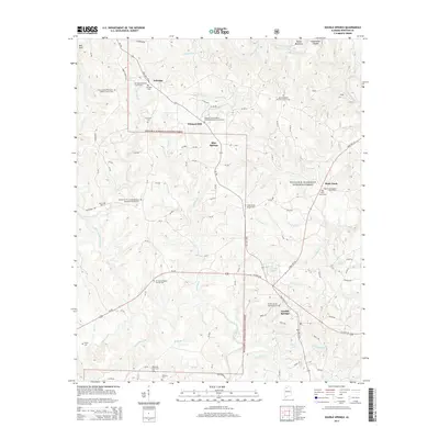
 2011 Poplar Springs2011 Print · USGSCovers Double Springs, including Ashbank, Natis, and other nearby areas
 - 2011 Map of Houston, 2011 Print
 2011 Houston2011 Print · USGSCovers Double Springs, including Fairview, Barnett Chapel, and other nearby areas
 - 2011 Map of Double Springs, 2011 Print
 2011 Double Springs2011 Print · USGSCovers Double Springs, including Rock Creek, Ashridge, and other nearby areas
 - 2014 Map of Double Springs, 2014 Print
 2014 Double Springs2014 Print · USGSCovers Double Springs, including Rock Creek, Ashridge, and other nearby areas
 - 2014 Map of Houston, 2014 Print
 2014 Houston2014 Print · USGSCovers Double Springs, including Fairview, Barnett Chapel, and other nearby areas
 - 2014 Map of Poplar Springs, 2014 Print
 2014 Poplar Springs2014 Print · USGSCovers Double Springs, including Ashbank, Natis, and other nearby areas
 - 2018 Map of Houston, 2018 Print
 2018 Houston2018 Print · USGSCovers Double Springs, including Fairview, Barnett Chapel, and other nearby areas
 - 2018 Map of Double Springs, 2018 Print
 2018 Double Springs2018 Print · USGSCovers Double Springs, including Rock Creek, Ashridge, and other nearby areas
 - 2018 Map of Poplar Springs, 2018 Print
 2018 Poplar Springs2018 Print · USGSCovers Double Springs, including Ashbank, Natis, and other nearby areas
 - 2021 Map of Houston, 2021 Print
 2021 Houston2021 Print · USGSCovers Double Springs, including Fairview, Barnett Chapel, and other nearby areas
 - 2021 Map of Double Springs, 2021 Print
 2021 Double Springs2021 Print · USGSCovers Double Springs, including Rock Creek, Ashridge, and other nearby areas
 - 2021 Map of Poplar Springs, 2021 Print
 2021 Poplar Springs2021 Print · USGSCovers Double Springs, including Ashbank, Natis, and other nearby areas
 - 2023 Map of Poplar Springs, 2023 Print
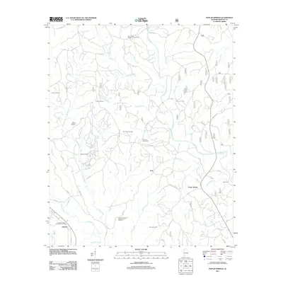
 2023 Poplar Springs2023 Print · USGSCovers Double Springs, including Ashbank, Natis, and other nearby areas
 - 2024 Map of Double Springs, 2024 Print
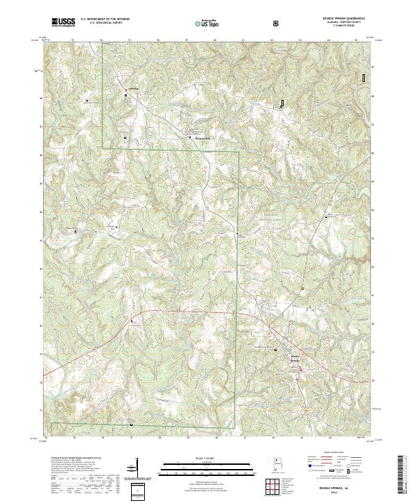 2024 Double Springs2024 Print · USGSDouble Springs and the surrounding Bankhead National Forest are documented in this modern survey of Winston County. Genealogy enthusiasts can trace burial sites and local landmarks like Ashridge Methodist Church Cem, Double Springs Memorial Cem, and the Winston County Courthouse.
 - 2024 Map of Houston, 2024 Print
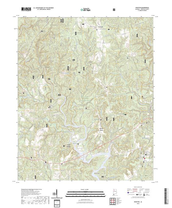 2024 Houston2024 Print · USGSWinston County, Alabama, is documented here in the modern era, showing the intersection of public lands and deep-rooted local settlements. Genealogists and researchers can trace family landmarks and rural congregations like the Burdick Family Cemetery and Barnett Chapel.
 - 2024 Map of Poplar Springs, 2024 Print
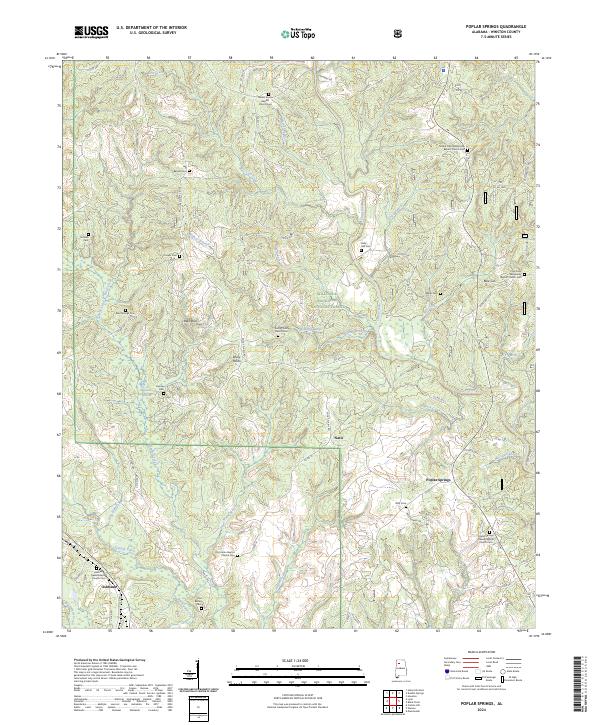 2024 Poplar Springs2024 Print · USGSWinston County's rural communities and Baptist churchyards are meticulously documented here in the modern era. Researchers can locate numerous family burial sites and rural centers including Rocky Plains, Ashbank, and Poplar Springs Freewill Baptist Church Cem.
End of results
Showing maps 1-19 of 19
Top cities near Double Springs
- Haleyville historical maps
- Lynn historical maps
- Addison historical maps
- Arley historical maps
- Nauvoo historical maps
Frequently asked questions
- What are the different types of historical maps available for Double Springs?
- What is the oldest map of Double Springs?
- Where can I purchase historical maps of Double Springs for my home or office?
- Where can I download high-res historical maps of Double Springs?
- Are there historical topographic maps available for Double Springs?
- Is there historical aerial imagery available for Double Springs?
- Where are historical maps of Double Springs sourced from?