Old Maps of Happy Valley, Alaska for Hiking & Exploration
Hike through history with 8 historic maps of Happy Valley. Explore old trails, ghost towns, and forgotten backroads — perfect for outdoor adventurers and local explorers.
- Rediscover forgotten places: Map out old mining camps, roads, and footpaths that no longer exist on modern maps.
- Layer with modern tools: Combine with LiDAR or satellite views to plan hikes through historical terrain.
- Made for exploration: Popular among hikers, overlanders, and local history lovers.
Use these maps to find adventure and explore the hidden past of Happy Valley.
Happy Valley, AK maps
(8)- 1946 Map of Seldovia D-5, 1958 Print
 1946 Seldovia D-51958 Print · USGSThe Kenai Peninsula coastline comes into focus just after the war as the modern road network begins to take shape. Researchers can trace the early layout of Anchor Point and identify coastal landmarks like Cape Starichkof and the Sterling Highway.
 - 1951 Map of Seldovia D-5
 1951 Seldovia D-51951 Print · USGSThe Kenai Peninsula coastline during the early fifties shows a burgeoning frontier landscape connected by the new Sterling Highway. Researchers can trace the layout of Anchor Point, the local Airstrip, and several major salmon streams like Deep Creek and the Stariski River.
 - 1951 Map of Seldovia, 1952 Print
 1951 Seldovia1952 Print · USGSThe lower Kenai Peninsula appears here in the early fifties as a network of coastal outposts and maritime landing sites. Researchers can trace early settlements like Seldovia, locate family-named points such as Millers Landing, and explore the limits of the Kenai National Moose Range.8 unique versions available
 - 1961 Map of Seldovia D-5, 1962 Print
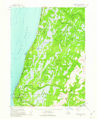 1961 Seldovia D-51962 Print · USGSThe Kenai Peninsula coastline comes into focus in the early sixties as new roads and settlements began to define the region. You can trace early coastal developments like Whiskey Gulch, the Airstrip at Anchor Point, and the path of the Sterling Highway.2 unique versions available
 - 1963 Map of Seldovia, 1967 Print
 1963 Seldovia1967 Print · USGSThe lower Kenai Peninsula in the 1960s reveals a rugged coastal frontier where the highway finally meets the sea at Homer. Researchers can trace old settlements and family sites at Happy Valley, Stariski, and the Indian Village near Seldovia.5 unique versions available
 - 1987 Map of Seldovia D-5 NW
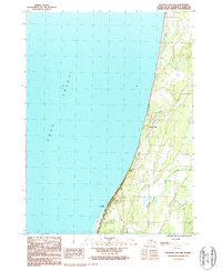 1987 Seldovia D-5 NW1987 Print · USGSThe Kenai Peninsula coastline near Happy Valley is documented here in the late 1980s as the area balanced local industry with its coastal environment. Researchers can locate the Rodeo Ground, the landmark radio tower, and seasonal routes like the Winter Trail.
 - 2018 Map of Seldovia D-5 NW, 2018 Print
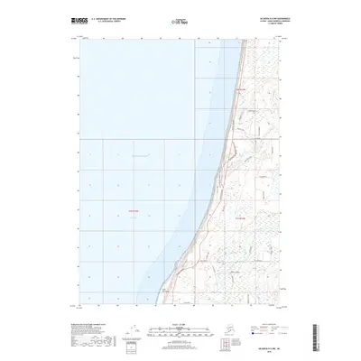 2018 Seldovia D-5 NW2018 Print · USGSThe eastern shore of the Cook Inlet comes into focus in this late twenty-first-century survey of the Kenai Peninsula coastline. Genealogists and local historians can trace the network of local homesteads and roads like Fishhook Road and St John Road near Cape Starichkof.
 - 2024 Map of Seldovia D-5 NW, 2024 Print
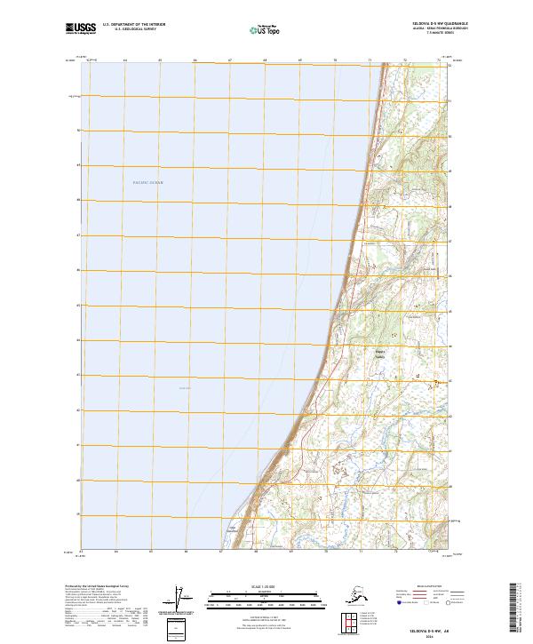 2024 Seldovia D-5 NW2024 Print · USGSCoastal Kenai Peninsula settlement comes into focus in this contemporary survey of the western shoreline. Researchers can trace local development around Happy Valley and Cape Starichkof, from the aviation strip at Lowell Field to the historic route of the Old Sterling Highway.
End of results
Showing maps 1-8 of 8
Top cities near Happy Valley
Frequently asked questions
- What are the different types of historical maps available for Happy Valley?
- What is the oldest map of Happy Valley?
- Where can I purchase historical maps of Happy Valley for my home or office?
- Where can I download high-res historical maps of Happy Valley?
- Are there historical topographic maps available for Happy Valley?
- Is there historical aerial imagery available for Happy Valley?
- Where are historical maps of Happy Valley sourced from?