
1951 Map of Seldovia
USGS Topo · Published 1952About this map
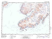
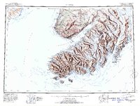
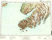
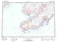
Kachemak Bay and the lower Kenai Peninsula are presented here in a reconnaissance survey that highlights the mid-century coastal settlements of Seldovia, Anchor Pt, and Millers Landing. The landscape is dominated by the intersection of glacial systems and the sea, with extensive drainages like the Ninilchik River and Deep Creek flowing from the Caribou Hills into Cook Inlet. The map documents the early boundaries of the Kenai National Moose Range and the administrative extent of the Third Judicial Division. Maritime geography is particularly detailed, showing numerous islands such as Elizabeth Island and Ragged Island at the mouth of the Gulf of Alaska. The placement of Happy Valley and the coastal landing sites reflects a period of development focused on resource access and maritime transport before the expansion of the modern highway system in the region.
Find a feature on this map
36 named features on this map. Tap any name to fly to it.
Don’t see what you’re looking for? This feature index may not catch every label — zoom into the map to look around manually.
Map Details
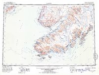
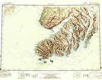
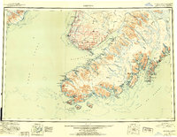
Editions of this 1951 Seldovia Map
8 editions found
Other maps of this area

1944 · Kenai
USGS Topo · 1:250,000

1946 · Blying Sound
USGS Topo · 1:250,000

1946 · Lake Clark
USGS Topo · 1:250,000

1946 · Seldovia C-5
USGS Topo · 1:63,360

1946 · Seldovia D-5
USGS Topo · 1:63,360

1948 · Seldovia C-4
USGS Topo · 1:63,360

1949 · Iliamna C-1
USGS Topo · 1:63,360

1949 · Seldovia C-4
USGS Topo · 1:62,500

1949 · Seldovia D-4
USGS Topo · 1:63,360

1950 · Kenai
USGS Topo · 1:250,000