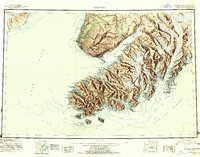
1951 Map of Seldovia
USGS Topo · Published 1954About this map
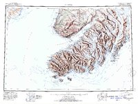
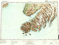
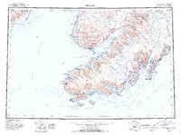
Kachemak Bay and the surrounding Kenai Peninsula shoreline are captured in this early 1950s reconnaissance, showing a landscape defined by massive ice fields and isolated maritime settlements. The township of Seldovia sits as a primary hub near the mouth of the bay, while other coastal outposts like English Bay and Port Graham mark the entrance to Cook Inlet. The map details a transition from the low-lying terrain of the Caribou Hills in the northwest to the ice-clogged mountains of the south, where the Grewingk Glacier and Dixon Glacier descend toward the sea. Evidence of early resource extraction is visible at the Coal Mine near Millers Landing, and much of the interior is dedicated to the Kenai National Moose Range. This survey documents the region's geography before significant modern expansion, highlighting the dependence on coastal access for commerce and travel.
Find a feature on this map
97 named features on this map. Tap any name to fly to it.
Don’t see what you’re looking for? This feature index may not catch every label — zoom into the map to look around manually.
Map Details
Editions of this 1951 Seldovia Map
8 editions found

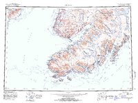
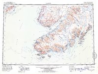
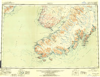
Other maps of this area

1944 · Kenai
USGS Topo · 1:250,000

1946 · Blying Sound
USGS Topo · 1:250,000

1946 · Lake Clark
USGS Topo · 1:250,000

1946 · Seldovia C-5
USGS Topo · 1:63,360

1946 · Seldovia D-5
USGS Topo · 1:63,360

1948 · Seldovia C-4
USGS Topo · 1:63,360

1949 · Iliamna C-1
USGS Topo · 1:63,360

1949 · Seldovia C-4
USGS Topo · 1:62,500

1949 · Seldovia D-4
USGS Topo · 1:63,360

1950 · Kenai
USGS Topo · 1:250,000