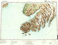
1951 Map of Seldovia
USGS Topo · Published 1957About this map
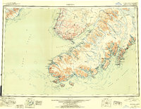
Kachemak Bay and the southern reaches of the Kenai Peninsula are captured here during a period of postwar development in the early 1950s. The settlement at Homer serves as a focal point, showing the newly established Homer Airport and the strategic Coal Pt spit extending into the bay. Nearby, the Sterling Hwy provides the primary overland connection through the northern portion of this survey, linking coastal communities like Anchor Point and Happy Valley.
Find a feature on this map
166 named features on this map. Tap any name to fly to it.
Don’t see what you’re looking for? This feature index may not catch every label — zoom into the map to look around manually.
Map Details
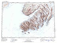
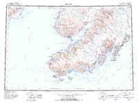
Editions of this 1951 Seldovia Map
8 editions found

Other maps of this area

1944 · Kenai
USGS Topo · 1:250,000

1946 · Blying Sound
USGS Topo · 1:250,000

1946 · Lake Clark
USGS Topo · 1:250,000

1946 · Seldovia C-5
USGS Topo · 1:63,360

1946 · Seldovia D-5
USGS Topo · 1:63,360

1948 · Seldovia C-4
USGS Topo · 1:63,360

1949 · Iliamna C-1
USGS Topo · 1:63,360

1949 · Seldovia C-4
USGS Topo · 1:62,500

1949 · Seldovia D-4
USGS Topo · 1:63,360

1950 · Kenai
USGS Topo · 1:250,000