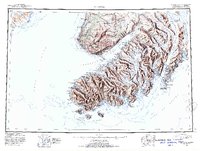
1951 Map of Seldovia
USGS Topo · Published 1954About this map
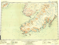
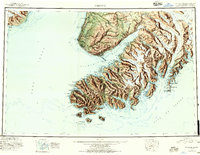
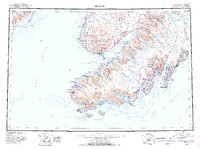
The Kenai Peninsula shoreline and its deep glacial inlets define this 1951 reconnaissance of the Third Judicial Division. The coastal settlement of Seldovia serves as a primary hub on the southern tip, while northern outposts like Happy Valley and Anchor Pt line the coast of Cook Inlet. The map illustrates a transitional period in the Alaskan wilderness, where the boundaries of the Kenai National Moose Range meet the massive ice fields of the Grewingk Glacier, Dinglestadt Glacier, and McCarty Glacier. This era was characterized by isolated coastal landings and a landscape dominated by the high peaks of Bald Mtn and the Caribou Hills. The detailed maritime survey captures the complex geometry of Kachemak Bay and the numerous islands of the Chugach Islands, providing a clear record of the region's topography before more modern development reached these remote bays.
Find a feature on this map
43 named features on this map. Tap any name to fly to it.
Don’t see what you’re looking for? This feature index may not catch every label — zoom into the map to look around manually.
Map Details
Editions of this 1951 Seldovia Map
8 editions found

Other maps of this area

1944 · Kenai
USGS Topo · 1:250,000

1946 · Blying Sound
USGS Topo · 1:250,000

1946 · Lake Clark
USGS Topo · 1:250,000

1946 · Seldovia C-5
USGS Topo · 1:63,360

1946 · Seldovia D-5
USGS Topo · 1:63,360

1948 · Seldovia C-4
USGS Topo · 1:63,360

1949 · Iliamna C-1
USGS Topo · 1:63,360

1949 · Seldovia C-4
USGS Topo · 1:62,500

1949 · Seldovia D-4
USGS Topo · 1:63,360

1950 · Kenai
USGS Topo · 1:250,000