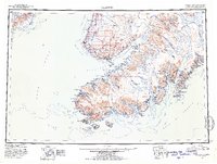
1951 Map of Seldovia
USGS Topo · Published 1954About this map
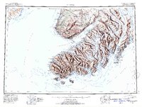
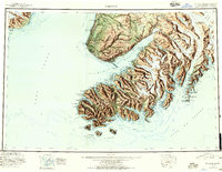
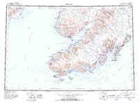
Kachemak Bay and the surrounding Kenai Peninsula settlements are captured here during a period of postwar expansion and resource mapping. The transition from maritime reliance to terrestrial transport is visible with the presence of the Sterling Highway, which connects northern communities like Happy Valley and Anchor Pt to the growing hub at Homer. South across the water, the maritime culture of Seldovia and the historic settlement of Alexandrovsk contrast with the industrial footprint of a Coal Mine near Coal Pt. The map provides detailed coastal data for Cook Inlet and the Gulf Of Alaska, documenting an era when traditional locations like Indian Village and Port Graham existed alongside new aviation infrastructure like the Homer Airport.
Find a feature on this map
121 named features on this map. Tap any name to fly to it.
Don’t see what you’re looking for? This feature index may not catch every label — zoom into the map to look around manually.
Map Details
Editions of this 1951 Seldovia Map
8 editions found

Other maps of this area

1944 · Kenai
USGS Topo · 1:250,000

1946 · Blying Sound
USGS Topo · 1:250,000

1946 · Lake Clark
USGS Topo · 1:250,000

1946 · Seldovia C-5
USGS Topo · 1:63,360

1946 · Seldovia D-5
USGS Topo · 1:63,360

1948 · Seldovia C-4
USGS Topo · 1:63,360

1949 · Iliamna C-1
USGS Topo · 1:63,360

1949 · Seldovia C-4
USGS Topo · 1:62,500

1949 · Seldovia D-4
USGS Topo · 1:63,360

1950 · Kenai
USGS Topo · 1:250,000