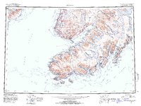
1951 Map of Seldovia
USGS Topo · Published 1952About this map
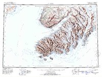
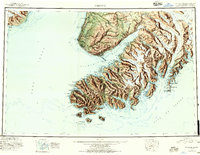
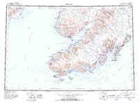
Kenai Peninsula geography is defined here by the meeting of massive ice fields and the waters of Cook Inlet. This 1951 provisional compilation illustrates a pre-statehood era where coastal settlements like Seldovia and Homer served as the primary hubs for a region largely dominated by the Kenai National Moose Range. The map reveals the intricate shoreline of Kachemak Bay, dotted with smaller landings and historical sites including Millers Landing and Alexandrovsk.
Find a feature on this map
62 named features on this map. Tap any name to fly to it.
Don’t see what you’re looking for? This feature index may not catch every label — zoom into the map to look around manually.
Map Details
Editions of this 1951 Seldovia Map
8 editions found

Other maps of this area

1944 · Kenai
USGS Topo · 1:250,000

1946 · Blying Sound
USGS Topo · 1:250,000

1946 · Lake Clark
USGS Topo · 1:250,000

1946 · Seldovia C-5
USGS Topo · 1:63,360

1946 · Seldovia D-5
USGS Topo · 1:63,360

1948 · Seldovia C-4
USGS Topo · 1:63,360

1949 · Iliamna C-1
USGS Topo · 1:63,360

1949 · Seldovia C-4
USGS Topo · 1:62,500

1949 · Seldovia D-4
USGS Topo · 1:63,360

1950 · Kenai
USGS Topo · 1:250,000