2020s Maps of Yakutat, Alaska
Explore 69 historic maps of Yakutat from the 2020s. These maps offer a rare glimpse into what life looked like during the 2020s — showing old roads, neighborhoods, homes, and landmarks that have changed or disappeared over time.
Whether you're researching your family's past, planning a metal detecting trip, or studying how Yakutat's landscape evolved across the 2020s, these high-resolution maps are a powerful tool for exploring the history of this region.
- Focus on a specific era: All maps on this page are from the 2020s, giving you a focused view of this time period.
- See what’s changed: Compare century-old streets, trails, and buildings to today's modern landscape using overlays and satellite layers.
- Research with precision: Use these maps for genealogy, historical research, land use analysis, or educational projects.
- View, download, or print: Maps are fully viewable online in high resolution, and can be downloaded or printed for your own records.
Start exploring Yakutat's history through authentic maps from the 2020s. This is your window into the past.
Yakutat, AK maps
(69)- 2021 Map of Yakutat B-1 SW, 2021 Print
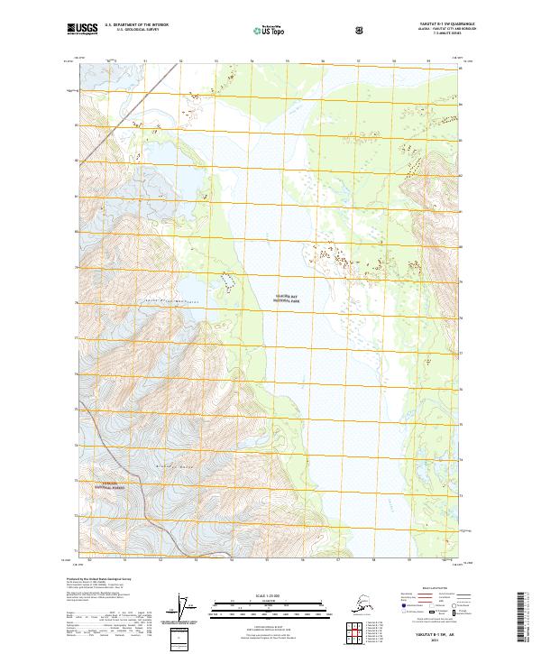 2021 Yakutat B-1 SW2021 Print · USGSThe Alsek River valley and the surrounding high peaks of the Saint Elias Mountains are shown here in the early twenty-first century. Researchers can trace the massive ice flows of Canyon Glacier and the intersections of Glacier Bay National Park and the Tongass National Forest.
 - 2021 Map of Yakutat C-2 SW, 2021 Print
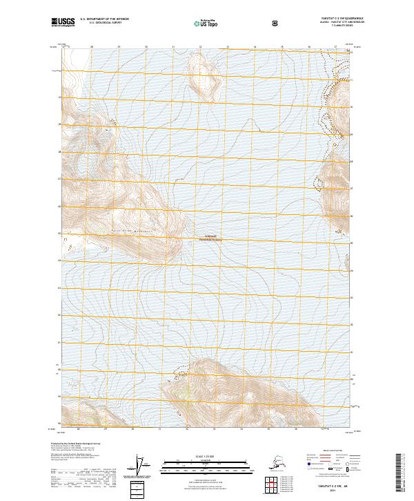 2021 Yakutat C-2 SW2021 Print · USGSCoastal wilderness and glacial peaks define this region of the Alaska Panhandle as it was documented in 2021. Researchers can trace the rugged topography of the Saint Elias Mountains and the remote Brabazon Range within the Tongass National Forest.
 - 2021 Map of Yakutat C-1 SW, 2021 Print
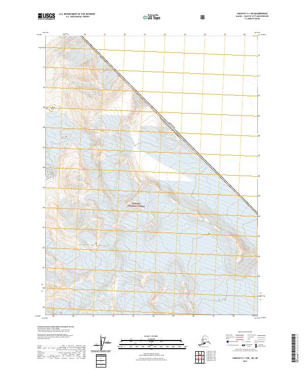 2021 Yakutat C-1 SW2021 Print · USGSThe high-altitude icefields of the Saint Elias Mountains are documented here in the early twenty-first century. Researchers can trace the massive footprints of Battle Glacier and Novatak Glacier along the United States-Canada border.
 - 2021 Map of Yakutat C-3 NE, 2021 Print
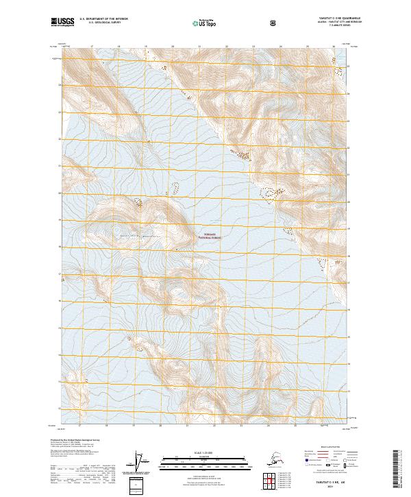 2021 Yakutat C-3 NE2021 Print · USGSThe high peaks of the Saint Elias Mountains dominate this 2021 survey of the Alaskan wilderness. Map collectors and glaciologists can trace the precise flow and contours of the East Nunatak Glacier and West Nunatak Glacier within the Tongass National Forest.
 - 2021 Map of Yakutat B-3 SE, 2021 Print
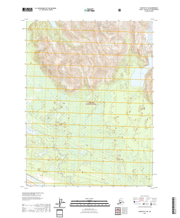 2021 Yakutat B-3 SE2021 Print · USGSThe coastal wilderness of Southeast Alaska is documented here in the early twenty-first century. Researchers can trace the glacial drainage of the Akwe River as it flows from the Brabazon Range through the Tongass National Forest.
 - 2021 Map of Yakutat A-1 NW, 2021 Print
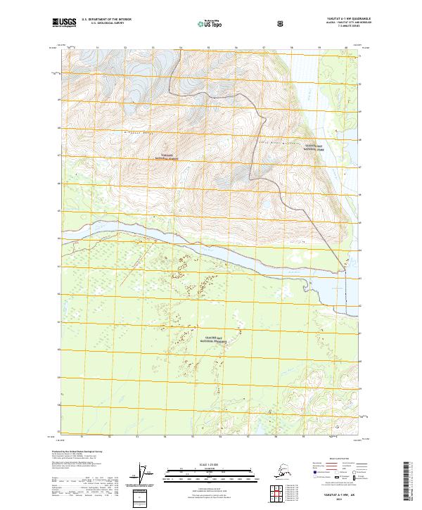 2021 Yakutat A-1 NW2021 Print · USGSThe Alsek River delta and the surrounding coastal mountains define this corner of Alaska in the early twenty-first century. Researchers can trace the braided paths of Alsek River and Doame River or locate historic routes like Alsek North Trl.
 - 2021 Map of Yakutat B-1 NE, 2021 Print
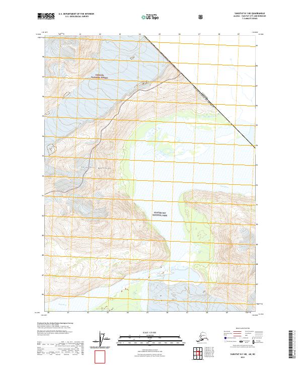 2021 Yakutat B-1 NE2021 Print · USGSThe Alsek River valley and the international boundary with Canada are captured in this recent survey of the Alaskan wilderness. Researchers can trace the rugged transition between Tongass National Forest and Glacier Bay National Park along the Saint Elias Mountains.
 - 2021 Map of Yakutat C-2 NE, 2021 Print
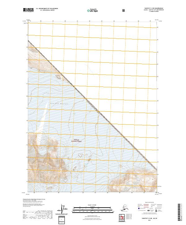 2021 Yakutat C-2 NE2021 Print · USGSThe international boundary between Alaska and British Columbia is traced through the heart of the Saint Elias Mountains in this recent survey. Researchers can study the glacial geography of Novarak Glacier and the remote limits of the Tongass National Forest.
 - 2021 Map of Yakutat C-2 NW, 2021 Print
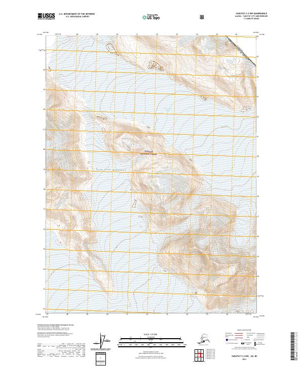 2021 Yakutat C-2 NW2021 Print · USGSThe northern reaches of the Tongass National Forest meet the international border in the early twenty-first century. Researchers can trace the massive East Nunatak Glacier as it carves through the high Saint Elias Mountains.
 - 2021 Map of Yakutat A-3 NE, 2021 Print
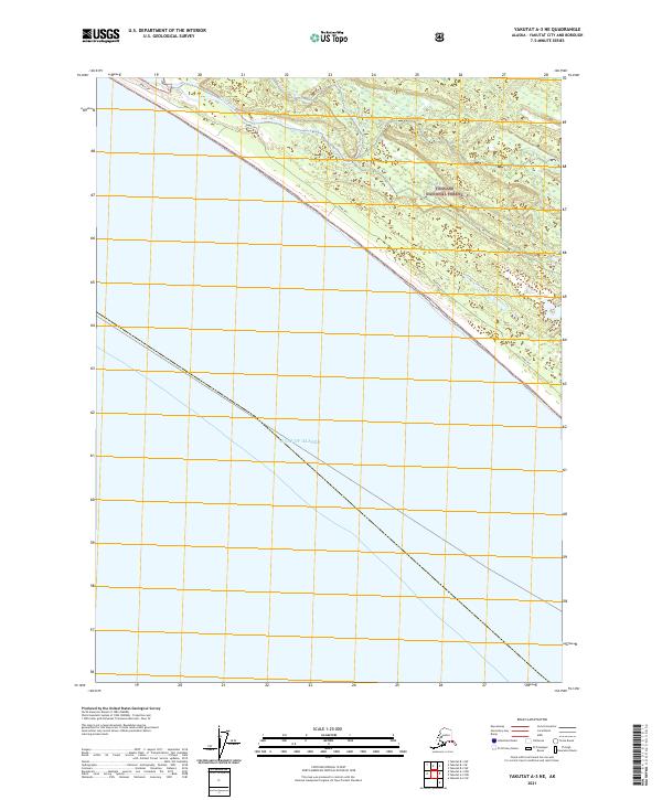 2021 Yakutat A-3 NE2021 Print · USGSYakutat's coastal wilderness comes into focus in this recent survey of the Gulf shoreline and the Tongass National Forest. Researchers can trace the shifting course of the Akwe River behind the protective barrier of Akwe Spit.
 - 2021 Map of Yakutat B-3 SW, 2021 Print
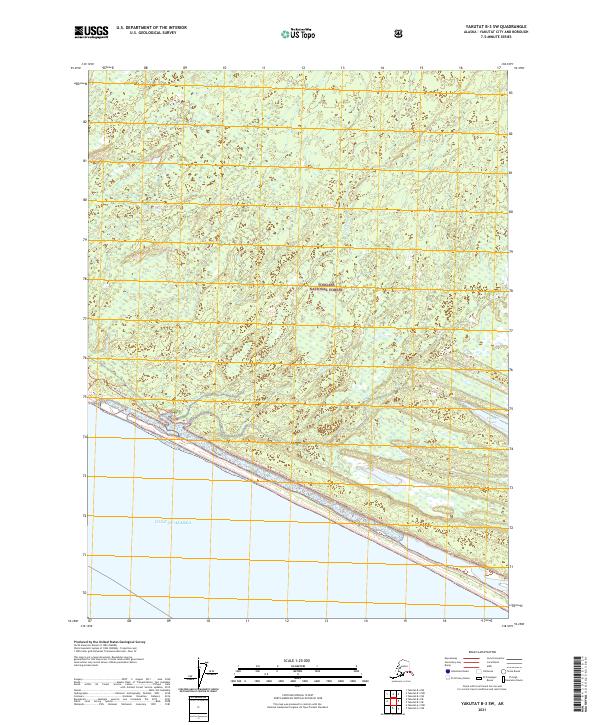 2021 Yakutat B-3 SW2021 Print · USGSThe northern reaches of the Gulf of Alaska meet the dense woods of the Tongass National Forest in this 2021 topographic study. Trace the path of the Italio River and the narrow barrier of the Akwe Spit along this remote shoreline.
 - 2021 Map of Yakutat B-2 SE, 2021 Print
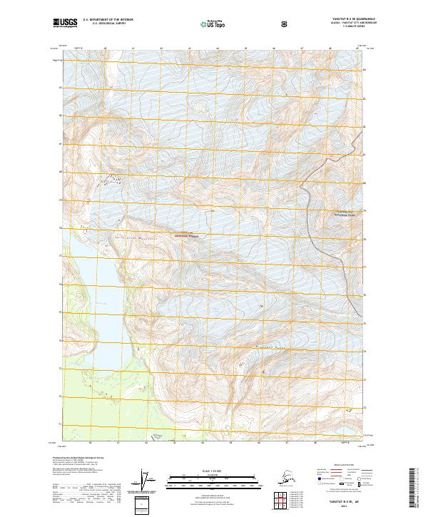 2021 Yakutat B-2 SE2021 Print · USGSCoastal Alaska's dramatic glacial landscape is captured here in the early twenty-first century, where ice fields and alpine ranges meet. Researchers can trace the vast reach of the Novatak Glacier and the remote Tanis Mesa Airport near Tanis Lake.
 - 2021 Map of Yakutat B-2 NW, 2021 Print
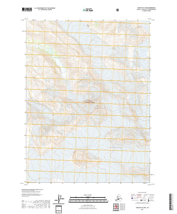 2021 Yakutat B-2 NW2021 Print · USGSCoastal Alaska's dramatic ice-fields and mountain peaks are documented here in the early twenty-first century. Researchers can trace the path of the Dangerous River and examine the current extent of the Chamberlain Glacier near Mt Redburn.
 - 2021 Map of Yakutat B-2 SW, 2021 Print
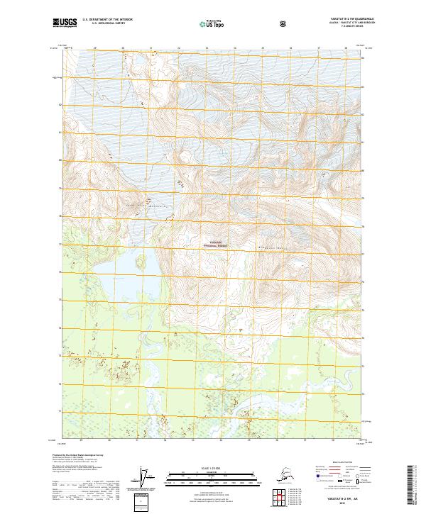 2021 Yakutat B-2 SW2021 Print · USGSThe remote Alaskan wilderness near Yakutat is documented here in the early twenty-first century as glacial waters transition to the sea. Modern researchers can trace the movement of the Chamberlain Glacier and the drainage of Ustay Lake and the Tanis River.
 - 2021 Map of Yakutat C-1 SE, 2021 Print
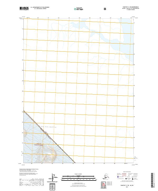 2021 Yakutat C-1 SE2021 Print · USGSThe international border between Alaska and Canada cuts through the high peaks of the Saint Elias Mountains in this recent survey. Researchers can trace the boundary line as it crosses the Tongass National Forest across a landscape shaped by ice and elevation.
 - 2021 Map of Yakutat B-3 NE, 2021 Print
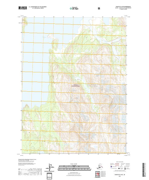 2021 Yakutat B-3 NE2021 Print · USGSThe Brabazon Range and the Saint Elias Mountains dominate this recent survey of the Yakutat wilderness. Researchers can trace the massive drainage systems of Harlequin Lake and the Dangerous River through the Tongass National Forest.
 - 2021 Map of Yakutat A-2 NE, 2021 Print
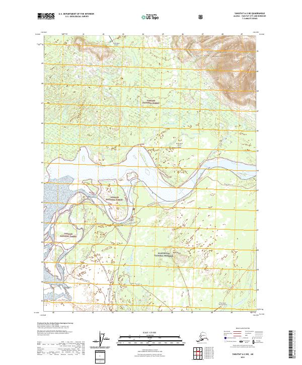 2021 Yakutat A-2 NE2021 Print · USGSThe Alsek River delta in the early twenty-first century is a wild convergence of protected federal lands and braided waterways. Researchers and explorers can trace an intricate network of wilderness routes like Alsek North Trl and Mcspaden Trl between remote outposts like Dry Bay Airport.
 - 2021 Map of Yakutat C-1 NW, 2021 Print
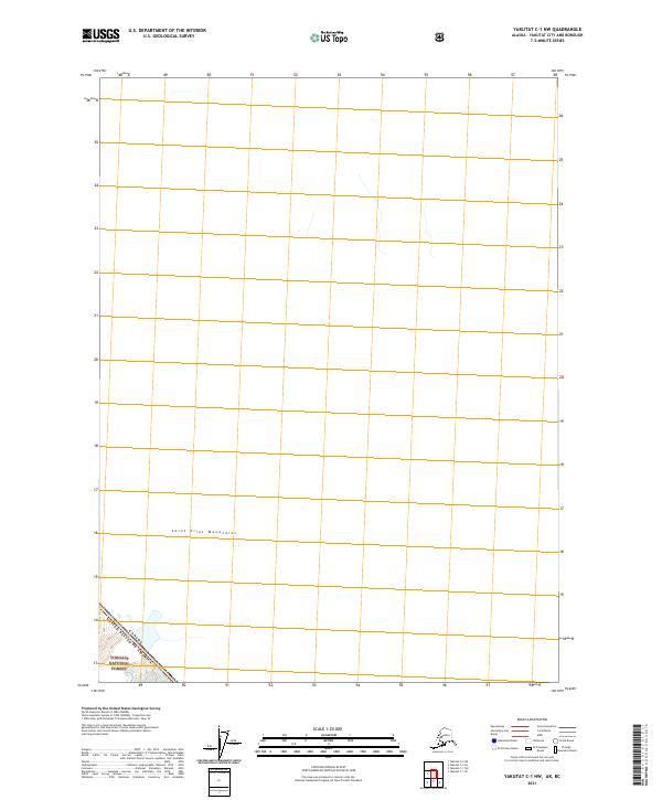 2021 Yakutat C-1 NW2021 Print · USGSThe high wilderness of the Alaskan Panhandle is documented in this 2021 survey of the international border. Map collectors and researchers can trace the boundary between Canada and the United States as it passes through the Saint Elias Mountains and the Tongass National Forest.
 - 2021 Map of Yakutat B-2 NE, 2021 Print
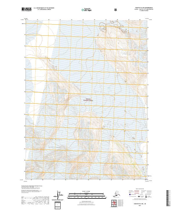 2021 Yakutat B-2 NE2021 Print · USGSThe Saint Elias Mountains and the Brabazon Range define this glaciated Alaskan landscape as it appeared in the early twenty-first century. Researchers can trace the extent of the Novatna Glacier, Fassett Glacier, and Chamberlin Glacier within the Tongass National Forest.
 - 2021 Map of Skagway A-8 SW, 2021 Print
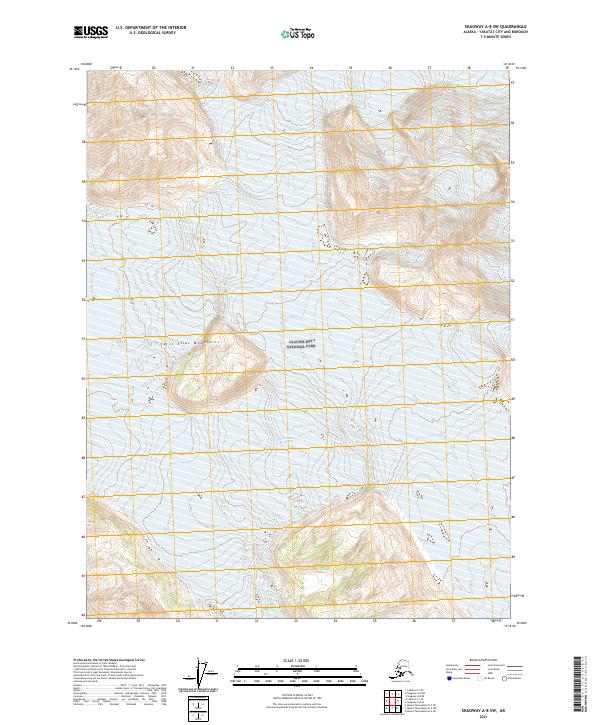 2021 Skagway A-8 SW2021 Print · USGSWithin the boundaries of Glacier Bay National Park in the 2020s, this area showcases a landscape dominated by ice and elevation. Researchers can trace the expansive Grand Plateau Glacier as it descends through the Saint Elias Mountains.
 - 2021 Map of Skagway A-8 SE, 2021 Print
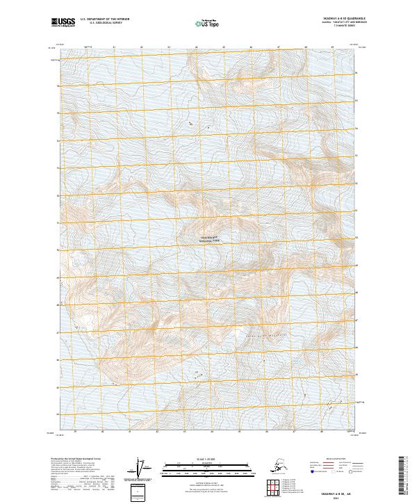 2021 Skagway A-8 SE2021 Print · USGSCoastal Alaska within the Saint Elias Mountains is documented here as it appeared in the early 2020s. Genealogists and researchers can trace the expansive reach of the Grand Plateau Glacier across Glacier Bay National Park.
 - 2021 Map of Skagway B-8 SE, 2021 Print
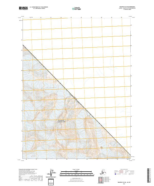 2021 Skagway B-8 SE2021 Print · USGSSpanning the international border in the early twenty-first century, this map documents the frozen heights of the Saint Elias Mountains. Researchers can trace the protected wilderness of Glacier Bay National Park and the precise line of the Canada United States of America border.
 - 2021 Map of Skagway A-7 NW, 2021 Print
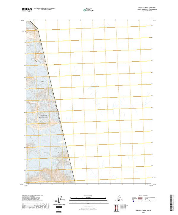 2021 Skagway A-7 NW2021 Print · USGSThe international border and the high peaks of the Saint Elias Mountains are documented here in the early twenty-first century. Researchers can trace the massive Grand Plateau Glacier and the towering heights of Mt Hay within the protected bounds of Glacier Bay National Park.
 - 2021 Map of Skagway A-7 SW, 2021 Print
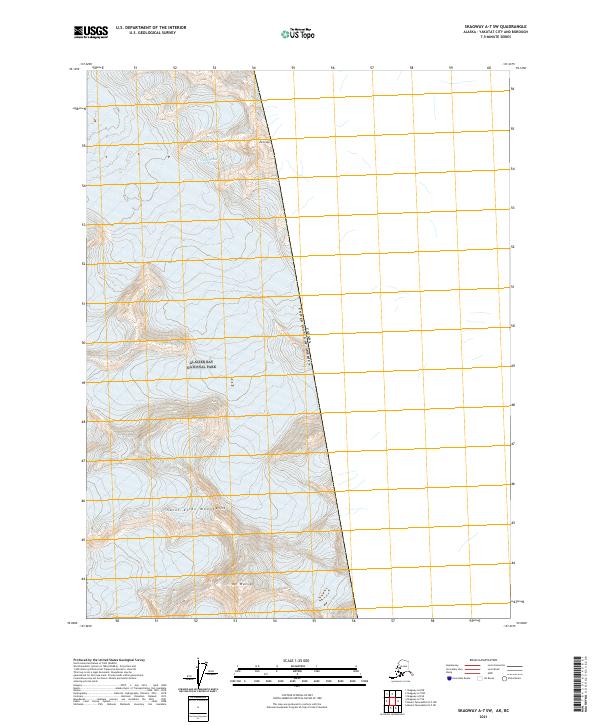 2021 Skagway A-7 SW2021 Print · USGSThe high peaks of the Saint Elias Mountains meet the international boundary at the start of the 2020s. Researchers and mountaineers can trace the glaciated terrain surrounding Mt Watson, Mt Lodge, and Glacier Bay National Park.
 - 2021 Map of Skagway B-8 OE E SW, 2021 Print
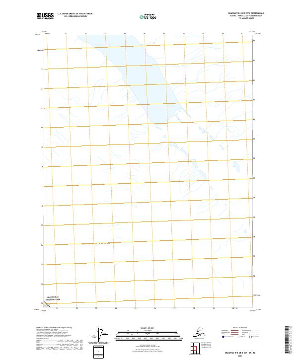 2021 Skagway B-8 OE E SW2021 Print · USGSThe high reaches of the Saint Elias Mountains are captured in this recent survey of the Alaska-Yukon borderland. Researchers can trace the international boundary at Canada USA as it crosses the northern reaches of Glacier Bay National Park.
Showing maps 1-25 of 69
Top cities of Yakutat
Frequently asked questions
- What are the different types of historical maps available for Yakutat?
- What is the oldest map of Yakutat?
- Where can I purchase historical maps of Yakutat for my home or office?
- Where can I download high-res historical maps of Yakutat?
- Are there historical topographic maps available for Yakutat?
- Is there historical aerial imagery available for Yakutat?
- Where are historical maps of Yakutat sourced from?