Old Maps of Eagar, Arizona for Hiking & Exploration
Hike through history with 31 historic maps of Eagar. Explore old trails, ghost towns, and forgotten backroads — perfect for outdoor adventurers and local explorers.
- Rediscover forgotten places: Map out old mining camps, roads, and footpaths that no longer exist on modern maps.
- Layer with modern tools: Combine with LiDAR or satellite views to plan hikes through historical terrain.
- Made for exploration: Popular among hikers, overlanders, and local history lovers.
Use these maps to find adventure and explore the hidden past of Eagar.
Eagar, AZ maps
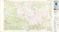
(31)- 1886 Map of St Johns
 1886 St Johns1886 Print · USGSApache County in the 1880s was a landscape of emerging pioneer outposts and high-plateau cattle ranching. Researchers can trace the early footprints of settlements like St Johns and Erastus or locate the original path of the Atlantic and Pacific Railroad.
 - 1892 Map of St Johns
 1892 St Johns1892 Print · USGSArizona's eastern frontier is documented here in the late nineteenth century as cattle ranching and early settlements followed the path of the river. Genealogists and historians can trace the foundations of St Johns and Springerville or locate long-standing sites like Erastus and Windmill Ranch.5 unique versions available
 - 1954 Map of Saint Johns, 1968 Print
 1954 Saint Johns1968 Print · USGSThe high plateau of the Arizona-New Mexico border is captured here in the mid-1950s, showing the intersection of tribal lands and national forests. Researchers can trace the cattle country and mountain outposts from Saint Johns to Pie Town and McNary.3 unique versions available
 - 1957 Map of Saint Johns
 1957 Saint Johns1957 Print · USGSThe Arizona-New Mexico borderlands are captured here in the mid-fifties, showing the high-country settlements and federal lands before modern development. Genealogists and historians can trace old homesteads and landmarks like the Red Hill Post Office, Lyman Reservoir, and the mountain communities of Eagar and Springerville.
 - 1958 Map of Saint Johns
 1958 Saint Johns1958 Print · USGSEastern Arizona and western New Mexico appear here in the late fifties, showcasing the high plateau and forest landscapes along the Continental Divide. Researchers can trace early ranching routes and water systems like Lyman Reservoir or locate remote settlements such as Fence Lake and Atarque.2 unique versions available
 - 1962 Map of Saint Johns
 1962 Saint Johns1962 Print · USGSEastern Arizona and the New Mexico borderlands come alive in the early sixties, showing a landscape of high-plateau ranching and early national monuments. Trace the path of the Atchison Topeka and Santa Fe or locate old water sources like Salado Springs and Lyman Reservoir.
 - 1969 Map of Coyote Hills, 1972 Print
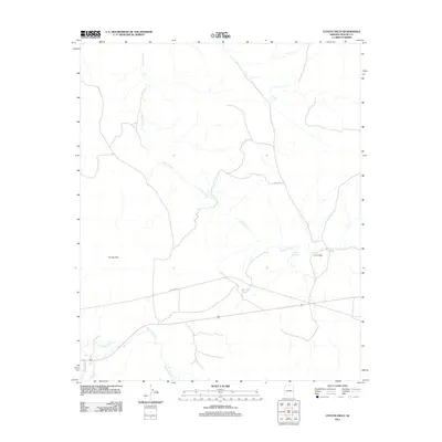
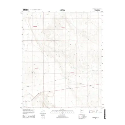
 1969 Coyote Hills1972 Print · USGSApache County's high ranching country is captured here in the late sixties, showing the vital relationship between water and livestock. Researchers can trace the network of corrals and jeep trails connecting Coyote Ranch with water sources like Horseshoe Spring and Coyote Spring.
 - 1969 Map of Eagar, 1972 Print
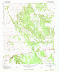
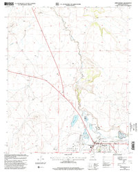
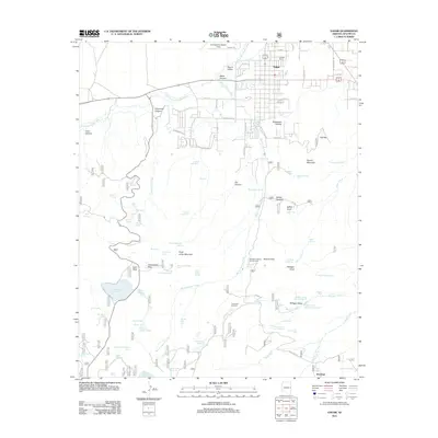
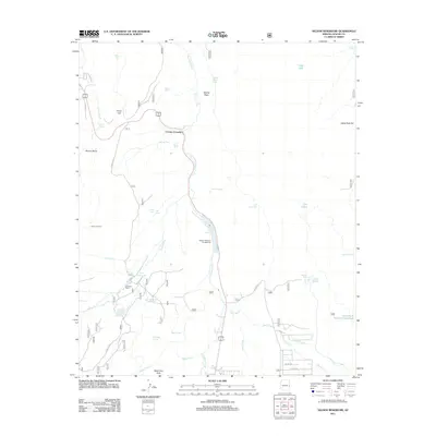
 1969 Eagar1972 Print · USGSIn the late sixties, the Round Valley region of eastern Arizona supported a growing community alongside the high-country ranching tradition. Researchers can locate the Amity Ditch irrigation system, family-named sites like Saffell Knoll, and the Mexican Hay Lake reservoir.2 unique versions available
 - 1969 Map of Springerville, 1972 Print
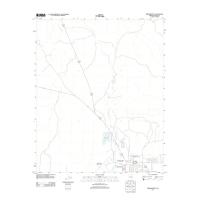
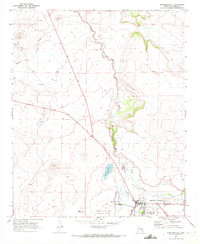 1969 Springerville1972 Print · USGSSpringerville sat at a crossroads of ranching and early aviation in the late sixties, anchored by the high country of Round Valley. Genealogists and historians can trace local landmarks like the town cemetery, the Little Colorado River's path, and Becker Lake.2 unique versions available
 - 1969 Map of Nelson Reservoir, 1972 Print
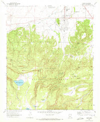
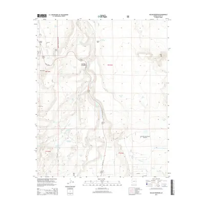
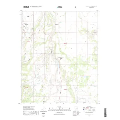
 1969 Nelson Reservoir1972 Print · USGSThe high timberlands of the Apache National Forest are captured here in the late sixties, centered on the vital waters of Nelson Reservoir. Trace early infrastructure and local landmarks like Correjo Crossing, Lockhart Well, and several high-altitude reservoirs.
 - 1981 Map of Springerville, 1982 Print
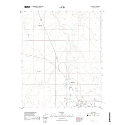
 1981 Springerville1982 Print · USGSThe high-country settlements of eastern Arizona come into focus during the early eighties, from the timber towns of Lakeside and Pinetop to the ranching center of Springerville. Trace family roots in McNary and Eagar or locate historic landmarks like the Williams Creek National Fish Hatchery.2 unique versions available
 - 1997 Map of Springerville, 2000 Print
 1997 Springerville2000 Print · USGSEastern Arizona's high-country ranching and forest management are documented in this late-century revision of the Round Valley area. Researchers can trace the water rights and boundaries of Springerville through Becker Lake, the Voigt Ranch, and the Little Colorado River corridor.
 - 1997 Map of Coyote Hills, 2000 Print
 1997 Coyote Hills2000 Print · USGSApache County high country in the late 1990s reveals a landscape of ranching and remote forest tracks. Genealogists and local historians can trace the legacy of Coyote Ranch and the settlement of Coyote near the waters of Nutrioso Creek.
 - 1997 Map of Nelson Reservoir, 2000 Print
 1997 Nelson Reservoir2000 Print · USGSThe Apache National Forest landscape in the 1990s reveals a sophisticated network of ranching and water management. Researchers can trace the legacy of local families and forest use through Butler Cemetery, Herchede Ranch, and the waters of Nelson Reservoir.
 - 1997 Map of Eagar, 2000 Print
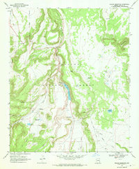
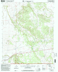
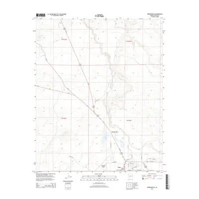
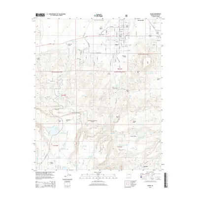
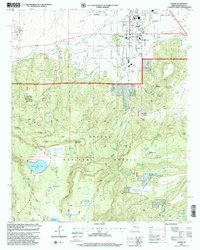 1997 Eagar2000 Print · USGSEagar and the high meadows of the Apache National Forest are documented here in the late nineties as they balance growth with deep-rooted ranching. Researchers can trace local landmarks like Mexican Hay Lake, the Sawmill area, and the Amity Ditch.
 - 2011 Map of Coyote Hills, 2011 Print
 2011 Coyote Hills2011 Print · USGSCovers Eagar, including Springerville, Apache County, and other nearby areas
 - 2011 Map of Springerville, 2011 Print
 2011 Springerville2011 Print · USGSCovers Eagar, including Springerville, Apache County, and other nearby areas
 - 2011 Map of Eagar, 2011 Print
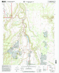
 2011 Eagar2011 Print · USGSCovers Eagar, including Springerville, Rosebud, and other nearby areas
 - 2011 Map of Nelson Reservoir, 2011 Print
 2011 Nelson Reservoir2011 Print · USGSCovers Eagar, including Apache County, United States, and other nearby areas
 - 2014 Map of Nelson Reservoir, 2014 Print
 2014 Nelson Reservoir2014 Print · USGSCovers Eagar, including Apache County, United States, and other nearby areas
 - 2014 Map of Springerville, 2014 Print
 2014 Springerville2014 Print · USGSCovers Eagar, including Springerville, Apache County, and other nearby areas
 - 2014 Map of Coyote Hills, 2014 Print
 2014 Coyote Hills2014 Print · USGSCovers Eagar, including Springerville, Apache County, and other nearby areas
 - 2014 Map of Eagar, 2014 Print
 2014 Eagar2014 Print · USGSCovers Eagar, including Springerville, Rosebud, and other nearby areas
 - 2018 Map of Springerville, 2018 Print
 2018 Springerville2018 Print · USGSCovers Eagar, including Springerville, Apache County, and other nearby areas
 - 2018 Map of Nelson Reservoir, 2018 Print
 2018 Nelson Reservoir2018 Print · USGSCovers Eagar, including Apache County, United States, and other nearby areas
Showing maps 1-25 of 31
Top cities near Eagar
Frequently asked questions
- What are the different types of historical maps available for Eagar?
- What is the oldest map of Eagar?
- Where can I purchase historical maps of Eagar for my home or office?
- Where can I download high-res historical maps of Eagar?
- Are there historical topographic maps available for Eagar?
- Is there historical aerial imagery available for Eagar?
- Where are historical maps of Eagar sourced from?