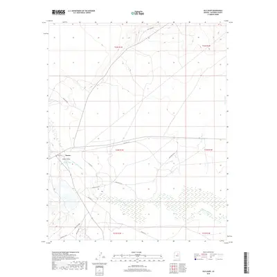
Old Maps of Leupp, Arizona for Hiking & Exploration
Hike through history with 25 historic maps of Leupp. Explore old trails, ghost towns, and forgotten backroads — perfect for outdoor adventurers and local explorers.
- Rediscover forgotten places: Map out old mining camps, roads, and footpaths that no longer exist on modern maps.
- Layer with modern tools: Combine with LiDAR or satellite views to plan hikes through historical terrain.
- Made for exploration: Popular among hikers, overlanders, and local history lovers.
Use these maps to find adventure and explore the hidden past of Leupp.
Leupp, AZ maps
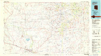
(25)- 1883 Map of Tusayan, 1896 Print
 1883 Tusayan1896 Print · USGSNortheastern Arizona's high desert was entering a period of rapid transition in the 1880s as traditional Hopi life met the expansion of the rail system. Genealogists and historians can trace the foundations of Winslow or explore ancient villages like Oraibi and Walpi.
 - 1886 Map of Tusayan
 1886 Tusayan1886 Print · USGSArizona's high desert during the 1880s reveals a unique meeting of ancient mesa villages and the advancing rail line. Genealogists and historians can trace mesa settlements like Wolpi and Oraibi or early rail towns including Brigham City and Winslow.5 unique versions available
 - 1886 Map of San Francisco Mtns
 1886 San Francisco Mtns1886 Print · USGSNorthern Arizona's high desert and peaks are documented here just as the rail era transformed the territory. Trace the early path of the Atlantic and Pacific Railroad through Flagstaff and find landmarks like Fort Moroni and Grand Falls.
 - 1891 Map of San Francisco Mtns
 1891 San Francisco Mtns1891 Print · USGSNorthern Arizona's high country during the territorial era is defined by the arrival of the railroad and the growth of mountain settlements. Trace the early layout of Flagstaff and follow the Atlantic and Pacific Railroad past Fort Moroni and through the San Francisco Mountains.
 - 1894 Map of San Francisco Mtns
 1894 San Francisco Mtns1894 Print · USGSNorthern Arizona's high timber and volcanic peaks appear here in the late nineteenth century as the railroad transforms the plateau. Trace early settlements like Flagstaff and Cosnino or locate territorial landmarks like Fort Moroni and Le Roux Spring.5 unique versions available
 - 1899 Map of San Francisco Mtns, 1922 Print
 1899 San Francisco Mtns1922 Print · USGSNorthern Arizona's high timber and desert plateau come alive in this late nineteenth-century survey. You can trace the early growth of Flagstaff, find the outpost at Fort Moroni, and follow the Santa Fe Pacific Railroad to Canyon Diablo.
 - 1947 Map of Flagstaff, 1948 Print
 1947 Flagstaff1948 Print · USGSThe Arizona high country and the Painted Desert converge in this post-war survey. Researchers can trace the ancient mesa villages of Walpi and Oraibi, the early roads of Flagstaff, and landmarks like Sunset Crater National Monument.2 unique versions available
 - 1954 Map of Flagstaff, 1966 Print
 1954 Flagstaff1966 Print · USGSNorthern Arizona in the mid-fifties shows a landscape of volcanic peaks and ancestral mesa villages linked by the iconic U.S. 66. Trace the path of the Atchison Topeka and Santa Fe through Winslow or explore the settlements of Old Oraibi and Kearns Canyon.3 unique versions available
 - 1955 Map of Winslow 2 SW, 1957 Print
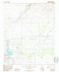
 1955 Winslow 2 SW1957 Print · USGSThe mid-century Navajo Indian Reservation comes into focus along the Little Colorado River. Researchers can trace the layout of Leupp, find the Sunrise Trading Post, and locate the Sunrise Airfield at this pivotal moment in the region's development.
 - 1955 Map of Leupp, 1959 Print
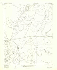
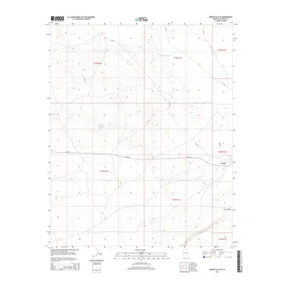
 1955 Leupp1959 Print · USGSThe Navajo Nation high desert comes into focus during the mid-fifties, centered on the Little Colorado River and the rugged profile of Newberry Mesa. Researchers can trace the layout of Leupp, the Tolani Lake Day School, and the early path of the Leupp Oraibi Road.2 unique versions available
 - 1958 Map of Flagstaff
 1958 Flagstaff1958 Print · USGSNorthern Arizona in the late fifties is captured here during the heyday of Route 66 and the expansion of the high desert rail corridors. Researchers can trace historic mesa settlements like Old Oraibi or follow the path of the Atchison Topeka and Santa Fe through Flagstaff and Winslow.
 - 1960 Map of Flagstaff
 1960 Flagstaff1960 Print · USGSNorthern Arizona at the dawn of the sixties shows a landscape defined by mesa-top Hopi villages and the burgeoning railroad hub of Flagstaff. Trace the path of U.S. 66 past Meteor Crater or locate historic trading posts like Gray Mountain Trading Post.2 unique versions available
 - 1962 Map of Flagstaff
 1962 Flagstaff1962 Print · USGSNorthern Arizona in the early sixties showcases the intersection of Tribal lands, national forests, and the busy Route 66 corridor. Trace historic roadside stops and landmarks like Meteor Crater, the Buck-Rodgers Trading Post, and the ancient village of Old Oraibi.
 - 1969 Map of Grand Falls SE, 1972 Print
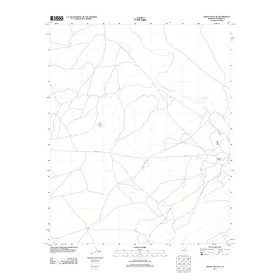
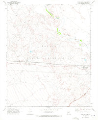 1969 Grand Falls SE1972 Print · USGSThe Navajo Nation's community of Leupp is captured here in the late sixties, showing a period of significant educational and infrastructure growth. Trace local history through the Leupp Boarding Sch, the Sunrise Landing Field, and the Little Colorado River.2 unique versions available
 - 1982 Map of Flagstaff, 1983 Print
 1982 Flagstaff1983 Print · USGSThe high plateau surrounding Flagstaff is seen here in the early eighties, centered on the intersection of forest, rail, and science. Genealogists and historians can trace the paths of U S 66 and the Atchison Topeka and Santa Fe past landmarks like Two Guns, Bellemont, and Lowell Observatory.2 unique versions available
 - 1982 Map of Winslow, 1983 Print
 1982 Winslow1983 Print · USGSThe High Desert of Northern Arizona in the early eighties shows the intersection of tribal lands and railroad history. Genealogists and historians can locate remote settlements like Leupp and Indian Wells or trace the Atchison Topeka and Santa Fe line past Bushman Acres.2 unique versions available
 - 1986 Map of Old Leupp
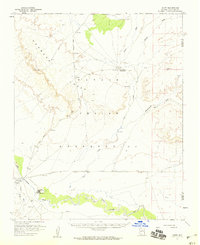
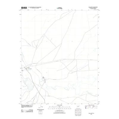
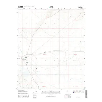
 1986 Old Leupp1986 Print · USGSThe Navajo Nation high desert comes into focus in the 1980s as it transitions toward the end of the century. Genealogists and historians can locate the Old Leupp settlement, a local Cem, and the winding path of Canyon Diablo as it meets the river.
 - 2011 Map of Old Leupp, 2011 Print
 2011 Old Leupp2011 Print · USGSCovers Leupp, including Old Leupp, Sunrise, and other nearby areas
 - 2011 Map of Grand Falls SE, 2011 Print
 2011 Grand Falls SE2011 Print · USGSCovers Leupp, including Coconino County, United States, and other nearby areas
 - 2014 Map of Old Leupp, 2014 Print
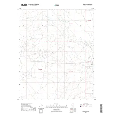
 2014 Old Leupp2014 Print · USGSCovers Leupp, including Old Leupp, Sunrise, and other nearby areas
 - 2014 Map of Grand Falls SE, 2014 Print
 2014 Grand Falls SE2014 Print · USGSCovers Leupp, including Coconino County, United States, and other nearby areas
 - 2018 Map of Old Leupp, 2018 Print
 2018 Old Leupp2018 Print · USGSCovers Leupp, including Old Leupp, Sunrise, and other nearby areas
 - 2018 Map of Grand Falls SE, 2018 Print
 2018 Grand Falls SE2018 Print · USGSCovers Leupp, including Coconino County, United States, and other nearby areas
 - 2021 Map of Grand Falls SE, 2021 Print
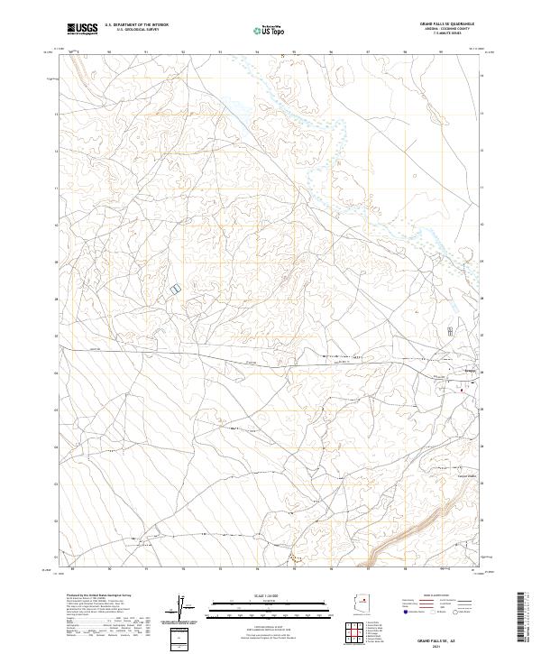 2021 Grand Falls SE2021 Print · USGSCoconino County comes into focus in this contemporary survey, showing the desert landscape as it appeared in recent years. Researchers can trace the proximity of Leupp to the winding Little Colorado River and the deep path of Canyon Diablo.
 - 2021 Map of Old Leupp, 2021 Print
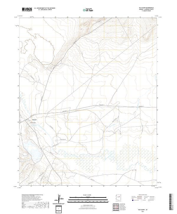 2021 Old Leupp2021 Print · USGSNorthern Arizona's high desert landscape unfolds in this contemporary survey, centering on the winding Little Colorado River. Researchers can trace the layout of Sunrise and Canyon Diablo alongside the expansive Canyon Diablo Wash.
End of results
Showing maps 1-25 of 25
Top cities near Leupp
Top neighborhoods of Leupp
Frequently asked questions
- What are the different types of historical maps available for Leupp?
- What is the oldest map of Leupp?
- Where can I purchase historical maps of Leupp for my home or office?
- Where can I download high-res historical maps of Leupp?
- Are there historical topographic maps available for Leupp?
- Is there historical aerial imagery available for Leupp?
- Where are historical maps of Leupp sourced from?