2000s (21st Century) Maps of Leupp, Arizona
Explore 8 historic maps of Leupp from the 2000s (21st Century). These maps offer a rare glimpse into what life looked like during the 2000s — showing old roads, neighborhoods, homes, and landmarks that have changed or disappeared over time.
Whether you're researching your family's past, planning a metal detecting trip, or studying how Leupp's landscape evolved across the 2000s, these high-resolution maps are a powerful tool for exploring the history of this region.
- Focus on a specific era: All maps on this page are from the 2000s, giving you a focused view of this time period.
- See what’s changed: Compare century-old streets, trails, and buildings to today's modern landscape using overlays and satellite layers.
- Research with precision: Use these maps for genealogy, historical research, land use analysis, or educational projects.
- View, download, or print: Maps are fully viewable online in high resolution, and can be downloaded or printed for your own records.
Start exploring Leupp's history through authentic maps from the 2000s. This is your window into the past.
Leupp, AZ maps
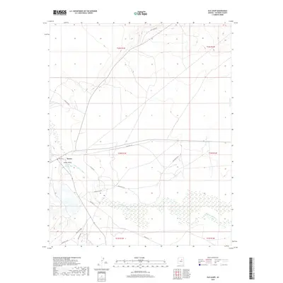
(8)- 2011 Map of Old Leupp, 2011 Print
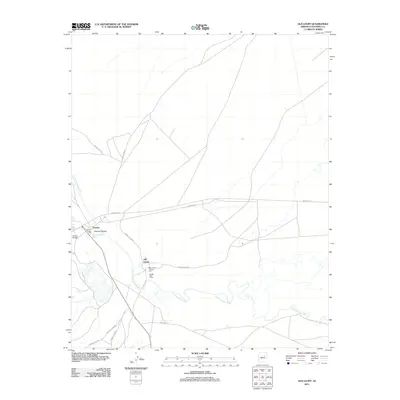 2011 Old Leupp2011 Print · USGSCovers Leupp, including Old Leupp, Sunrise, and other nearby areas
 - 2011 Map of Grand Falls SE, 2011 Print
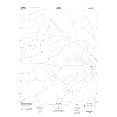 2011 Grand Falls SE2011 Print · USGSCovers Leupp, including Coconino County, United States, and other nearby areas
 - 2014 Map of Old Leupp, 2014 Print
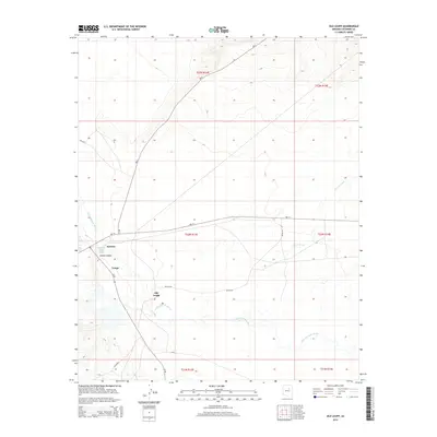 2014 Old Leupp2014 Print · USGSCovers Leupp, including Old Leupp, Sunrise, and other nearby areas
 - 2014 Map of Grand Falls SE, 2014 Print
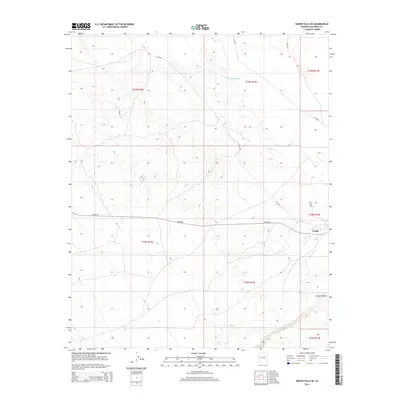 2014 Grand Falls SE2014 Print · USGSCovers Leupp, including Coconino County, United States, and other nearby areas
 - 2018 Map of Old Leupp, 2018 Print
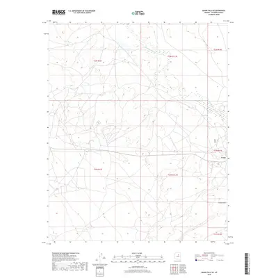
 2018 Old Leupp2018 Print · USGSCovers Leupp, including Old Leupp, Sunrise, and other nearby areas
 - 2018 Map of Grand Falls SE, 2018 Print
 2018 Grand Falls SE2018 Print · USGSCovers Leupp, including Coconino County, United States, and other nearby areas
 - 2021 Map of Grand Falls SE, 2021 Print
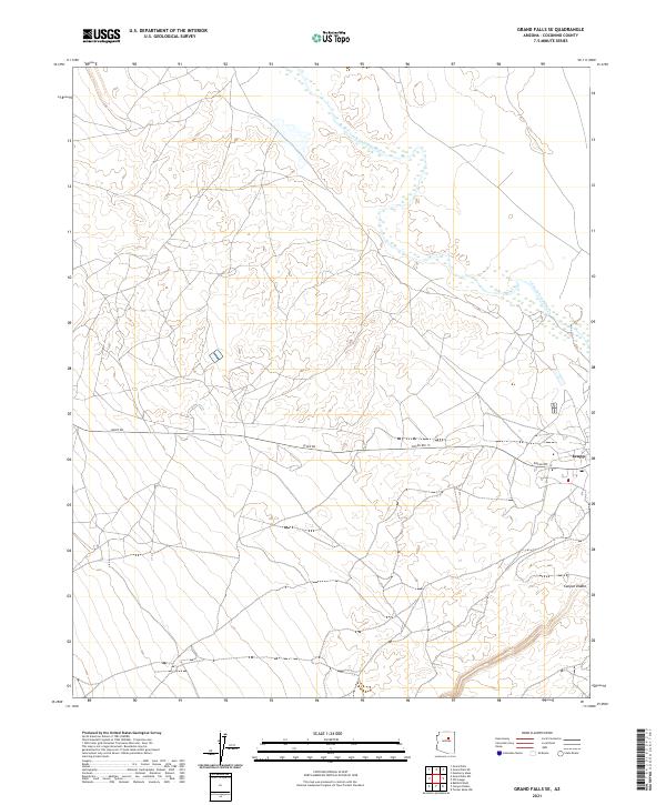 2021 Grand Falls SE2021 Print · USGSCoconino County comes into focus in this contemporary survey, showing the desert landscape as it appeared in recent years. Researchers can trace the proximity of Leupp to the winding Little Colorado River and the deep path of Canyon Diablo.
 - 2021 Map of Old Leupp, 2021 Print
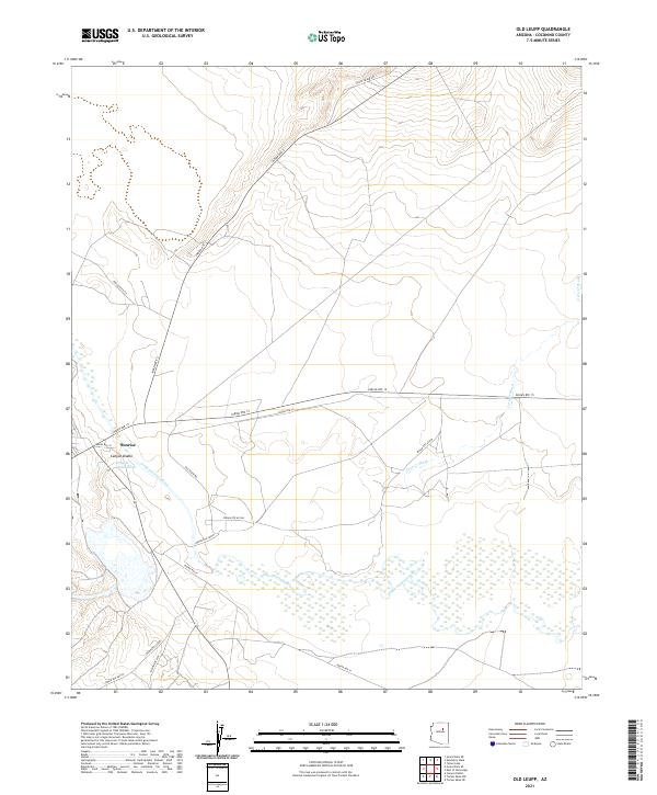 2021 Old Leupp2021 Print · USGSNorthern Arizona's high desert landscape unfolds in this contemporary survey, centering on the winding Little Colorado River. Researchers can trace the layout of Sunrise and Canyon Diablo alongside the expansive Canyon Diablo Wash.
End of results
Showing maps 1-8 of 8
Top cities near Leupp
Top neighborhoods of Leupp
Frequently asked questions
- What are the different types of historical maps available for Leupp?
- What is the oldest map of Leupp?
- Where can I purchase historical maps of Leupp for my home or office?
- Where can I download high-res historical maps of Leupp?
- Are there historical topographic maps available for Leupp?
- Is there historical aerial imagery available for Leupp?
- Where are historical maps of Leupp sourced from?