2000s (21st Century) Maps of Page, Arizona
Explore 21 historic maps of Page from the 2000s (21st Century). These maps offer a rare glimpse into what life looked like during the 2000s — showing old roads, neighborhoods, homes, and landmarks that have changed or disappeared over time.
Whether you're researching your family's past, planning a metal detecting trip, or studying how Page's landscape evolved across the 2000s, these high-resolution maps are a powerful tool for exploring the history of this region.
- Focus on a specific era: All maps on this page are from the 2000s, giving you a focused view of this time period.
- See what’s changed: Compare century-old streets, trails, and buildings to today's modern landscape using overlays and satellite layers.
- Research with precision: Use these maps for genealogy, historical research, land use analysis, or educational projects.
- View, download, or print: Maps are fully viewable online in high resolution, and can be downloaded or printed for your own records.
Start exploring Page's history through authentic maps from the 2000s. This is your window into the past.
Page, AZ maps
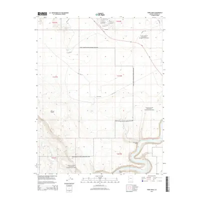
(21)- 2011 Map of Ferry Swale, 2011 Print
 2011 Ferry Swale2011 Print · USGSCovers Page, including Greenehaven, Coconino County, and other nearby areas2 unique versions available
 - 2011 Map of Page, 2011 Print
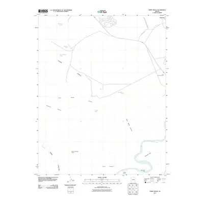
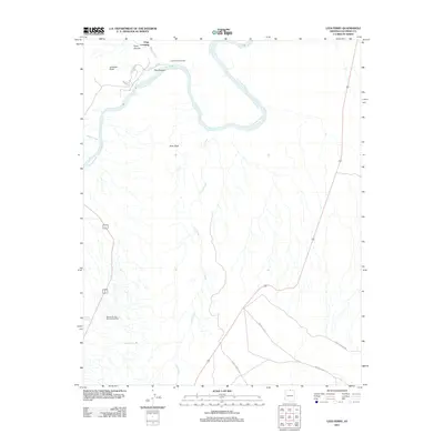
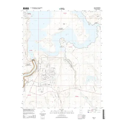
 2011 Page2011 Print · USGSCovers Page, including Wahweap, Coconino County, and other nearby areas2 unique versions available
 - 2011 Map of Lone Rock, 2011 Print
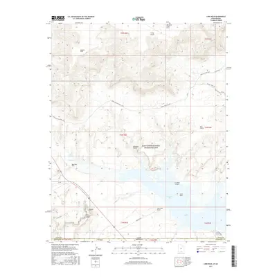
 2011 Lone Rock2011 Print · USGSCovers Page, including Coconino County, Kane County, and other nearby areas
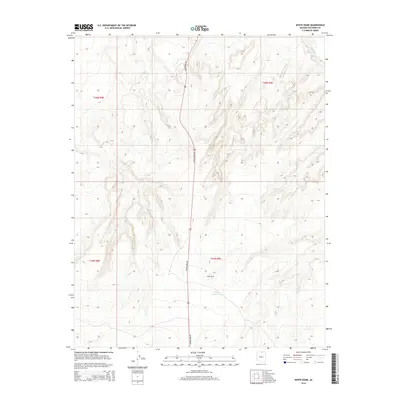
 - 2011 Map of White Dome, 2011 Print
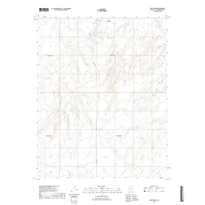
 2011 White Dome2011 Print · USGSCovers Page, including LeChee, Coconino County, and other nearby areas
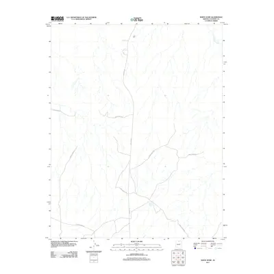
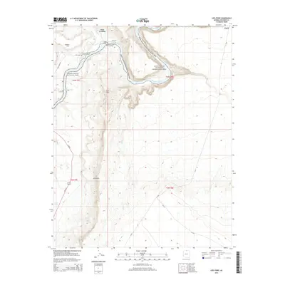
 - 2011 Map of Lees Ferry, 2011 Print
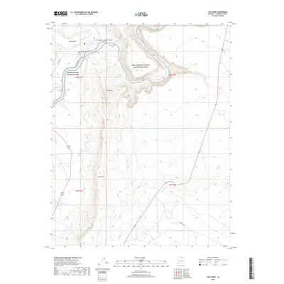
 2011 Lees Ferry2011 Print · USGSCovers Page, including Coconino County, United States, and other nearby areas
 - 2014 Map of Lone Rock, 2014 Print
 2014 Lone Rock2014 Print · USGSCovers Page, including Coconino County, Kane County, and other nearby areas
 - 2014 Map of White Dome, 2014 Print
 2014 White Dome2014 Print · USGSCovers Page, including LeChee, Coconino County, and other nearby areas
 - 2014 Map of Lees Ferry, 2014 Print
 2014 Lees Ferry2014 Print · USGSCovers Page, including Coconino County, United States, and other nearby areas
 - 2014 Map of Ferry Swale, 2014 Print
 2014 Ferry Swale2014 Print · USGSCovers Page, including Greenehaven, Coconino County, and other nearby areas
 - 2014 Map of Page, 2014 Print
 2014 Page2014 Print · USGSCovers Page, including Wahweap, Coconino County, and other nearby areas
 - 2017 Map of Lone Rock, 2017 Print
 2017 Lone Rock2017 Print · USGSCovers Page, including Coconino County, Kane County, and other nearby areas
 - 2018 Map of White Dome, 2018 Print
 2018 White Dome2018 Print · USGSCovers Page, including LeChee, Coconino County, and other nearby areas
 - 2018 Map of Lees Ferry, 2018 Print
 2018 Lees Ferry2018 Print · USGSCovers Page, including Coconino County, United States, and other nearby areas
 - 2018 Map of Ferry Swale, 2018 Print
 2018 Ferry Swale2018 Print · USGSCovers Page, including Greenehaven, Coconino County, and other nearby areas
 - 2018 Map of Page, 2018 Print
 2018 Page2018 Print · USGSCovers Page, including Wahweap, Coconino County, and other nearby areas
 - 2020 Map of Lone Rock, 2020 Print
 2020 Lone Rock2020 Print · USGSCovers Page, including Coconino County, Kane County, and other nearby areas
 - 2021 Map of White Dome, 2021 Print
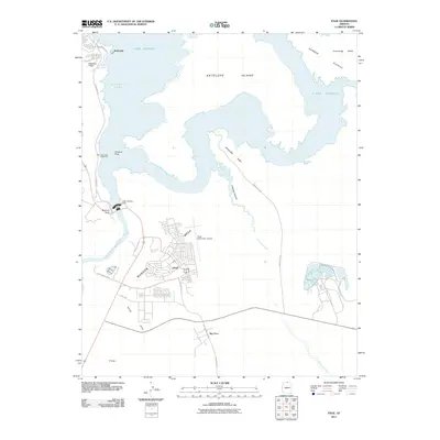
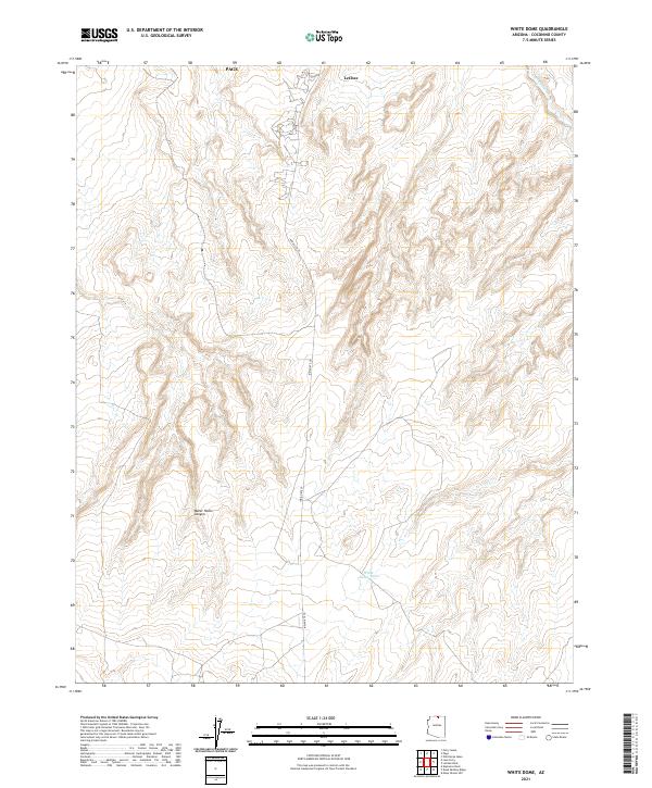 2021 White Dome2021 Print · USGSThe Navajo Nation lands south of Page are captured in the early 2020s, showing the interaction between rising settlements and deep canyon terrain. Trace the path of Indian Rte 20 through LeChee and into the breaks of Water Holes Canyon.
 - 2021 Map of Ferry Swale, 2021 Print
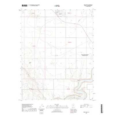
 2021 Ferry Swale2021 Print · USGSThe Colorado River corridor near Page and Greenehaven is documented here in the early twenty-first century. Researchers can trace the winding paths of the Colorado River Trl and Paria River, or locate natural landmarks like Thousand Pockets and Ferry Swale.
 - 2021 Map of Lees Ferry, 2021 Print
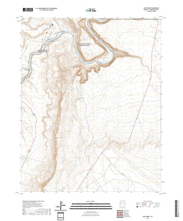 2021 Lees Ferry2021 Print · USGSCoconino County at the start of the 2020s shows the iconic junction of the Colorado and Paria rivers. Researchers can trace historic sites like Lonely Dell Cem and access routes through Marble Canyon and the Echo Cliffs.
 - 2021 Map of Page, 2021 Print
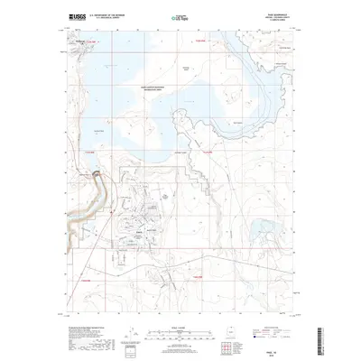
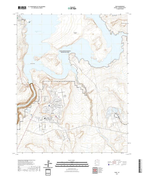 2021 Page2021 Print · USGSThe city of Page and the high plateaus of Manson Mesa are shown in detail during the early 2020s. Researchers can trace the modern development of the city from the Page Municipal Airport to local landmarks like Beehive Rock and the Page City Cem.
 - 2023 Map of Lone Rock, 2023 Print
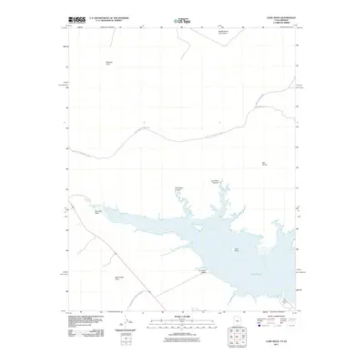
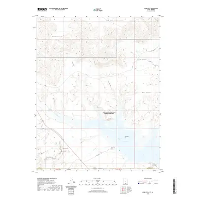
 2023 Lone Rock2023 Print · USGSThe Utah-Arizona borderlands come alive in this survey of Lake Powell and its surrounding canyon country. You can trace the rugged access to Greenehaven and find recreational landmarks like Lone Rock Beach and Skylight Arch.
End of results
Showing maps 1-21 of 21
Top cities near Page
Frequently asked questions
- What are the different types of historical maps available for Page?
- What is the oldest map of Page?
- Where can I purchase historical maps of Page for my home or office?
- Where can I download high-res historical maps of Page?
- Are there historical topographic maps available for Page?
- Is there historical aerial imagery available for Page?
- Where are historical maps of Page sourced from?