Old Maps of La Paz Valley, Arizona for Genealogy
Trace your family roots with 13 historic maps of La Paz Valley. These high-res maps reveal old neighborhoods, homesites, landmarks, and streets — helping you uncover where your ancestors lived and how the area evolved over time.
- Explore historic neighborhoods: Identify where your relatives may have lived in the 1800s or 1900s.
- Compare maps over time: Trace the changes in streets, buildings, and landmarks for multi-generational research.
- Perfect for genealogy & ancestry research: Used by family historians and researchers to map out lineage and migration.
These maps are an incredible resource for exploring your personal connection to La Paz Valley's past.
La Paz Valley, AZ maps
(13)- 1942 Map of Blythe
 1942 Blythe1942 Print · USGSThe Lower Colorado River valley appears here in the early 1940s, showcasing the agricultural development of the Palo Verde Mesa alongside a booming mining industry. Researchers can locate remote desert outposts and extraction sites like Midland, the U S Gypsum Mine, and Nortons Landing.2 unique versions available
 - 1954 Map of Salton Sea
 1954 Salton Sea1954 Print · USGSThe Colorado River and Imperial Valley desert frontiers are captured here in the 1950s. Trace the irrigation networks of Calipatria and mining sites like Eagle Mountain Mine.
 - 1955 Map of Salton Sea
 1955 Salton Sea1955 Print · USGSThe Colorado River and Imperial Valley desert basins appear here during the mid-fifties, revealing a landscape of remote mines and agricultural irrigation. Genealogists and researchers can trace locations like the Parker Alien Reception Center Unit No 1, Blythe, and the Kane Springs School.2 unique versions available
 - 1959 Map of Salton Sea, 1968 Print
 1959 Salton Sea1968 Print · USGSThe Colorado River and Salton Sea basin are shown here during a decade of intense military and agricultural activity. Trace family roots in Blythe or Niland, and locate historical mining operations like the Eagle Mountain Mine and Red Cloud Mine.4 unique versions available
 - 1962 Map of Quartzsite, 1964 Print
 1962 Quartzsite1964 Print · USGSThe Arizona desert in the early sixties is captured here as a landscape of mining prospects and historic landmarks. Trace the early settlement at Quartzsite, find the Hi Jolly Monument, or locate remote sites like the Gold Nugget Mine and Old Fort Tyson.2 unique versions available
 - 1963 Map of Salton Sea
 1963 Salton Sea1963 Print · USGSThe Colorado Desert during the early sixties shows a landscape defined by massive water projects and Cold War military ranges. Trace the growth of Salton City and Brawley, or locate remote desert outposts like the Paymaster Mine and Desert Center.
 - 1965 Map of Salton Sea
 1965 Salton Sea1965 Print · USGSThe Colorado Desert and Imperial Valley are caught in a period of intense irrigation and military expansion during the mid-sixties. Researchers can trace the desert's industrial footprint through the Eagle Mountain Mine, the remote Desert Center, and the Salton Sea Test Base.
 - 1986 Map of Blythe
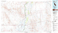 1986 Blythe1986 Print · USGSThe Colorado River valley at the California and Arizona border in the mid-1980s shows a landscape of intensive desert farming and remote mining. Trace the rail lines of the Atchison Topeka and Santa Fe or locate historical workings like the Arlington Mine and Victor Mine.3 unique versions available
 - 1990 Map of South of Quartzsite
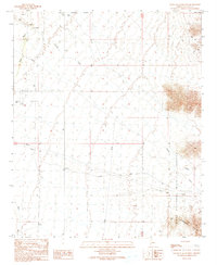 1990 South of Quartzsite1990 Print · USGSArid Arizona landscapes south of Quartzsite come into focus in the late eighties, showing a mix of ancient sites and modern infrastructure. Researchers can find Petroglyphs, trace the boundary of the Kofa National Wildlife Refuge, and locate Eightmile Well.
 - 2011 Map of South of Quartzsite, 2011 Print
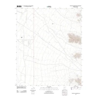 2011 South of Quartzsite2011 Print · USGSArizona's Sonoran landscape south of Quartzsite is shown here in the early 2100s as a desert crossroads of utility and settlement. Researchers can trace the development of the La Paz Valley and follow local routes like Old Yuma Rd and Pipeline Rd.
 - 2014 Map of South of Quartzsite, 2014 Print
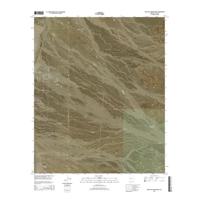 2014 South of Quartzsite2014 Print · USGSQuartzsite and the surrounding Sonoran Desert are documented here in the early twenty-first century as the town expanded into the La Posa Plain. Researchers can trace local development in La Paz Valley and follow routes like Old Yuma Rd toward the Livingston Hills.
 - 2018 Map of South of Quartzsite, 2018 Print
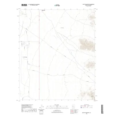 2018 South of Quartzsite2018 Print · USGSQuartzsite and the surrounding desert landscape are captured here in the late twenty-tens as the town extends south into the valley. Researchers can trace historical transit routes like Old Yuma Rd and find the ephemeral course of French Cr as it crosses the La Posa Plain.
 - 2021 Map of South of Quartzsite, 2021 Print
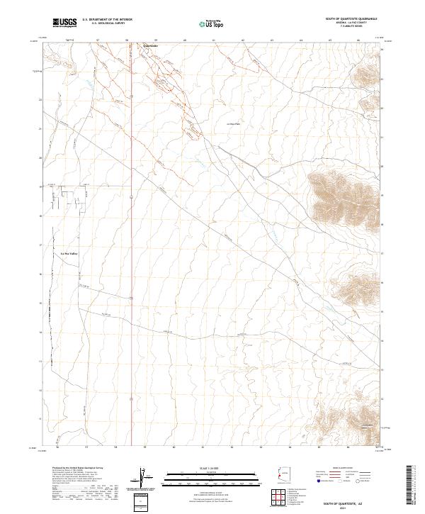 2021 South of Quartzsite2021 Print · USGSLa Paz County's desert floor and mountain foothills come alive in this recent survey of the area south of Quartzsite. Researchers can trace historical transit routes like Old Yuma Rd and explore the trails winding through the Livingston Hills.
End of results
Showing maps 1-13 of 13
Top cities near La Paz Valley
Frequently asked questions
- What are the different types of historical maps available for La Paz Valley?
- What is the oldest map of La Paz Valley?
- Where can I purchase historical maps of La Paz Valley for my home or office?
- Where can I download high-res historical maps of La Paz Valley?
- Are there historical topographic maps available for La Paz Valley?
- Is there historical aerial imagery available for La Paz Valley?
- Where are historical maps of La Paz Valley sourced from?