Old Maps of Cienega Springs, Arizona for Academic Research
Study the evolution of Cienega Springs with 13 high-resolution historic maps. Whether you're teaching, researching, or modeling changes in land use, these maps provide essential visual documentation of urban, environmental, and geographic change.
- Analyze long-term change: Track patterns in development, transportation, and natural features.
- Ideal for environmental or urban studies: Support academic projects with primary historical map data.
- Use in the classroom or lab: Educators and researchers rely on these maps to bring historical context to life.
These maps are a powerful tool for teaching, research, and visualizing how Cienega Springs has changed over the decades.
Cienega Springs, AZ maps
(13)- 1911 Map of Parker
 1911 Parker1911 Print · USGSThe Arizona-California borderlands are captured here in the early twentieth century as the river and rail networks began to transform the desert. Researchers can trace the development of the Colorado River Indian Reservation, the rail hub at Parker, and early mining sites like the Billy Mack Mine.3 unique versions available
 - 1950 Map of Parker Dam Area
 1950 Parker Dam Area1950 Print · USGSThe California-Arizona borderlands come into focus at the mid-century mark, centered on the engineering of the Parker Dam. Trace the river economy through the Colorado River Indian Reservation and remote landmarks like Bandit Pass and Cienega Springs.2 unique versions available
 - 1954 Map of Needles
 1954 Needles1954 Print · USGSThe Mojave Desert at the height of the mid-century era shows a landscape defined by the Atchison Topeka and Santa Fe railroad and the legendary U S Highway 66. Genealogists and historians can trace rail stops like Goffs, mining sites such as the Bonanza King Mine, and the early borders of the Chemehuevi Indian Reservation.
 - 1956 Map of Needles
 1956 Needles1956 Print · USGSThe Mojave Desert and Colorado River come alive in the mid-fifties, showing the intersection of vital rail lines and massive water projects. Trace the Atchison Topeka and Santa Fe line through Amboy or locate remote sites like the Copper World Mine and Rio Vista Guest Ranch.7 unique versions available
 - 1959 Map of Cross Roads, 1960 Print
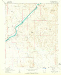 1959 Cross Roads1960 Print · USGSThe Colorado River borderlands in the late fifties show a landscape of isolated river settlements and hard-rock mining claims. Genealogists and historians can trace old homesteads and mining sites like Cross Roads, Empire, and the Billy Mack Mine.5 unique versions available
 - 1959 Map of Black Peak, 1961 Print
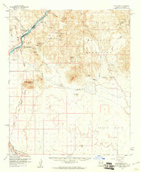 1959 Black Peak1961 Print · USGSThe Colorado River borderlands in the late fifties reveal a landscape of active mining and desert transit. Genealogists and historians can trace industrial activity at the Mineral Hill Mines or locate river-side life at Cross Roads and Cienega Springs.4 unique versions available
 - 1981 Map of Needles, 1987 Print
 1981 Needles1987 Print · USGSThe High Desert and Colorado River valley are seen here in the early 1980s through the unique lens of satellite imagery. Trace the isolated outposts of the AT & SF railroad at Goffs and Essex, or explore the sprawling shores of Lake Havasu.
 - 1985 Map of Parker
 1985 Parker1985 Print · USGSThe Colorado River valley in the mid-eighties was a hub of desert transit, mining, and water management. Researchers can trace the path of the Atchison Topeka and Santa Fe railroad through Vidal Junction and locate numerous historic diggings like the Gold Hill Mine or Billy Mack Mine.2 unique versions available
 - 2012 Map of Cross Roads, 2012 Print
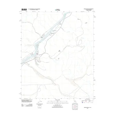 2012 Cross Roads2012 Print · USGSAlong the Arizona-California border in the early 2010s, this desert landscape showcases the riverside communities thriving along the Colorado River. Genealogists and local historians can trace the growth of Cienega Springs and Parker Strip, or locate inland landmarks like Billy Mack Mountain and the Billy Mack Mine Rd.
 - 2015 Map of Cross Roads, 2015 Print
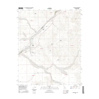 2015 Cross Roads2015 Print · USGSThe Arizona-California borderland along the Colorado River is shown here in the mid-2010s during a period of established riverside development. Researchers can trace the layout of waterfront communities like Parker Strip and Cienega Springs or locate landmarks such as Black Peak.
 - 2018 Map of Cross Roads, 2018 Print
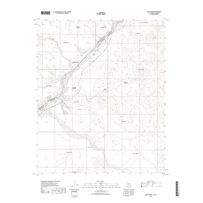 2018 Cross Roads2018 Print · USGSThe Colorado River borderlands in the late 2010s are defined by the meeting of three states and the desert peaks of the Whipple Mountains. Researchers can trace riverside development at Cienega Springs and Empire Flat or locate remote landmarks like Billy Mack Mtn.
 - 2021 Map of Cross Roads, 2021 Print
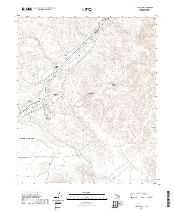 2021 Cross Roads2021 Print · USGSThe Colorado River borderlands come into focus in the early 2020s, showing the residential and desert landscape at the California-Arizona line. Trace the local geography of Cienega Springs and Empire Flat or follow the path of Billy Mack Mine Rd toward Lion Hill.
 - 2026 Map of Cross Roads, 2026 Print
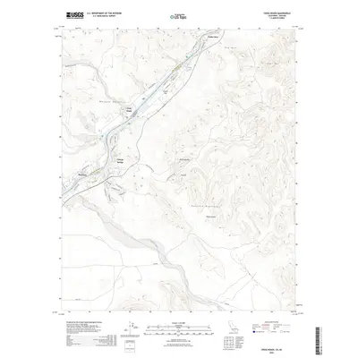 2026 Cross Roads2026 Print · USGSCovers Cienega Springs, including Parker Strip, Bluewater, and other nearby areas
End of results
Showing maps 1-13 of 13
Top cities near Cienega Springs
- Parker historical maps
- Parker historical maps
- Big River historical maps
- Bouse historical maps
- Bluewater historical maps
- Parker Strip historical maps
See more
Frequently asked questions
- What are the different types of historical maps available for Cienega Springs?
- What is the oldest map of Cienega Springs?
- Where can I purchase historical maps of Cienega Springs for my home or office?
- Where can I download high-res historical maps of Cienega Springs?
- Are there historical topographic maps available for Cienega Springs?
- Is there historical aerial imagery available for Cienega Springs?
- Where are historical maps of Cienega Springs sourced from?