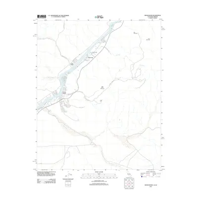
2012 Map of Cross Roads
USGS Topo · Published 2012About this map
The Colorado River defines this desert corridor along the Arizona-California border, where riverside development and industrial routes converge. In this 2012 snapshot, the community of Cienega Springs serves as a hub of residential activity, featuring a network of local roads like Marina Loop and Bluewater Dr that trace the water's edge. To the north, Parker Strip and Empire Flat reflect the area's significance as a recreational and residential stretch, while Cross Roads marks a key junction further inland.
Find a feature on this map
45 named features on this map. Tap any name to fly to it.
Don’t see what you’re looking for? This feature index may not catch every label — zoom into the map to look around manually.
Map Details
Editions of this 2012 Cross Roads Map
This is the sole edition of this map. No revisions or reprints were ever made.
Other maps of this area

1911 · Parker
USGS Topo · 1:125,000

1943 · Giers Basin
USGS Topo · 1:62,500

1943 · Whipple Mts.
USGS Topo · 1:62,500

1943 · Parker
USGS Topo · 1:62,500

1949 · Parker
USGS Topo · 1:62,500

1950 · Parker Dam Area
USGS Topo · 1:62,500

1950 · Parker
USGS Topo · 1:62,500

1950 · Whipple Mts
USGS Topo · 1:62,500

1952 · Whipple Mts
USGS Topo · 1:62,500

1954 · Needles
USGS Topo · 1:250,000