Old Maps of Buckeye, Arizona
Explore 41 old maps of Buckeye, spanning from 1946 to today. These high-resolution historic maps reveal how streets, neighborhoods, landmarks, and natural features evolved over time — perfect for genealogy, metal detecting, research, and local history exploration.
What you can do with these maps:
- See how Buckeye changed over time: Compare historical maps to modern-day views to trace roads, homesites, rail lines & more.
- View detailed metadata: Each map includes creators, publishers, year, scale, and archive source.
- Overlay maps with satellite & LiDAR: Visualize the past alongside modern tools to explore terrain & human change.
- Trusted historical sources: Maps sourced from the USGS, Library of Congress, and other archives.
- Access maps your way: View online, download high-res files, or order prints for personal or research use.
Start exploring old maps of Buckeye to uncover forgotten places, hidden landmarks, and the deep history beneath your feet.
Buckeye, AZ maps
(41)- 1946 Map of Avondale, 1963 Print
 1946 Avondale1963 Print · USGSCovers Buckeye, including Phoenix, Avondale, and other nearby areas2 unique versions available
 - 1948 Map of Cashion
 1948 Cashion1948 Print · USGSCovers Buckeye, including Phoenix, Avondale, and other nearby areas2 unique versions available
 - 1951 Map of Mobile
 1951 Mobile1951 Print · USGSCovers Buckeye, including Goodyear, Mobile, and other nearby areas3 unique versions available
 - 1951 Map of Cotton Center, 1952 Print
 1951 Cotton Center1952 Print · USGSCovers Buckeye, including Gila Bend, San Lucy District, and other nearby areas2 unique versions available
 - 1951 Map of Woolsey Peak, 1952 Print
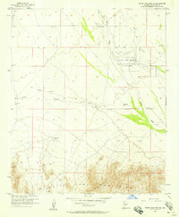
 1951 Woolsey Peak1952 Print · USGSCovers Buckeye, including Harqua, San Lucy District, and other nearby areas3 unique versions available
 - 1954 Map of Phoenix, 1964 Print
 1954 Phoenix1964 Print · USGSCovers Buckeye, including Phoenix, Glendale, and other nearby areas5 unique versions available
 - 1957 Map of Phoenix
 1957 Phoenix1957 Print · USGSCovers Buckeye, including Phoenix, Glendale, and other nearby areas
 - 1957 Map of White Tank Mts. SE, 1958 Print
 1957 White Tank Mts. SE1958 Print · USGSCovers Buckeye, including Verrado, Maricopa County, and other nearby areas5 unique versions available
 - 1957 Map of Valencia, 1958 Print
 1957 Valencia1958 Print · USGSCovers Buckeye, including Verrado, Maricopa County, and other nearby areas6 unique versions available
 - 1957 Map of Perryville, 1958 Print
 1957 Perryville1958 Print · USGSCovers Buckeye, including Goodyear, Estrella, and other nearby areas5 unique versions available
 - 1957 Map of White Tank Mts. NE, 1958 Print
 1957 White Tank Mts. NE1958 Print · USGSCovers Buckeye, including Surprise, Maricopa County, and other nearby areas4 unique versions available
 - 1957 Map of Waddell, 1958 Print
 1957 Waddell1958 Print · USGSCovers Buckeye, including Glendale, Surprise, and other nearby areas4 unique versions available
 - 1957 Map of Avondale SW, 1958 Print
 1957 Avondale SW1958 Print · USGSCovers Buckeye, including Goodyear, Estrella, and other nearby areas5 unique versions available
 - 1957 Map of White Tank Mts., 1959 Print
 1957 White Tank Mts.1959 Print · USGSCovers Buckeye, including Surprise, Verrado, and other nearby areas3 unique versions available
 - 1958 Map of Phoenix
 1958 Phoenix1958 Print · USGSCovers Buckeye, including Phoenix, Glendale, and other nearby areas
 - 1958 Map of Buckeye NW, 1959 Print
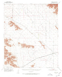
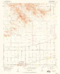
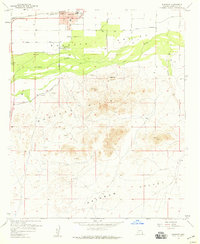
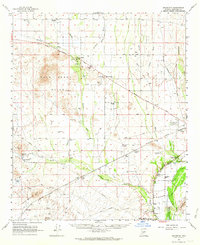
 1958 Buckeye NW1959 Print · USGSCovers Buckeye, including Maricopa County, United States, and other nearby areas3 unique versions available
 - 1958 Map of Hassayampa, 1959 Print
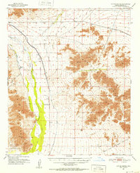
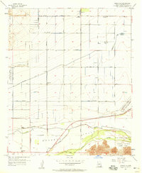
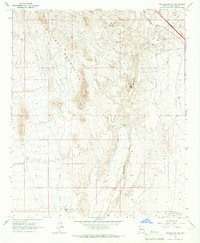
 1958 Hassayampa1959 Print · USGSCovers Buckeye, including Hassayampa, Palo Verde, and other nearby areas4 unique versions available
 - 1958 Map of Buckeye, 1959 Print
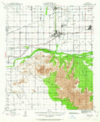
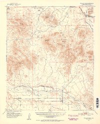
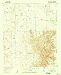
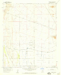
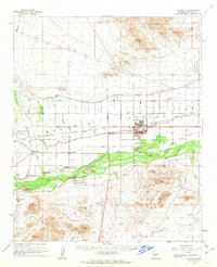
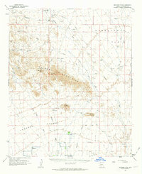
 1958 Buckeye1959 Print · USGSCovers Buckeye, including Maricopa County, United States, and other nearby areas4 unique versions available
 - 1958 Map of Buckeye, 1963 Print
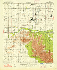
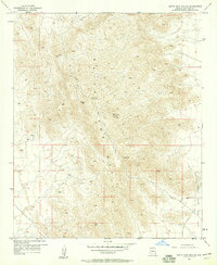
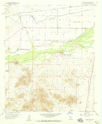
 1958 Buckeye1963 Print · USGSCovers Buckeye, including Hassayampa, Verrado, and other nearby areas2 unique versions available
 - 1960 Map of Phoenix
 1960 Phoenix1960 Print · USGSCovers Buckeye, including Phoenix, Glendale, and other nearby areas
 - 1962 Map of Belmont Mts, 1963 Print
 1962 Belmont Mts1963 Print · USGSCovers Buckeye, including Maricopa County, United States, and other nearby areas2 unique versions available
 - 1962 Map of Arlington, 1964 Print
 1962 Arlington1964 Print · USGSCovers Buckeye, including Tonopah, Gillespie, and other nearby areas2 unique versions available
 - 1965 Map of Wickenburg SW, 1967 Print
 1965 Wickenburg SW1967 Print · USGSCovers Buckeye, including Maricopa County, United States, and other nearby areas3 unique versions available
 - 1969 Map of Phoenix, 1970 Print
 1969 Phoenix1970 Print · USGSCovers Buckeye, including Phoenix, Glendale, and other nearby areas2 unique versions available
 - 1971 Map of Phoenix
 1971 Phoenix1971 Print · USGSCovers Buckeye, including Phoenix, Glendale, and other nearby areas
Showing maps 1-25 of 41
Top cities near Buckeye
- Glendale historical maps
- Peoria historical maps
- Surprise historical maps
- Goodyear historical maps
- Estrella historical maps
- Citrus Park historical maps
Top neighborhoods of Buckeye
- Verrado historical maps
- Conger historical maps
- Copper Falls historical maps
- Festival Foothills historical maps
- Floreo At Teravalis historical maps
- Montiere historical maps
See more
Frequently asked questions
- What are the different types of historical maps available for Buckeye?
- What is the oldest map of Buckeye?
- Where can I purchase historical maps of Buckeye for my home or office?
- Where can I download high-res historical maps of Buckeye?
- Are there historical topographic maps available for Buckeye?
- Is there historical aerial imagery available for Buckeye?
- Where are historical maps of Buckeye sourced from?