1970s Maps of Gila Bend, Arizona
Explore 7 historic maps of Gila Bend from the 1970s. These maps offer a rare glimpse into what life looked like during the 1970s — showing old roads, neighborhoods, homes, and landmarks that have changed or disappeared over time.
Whether you're researching your family's past, planning a metal detecting trip, or studying how Gila Bend's landscape evolved across the 1970s, these high-resolution maps are a powerful tool for exploring the history of this region.
- Focus on a specific era: All maps on this page are from the 1970s, giving you a focused view of this time period.
- See what’s changed: Compare century-old streets, trails, and buildings to today's modern landscape using overlays and satellite layers.
- Research with precision: Use these maps for genealogy, historical research, land use analysis, or educational projects.
- View, download, or print: Maps are fully viewable online in high resolution, and can be downloaded or printed for your own records.
Start exploring Gila Bend's history through authentic maps from the 1970s. This is your window into the past.
Gila Bend, AZ maps
(7)- 1971 Map of Phoenix
 1971 Phoenix1971 Print · USGSCentral Arizona at the start of the seventies shows a desert metropolis expanding toward the Sun Valley retirement boom. Trace the growth of Sun City and Glendale, or locate remote historic sites like the Vulture Gold Mine and Nottbusch Cemetery.
 - 1973 Map of Bosque, 1976 Print
 1973 Bosque1976 Print · USGSArid grazing and rail lands in the 1970s reveal a network of isolated outposts and desert infrastructure. Researchers can trace the Southern Pacific line past Bosque, locate family sites like LaPalma Corral, and find remote burials at Bosque Cem.
 - 1973 Map of Theba, 1976 Print
 1973 Theba1976 Print · USGSThe desert agriculture and rail infrastructure of southern Arizona are on full display during the early 1970s. Researchers can trace the Southern Pacific line past the Theba settlement, locating the Cem at Piedra and the sprawling Gila River Ranch.
 - 1973 Map of Cotton Center, 1976 Print
 1973 Cotton Center1976 Print · USGSMaricopa County's desert valley and rugged western peaks appear in the early 1970s as a land defined by irrigation and historic transit. Researchers can trace the legacy of the Butterfield Stage Route, locate ancient Petroglyphs, and study the infrastructure of Cotton Center.
 - 1973 Map of Gila Bend, 1976 Print
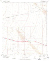
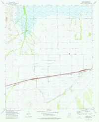
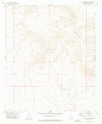
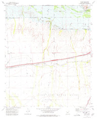
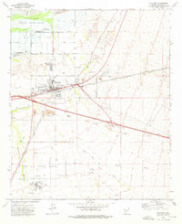 1973 Gila Bend1976 Print · USGSIn the 1970s, Gila Bend functioned as a vital desert crossroads where the railroad met expanding highways. Genealogists and researchers can trace local landmarks like San Lucy Village, Pioneer Cem, and the Gila Bend Air Force Auxiliary Field.2 unique versions available
 - 1973 Map of Cotton Center SE, 1976 Print
 1973 Cotton Center SE1976 Print · USGSThe Maricopa Mountains and the path of the historic Butterfield Stage Route define this desert landscape in the early 1970s. Trace the vital desert water sources like Hazen Well and Gap Tank that once supported travel through this arid terrain.
 - 1973 Map of Smurr, 1977 Print
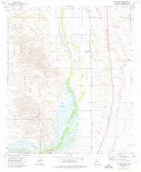
 1973 Smurr1977 Print · USGSMaricopa County's desert landscape was a study in irrigation and infrastructure during the 1970s. Trace the rail-side stops of the Southern Pacific at Smurr or explore the southern reaches of the Gila Bend Indian Reservation.
End of results
Showing maps 1-7 of 7
Top cities near Gila Bend
Frequently asked questions
- What are the different types of historical maps available for Gila Bend?
- What is the oldest map of Gila Bend?
- Where can I purchase historical maps of Gila Bend for my home or office?
- Where can I download high-res historical maps of Gila Bend?
- Are there historical topographic maps available for Gila Bend?
- Is there historical aerial imagery available for Gila Bend?
- Where are historical maps of Gila Bend sourced from?