2010s Maps of Gila Bend, Arizona
Explore 18 historic maps of Gila Bend from the 2010s. These maps offer a rare glimpse into what life looked like during the 2010s — showing old roads, neighborhoods, homes, and landmarks that have changed or disappeared over time.
Whether you're researching your family's past, planning a metal detecting trip, or studying how Gila Bend's landscape evolved across the 2010s, these high-resolution maps are a powerful tool for exploring the history of this region.
- Focus on a specific era: All maps on this page are from the 2010s, giving you a focused view of this time period.
- See what’s changed: Compare century-old streets, trails, and buildings to today's modern landscape using overlays and satellite layers.
- Research with precision: Use these maps for genealogy, historical research, land use analysis, or educational projects.
- View, download, or print: Maps are fully viewable online in high resolution, and can be downloaded or printed for your own records.
Start exploring Gila Bend's history through authentic maps from the 2010s. This is your window into the past.
Gila Bend, AZ maps
(18)- 2011 Map of Cotton Center, 2011 Print
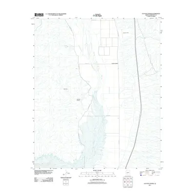 2011 Cotton Center2011 Print · USGSMaricopa County's desert lowlands are captured here in the early twenty-first century, showing the critical water systems of the Gila Valley. Genealogists and historians can trace the irrigation network of the Enterprise Canal and landmarks like Lakeside Airpark and Cotton Center.
 - 2011 Map of Cotton Center SE, 2011 Print
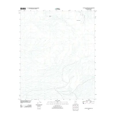 2011 Cotton Center SE2011 Print · USGSMaricopa County's arid interior is revealed here just after the turn of the millennium, showing a landscape shaped by drainage and elevation. Researchers can locate desert water sources like Fortymile Desert Tank and Gap Tank near the slopes of Sheep Mountain.
 - 2011 Map of Theba, 2011 Print
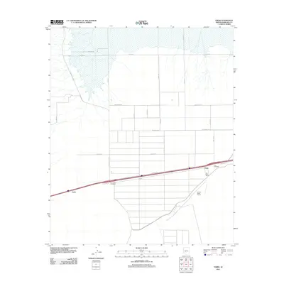 2011 Theba2011 Print · USGSArizona's Maricopa County agriculture and transit corridors are in focus during the early twenty-first century. Researchers can trace the development of the Gila River Ranch, explore the layout of Piedra, and locate landmarks like the Paloma Ranch Airport.
 - 2011 Map of Gila Bend, 2011 Print
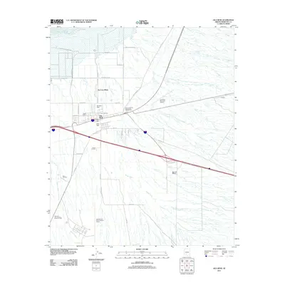 2011 Gila Bend2011 Print · USGSGila Bend at the turn of the decade remains a vital Arizona transit hub where the desert meets aviation history. Genealogists and researchers can locate Pioneer Cemetery, trace the Gila River, and explore the layout of San Lucy Village.
 - 2011 Map of Bosque, 2011 Print
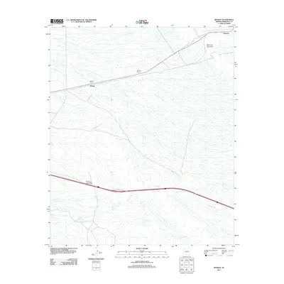 2011 Bosque2011 Print · USGSMaricopa County and the Maricopa Mountains are captured here in the early twenty-first century, documenting a landscape shaped by rail and seasonal washes. Genealogists and desert historians can trace the Bosque Cemetery and the outpost of LaPalma Corral along the desert flats.
 - 2011 Map of Smurr, 2011 Print
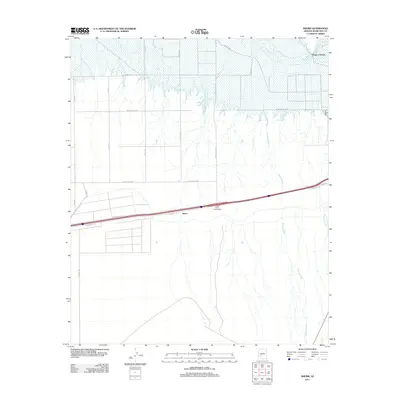 2011 Smurr2011 Print · USGSMaricopa County near Gila Bend is shown in the early twenty-first century, where desert washes meet irrigated farmland. Researchers can trace the path of Sauceda Wash toward the Gila River or locate the rural crossroads of Smurr and the Citrus Valley Interchange.
 - 2014 Map of Cotton Center SE, 2014 Print
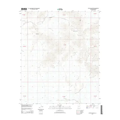 2014 Cotton Center SE2014 Print · USGSThe Sonoran desert landscape south of Phoenix is captured here in the early twenty-first century, showing the peaks and passes of the Maricopa Mountains. Modern researchers can trace the natural features of Gila Bend, from the height of Sheep Mtn to the secluded Margies Cove.
 - 2014 Map of Cotton Center, 2014 Print
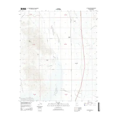 2014 Cotton Center2014 Print · USGSGila Bend and the surrounding desert irrigation projects are documented here during the early twenty-first century. Researchers can trace the paths of the Enterprise Canal, find the Lakeside Airpark, and explore the slopes of the Gila Mountains.
 - 2014 Map of Theba, 2014 Print
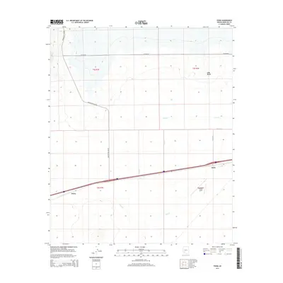 2014 Theba2014 Print · USGSThe arid flats of southern Arizona are captured here in the mid-2010s, showing the intersection of high-speed transit and rural desert life. Researchers can trace the layout of small settlements like Theba and Piedra along the Interstate 8 corridor.
 - 2014 Map of Gila Bend, 2014 Print
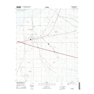 2014 Gila Bend2014 Print · USGSGila Bend and the surrounding Sonoran Desert are shown here in the early 21st century at a major crossroads of Arizona aviation and desert transit. Genealogists and local historians can trace legacy sites like Pioneer Cem, San Lucy Village, and the Gila Bend Canal.
 - 2014 Map of Bosque, 2014 Print
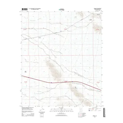 2014 Bosque2014 Print · USGSThe high desert of Maricopa County is captured here in the early twenty-first century, showing the crossroads of mountain and road. Genealogists and local historians can locate the Bosque Cem and trace the drainage of Bender Wash near the settlements of Bosque and Shawmut.
 - 2014 Map of Smurr, 2014 Print
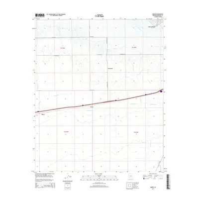 2014 Smurr2014 Print · USGSMaricopa County's desert agricultural landscape is shown here in the early twenty-first century, centered on the irrigation networks south of the river. Researchers can trace the path of the Gila Bend Canal and locate rural hubs like Smurr, Theba, and the northern reaches of Gila Bend.
 - 2018 Map of Bosque, 2018 Print
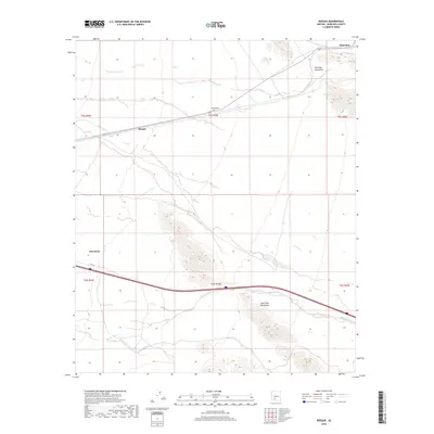 2018 Bosque2018 Print · USGSThe desert reaches of Maricopa County appear in this recent survey, centered on the historic railroad siding of Bosque. Researchers can trace the path of Bender Wash between the Maricopa Mountains and find the location of the Bosque Cem.
 - 2018 Map of Gila Bend, 2018 Print
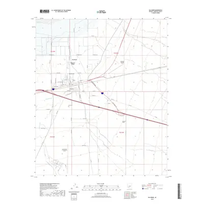 2018 Gila Bend2018 Print · USGSGila Bend is documented here in the late 2010s as a significant desert hub shaped by military aviation and historic trails. Genealogists and local historians can locate Pioneer Cem, the historic Butterfield Trl, and the residential layout of San Lucy Village.
 - 2018 Map of Theba, 2018 Print
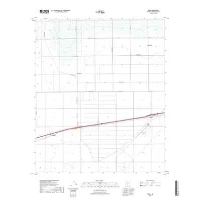 2018 Theba2018 Print · USGSMaricopa County agriculture and transit corridors are documented here in the late twenty-tens. Researchers can trace irrigation networks like Lateral A and Lateral-B alongside local settlements such as Theba and Piedra.
 - 2018 Map of Smurr, 2018 Print
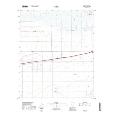 2018 Smurr2018 Print · USGSThe arid landscape around Gila Bend and Smurr is documented here as it appeared in the late 2010s. Researchers can trace irrigation networks like the Gila Bend Canal or locate historic aviation sites like Williams Auxiliary Airfield 6.
 - 2018 Map of Cotton Center, 2018 Print
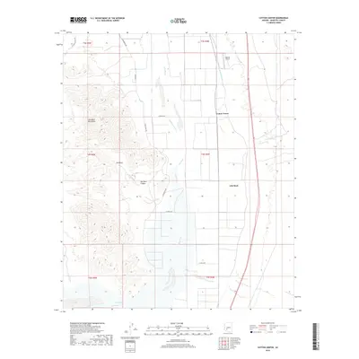 2018 Cotton Center2018 Print · USGSMaricopa County's desert agricultural corridor comes into focus here during the late 2010s. Researchers can trace the vital irrigation networks of the Gila Bend Canal near Cotton Center or locate landmarks like Lakeside Airpark.
 - 2018 Map of Cotton Center SE, 2018 Print
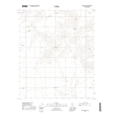 2018 Cotton Center SE2018 Print · USGSThe Maricopa Mountains and the distinctive Gila Bend area are captured here in 2018, showcasing the desert landforms of western Maricopa County. Researchers can trace the elevation of Sheep Mtn and the hydrological character of Margies Cove and Gila Bend.
End of results
Showing maps 1-18 of 18
Top cities near Gila Bend
Frequently asked questions
- What are the different types of historical maps available for Gila Bend?
- What is the oldest map of Gila Bend?
- Where can I purchase historical maps of Gila Bend for my home or office?
- Where can I download high-res historical maps of Gila Bend?
- Are there historical topographic maps available for Gila Bend?
- Is there historical aerial imagery available for Gila Bend?
- Where are historical maps of Gila Bend sourced from?