Old Maps of Scottsdale, Arizona for Academic Research
Study the evolution of Scottsdale with 72 high-resolution historic maps. Whether you're teaching, researching, or modeling changes in land use, these maps provide essential visual documentation of urban, environmental, and geographic change.
- Analyze long-term change: Track patterns in development, transportation, and natural features.
- Ideal for environmental or urban studies: Support academic projects with primary historical map data.
- Use in the classroom or lab: Educators and researchers rely on these maps to bring historical context to life.
These maps are a powerful tool for teaching, research, and visualizing how Scottsdale has changed over the decades.
Scottsdale, AZ maps
(72)- 1904 Map of Camelback
 1904 Camelback1904 Print · USGSMaricopa County is captured at the dawn of the twentieth century, showing a desert landscape before the rise of the Phoenix suburbs. Researchers can trace the foundational Arizona Canal and early landmarks like Camelback Mtn and Thompson Pk.
 - 1906 Map of Camelsback
 1906 Camelsback1906 Print · USGSArizona's high desert near Phoenix is captured here at the turn of the century, when the landscape was defined by mountain ranges and early water infrastructure. Genealogists and historians can trace the paths of the Old Verde Canal and the Arizona Canal or locate landmarks like Thompson Pk and Mountain Spring.3 unique versions available
 - 1913 Map of Mesa, 1955 Print
 1913 Mesa1955 Print · USGSMaricopa County's irrigation and early rail networks are meticulously detailed in this pre-war survey of the Salt River Valley. Genealogists can trace family names at local landmarks like Alma School, the settlement of Creamery, and the Kyrene School.
 - 1915 Map of Mesa
 1915 Mesa1915 Print · USGSMaricopa County's agricultural heartland was defined by a complex web of gravity-fed water systems before the era of modern expansion. Genealogists and historians can trace early settlements and school districts like Kyrene School, Falfa, and the Arizona State Normal School.2 unique versions available
 - 1930 Map of Cave Creek, 1959 Print
 1930 Cave Creek1959 Print · USGSThe Cave Creek and Verde River backcountry comes alive in this survey from the era of guest ranches and remote outposts. Researchers can locate early family homesteads like Lewis Ranch, trace the route to the Mormon Girl Mine, or find the original Spur Cross Dude Ranch.2 unique versions available
 - 1939 Map of Cave Creek
 1939 Cave Creek1939 Print · USGSThe Cave Creek area in the late thirties is a landscape of working cattle ranches and early desert tourism. Genealogists and historians can trace family-named outposts like Sears Kay Ranch and Browns Ranch or the historic Mormon Girl Mine.3 unique versions available
 - 1952 Map of Tempe, 1957 Print
 1952 Tempe1957 Print · USGSGreater Phoenix in the early fifties showcases a landscape defined by expansive irrigation canals and the rising campus of Arizona State College at Tempe. Genealogists and historians can trace the early borders of Scottsdale, the remote Tempe Airport, and the family plots within Guadalupe Cemetery.7 unique versions available
 - 1952 Map of Mesa, 1960 Print
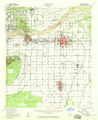 1952 Mesa1960 Print · USGSThe East Valley was a burgeoning network of irrigation canals and growing citrus towns in the early fifties. Genealogists and historians can trace old community centers like Sonora Town, Falfa, and Winfield Scott Sch alongside the early campus of Arizona State College.
 - 1954 Map of Mesa, 1968 Print
 1954 Mesa1968 Print · USGSCentral Arizona in the mid-fifties reveals the rapid growth of the Valley of the Sun alongside the deep-rooted mining districts of the eastern mountains. Genealogists and researchers can trace the expansion of Mesa and Chandler or locate legacy operations at Inspiration Mine and the Magma Arizona railroad.4 unique versions available
 - 1957 Map of Mesa
 1957 Mesa1957 Print · USGSCentral Arizona's desert valleys and high-mountain mining districts come alive in the mid-fifties. Researchers can trace the early layout of Mesa and Phoenix or locate remote sites like Inspiration Mine and Arizona State College.
 - 1958 Map of Mesa
 1958 Mesa1958 Print · USGSMid-century Arizona comes alive in this survey of the valley and high desert, where urban growth begins to transform the landscape. Genealogists and researchers can trace the rail-and-mine economy through Inspiration Mine and old stops like Rittenhouse and Magma.
 - 1958 Map of Tempe, 1968 Print
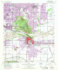 1958 Tempe1968 Print · USGSGreater Phoenix and Tempe undergo rapid transformation during the post-war era as irrigation and industry reshape the desert. Genealogists and historians can trace early campus footprints at Arizona State College at Tempe or locate St Francis Cemetery.
 - 1960 Map of Mesa
 1960 Mesa1960 Print · USGSThe Salt River Valley and Superstition wilderness are captured here during a era of rapid post-war growth. Researchers can trace the mid-century footprints of Williams AF Base and Arizona State College or locate the deep-rock shafts of the Old Dominion Mine and Magma Mine.
 - 1964 Map of Mesa
 1964 Mesa1964 Print · USGSCentral Arizona in the mid-1960s reveals a landscape defined by rapid desert urbanization and a massive copper mining industry. Genealogists and historians can trace the growth of Phoenix or explore the mining camps and operations at Miami Mine and Magma Mine.
 - 1964 Map of Humboldt Mtn., 1965 Print
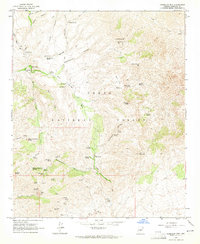 1964 Humboldt Mtn.1965 Print · USGSMaricopa County's high desert reveals its ranching and mining roots in the mid-1960s as pack trails and springs crisscross the national forest. Trace the locations of early operations like Gold Hill Mines and family outposts such as Cartwright Ranch and Sears Kay Ranch.4 unique versions available
 - 1964 Map of Currys Corner, 1965 Print
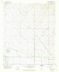 1964 Currys Corner1965 Print · USGSMaricopa County's northern desert reaches were still largely open range in the mid-sixties, punctuated by local landmarks like Currys Corner. You can trace the path of the Old Verde Canal or locate early community hubs like Paradise Valley High Sch.5 unique versions available
 - 1964 Map of Sawik Mountain, 1965 Print
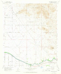 1964 Sawik Mountain1965 Print · USGSNortheastern Scottsdale and Paradise Valley are captured here in the mid-sixties, just as suburban roads began to push into the desert. Researchers can trace early landmarks like Taliesin West, ancient Petroglyphs, and the Beeline Dragway.5 unique versions available
 - 1964 Map of New River Mesa, 1965 Print
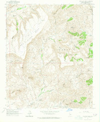 1964 New River Mesa1965 Print · USGSMaricopa County's high mesa country is captured in the mid-1960s, showcasing a landscape of isolated springs and remote mining claims. Researchers can trace the footprint of the Phoenix Mine and Maricopa Mine or locate the Ashdale Ranger Station.4 unique versions available
 - 1965 Map of Paradise Valley, 1966 Print
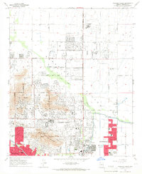 1965 Paradise Valley1966 Print · USGSParadise Valley and Scottsdale were rapidly evolving desert communities in the mid-1960s. Genealogists and local historians can trace the early suburban footprint through landmarks like Thunderbird Academy, Camelback Cem, and the Judson Sch.4 unique versions available
 - 1965 Map of Wildcat Hill, 1967 Print
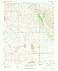 1965 Wildcat Hill1967 Print · USGSMaricopa County during the mid-1960s was still a frontier of cattle ranching and desert exploration. History hunters can trace the layout of Browns Ranch, locate remote watering holes like Bootlegger Tank, and follow old jeep trails into the Tonto National Forest.3 unique versions available
 - 1965 Map of McDowell Peak, 1967 Print
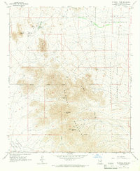 1965 McDowell Peak1967 Print · USGSThe McDowell Mountains and northern Paradise Valley appear in the mid-1960s before widespread suburban development reached the peaks. Trace the early Scottsdale Corporate Boundary near landmarks like Reata Pass and the Dixie Mine.6 unique versions available
 - 1965 Map of Cave Creek, 1967 Print
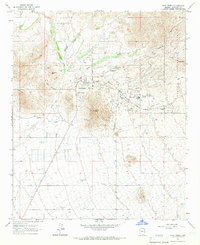 1965 Cave Creek1967 Print · USGSMid-century growth meets old Arizona mining heritage in the desert north of Phoenix. Trace the expansion of Carefree and Cave Creek alongside historic sites like the Mormon Girl Mine, Cave Creek Cemetery, and the Carefree Airfield.3 unique versions available
 - 1971 Map of McDowell Peak, 1972 Print
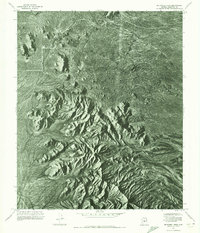 1971 McDowell Peak1972 Print · USGSThe Maricopa County desert is captured in high-detail aerial photography in the early seventies, just as the region began its modern growth. Researchers can study the untouched natural topography surrounding Mc Dowell Peak and the distinctive granite formations of Pinnacle Peak.2 unique versions available
 - 1971 Map of Currys Corner, 1972 Print
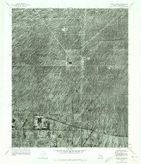 1971 Currys Corner1972 Print · USGSMaricopa County's arid landscape is captured in the early 1970s, revealing the desert prior to extensive modern development. Genealogists and local historians can trace the footprint of Currys Corner and the path of the Old Verde Canal across the desert floor.
 - 1971 Map of Paradise Valley, 1972 Print
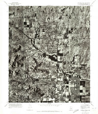 1971 Paradise Valley1972 Print · USGSThe desert landscape of Central Arizona is shown during a period of rapid suburban growth in the early seventies. Trace the evolving boundaries of Paradise Valley and Scottsdale as residential streets began to encircle Mummy Mountain.
Showing maps 1-25 of 72
Top cities near Scottsdale
- Phoenix historical maps
- Mesa historical maps
- Tempe historical maps
- Fountain Hills historical maps
- Paradise Valley historical maps
- Cave Creek historical maps
See more
Top neighborhoods of Scottsdale
- Scottsdale Estates historical maps
- Sweetwater Ranch historical maps
- Pinnacle Peak Estates III historical maps
- 5th Avenue Shops & Boutiques historical maps
- Reata Pass historical maps
- Carefree Foothills historical maps
See more
Frequently asked questions
- What are the different types of historical maps available for Scottsdale?
- What is the oldest map of Scottsdale?
- Where can I purchase historical maps of Scottsdale for my home or office?
- Where can I download high-res historical maps of Scottsdale?
- Are there historical topographic maps available for Scottsdale?
- Is there historical aerial imagery available for Scottsdale?
- Where are historical maps of Scottsdale sourced from?