2000s (21st Century) Maps of Scottsdale, Arizona
Explore 43 historic maps of Scottsdale from the 2000s (21st Century). These maps offer a rare glimpse into what life looked like during the 2000s — showing old roads, neighborhoods, homes, and landmarks that have changed or disappeared over time.
Whether you're researching your family's past, planning a metal detecting trip, or studying how Scottsdale's landscape evolved across the 2000s, these high-resolution maps are a powerful tool for exploring the history of this region.
- Focus on a specific era: All maps on this page are from the 2000s, giving you a focused view of this time period.
- See what’s changed: Compare century-old streets, trails, and buildings to today's modern landscape using overlays and satellite layers.
- Research with precision: Use these maps for genealogy, historical research, land use analysis, or educational projects.
- View, download, or print: Maps are fully viewable online in high resolution, and can be downloaded or printed for your own records.
Start exploring Scottsdale's history through authentic maps from the 2000s. This is your window into the past.
Scottsdale, AZ maps
(43)- 2004 Map of New River Mesa, 2006 Print
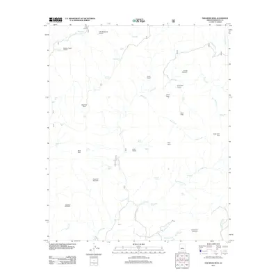
 2004 New River Mesa2006 Print · USGSThe high mesas of Maricopa County are shown here in the early 2000s, documenting a landscape of mining claims and forest land. Trace the history of desert prospecting at the Phoenix Mine or follow old routes like the Skunk Cave Trail past Elephant Mountain.
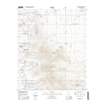
 - 2004 Map of Humboldt Mountain, 2006 Print
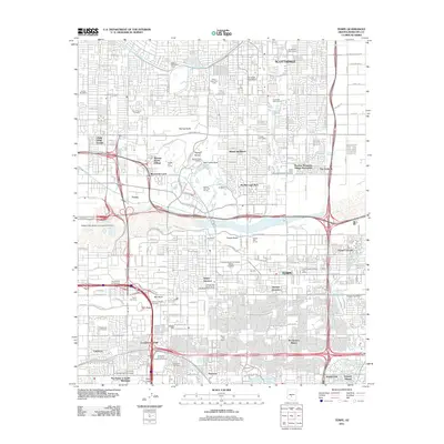
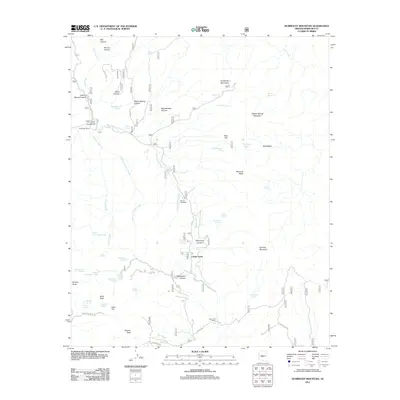
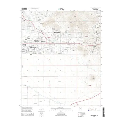
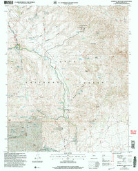 2004 Humboldt Mountain2006 Print · USGSMaricopa County's rugged backcountry is shown at the turn of the millennium, detailing a landscape where historical ranching and modern recreation intersect. Researchers can trace the footprints of Cartwright Ranch, find the Lookout Tower atop Humboldt Mountain, and locate springs like Seven Springs.
 - 2004 Map of McDowell Peak, 2007 Print
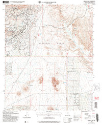
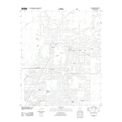
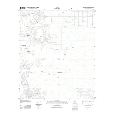
 2004 McDowell Peak2007 Print · USGSThe McDowell Mountains and Scottsdale foothills are captured here during a period of rapid development and recreational expansion. You can trace the proximity of newer sites like the Arabian Library to older landmarks such as Dixie Mine and Reata Pass.
 - 2004 Map of Wildcat Hill, 2007 Print
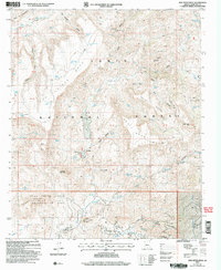
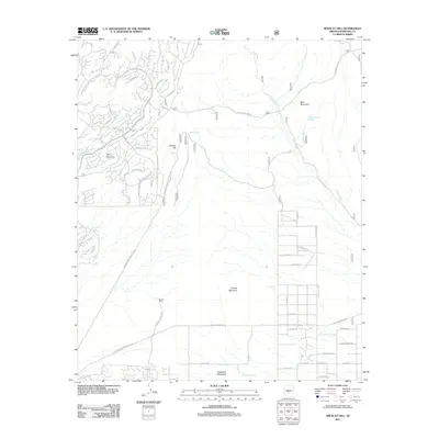
 2004 Wildcat Hill2007 Print · USGSThe high desert of Maricopa County is captured here in the early 2000s, showing the intersection of ranching history and modern recreation. Researchers can trace the layout of Browns Ranch and Cave Creek, or locate landmarks like Wildcat Hill and Bootlegger Tank.
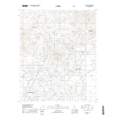
 - 2004 Map of Cave Creek, 2007 Print
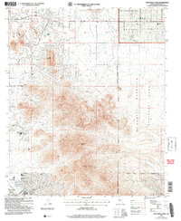
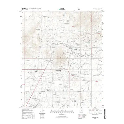
 2004 Cave Creek2007 Print · USGSThe northern reaches of the Phoenix valley are captured here at the turn of the millennium, showing a unique mix of high-desert residential growth and historic mining sites. Trace the layout of early-2000s developments like Tatum Ranch alongside older markers like the Mormon Girl Mine and Cave Creek Cemetery.
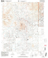
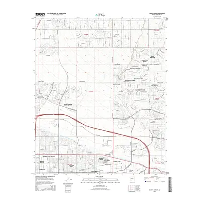
 - 2011 Map of Currys Corner, 2011 Print
 2011 Currys Corner2011 Print · USGSCovers Scottsdale, including Phoenix, Maricopa County, and other nearby areas
 - 2011 Map of Tempe, 2011 Print
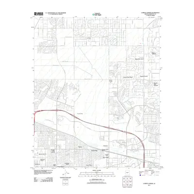
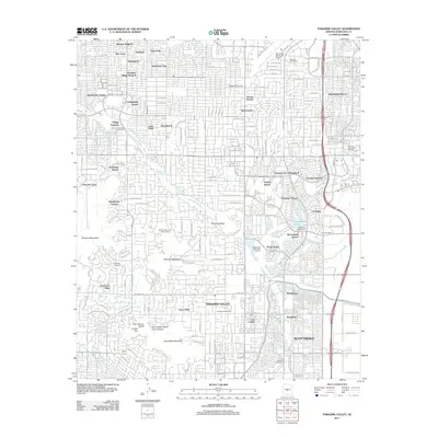
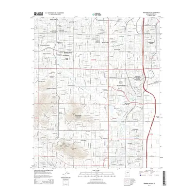
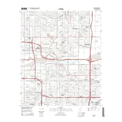
 2011 Tempe2011 Print · USGSCovers Scottsdale, including Phoenix, Mesa, and other nearby areas
 - 2011 Map of Sawik Mountain, 2011 Print
 2011 Sawik Mountain2011 Print · USGSCovers Scottsdale, including Fountain Hills, Maricopa County, and other nearby areas
 - 2011 Map of Cave Creek, 2011 Print
 2011 Cave Creek2011 Print · USGSCovers Scottsdale, including Phoenix, Cave Creek, and other nearby areas
 - 2011 Map of Wildcat Hill, 2011 Print
 2011 Wildcat Hill2011 Print · USGSCovers Scottsdale, including Carefree, Maricopa County, and other nearby areas
 - 2011 Map of Humboldt Mountain, 2011 Print
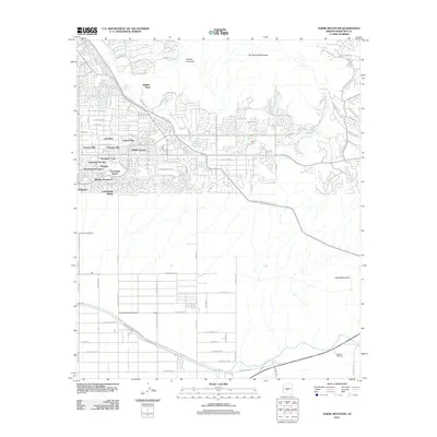
 2011 Humboldt Mountain2011 Print · USGSCovers Scottsdale, including Maricopa County, United States, and other nearby areas
 - 2011 Map of Paradise Valley, 2011 Print
 2011 Paradise Valley2011 Print · USGSCovers Scottsdale, including Phoenix, Paradise Valley, and other nearby areas
 - 2011 Map of McDowell Peak, 2011 Print
 2011 McDowell Peak2011 Print · USGSCovers Scottsdale, including Fountain Hills, Maricopa County, and other nearby areas
 - 2011 Map of New River Mesa, 2011 Print
 2011 New River Mesa2011 Print · USGSCovers Scottsdale, including Cave Creek, Maricopa County, and other nearby areas
 - 2014 Map of Cave Creek, 2014 Print
 2014 Cave Creek2014 Print · USGSCovers Scottsdale, including Phoenix, Cave Creek, and other nearby areas
 - 2014 Map of Paradise Valley, 2014 Print
 2014 Paradise Valley2014 Print · USGSCovers Scottsdale, including Phoenix, Paradise Valley, and other nearby areas
 - 2014 Map of Humboldt Mountain, 2014 Print
 2014 Humboldt Mountain2014 Print · USGSCovers Scottsdale, including Maricopa County, United States, and other nearby areas
 - 2014 Map of New River Mesa, 2014 Print
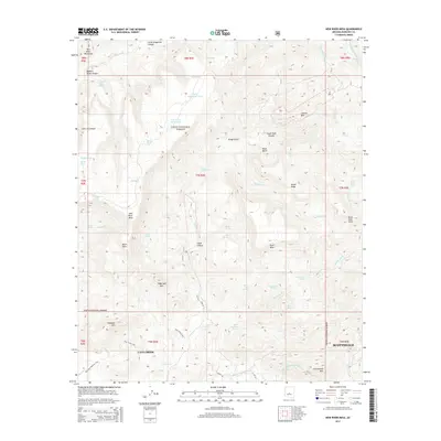 2014 New River Mesa2014 Print · USGSCovers Scottsdale, including Cave Creek, Maricopa County, and other nearby areas
 - 2014 Map of Wildcat Hill, 2014 Print
 2014 Wildcat Hill2014 Print · USGSCovers Scottsdale, including Carefree, Maricopa County, and other nearby areas
 - 2014 Map of Tempe, 2014 Print
 2014 Tempe2014 Print · USGSCovers Scottsdale, including Phoenix, Mesa, and other nearby areas
 - 2014 Map of Sawik Mountain, 2014 Print
 2014 Sawik Mountain2014 Print · USGSCovers Scottsdale, including Fountain Hills, Maricopa County, and other nearby areas
 - 2014 Map of Currys Corner, 2014 Print
 2014 Currys Corner2014 Print · USGSCovers Scottsdale, including Phoenix, Maricopa County, and other nearby areas
 - 2014 Map of McDowell Peak, 2014 Print
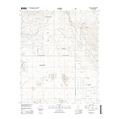
 2014 McDowell Peak2014 Print · USGSCovers Scottsdale, including Fountain Hills, Maricopa County, and other nearby areas
 - 2018 Map of New River Mesa, 2018 Print
 2018 New River Mesa2018 Print · USGSCovers Scottsdale, including Cave Creek, Maricopa County, and other nearby areas
 - 2018 Map of Cave Creek, 2018 Print
 2018 Cave Creek2018 Print · USGSCovers Scottsdale, including Phoenix, Cave Creek, and other nearby areas
Showing maps 1-25 of 43
Top cities near Scottsdale
- Phoenix historical maps
- Mesa historical maps
- Tempe historical maps
- Fountain Hills historical maps
- Paradise Valley historical maps
- Cave Creek historical maps
See more
Top neighborhoods of Scottsdale
- Scottsdale Estates historical maps
- Sweetwater Ranch historical maps
- Pinnacle Peak Estates III historical maps
- 5th Avenue Shops & Boutiques historical maps
- Reata Pass historical maps
- Carefree Foothills historical maps
See more
Frequently asked questions
- What are the different types of historical maps available for Scottsdale?
- What is the oldest map of Scottsdale?
- Where can I purchase historical maps of Scottsdale for my home or office?
- Where can I download high-res historical maps of Scottsdale?
- Are there historical topographic maps available for Scottsdale?
- Is there historical aerial imagery available for Scottsdale?
- Where are historical maps of Scottsdale sourced from?