Old Maps of Holbrook, Arizona for Metal Detecting
Plan your next treasure hunt with 20 historic maps of Holbrook. Find old homesites, ghost towns, trails, and gathering spots that may be lost to time — perfect for identifying promising metal detecting locations.
- Locate forgotten sites: Uncover places like long-lost settlements, abandoned rail lines, or gathering spots.
- Plan better hunts: Use map overlays combined with LiDAR or satellite views to narrow in on historically rich areas.
- Made for detectorists: Thousands of hobbyists use these maps to discover relics, coins, and hidden history.
Use these historic maps to boost your research and find new opportunities beneath the surface of Holbrook.
Holbrook, AZ maps
(20)- 1886 Map of Holbrook
 1886 Holbrook1886 Print · USGSArizona's high desert and the Mogollon Rim frontier are captured here in the late nineteenth century during the height of early pioneer settlement. Trace the growth of river towns like Holbrook and Snowflake or locate remote outposts such as Wilford, Adair, and Heber.
 - 1893 Map of Holbrook
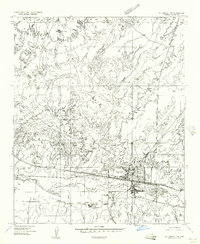
 1893 Holbrook1893 Print · USGSNortheastern Arizona in the 1880s reveals a landscape of nascent ranching towns and deep canyon systems along the high plateau. Genealogists and historians can trace the early footprints of Holbrook, Snowflake, and Showlow as they appeared before the turn of the century.4 unique versions available
 - 1954 Map of Holbrook, 1966 Print
 1954 Holbrook1966 Print · USGSNorth-central Arizona is seen here during the mid-fifties, from the high plateau of the Mogollon Rim to the Verde Valley. Researchers can trace the early growth of Holbrook, locate remote camps like Happy Jack, and explore the roads around Montezuma Castle National Monument.3 unique versions available
 - 1955 Map of St. Joseph 1 NW, 1957 Print
 1955 St. Joseph 1 NW1957 Print · USGSHolbrook emerged as a vital rail and river hub in the mid-1950s, serving the high desert of Navajo County. Genealogists and local historians can trace the town's growth along the Atchison Topeka and Santa Fe railroad and locate landmarks like the Navajo Mission School and Penzance.
 - 1955 Map of Holbrook, 1959 Print
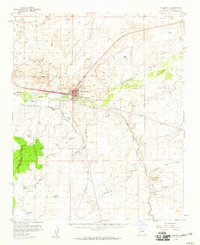 1955 Holbrook1959 Print · USGSHolbrook and the surrounding Navajo County high desert are captured here in the mid-1950s during a period of transition and growth. Genealogists and historians can trace rail-side stops like Penzance and Arntz, or locate institutions such as the Yalta Indian School and Navajo Mission School.2 unique versions available
 - 1957 Map of Holbrook
 1957 Holbrook1957 Print · USGSNorthern Arizona in the mid-fifties is defined by the high-plateau timberlands and the bustling rail corridor of the Little Colorado River valley. Genealogists and historians can trace the route of U.S. 66 through Holbrook or locate more remote outposts like Zeniff and Aripine.
 - 1958 Map of Holbrook
 1958 Holbrook1958 Print · USGSNortheastern Arizona's high country is captured here during the mid-fifties, showing the growth of mountain towns and timber lands. Researchers can trace the Atchison Topeka & Santa Fe RR through Holbrook or find vanished spots like Zeniff.
 - 1960 Map of Holbrook
 1960 Holbrook1960 Print · USGSNorthern Arizona is captured here just as modern highways began to reshape the cattle and timber country of the Colorado Plateau. Genealogists and historians can trace the early footprints of Snowflake, Sedona, and Payson, alongside the Atchison Topeka & Santa Fe RR rail line.
 - 1980 Map of Holbrook, 1996 Print
 1980 Holbrook1996 Print · USGSHolbrook and the surrounding Navajo County high desert are captured here in the early eighties, showcasing a landscape of rail-driven commerce and ranching. Researchers can trace the Atchison Topeka and Santa Fe RR through Penzance or locate historical points like Mormon Crossing and Rock Station.2 unique versions available
 - 1986 Map of Holbrook
 1986 Holbrook1986 Print · USGSHolbrook is captured here in the mid-eighties as a critical high-desert hub along the Little Colorado River. Genealogists and local historians can trace the town's footprint from the Fairground and Cem to the nearby settlement of Penzance.2 unique versions available
 - 1986 Map of Porter Canyon
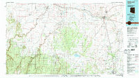
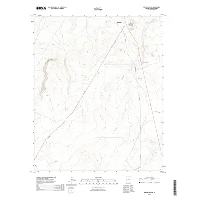
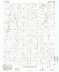 1986 Porter Canyon1986 Print · USGSNavajo County ranching and utility landscapes are documented in the mid-1980s. Genealogists and historians can trace old resource sites like the Oil Drill Hole and Quarry, or find cattle-era landmarks like the Heber Road Tank.
 - 2011 Map of Porter Canyon, 2011 Print
 2011 Porter Canyon2011 Print · USGSCovers Holbrook, including Navajo County, United States, and other nearby areas
 - 2011 Map of Holbrook, 2011 Print
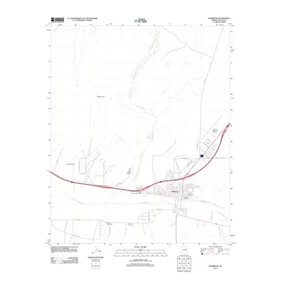 2011 Holbrook2011 Print · USGSCovers Holbrook, including Sierra Plaza subdivision, Clearview Heights, and other nearby areas
 - 2014 Map of Porter Canyon, 2014 Print
 2014 Porter Canyon2014 Print · USGSCovers Holbrook, including Navajo County, United States, and other nearby areas
 - 2014 Map of Holbrook, 2014 Print
 2014 Holbrook2014 Print · USGSCovers Holbrook, including Sierra Plaza subdivision, Clearview Heights, and other nearby areas
 - 2018 Map of Holbrook, 2018 Print
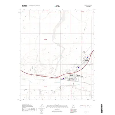 2018 Holbrook2018 Print · USGSCovers Holbrook, including Sierra Plaza subdivision, Clearview Heights, and other nearby areas
 - 2018 Map of Porter Canyon, 2018 Print
 2018 Porter Canyon2018 Print · USGSCovers Holbrook, including Navajo County, United States, and other nearby areas
 - 2021 Map of Holbrook, 2021 Print
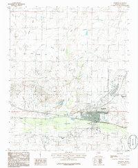
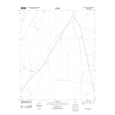
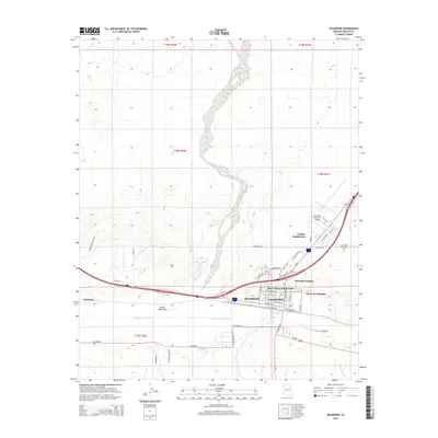
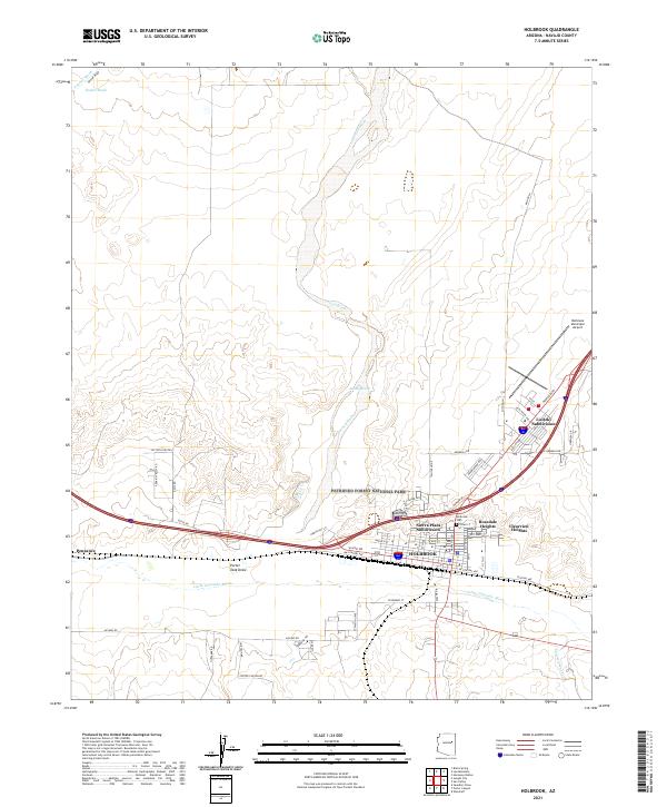 2021 Holbrook2021 Print · USGSModern Navajo County comes into focus in this contemporary survey of the Holbrook area and the gateway to Petrified Forest National Park. Genealogists and historians can trace residential growth in the Sierra Plaza Subdivision or locate the Holbrook Cem near the Little Colorado River.
 - 2021 Map of Porter Canyon, 2021 Print
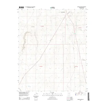
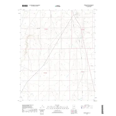
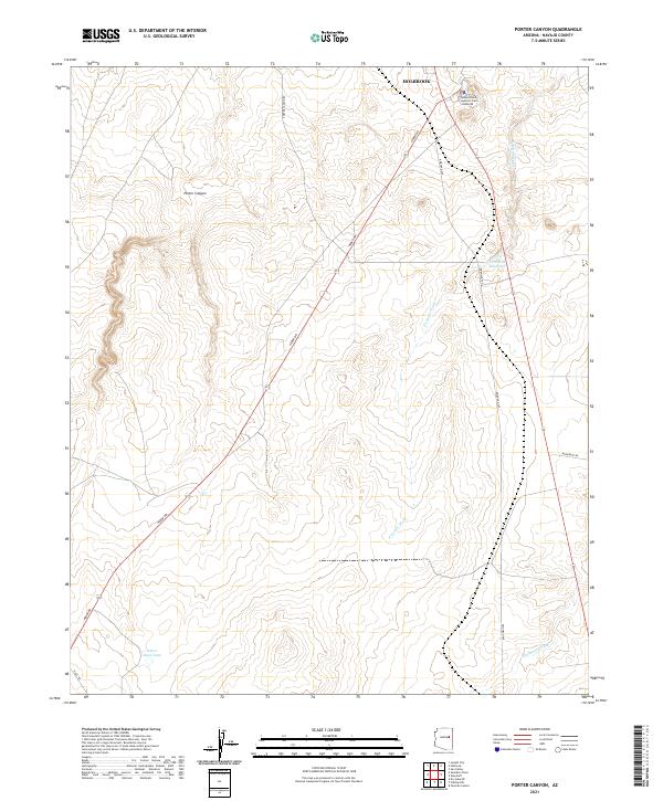 2021 Porter Canyon2021 Print · USGSNavajo County's high-desert landscape near the county seat is captured here in the early twenty-first century. Researchers can trace the rural infrastructure of the region through landmarks like the Navajo County Superior Court and the Five Mile Reservoir.
 - 2026 Map of Porter Canyon, 2026 Print
 2026 Porter Canyon2026 Print · USGSCovers Holbrook, including Navajo County, United States, and other nearby areas
End of results
Showing maps 1-20 of 20
Top cities near Holbrook
Top neighborhoods of Holbrook
- Sierra Plaza subdivision historical maps
- Clearview Heights historical maps
- Lisitzky Subdivision historical maps
- Rosedale Heights historical maps
Frequently asked questions
- What are the different types of historical maps available for Holbrook?
- What is the oldest map of Holbrook?
- Where can I purchase historical maps of Holbrook for my home or office?
- Where can I download high-res historical maps of Holbrook?
- Are there historical topographic maps available for Holbrook?
- Is there historical aerial imagery available for Holbrook?
- Where are historical maps of Holbrook sourced from?