2000s (21st Century) Maps of Hickiwan, Arizona
Explore 89 historic maps of Hickiwan from the 2000s (21st Century). These maps offer a rare glimpse into what life looked like during the 2000s — showing old roads, neighborhoods, homes, and landmarks that have changed or disappeared over time.
Whether you're researching your family's past, planning a metal detecting trip, or studying how Hickiwan's landscape evolved across the 2000s, these high-resolution maps are a powerful tool for exploring the history of this region.
- Focus on a specific era: All maps on this page are from the 2000s, giving you a focused view of this time period.
- See what’s changed: Compare century-old streets, trails, and buildings to today's modern landscape using overlays and satellite layers.
- Research with precision: Use these maps for genealogy, historical research, land use analysis, or educational projects.
- View, download, or print: Maps are fully viewable online in high resolution, and can be downloaded or printed for your own records.
Start exploring Hickiwan's history through authentic maps from the 2000s. This is your window into the past.
Hickiwan, AZ maps
(89)- 2011 Map of Moivayi, 2011 Print
 2011 Moivayi2011 Print · USGSCovers Hickiwan, including Moivayi, Maricopa County, and other nearby areas
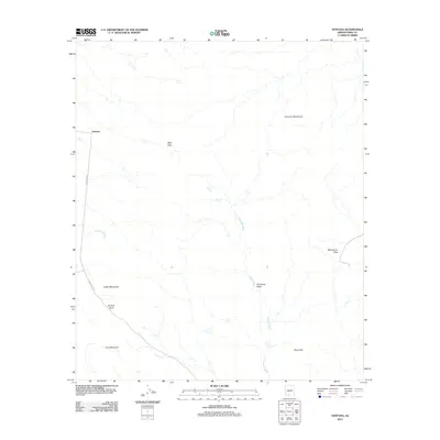
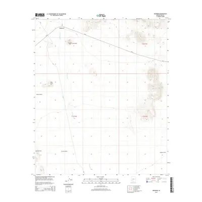
 - 2011 Map of West of Ventana, 2011 Print
 2011 West of Ventana2011 Print · USGSCovers Hickiwan, including Pima County, United States, and other nearby areas
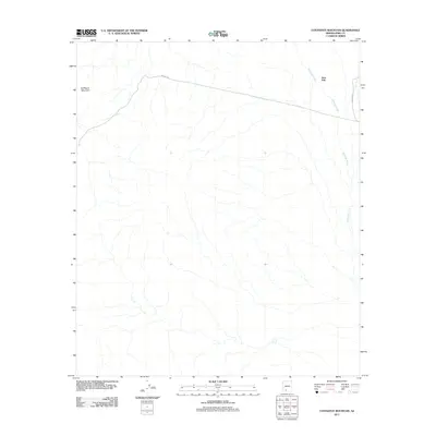
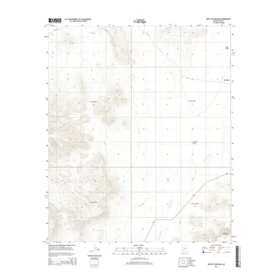
 - 2011 Map of Window Mountain, 2011 Print
 2011 Window Mountain2011 Print · USGSCovers Hickiwan, including Sif Oidak District, Pisinemo District, and other nearby areas
 - 2011 Map of West of Wahak Hotrontk, 2011 Print
 2011 West of Wahak Hotrontk2011 Print · USGSCovers Hickiwan, including Pisinemo District, Gu Vo District, and other nearby areas
 - 2011 Map of Hickiwan, 2011 Print
 2011 Hickiwan2011 Print · USGSCovers Hickiwan, including Pisinemo District, Gu Achi District, and other nearby areas
 - 2011 Map of Johnson Well, 2011 Print
 2011 Johnson Well2011 Print · USGSCovers Hickiwan, including Sif Oidak District, Maricopa County, and other nearby areas
 - 2011 Map of Burro Gap, 2011 Print
 2011 Burro Gap2011 Print · USGSCovers Hickiwan, including Pima County, United States, and other nearby areas
 - 2011 Map of Sikort Chuapo, 2011 Print
 2011 Sikort Chuapo2011 Print · USGSCovers Hickiwan, including Why, Sikort Chuapo, and other nearby areas
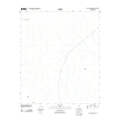
 - 2011 Map of Coffeepot Mountain, 2011 Print
 2011 Coffeepot Mountain2011 Print · USGSCovers Hickiwan, including Stoa Pitk, Pima County, and other nearby areas
 - 2011 Map of Ventana, 2011 Print
 2011 Ventana2011 Print · USGSCovers Hickiwan, including Ventana, Sif Oidak District, and other nearby areas
 - 2011 Map of Gakolik Mountains, 2011 Print
 2011 Gakolik Mountains2011 Print · USGSCovers Hickiwan, including Charco, Pima County, and other nearby areas
 - 2011 Map of Ajo South, 2011 Print
 2011 Ajo South2011 Print · USGSCovers Hickiwan, including Mexican Town, Rowood, and other nearby areas
 - 2011 Map of Gunsight, 2011 Print
 2011 Gunsight2011 Print · USGSCovers Hickiwan, including Gu Vo District, Schuchuligk, and other nearby areas
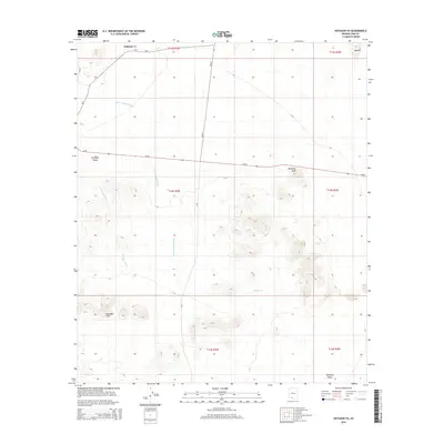
 - 2011 Map of Hotason Vo, 2011 Print
 2011 Hotason Vo2011 Print · USGSCovers Hickiwan, including Gu Vo District, Hotason Vo, and other nearby areas
 - 2011 Map of Cimarron Peak, 2011 Print
 2011 Cimarron Peak2011 Print · USGSCovers Hickiwan, including Pima County, United States, and other nearby areas
 - 2011 Map of Copperosity Hills, 2011 Print
 2011 Copperosity Hills2011 Print · USGSCovers Hickiwan, including Chiapuk, Sif Oidak District, and other nearby areas
 - 2011 Map of Vaya Chin, 2011 Print
 2011 Vaya Chin2011 Print · USGSCovers Hickiwan, including Vaya Chin, Pisinemo District, and other nearby areas
 - 2011 Map of Tom Thumb, 2011 Print
 2011 Tom Thumb2011 Print · USGSCovers Hickiwan, including Chiulikam, Maricopa County, and other nearby areas
 - 2011 Map of Childs Mountain, 2011 Print
 2011 Childs Mountain2011 Print · USGSCovers Hickiwan, including Pima County, United States, and other nearby areas
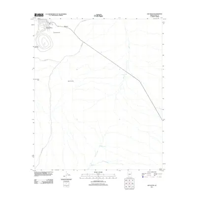
 - 2011 Map of Ajo North, 2011 Print
 2011 Ajo North2011 Print · USGSCovers Hickiwan, including Ajo, Childs, and other nearby areas
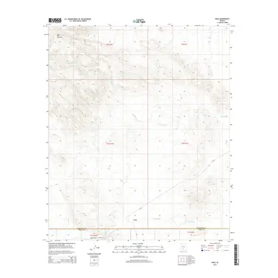
 - 2011 Map of Kaka, 2011 Print
 2011 Kaka2011 Print · USGSCovers Hickiwan, including Kaka, Sif Oidak District, and other nearby areas
 - 2014 Map of Kaka, 2014 Print
 2014 Kaka2014 Print · USGSCovers Hickiwan, including Kaka, Sif Oidak District, and other nearby areas
 - 2014 Map of Hotason Vo, 2014 Print
 2014 Hotason Vo2014 Print · USGSCovers Hickiwan, including Gu Vo District, Hotason Vo, and other nearby areas
 - 2014 Map of West of Ventana, 2014 Print
 2014 West of Ventana2014 Print · USGSCovers Hickiwan, including Pima County, United States, and other nearby areas
 - 2014 Map of Hickiwan, 2014 Print
 2014 Hickiwan2014 Print · USGSCovers Hickiwan, including Pisinemo District, Gu Achi District, and other nearby areas
Showing maps 1-25 of 89
Top neighborhoods of Hickiwan
- Ventana historical maps
- Chiulikam historical maps
- Moivayi historical maps
- Stoa Pitk historical maps
- Hotason Vo historical maps
- Kaka historical maps
See more
Frequently asked questions
- What are the different types of historical maps available for Hickiwan?
- What is the oldest map of Hickiwan?
- Where can I purchase historical maps of Hickiwan for my home or office?
- Where can I download high-res historical maps of Hickiwan?
- Are there historical topographic maps available for Hickiwan?
- Is there historical aerial imagery available for Hickiwan?
- Where are historical maps of Hickiwan sourced from?