2020s Maps of Sahuarita, Arizona
Explore 5 historic maps of Sahuarita from the 2020s. These maps offer a rare glimpse into what life looked like during the 2020s — showing old roads, neighborhoods, homes, and landmarks that have changed or disappeared over time.
Whether you're researching your family's past, planning a metal detecting trip, or studying how Sahuarita's landscape evolved across the 2020s, these high-resolution maps are a powerful tool for exploring the history of this region.
- Focus on a specific era: All maps on this page are from the 2020s, giving you a focused view of this time period.
- See what’s changed: Compare century-old streets, trails, and buildings to today's modern landscape using overlays and satellite layers.
- Research with precision: Use these maps for genealogy, historical research, land use analysis, or educational projects.
- View, download, or print: Maps are fully viewable online in high resolution, and can be downloaded or printed for your own records.
Start exploring Sahuarita's history through authentic maps from the 2020s. This is your window into the past.
Sahuarita, AZ maps
(5)- 2021 Map of Twin Buttes, 2021 Print
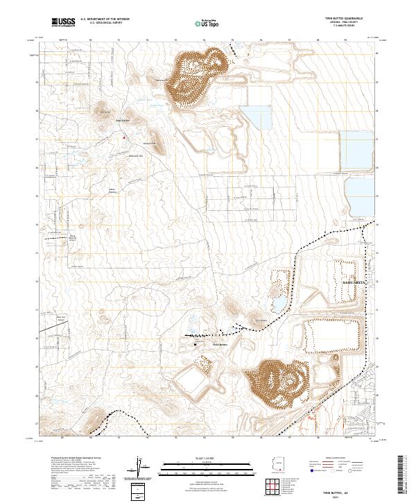 2021 Twin Buttes2021 Print · USGSPima County south of Tucson shows a unique blend of desert aviation communities and prominent mining-era landmarks in the early twenty-first century. Researchers can trace family history at the Twin Buttes Cem or explore the geography around Helmet Peak and Indian Kitchen.
 - 2021 Map of Tucson SW, 2021 Print
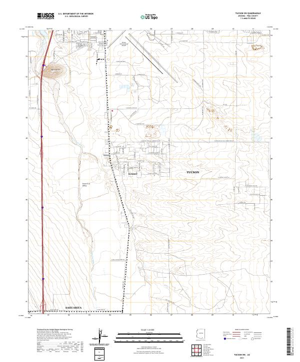 2021 Tucson SW2021 Print · USGSThe Santa Cruz Valley south of Tucson comes into sharp focus during this period of suburban and industrial expansion. Genealogists and local historians can trace modern property lines and infrastructure near Summit, the Tucson International Airport, and Martinez Hill.
 - 2021 Map of Sahuarita, 2021 Print
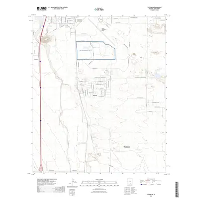
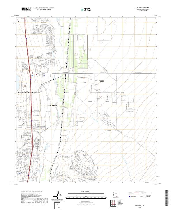 2021 Sahuarita2021 Print · USGSThe Santa Cruz River corridor south of Tucson shows rapid residential growth and desert infrastructure in the early twenty-first century. Researchers can trace local development across Sahuarita, East Sahuarita, and the settlement at Duval.
 - 2021 Map of Green Valley, 2021 Print
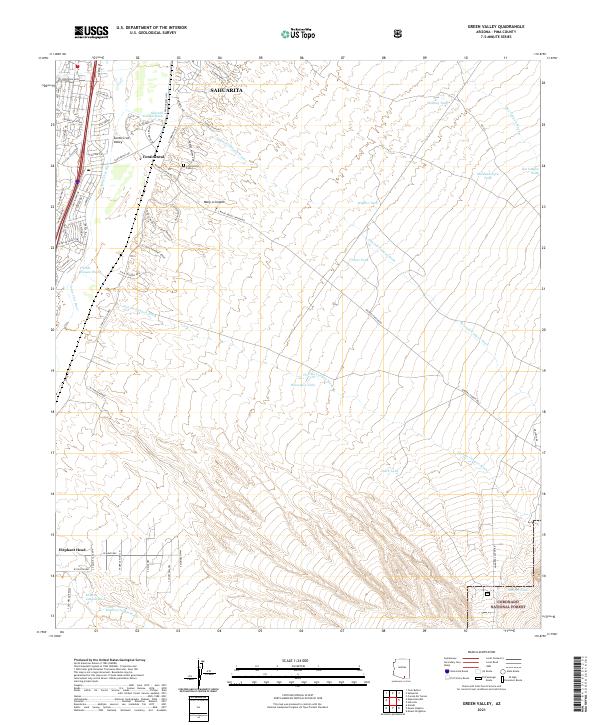 2021 Green Valley2021 Print · USGSArizona's Santa Cruz Valley is documented here in the early 2020s, showing the modern suburban growth of Sahuarita and Continental. Researchers can locate Continental Cem or trace the desert washes from Elephant Head into the Coronado National Forest.
 - 2026 Map of Tucson SW, 2026 Print
 2026 Tucson SW2026 Print · USGSCovers Sahuarita, including Tucson, Summit, and other nearby areas
End of results
Showing maps 1-5 of 5
Top cities near Sahuarita
Top neighborhoods of Sahuarita
Frequently asked questions
- What are the different types of historical maps available for Sahuarita?
- What is the oldest map of Sahuarita?
- Where can I purchase historical maps of Sahuarita for my home or office?
- Where can I download high-res historical maps of Sahuarita?
- Are there historical topographic maps available for Sahuarita?
- Is there historical aerial imagery available for Sahuarita?
- Where are historical maps of Sahuarita sourced from?