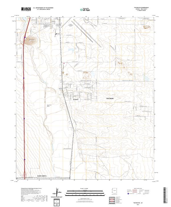
2021 Map of Tucson SW
USGS Topo · Published 2021About this map
Santa Cruz Valley dominates the western portion of this 2021 landscape, where the ephemeral Santa Cruz River winds northward past the prominent Martinez Hill. This desert corridor reflects the heavy influence of aviation and industry on the outskirts of Tucson, centered around the extensive grounds of the Tucson International Airport and the Pima Community College Aviation Technology Center.
Find a feature on this map
72 named features on this map. Tap any name to fly to it.
Don’t see what you’re looking for? This feature index may not catch every label — zoom into the map to look around manually.
Map Details
Editions of this 2021 Tucson SW Map
This is the sole edition of this map. No revisions or reprints were ever made.
Other maps of this area

1904 · Patagonia
USGS Topo · 1:125,000

1904 · Tucson
USGS Topo · 1:125,000

1905 · Patagonia
USGS Topo · 1:125,000

1905 · Tucson
USGS Topo · 1:125,000

1920 · Arivaca
USGS Topo · 1:125,000

1925 · Samaniego Peak
USGS Topo · 1:62,500

1925 · San Xavier
USGS Topo · 1:62,500

1926 · Helvetia
USGS Topo · 1:62,500

1934 · Tucson Mountains
USGS Topo · 1:125,000

1939 · Twin Buttes
USGS Topo · 1:62,500