Old Maps of Duval, Sahuarita for Academic Research
Study the evolution of Duval with 13 high-resolution historic maps. Whether you're teaching, researching, or modeling changes in land use, these maps provide essential visual documentation of urban, environmental, and geographic change.
- Analyze long-term change: Track patterns in development, transportation, and natural features.
- Ideal for environmental or urban studies: Support academic projects with primary historical map data.
- Use in the classroom or lab: Educators and researchers rely on these maps to bring historical context to life.
These maps are a powerful tool for teaching, research, and visualizing how Duval has changed over the decades.
Duval, Sahuarita maps
(13)- 1904 Map of Patagonia, 1955 Print
 1904 Patagonia1955 Print · USGSArizona's mining and ranching frontiers are at their peak in this early century survey of the Santa Rita Mountains. Genealogists and historians can trace family operations at the Empire Ranch or the Total Wreck Mine, and locate the site of Old Ft Crittenden.
 - 1905 Map of Patagonia
 1905 Patagonia1905 Print · USGSSouthern Arizona’s mining and ranching frontier is captured here at the start of the twentieth century. Genealogists and historians can trace numerous family homesteads and active mining sites, from Empire Ranch and Helvetia to the curiously named Total Wreck Mine.4 unique versions available
 - 1926 Map of Helvetia
 1926 Helvetia1926 Print · USGSSouthern Arizona in the mid-twenties shows a landscape of cattle ranches and high-desert outposts. Researchers can trace family-named sites like Stone's Ranch and Mc Cleary's Ranch or explore early settlements such as Helvetia and Greaterville.
 - 1956 Map of Nogales, 1963 Print
 1956 Nogales1963 Print · USGSSouthern Arizona in the mid-fifties is captured here from the Papago tribal lands to the San Pedro valley. Genealogists and historians can trace border settlements like Sasabe, the legacy of Tombstone, and old mining sites including the Mary G Mine.4 unique versions available
 - 1958 Map of Nogales
 1958 Nogales1958 Print · USGSSouthern Arizona in the late fifties was a landscape of international borders and high-desert outposts, dominated by the Huachuca Mountains and the Papago Indian Reservation. Local historians can trace old mining camps like Ruby and Greaterville or locate historic military grounds at the Fort Huachuca Military Reservation.
 - 1958 Map of Sahuarita, 1959 Print
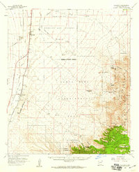 1958 Sahuarita1959 Print · USGSThe Pima County desert and mountain foothills come into focus in the late fifties, showing the expanding reach of federal land use. Researchers can locate family ranches like Johnson Ranch and historic mining sites near Helvetia or the settlement of Greaterville.3 unique versions available
 - 1959 Map of Nogales
 1959 Nogales1959 Print · USGSThe Southern Arizona borderlands appear in the late fifties as a complex landscape of military ranges, tribal lands, and high-desert mining towns. Local historians can trace the Southern Pacific rail lines connecting Tombstone and Benson or locate family ranches such as Canoa Ranch.
 - 1981 Map of Sahuarita, 1982 Print
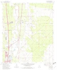 1981 Sahuarita1982 Print · USGSThe Santa Cruz Valley in the early eighties reveals a desert landscape transitioning from ranching to mining and suburban development. Genealogists and historians can trace the growth of Sahuarita and Green Valley alongside the Southern Pacific rails.2 unique versions available
 - 1994 Map of Fort Huachuca
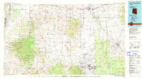 1994 Fort Huachuca1994 Print · USGSSouthern Arizona in the mid-nineties shows a landscape of expansive military reservations, historic land grants, and storied mining districts. Researchers can trace the S P RR through the San Pedro River valley or locate dozens of remote mountain workings like the Montezuma Mine and Eureka Mine.3 unique versions available
 - 2012 Map of Sahuarita, 2012 Print
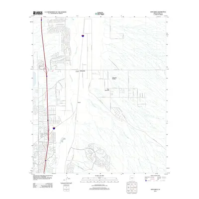 2012 Sahuarita2012 Print · USGSSahuarita in the early 2010s shows a landscape of desert ranching heritage rapidly transitioning into modern residential suburbs. Researchers can trace local development through the Sahuarita Post Office, the community of Duval, and the drainage of the Santa Cruz River.
 - 2014 Map of Sahuarita, 2014 Print
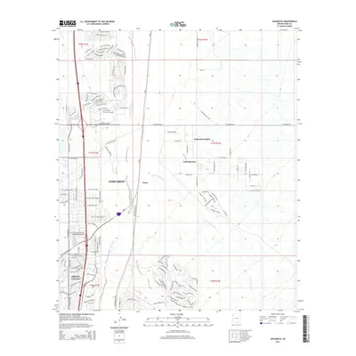 2014 Sahuarita2014 Print · USGSThe Santa Cruz Valley in the early 2010s shows a landscape of rapid suburban expansion alongside desert washes. Trace the growth of Sahuarita and Green Valley, or find landmarks like the Green Valley Mortuary and Memorial Gardens.
 - 2018 Map of Sahuarita, 2018 Print
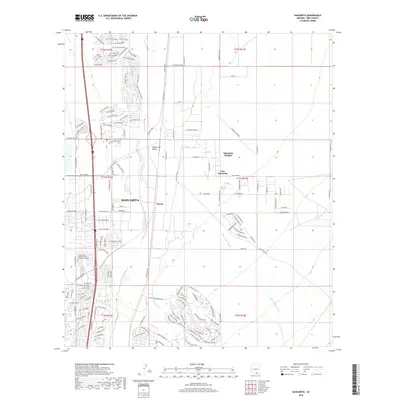 2018 Sahuarita2018 Print · USGSThe Santa Cruz Valley in the late 2010s reveals a suburban landscape emerging from the high desert. Researchers can trace modern property lines and local landmarks like the Green Valley Mortuary and Memorial Gardens and the neighborhood of Duval.
 - 2021 Map of Sahuarita, 2021 Print
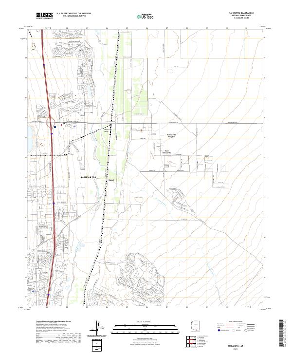 2021 Sahuarita2021 Print · USGSThe Santa Cruz River corridor south of Tucson shows rapid residential growth and desert infrastructure in the early twenty-first century. Researchers can trace local development across Sahuarita, East Sahuarita, and the settlement at Duval.
End of results
Showing maps 1-13 of 13
Top cities near Duval
- Tucson historical maps
- Sahuarita historical maps
- Corona de Tucson historical maps
- Sonoita historical maps
- Amado historical maps
Frequently asked questions
- What are the different types of historical maps available for Duval?
- What is the oldest map of Duval?
- Where can I purchase historical maps of Duval for my home or office?
- Where can I download high-res historical maps of Duval?
- Are there historical topographic maps available for Duval?
- Is there historical aerial imagery available for Duval?
- Where are historical maps of Duval sourced from?