2020s Maps of Casa Grande, Arizona
Explore 9 historic maps of Casa Grande from the 2020s. These maps offer a rare glimpse into what life looked like during the 2020s — showing old roads, neighborhoods, homes, and landmarks that have changed or disappeared over time.
Whether you're researching your family's past, planning a metal detecting trip, or studying how Casa Grande's landscape evolved across the 2020s, these high-resolution maps are a powerful tool for exploring the history of this region.
- Focus on a specific era: All maps on this page are from the 2020s, giving you a focused view of this time period.
- See what’s changed: Compare century-old streets, trails, and buildings to today's modern landscape using overlays and satellite layers.
- Research with precision: Use these maps for genealogy, historical research, land use analysis, or educational projects.
- View, download, or print: Maps are fully viewable online in high resolution, and can be downloaded or printed for your own records.
Start exploring Casa Grande's history through authentic maps from the 2020s. This is your window into the past.
Casa Grande, AZ maps
(9)- 2021 Map of Chuichu, 2021 Print
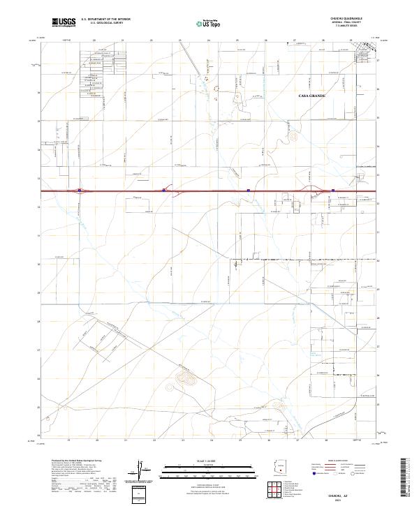 2021 Chuichu2021 Print · USGSArizona's Sonoran basin comes into focus in this recent survey of the outskirts of Casa Grande. Local historians and property researchers can trace the course of Santa Cruz Wash, the Casa Grande Canal, and long-established routes like Montgomery Rd.
 - 2021 Map of Double Peak, 2021 Print
 2021 Double Peak2021 Print · USGSPinal County's arid agricultural basin is captured in this survey, showcasing the desert flats south of the city. Genealogists and historians can trace the irrigation networks along Santa Rosa Wash and identify specific rural sites like Carranza Farm Airstrip and Double Peak.
 - 2021 Map of Casa Grande East, 2021 Print
 2021 Casa Grande East2021 Print · USGSArizona's Pinal County desert comes into sharp focus during this era of rapid expansion between major regional hubs. Genealogists and researchers can trace local landmarks like Signal Peak, the Central Arizona College Signal Peak Campus, and the northern reaches of Eloy.
 - 2021 Map of Casa Grande West, 2021 Print
 2021 Casa Grande West2021 Print · USGSThe desert outskirts of Pinal County are shown here in the early twenty-first century, as suburban growth meets the arid foothills. Trace local landmarks from the Sacaton Mountains to the Casa Grande Municipal Airport and the vital Casa Grande Canal.
 - 2021 Map of Casa Grande Mountains, 2021 Print
 2021 Casa Grande Mountains2021 Print · USGSCovers Casa Grande, including Eloy, Arizona City, and other nearby areas
 - 2021 Map of Stanfield, 2021 Print
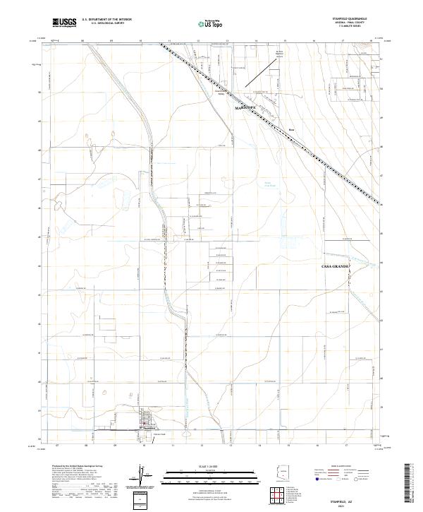 2021 Stanfield2021 Print · USGSStanfield and the central Casa Grande Valley are captured in detail during this era of desert ranching and regional transit. Genealogists and researchers can trace the roads around Stanfield, locate Potters Field, and follow the seasonal course of the Santa Cruz Wash.
 - 2023 Map of Casa Grande Mountains, 2023 Print
 2023 Casa Grande Mountains2023 Print · USGSThe Pinal County desert comes into sharp focus in this recent survey of the growing corridor between Casa Grande and Eloy. Genealogists and historians can trace cemetery locations like Pioneer Cem and follow the vital path of the Casa Grande Canal.
 - 2026 Map of Casa Grande West, 2026 Print
 2026 Casa Grande West2026 Print · USGSCovers Casa Grande, including Pinal County, United States, and other nearby areas
 - 2026 Map of Casa Grande East, 2026 Print
 2026 Casa Grande East2026 Print · USGSCovers Casa Grande, including Pinal County, United States, and other nearby areas
End of results
Showing maps 1-9 of 9
Top cities near Casa Grande
- Maricopa historical maps
- Eloy historical maps
- Coolidge historical maps
- Arizona City historical maps
- Chuichu historical maps
Top neighborhoods of Casa Grande
- Bon historical maps
- Desert Sky Ranch historical maps
- Mission Royale historical maps
- Villago historical maps
- Tamaron historical maps
- Los Portales historical maps
Frequently asked questions
- What are the different types of historical maps available for Casa Grande?
- What is the oldest map of Casa Grande?
- Where can I purchase historical maps of Casa Grande for my home or office?
- Where can I download high-res historical maps of Casa Grande?
- Are there historical topographic maps available for Casa Grande?
- Is there historical aerial imagery available for Casa Grande?
- Where are historical maps of Casa Grande sourced from?