2000s (21st Century) Maps of Yuma, Arizona
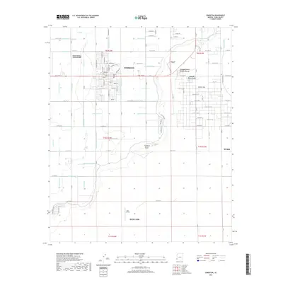
Explore 36 historic maps of Yuma from the 2000s (21st Century). These maps offer a rare glimpse into what life looked like during the 2000s — showing old roads, neighborhoods, homes, and landmarks that have changed or disappeared over time.
Whether you're researching your family's past, planning a metal detecting trip, or studying how Yuma's landscape evolved across the 2000s, these high-resolution maps are a powerful tool for exploring the history of this region.
- Focus on a specific era: All maps on this page are from the 2000s, giving you a focused view of this time period.
- See what’s changed: Compare century-old streets, trails, and buildings to today's modern landscape using overlays and satellite layers.
- Research with precision: Use these maps for genealogy, historical research, land use analysis, or educational projects.
- View, download, or print: Maps are fully viewable online in high resolution, and can be downloaded or printed for your own records.
Start exploring Yuma's history through authentic maps from the 2000s. This is your window into the past.
Yuma, AZ maps
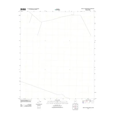
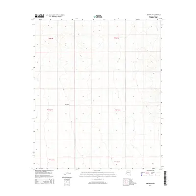
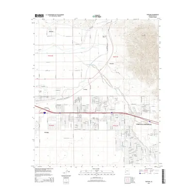
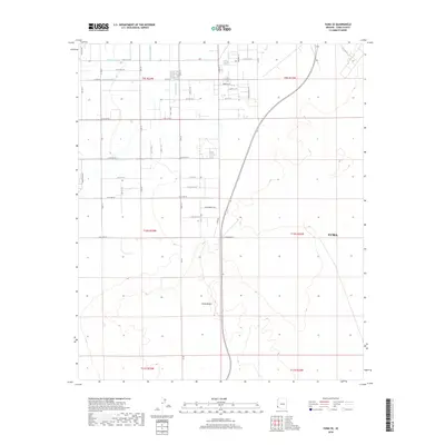
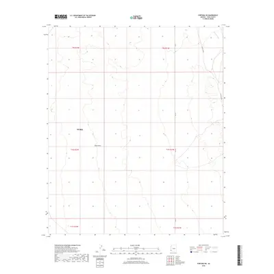
(36)- 2011 Map of Fortuna, 2011 Print
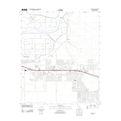 2011 Fortuna2011 Print · USGSCovers Yuma, including Fortuna Foothills, Buckshot, and other nearby areas
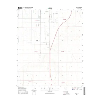
 - 2011 Map of Fortuna SW, 2011 Print
 2011 Fortuna SW2011 Print · USGSCovers Yuma, including Yuma County, United States, and other nearby areas
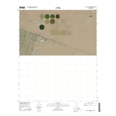
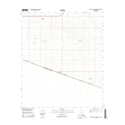
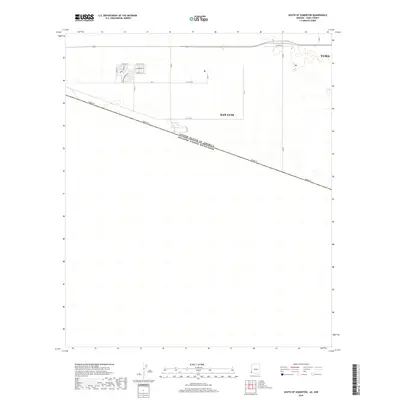
 - 2011 Map of South of Somerton, 2011 Print
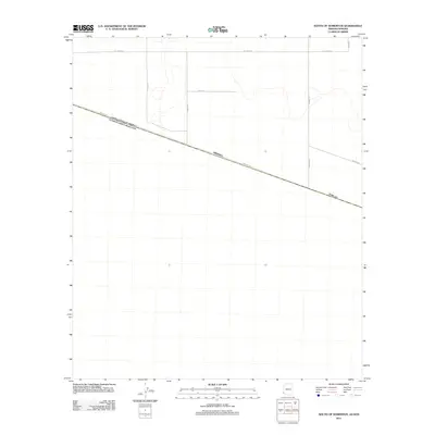 2011 South of Somerton2011 Print · USGSCovers Yuma, including San Luis, Las Adelitas, and other nearby areas
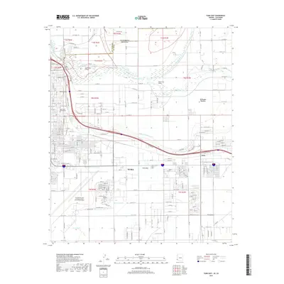
 - 2011 Map of Yuma East, 2011 Print
 2011 Yuma East2011 Print · USGSCovers Yuma, including El Prado Estates, King Ranch, and other nearby areas
 - 2011 Map of West of Vopoki Ridge, 2011 Print
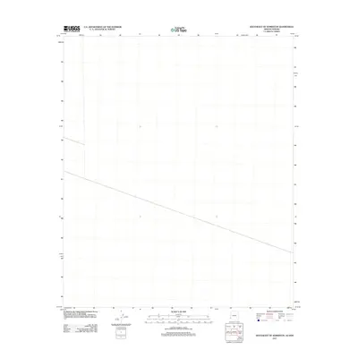
 2011 West of Vopoki Ridge2011 Print · USGSCovers Yuma, including Cucurpe, San Luis Río Colorado, and other nearby areas
 - 2011 Map of Yuma West, 2011 Print
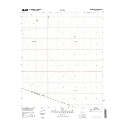
 2011 Yuma West2011 Print · USGSCovers Yuma, including Los Algodones, Avenue B & C, and other nearby areas
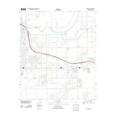
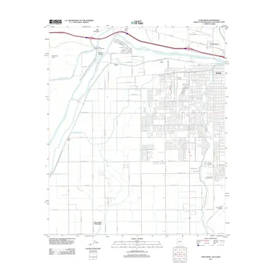
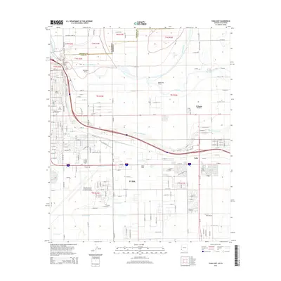
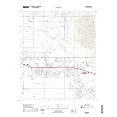
 - 2011 Map of Somerton, 2011 Print
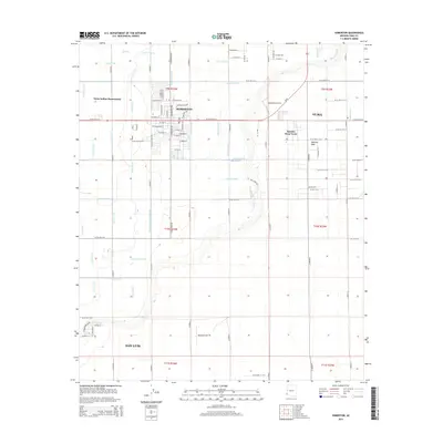
 2011 Somerton2011 Print · USGSCovers Yuma, including San Luis, Somerton, and other nearby areas
 - 2011 Map of Yuma SE, 2011 Print
 2011 Yuma SE2011 Print · USGSCovers Yuma, including Riebe Ranchettes, Pioneer Rancheros, and other nearby areas
 - 2011 Map of Southeast of Somerton, 2011 Print
 2011 Southeast of Somerton2011 Print · USGSCovers Yuma, including San Luis Río Colorado, Yuma County, and other nearby areas
 - 2014 Map of West of Vopoki Ridge, 2014 Print
 2014 West of Vopoki Ridge2014 Print · USGSCovers Yuma, including Cucurpe, San Luis Río Colorado, and other nearby areas
 - 2014 Map of South of Somerton, 2014 Print
 2014 South of Somerton2014 Print · USGSCovers Yuma, including San Luis, Las Adelitas, and other nearby areas
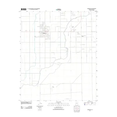
 - 2014 Map of Somerton, 2014 Print
 2014 Somerton2014 Print · USGSCovers Yuma, including San Luis, Somerton, and other nearby areas
 - 2014 Map of Southeast of Somerton, 2014 Print
 2014 Southeast of Somerton2014 Print · USGSCovers Yuma, including San Luis Río Colorado, Yuma County, and other nearby areas
 - 2014 Map of Yuma East, 2014 Print
 2014 Yuma East2014 Print · USGSCovers Yuma, including El Prado Estates, King Ranch, and other nearby areas
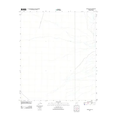
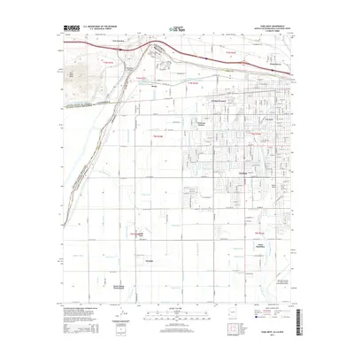
 - 2014 Map of Fortuna SW, 2014 Print
 2014 Fortuna SW2014 Print · USGSCovers Yuma, including Yuma County, United States, and other nearby areas
 - 2014 Map of Yuma SE, 2014 Print
 2014 Yuma SE2014 Print · USGSCovers Yuma, including Riebe Ranchettes, Pioneer Rancheros, and other nearby areas
 - 2014 Map of Fortuna, 2014 Print
 2014 Fortuna2014 Print · USGSCovers Yuma, including Fortuna Foothills, Buckshot, and other nearby areas
 - 2014 Map of Yuma West, 2014 Print
 2014 Yuma West2014 Print · USGSCovers Yuma, including Los Algodones, Avenue B & C, and other nearby areas
 - 2018 Map of Yuma West, 2018 Print
 2018 Yuma West2018 Print · USGSCovers Yuma, including Los Algodones, Avenue B & C, and other nearby areas
 - 2018 Map of Yuma SE, 2018 Print
 2018 Yuma SE2018 Print · USGSCovers Yuma, including Riebe Ranchettes, Pioneer Rancheros, and other nearby areas
 - 2018 Map of Fortuna SW, 2018 Print
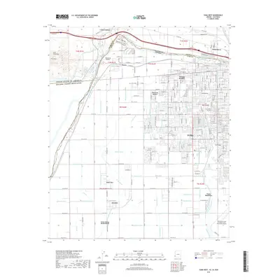
 2018 Fortuna SW2018 Print · USGSCovers Yuma, including Yuma County, United States, and other nearby areas
 - 2018 Map of South of Somerton, 2018 Print
 2018 South of Somerton2018 Print · USGSCovers Yuma, including San Luis, Las Adelitas, and other nearby areas
 - 2018 Map of Yuma East, 2018 Print
 2018 Yuma East2018 Print · USGSCovers Yuma, including El Prado Estates, King Ranch, and other nearby areas
 - 2018 Map of Fortuna, 2018 Print
 2018 Fortuna2018 Print · USGSCovers Yuma, including Fortuna Foothills, Buckshot, and other nearby areas
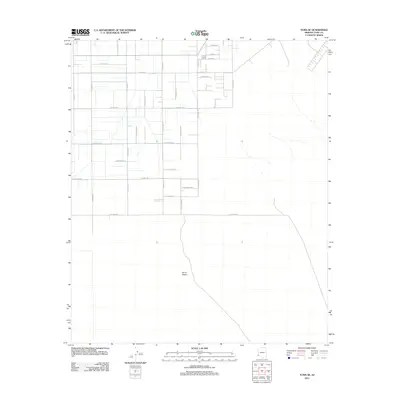
 - 2018 Map of Somerton, 2018 Print
 2018 Somerton2018 Print · USGSCovers Yuma, including San Luis, Somerton, and other nearby areas
Showing maps 1-25 of 36
Top cities near Yuma
- Fortuna Foothills historical maps
- San Luis historical maps
- Somerton historical maps
- Avenue B & C historical maps
- Donovan Estates historical maps
- Gadsden historical maps
See more
Top neighborhoods of Yuma
- Araby historical maps
- Hacienda Estates historical maps
- Rancho Caballo historical maps
- Kofa Acres historical maps
- Desert View historical maps
- Hansberger historical maps
See more
Frequently asked questions
- What are the different types of historical maps available for Yuma?
- What is the oldest map of Yuma?
- Where can I purchase historical maps of Yuma for my home or office?
- Where can I download high-res historical maps of Yuma?
- Are there historical topographic maps available for Yuma?
- Is there historical aerial imagery available for Yuma?
- Where are historical maps of Yuma sourced from?