2010s Maps of Yuma, Arizona
Explore 27 historic maps of Yuma from the 2010s. These maps offer a rare glimpse into what life looked like during the 2010s — showing old roads, neighborhoods, homes, and landmarks that have changed or disappeared over time.
Whether you're researching your family's past, planning a metal detecting trip, or studying how Yuma's landscape evolved across the 2010s, these high-resolution maps are a powerful tool for exploring the history of this region.
- Focus on a specific era: All maps on this page are from the 2010s, giving you a focused view of this time period.
- See what’s changed: Compare century-old streets, trails, and buildings to today's modern landscape using overlays and satellite layers.
- Research with precision: Use these maps for genealogy, historical research, land use analysis, or educational projects.
- View, download, or print: Maps are fully viewable online in high resolution, and can be downloaded or printed for your own records.
Start exploring Yuma's history through authentic maps from the 2010s. This is your window into the past.
Yuma, AZ maps
(27)- 2011 Map of Fortuna, 2011 Print
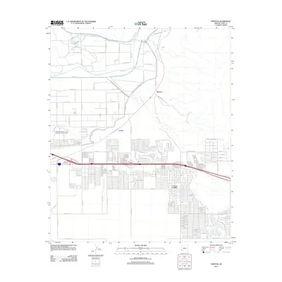 2011 Fortuna2011 Print · USGSThe Yuma area at the start of the 2010s shows a landscape of river-fed agriculture and desert expansion. Genealogists and local historians can trace the growth of Fortuna Foothills and locate the Northern Arizona University Yuma Campus near the Gila River.
 - 2011 Map of Fortuna SW, 2011 Print
 2011 Fortuna SW2011 Print · USGSThe Yuma desert in the early twenty-first century shows a landscape defined by natural drainage and limited transit. Trace the path of Fortuna Wash and the sparse desert corridor along Avenue 10th E.
 - 2011 Map of South of Somerton, 2011 Print
 2011 South of Somerton2011 Print · USGSThe Arizona borderlands south of Somerton appear here in the early twenty-first century, defined by a rigid desert grid. Trace the diagonal path of Border Rd and the rural intersections of Co 23rd St S and S Avenue B.
 - 2011 Map of Yuma East, 2011 Print
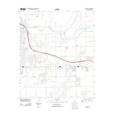 2011 Yuma East2011 Print · USGSYuma at the start of the twenty-first century reveals a desert landscape shaped by the Colorado River and a complex network of irrigation canals. Researchers can trace the development of the South Gila Valley or locate family sites at Yuma Cemetery and Araby.
 - 2011 Map of West of Vopoki Ridge, 2011 Print
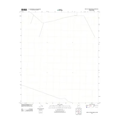 2011 West of Vopoki Ridge2011 Print · USGSCovers Yuma, including Cucurpe, San Luis Río Colorado, and other nearby areas
 - 2011 Map of Yuma West, 2011 Print
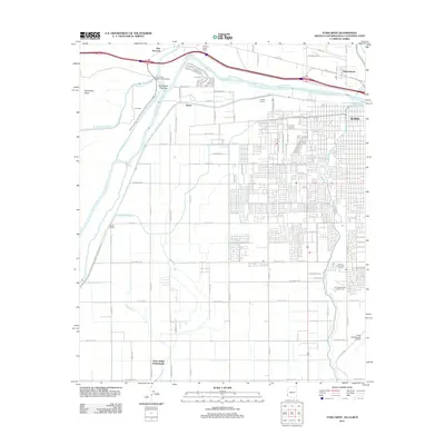 2011 Yuma West2011 Print · USGSThe desert frontier near the Colorado River comes to life in this early twenty-first-century survey. Genealogists and local historians can trace the Yuma Indian Homesteads and the historic Old Araz Stage Depot, alongside modern landmarks like Yuma and Winterhaven.
 - 2011 Map of Somerton, 2011 Print
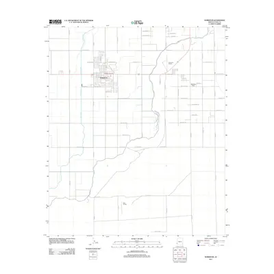 2011 Somerton2011 Print · USGSIn the early twenty-first century, Somerton sits as a vital agricultural center defined by irrigation and aviation. Researchers can trace the town's street layout near the Somerton Post Office or locate local flight history at Rolle Airfield.
 - 2011 Map of Yuma SE, 2011 Print
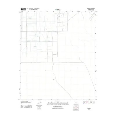 2011 Yuma SE2011 Print · USGSArizona's southern desert reaches south of Yuma are captured here in the early 2000s as the grid system expanded into the arid landscape. Researchers can trace the development of roads like E Co Hwy-18th and unique local markers like Orange and Tangerine.
 - 2011 Map of Southeast of Somerton, 2011 Print
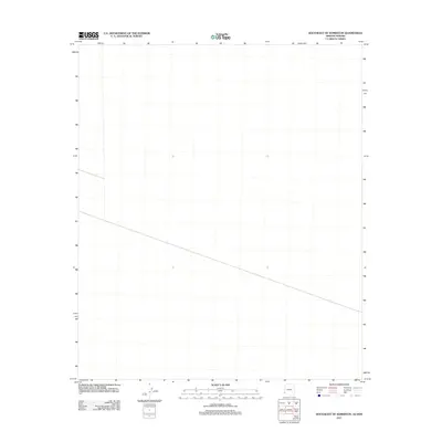 2011 Southeast of Somerton2011 Print · USGSCovers Yuma, including San Luis Río Colorado, Yuma County, and other nearby areas
 - 2014 Map of West of Vopoki Ridge, 2014 Print
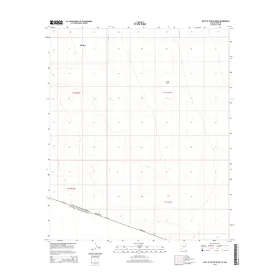 2014 West of Vopoki Ridge2014 Print · USGSThe southwestern edge of Arizona is captured in this 2014 survey, where the arid Yuma Desert meets the international boundary. Researchers can trace the exact path of Border Rd as it defines the line between the United States and Mexico.
 - 2014 Map of South of Somerton, 2014 Print
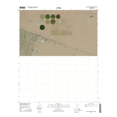 2014 South of Somerton2014 Print · USGSThe Arizona-Mexico border at the edge of Yuma County is captured here in the mid-2010s, showing the early growth of this desert frontier. Researchers can trace the expanding grid of San Luis and follow Border Rd along the international boundary.
 - 2014 Map of Somerton, 2014 Print
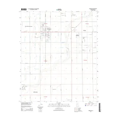 2014 Somerton2014 Print · USGSThe irrigation-rich landscape of Yuma County comes into focus in this early twenty-first-century survey of Somerton and San Luis. Researchers can trace the water-management history of the Yuma Indian Homesteads or locate landmarks like Somerton Airport and Mohawk Peak.
 - 2014 Map of Southeast of Somerton, 2014 Print
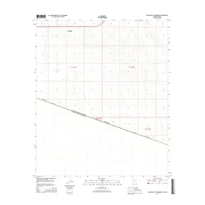 2014 Southeast of Somerton2014 Print · USGSThe Arizona-Mexico borderlands south of Yuma are captured here in the early twenty-first century. Researchers can trace the path of Border Rd along the United States of America Estados Unidos Mexicanos line and see the layout of AZ 195.
 - 2014 Map of Yuma East, 2014 Print
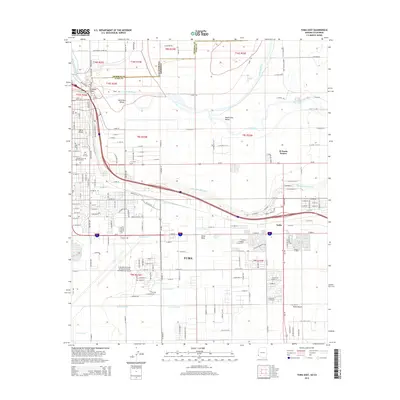 2014 Yuma East2014 Print · USGSYuma and its river valleys are mapped here in the early twenty-first century, showing the complex meeting of the Arizona and California borders. Researchers can trace the sprawling Yuma International Airport and local landmarks like Prison Hill and Yuma City Cem.
 - 2014 Map of Fortuna SW, 2014 Print
 2014 Fortuna SW2014 Print · USGSThe Yuma Desert in the mid-2010s reveals a vast, open landscape shaped by natural drainage and sparse desert terrain. Genealogists and researchers can trace the path of Fortuna Wash and explore the township grids of the Arizona borderlands.
 - 2014 Map of Yuma SE, 2014 Print
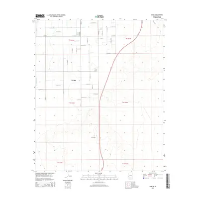 2014 Yuma SE2014 Print · USGSSoutheast Yuma and the surrounding Gila Valley are captured here just over a decade ago during a period of desert development. Researchers can trace the vital irrigation grid of A Canal and B Main Lateral alongside local landmarks like Kofa Co-Op.
 - 2014 Map of Fortuna, 2014 Print
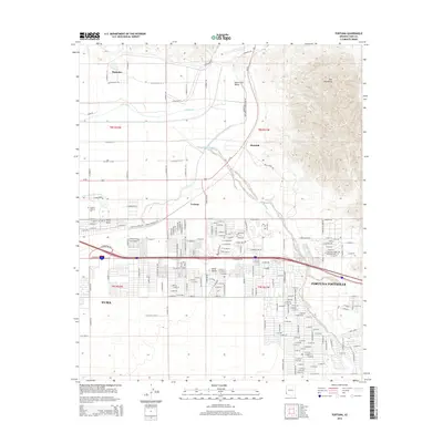 2014 Fortuna2014 Print · USGSThe desert landscape east of Yuma comes into focus during this period of suburban expansion and agricultural management. Genealogists and researchers can trace the growth of Fortuna Foothills and find specific local landmarks like Arizona Western Coll and the historic site of Blaisdell.
 - 2014 Map of Yuma West, 2014 Print
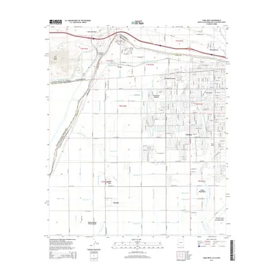 2014 Yuma West2014 Print · USGSThe desert borderlands near the Colorado River come into focus in this 2014 survey of the Arizona-California line. Trace the intricate irrigation network from Rockwood Heading to settlements like Padre Ranchitos and the Yuma Indian Homesteads.
 - 2018 Map of Yuma West, 2018 Print
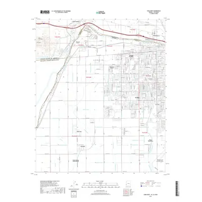 2018 Yuma West2018 Print · USGSYuma and the surrounding valley are shown during a period of intensive water management and military significance. Genealogists and historians can trace family locations through named areas like Padre Ranchitos, Yuma Indian Homesteads, and the community of Winterhaven.
 - 2018 Map of Yuma SE, 2018 Print
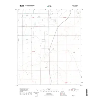 2018 Yuma SE2018 Print · USGSSoutheast of Yuma in the late 2010s, the landscape shows the intersection of desert wilderness and organized irrigation. Trace the vital water infrastructure of the A Canal and B Main Lateral as they reach toward the edge of the Yuma Desert.
 - 2018 Map of Fortuna SW, 2018 Print
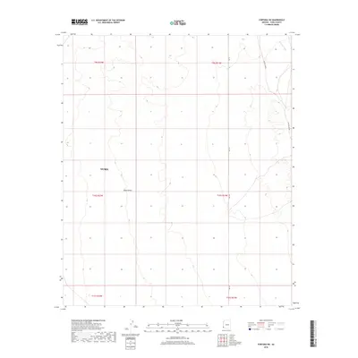 2018 Fortuna SW2018 Print · USGSThe arid landscape south of Yuma is captured here in the late twenty-teens, showing a region defined by desert roads and seasonal washes. Researchers can trace the path of Cam Del Diablo and identify the drainage of Fortuna Wash across the Yuma Desert.
 - 2018 Map of South of Somerton, 2018 Print
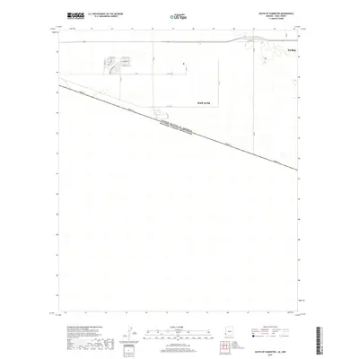 2018 South of Somerton2018 Print · USGSThe international border near San Luis, Arizona, appears in sharp detail during this late 2010s survey. Genealogists and researchers can trace the growth of local neighborhoods along San Pedro St, Aracely St, and the well-defined Border Rd.
 - 2018 Map of Yuma East, 2018 Print
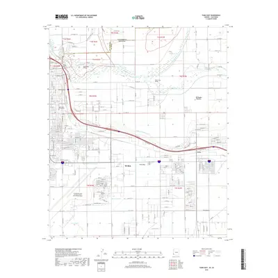 2018 Yuma East2018 Print · USGSThe Arizona-California borderlands are captured here in the late 2010s as a complex hub of irrigation and aviation. Researchers can trace the development of Yuma Mesa or locate sites like Prison Hill and the Yuma City Cem.
 - 2018 Map of Fortuna, 2018 Print
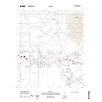 2018 Fortuna2018 Print · USGSThe eastern edges of Yuma meet the high desert in this 2018 survey of the valley and foothills. Researchers can trace the development of the Fortuna Foothills and the vital water systems of the S Gila Valley Main Canal and the Gila River.
 - 2018 Map of Somerton, 2018 Print
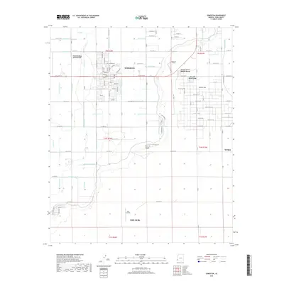 2018 Somerton2018 Print · USGSThe agricultural heart of Yuma County is captured here in the late 2010s, showcasing a sophisticated network of desert irrigation. Researchers can trace the complex system of the Main Drain and Pesch Canal alongside the Yuma Indian Homesteads.
Showing maps 1-25 of 27
Top cities near Yuma
- Fortuna Foothills historical maps
- San Luis historical maps
- Somerton historical maps
- Avenue B & C historical maps
- Donovan Estates historical maps
- Gadsden historical maps
See more
Top neighborhoods of Yuma
- Araby historical maps
- Hacienda Estates historical maps
- Rancho Caballo historical maps
- Kofa Acres historical maps
- Desert View historical maps
- Hansberger historical maps
See more
Frequently asked questions
- What are the different types of historical maps available for Yuma?
- What is the oldest map of Yuma?
- Where can I purchase historical maps of Yuma for my home or office?
- Where can I download high-res historical maps of Yuma?
- Are there historical topographic maps available for Yuma?
- Is there historical aerial imagery available for Yuma?
- Where are historical maps of Yuma sourced from?