2020s Maps of Boone County, Arkansas
Explore 34 historic maps of Boone County from the 2020s. These maps offer a rare glimpse into what life looked like during the 2020s — showing old roads, neighborhoods, homes, and landmarks that have changed or disappeared over time.
Whether you're researching your family's past, planning a metal detecting trip, or studying how Boone County's landscape evolved across the 2020s, these high-resolution maps are a powerful tool for exploring the history of this region.
- Focus on a specific era: All maps on this page are from the 2020s, giving you a focused view of this time period.
- See what’s changed: Compare century-old streets, trails, and buildings to today's modern landscape using overlays and satellite layers.
- Research with precision: Use these maps for genealogy, historical research, land use analysis, or educational projects.
- View, download, or print: Maps are fully viewable online in high resolution, and can be downloaded or printed for your own records.
Start exploring Boone County's history through authentic maps from the 2020s. This is your window into the past.
Boone County, AR maps
(34)- 2020 Map of Jasper, 2020 Print
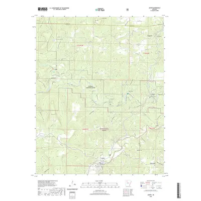 2020 Jasper2020 Print · USGSJasper and the surrounding Newton County highlands are shown here in the 2020s, centered on the Buffalo River valley and the Ozark National Forest. Researchers can trace local lineage through several family sites like Shaddox Cem, Adair Cem, and the courthouse in Jasper.
 - 2020 Map of Gaither, 2020 Print
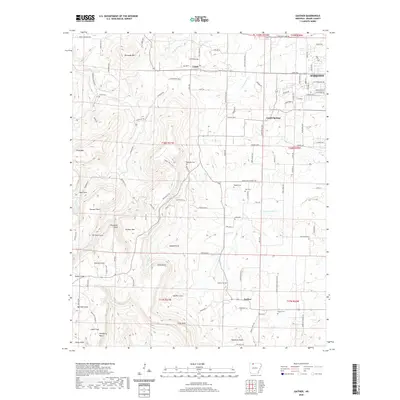 2020 Gaither2020 Print · USGSThe Ozark plateau south of Harrison remains a landscape of deep coves and named points in the early twenty-first century. Family researchers can trace the locations of Coker Cem, Gaither Cem, and small settlements like Grubb Springs and Gaither.
 - 2020 Map of Diamond City, 2020 Print
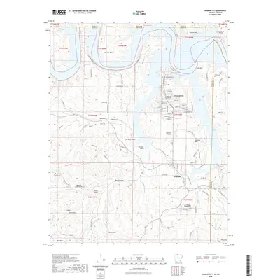 2020 Diamond City2020 Print · USGSThe Ozark shorelines of Boone County are captured here in the modern era, centered on the residential growth of Diamond City and Lead Hill. Researchers can trace local heritage through several burial sites like Pickard Cem and Foresee Cem.
 - 2020 Map of Denver, 2020 Print
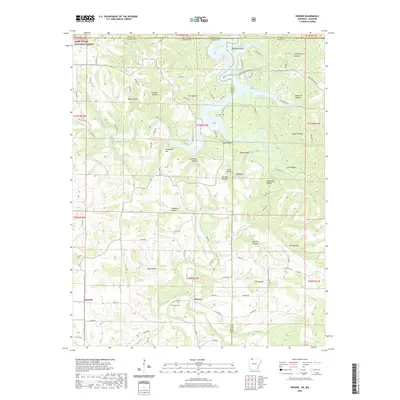 2020 Denver2020 Print · USGSThe Arkansas-Missouri state line passes through this Ozark plateau region in the 2020s, highlighting the communities of Denver and Farewell. Local historians can trace family locations near Denver Cem or explore the rugged hollows surrounding Table Rock Lake.
 - 2020 Map of Everton, 2020 Print
 2020 Everton2020 Print · USGSBoone and Marion County communities are documented here as they appeared in 2020, showing a landscape shaped by rural agriculture and deep family roots. Genealogists can locate numerous small burial sites like Hog Creek Cem and Newton Cem near the settlements of Everton and Valley Springs.
 - 2020 Map of Omaha, 2020 Print
 2020 Omaha2020 Print · USGSBoone County, Arkansas, at the Missouri border, appears here as a land of deep Ozark hollows and upland ridges. Researchers can trace the network of old settlements and family-named roads including Omaha, Cricket, and New Hope along with Cloverdale Ridge.
 - 2020 Map of Osage NE, 2020 Print
 2020 Osage NE2020 Print · USGSThe upland terrain along the Carroll and Boone County line appears here in high detail, showing the rural communities of Delmar and Red Bank. Researchers can locate several family burial sites and landmarks like Dog Branch Cem, Bee Bluff, and Brewer Lake.
 - 2020 Map of Bergman, 2020 Print
 2020 Bergman2020 Print · USGSBoone County's rugged Ozark terrain is documented here during the early twenty-first century, centered on the communities north of the county seat. Researchers can trace ancestral locations near York Cemetery and Summers Cemetery or follow the waters of Crooked Creek and Sugar Orchard Creek.
 - 2020 Map of Harrison, 2020 Print
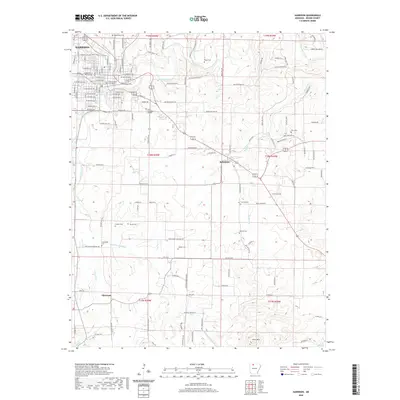 2020 Harrison2020 Print · USGSBoone County at the start of the 2020s shows a landscape where established civic centers meet quiet rural homesteads. Genealogists can trace family lines across a dozen local burial sites, from Maplewood Cem in town to Milum Cem and Younes Cem in the outlying hills.
 - 2020 Map of Peel, 2020 Print
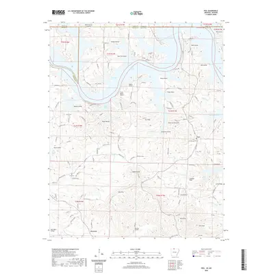 2020 Peel2020 Print · USGSThe Arkansas-Missouri borderlands come to life in this detailed survey of the Bull Shoals Lake region during the late twenty-teens. Researchers can trace ancestral roots at Peel Cem and Locust Cem or locate old homesteads near Monarch and Japanese Knob.
 - 2020 Map of Zinc, 2020 Print
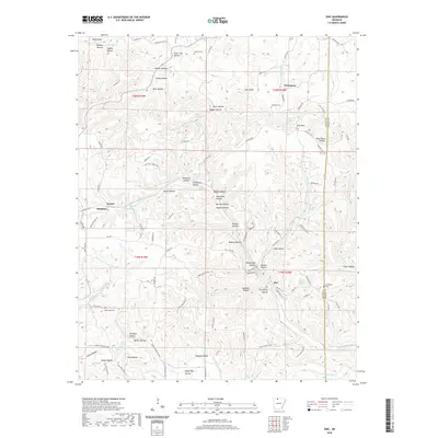 2020 Zinc2020 Print · USGSThe northern Arkansas hills between Bergman and Zinc are documented here in the early twenty-first century. Genealogists can trace family footprints through sites like Jackson Cem, Richardson Cem, and the historic drainage of Sugar Orchard Cr.
 - 2020 Map of Batavia, 2020 Print
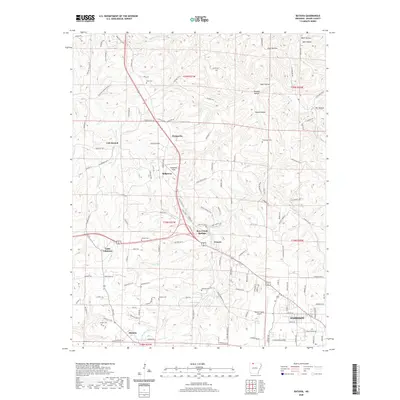 2020 Batavia2020 Print · USGSBoone County’s rural uplands are mapped here in the contemporary era, showing the transition from the city of Harrison to the scattered settlements of the Ozarks. Genealogists can locate numerous family burial grounds including Gass Cem, Denning Cem, and Sanders Cem.
 - 2020 Map of Omaha NE, 2020 Print
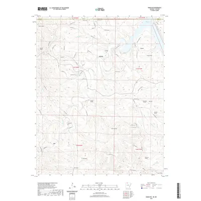 2020 Omaha NE2020 Print · USGSThe Arkansas-Missouri state line comes alive in this survey of northern Boone County during its modern era. Researchers can trace family ties at Cottonwood Cem or explore the rugged topography of White Oak Mtn and the many hollows leading to Bull Shoals Lake.
 - 2020 Map of Ponca, 2020 Print
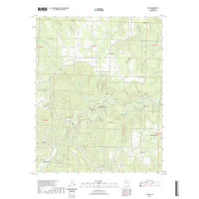 2020 Ponca2020 Print · USGSThe Buffalo River corridor in Newton County appears here during a period of modern conservation and rural stability. Genealogists and hikers can locate family landmarks like Beechwood Cemetery or trace paths through Hemmed-In-Hollow and Big Bluff.
 - 2020 Map of Western Grove, 2020 Print
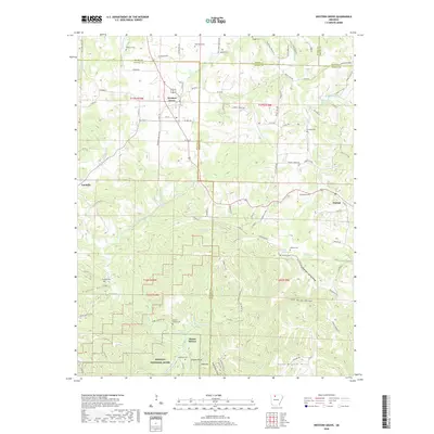 2020 Western Grove2020 Print · USGSThe Ozark plateau near the Boone and Newton county lines comes into focus in this recent survey. Local historians can trace family burial sites like Wilbourn Cem and Mount Hersey Cem or follow the waters of the Buffalo River through Pinhook Hollow.
 - 2020 Map of Alpena, 2020 Print
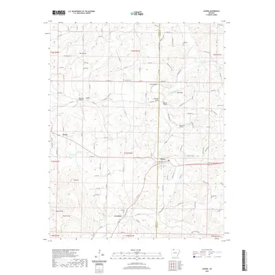 2020 Alpena2020 Print · USGSThe hills of Northwest Arkansas appear in detail in 2020, showing the rural communities of Alpena and Carrollton. Genealogists can trace several local burial sites including Oak Hills Cem and McCracken Cem, while topography hunters can locate Pine Mtn and Chaney Bluff.
 - 2020 Map of Hasty, 2020 Print
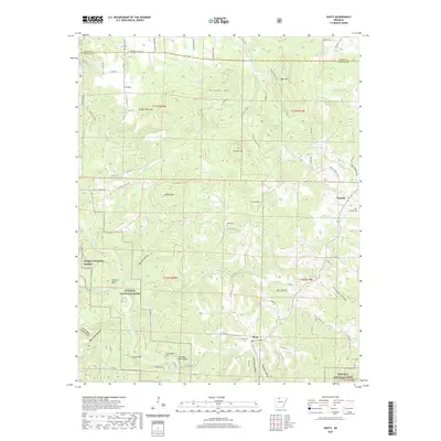 2020 Hasty2020 Print · USGSNewton County's river valleys and high ridges are captured here in the 2020s, showing the intersection of the Buffalo National River and local life. Researchers can trace family history through several rural sites like Agee Cem, Yardelle, and Deffenbaugh Cem.
 - 2024 Map of Everton, 2024 Print
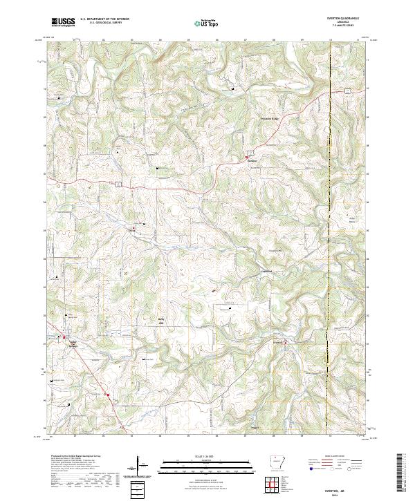 2024 Everton2024 Print · USGSThe Ozark foothills of Boone and Marion counties are mapped here in detail, showing a landscape of scattered settlements and family cemeteries. Genealogists can trace local history through sites like Valley Springs, Rally Hill, and Olvey Cem.
 - 2024 Map of Zinc, 2024 Print
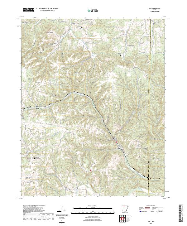 2024 Zinc2024 Print · USGSThe rural hills of Boone County are shown here in modern detail, where the historic mining legacies of Zinc and Bergman meet a landscape of deep hollows. Researchers can trace family history at the Richardson Cem or follow the waters of Sugar Orchard Creek.
 - 2024 Map of Western Grove, 2024 Print
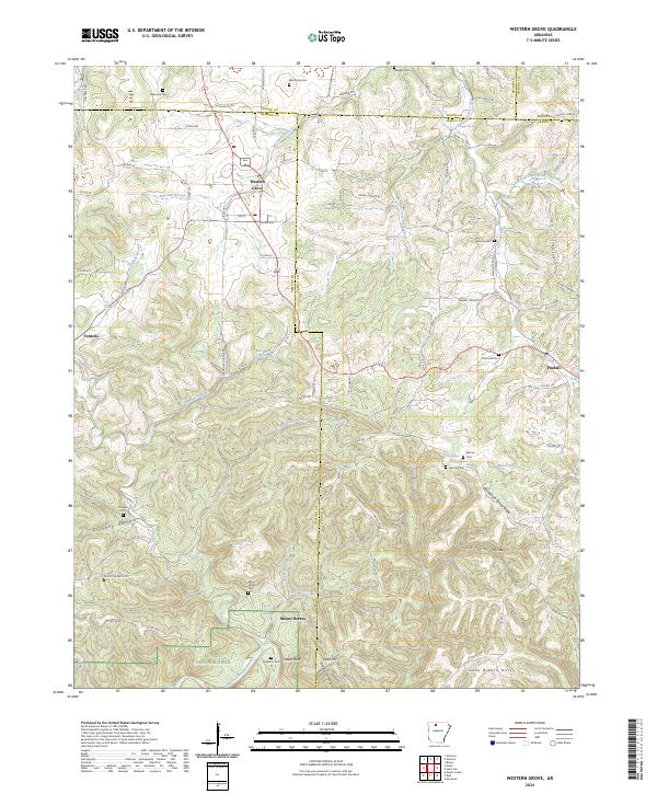 2024 Western Grove2024 Print · USGSNewton and Searcy counties are captured in the modern era as they border the Buffalo National River and its rugged valley. Genealogists can trace early homestead sites and family burials at Aydelotte Cem, Kilbum Cem, and the old settlement at Mount Hersey.
 - 2024 Map of Alpena, 2024 Print
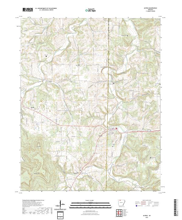 2024 Alpena2024 Print · USGSThe hills around Alpena and Carrollton are mapped here in the modern era, showing the enduring rural layout of Carroll County. Genealogists can trace family locations through numerous sites like McCracken Cem, Carrollton Cem, and the old settlement at Coin.
 - 2024 Map of Osage NE, 2024 Print
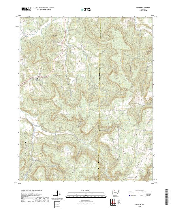 2024 Osage NE2024 Print · USGSThe Ozark highlands of Carroll and Boone Counties come into focus in this contemporary survey of rural Arkansas. Genealogists and local historians can trace family ties at community landmarks like Dog Branch Cem, Delmar, and Hilltop Cem.
 - 2024 Map of Jasper, 2024 Print
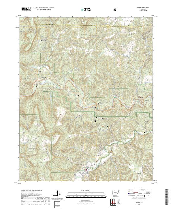 2024 Jasper2024 Print · USGSNewton County in the 2020s remains defined by the rugged bends of the Buffalo River and its deep-rooted Ozark settlements. Researchers can trace ancestral locations through numerous family burial sites like Shaddox Cem or visit the Newton County Courthouse in Jasper.
 - 2024 Map of Ponca, 2024 Print
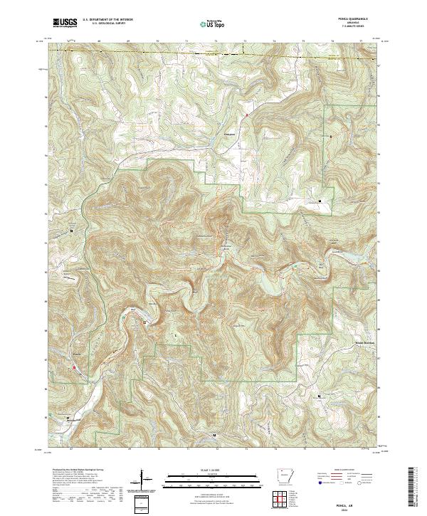 2024 Ponca2024 Print · USGSThe Buffalo River corridor in Newton County comes alive in this current topographical survey of the Arkansas Ozarks. Researchers can trace historic local sites like Mountain Springs Cem, the Ponca Int Airport, and the river bluffs at Roark Bluff.
 - 2024 Map of Gaither, 2024 Print
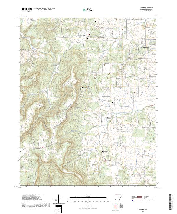 2024 Gaither2024 Print · USGSBoone County settlements and rural cemeteries are well-preserved in this modern survey of the Ozark highlands. Researchers can trace family history through several burial sites like Wagley Cem and Robinson Cem or locate old homesteads near Grubb Springs and Capps.
Showing maps 1-25 of 34
Top cities of Boone County
- Harrison historical maps
- Diamond City historical maps
- Bellefonte historical maps
- Bergman historical maps
- Lead Hill historical maps
- Everton historical maps
See more
Frequently asked questions
- What are the different types of historical maps available for Boone County?
- What is the oldest map of Boone County?
- Where can I purchase historical maps of Boone County for my home or office?
- Where can I download high-res historical maps of Boone County?
- Are there historical topographic maps available for Boone County?
- Is there historical aerial imagery available for Boone County?
- Where are historical maps of Boone County sourced from?