2000s (21st Century) Maps of Boone County, Arkansas
Explore 85 historic maps of Boone County from the 2000s (21st Century). These maps offer a rare glimpse into what life looked like during the 2000s — showing old roads, neighborhoods, homes, and landmarks that have changed or disappeared over time.
Whether you're researching your family's past, planning a metal detecting trip, or studying how Boone County's landscape evolved across the 2000s, these high-resolution maps are a powerful tool for exploring the history of this region.
- Focus on a specific era: All maps on this page are from the 2000s, giving you a focused view of this time period.
- See what’s changed: Compare century-old streets, trails, and buildings to today's modern landscape using overlays and satellite layers.
- Research with precision: Use these maps for genealogy, historical research, land use analysis, or educational projects.
- View, download, or print: Maps are fully viewable online in high resolution, and can be downloaded or printed for your own records.
Start exploring Boone County's history through authentic maps from the 2000s. This is your window into the past.
Boone County, AR maps
(85)- 2011 Map of Alpena, 2011 Print
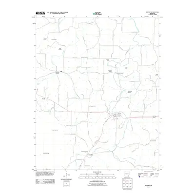 2011 Alpena2011 Print · USGSThe rural landscapes of Carroll and Boone Counties are captured here just after the turn of the millennium. Genealogists can trace family connections at McCracken Cemetery and Youngblood Cemetery, while identifying old settlements like Coin and Hough.
 - 2011 Map of Gaither, 2011 Print
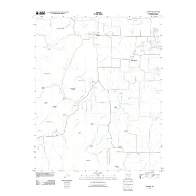 2011 Gaither2011 Print · USGSBoone County at the start of the 2010s reveals a landscape of high ridges and deep coves surrounding the Gaither Mountain area. Researchers can trace family history through a concentration of burial sites like Holt Cemetery and Long Cemetery, or locate the community of Capps.
 - 2011 Map of Hasty, 2011 Print
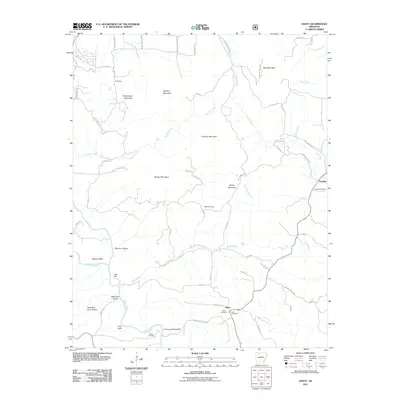 2011 Hasty2011 Print · USGSNewton County's river valleys and high ridges are documented here during the early twenty-first century. Genealogists and local historians can trace family sites like Agee Cemetery near Hasty or landmarks such as Chimney Rock Bluff and Boat Mountain.
 - 2011 Map of Omaha, 2011 Print
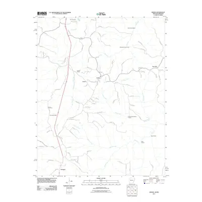 2011 Omaha2011 Print · USGSThe borderlands of northern Arkansas and southern Missouri are captured here just after the turn of the millennium. Researchers can trace rural lineages through settlements like Omaha, Cricket, and Burlington, or locate landmarks such as the Burlington Lookout Tower.
 - 2011 Map of Osage NE, 2011 Print
 2011 Osage NE2011 Print · USGSBoone County's rural communities and hollows are documented here during the early twenty-first century. Family history researchers can locate Hilltop Cemetery, the settlement of Delmar, and several distinctive landmarks such as Bee Bluff and Whooping Hollow.
 - 2011 Map of Omaha NE, 2011 Print
 2011 Omaha NE2011 Print · USGSThe northern Ozarks at the turn of the decade are mapped here, showing the rugged hills between Boone and Lead Hill. Researchers can trace old routes like Dubuque Rd and find local landmarks such as Cottonwood Cemetery and White Oak Mountain.
 - 2011 Map of Batavia, 2011 Print
 2011 Batavia2011 Print · USGSBoone County in the early twenty-first century reveals a landscape where rural crossroads like Batavia and Ridgeway meet modern infrastructure. Genealogists can trace family heritage through numerous sites like Gass Cemetery, Markley Cemetery, and Bear Creek Springs.
 - 2011 Map of Jasper, 2011 Print
 2011 Jasper2011 Print · USGSNewton County as it appeared in the early twenty-first century shows a landscape of deep hollows and river bends along the Buffalo River. Genealogists can trace family heritage through numerous burial sites including Shaddox Cemetery, Pruitt Cemetery, and Stringtown Cemetery.
 - 2011 Map of Ponca, 2011 Print
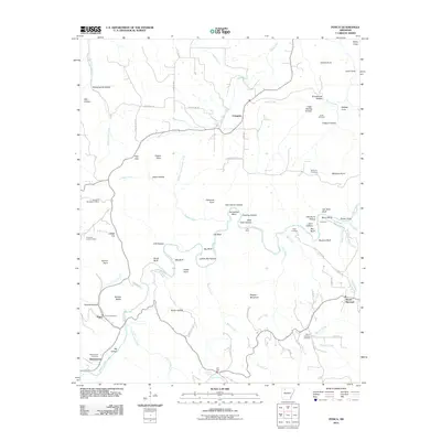 2011 Ponca2011 Print · USGSThe Buffalo River valley and the Ozark highlands are captured here in the early twenty-first century. Genealogists and local historians can locate family burial grounds like Jones Cemetery and Mountain Springs Cemetery or trace old routes to Kyles Landing and Camp Orr.
 - 2011 Map of Bergman, 2011 Print
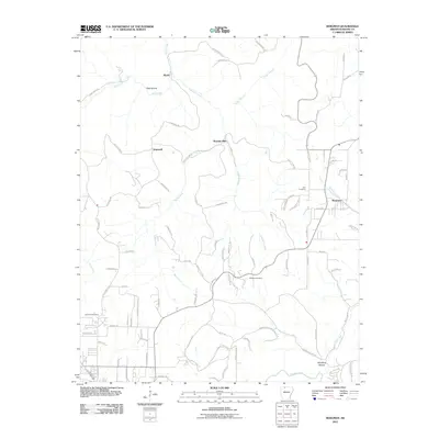 2011 Bergman2011 Print · USGSBoone County's rural landscape is captured here during the early twenty-first century, centered on the settlement of Bergman. Genealogists and local historians can trace family locations near the York Cemetery, Bethany Cemetery, and the old crossroads of Hopewell.
 - 2011 Map of Everton, 2011 Print
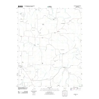 2011 Everton2011 Print · USGSEverton and the northern Arkansas Ozarks are captured here at the turn of the decade. Genealogists and historians can trace numerous family burial sites such as Britton Cemetery and Warner Cemetery or explore the rural environs of Valley Springs.
 - 2011 Map of Zinc, 2011 Print
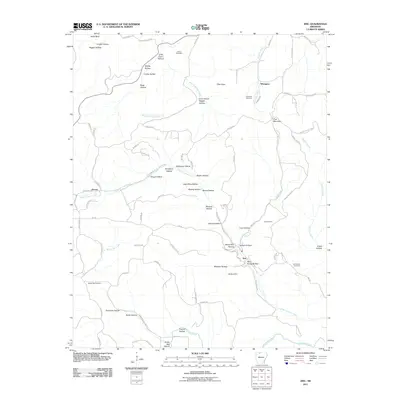 2011 Zinc2011 Print · USGSBoone County's mining and rural landscape is documented here in the early twenty-first century. Researchers can trace the proximity of local industry to family sites via the Madison Mine, Jackson Cemetery, and the small settlement of Zinc.
 - 2011 Map of Western Grove, 2011 Print
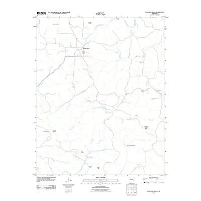 2011 Western Grove2011 Print · USGSSettlement and industry across the Ozark plateau come into focus during this 2011 survey. Researchers can trace family history at burial sites like Wilbourn Cemetery and Pinhook Cemetery or locate old industrial markers such as Hurricane Mine and Mount Hersey.
 - 2011 Map of Harrison, 2011 Print
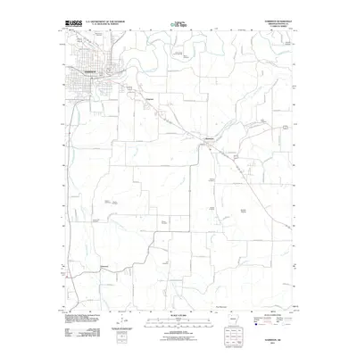 2011 Harrison2011 Print · USGSHarrison and the surrounding Boone County highlands appear in this detailed 2011 survey, showing the city's growth alongside its deep-rooted rural outskirts. Genealogists can trace family sites at Milum Cemetery, Huzzah Prairie, and Bellefonte.
 - 2011 Map of Diamond City, 2011 Print
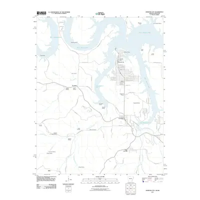 2011 Diamond City2011 Print · USGSBoone County, Arkansas, at the start of the 2010s shows a landscape shaped by the waters of the White River basin. Researchers can trace local heritage through several burial grounds like Fairview Cemetery and Pickard Cemetery, or explore the settlement at Lead Hill.
 - 2011 Map of Peel, 2011 Print
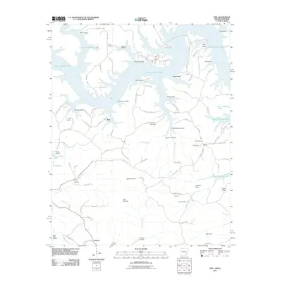 2011 Peel2011 Print · USGSMarion County, Arkansas, is shown here as a landscape defined by the expansive reaches of Bull Shoals Lake and the rugged Ozark interior. Genealogists can trace family landmarks and burial sites such as Peel Cemetery, Locust Cemetery, and the Peel Post Office.
 - 2012 Map of Denver, 2012 Print
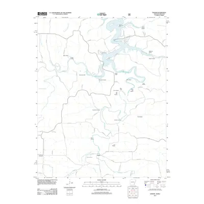 2012 Denver2012 Print · USGSNorthwest Arkansas and the Missouri border country are captured here during the early twenty-first century, centered on the Denver community. Local historians can trace family burial sites at Denver Cemetery and Enon Cemetery or scout the banks of Long Creek.
 - 2014 Map of Alpena, 2014 Print
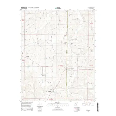 2014 Alpena2014 Print · USGSThe borderlands of Carroll and Boone Counties come alive in this early twenty-first-century record of rural Arkansas. Genealogists and local historians can trace family locations through numerous rural burial grounds such as Carrollton Cem and Dunkard Cem near the headwaters of Long Creek.
 - 2014 Map of Omaha, 2014 Print
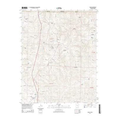 2014 Omaha2014 Print · USGSBoone County, Arkansas, and the Missouri border country are mapped here in the early 21st century. Genealogists and hikers can trace the deep hollows and ridges that shaped local history, from Omaha and Cricket to the Burlington Lookout Tower and Lee Hollow.
 - 2014 Map of Hasty, 2014 Print
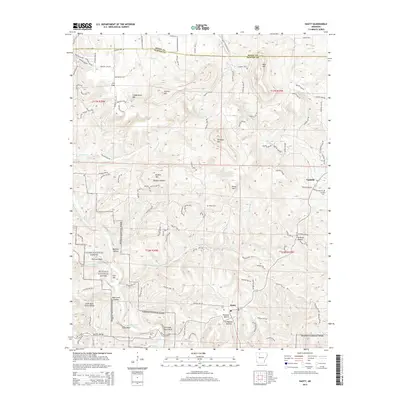 2014 Hasty2014 Print · USGSNewton County's high Ozark country is documented here in the early twenty-first century as the Buffalo National River flows past remote bluff lines. Researchers can locate family sites at Hasty and Yardelle or trace ancestors through Agee Cem and Collins Cem.
 - 2014 Map of Ponca, 2014 Print
 2014 Ponca2014 Print · USGSNewton County's high Ozark country is documented here in the early twenty-first century, centered on the winding Buffalo National River. Local researchers can trace family roots through several rural burial sites like Grogans Cemetery and Beechwood Cemetery, or locate the historic Compton Lookout Tower.
 - 2014 Map of Omaha NE, 2014 Print
 2014 Omaha NE2014 Print · USGSThe Arkansas-Missouri state line crosses this Ozark plateau landscape as it appeared in the early 2010s. Researchers can trace local landmarks like Cottonwood Cem and the small settlements of Lead Hill and Boone near the shores of Bull Shoals Lake.
 - 2014 Map of Gaither, 2014 Print
 2014 Gaither2014 Print · USGSThe high ridges and deep coves of Boone County are captured here in the early twenty-first century, just west of the growing city center. Genealogists can trace family landmarks and rural burial grounds such as Wagley Cem and Coker Cem near the old settlement of Capps.
 - 2014 Map of Bergman, 2014 Print
 2014 Bergman2014 Print · USGSBoone County, Arkansas, at the start of the 2010s shows the enduring settlement patterns of the Ozark highlands. Genealogists can trace family roots at Summers Cem or York Cem and locate landmarks like Norvell Spring and Wooden Hills.
 - 2014 Map of Batavia, 2014 Print
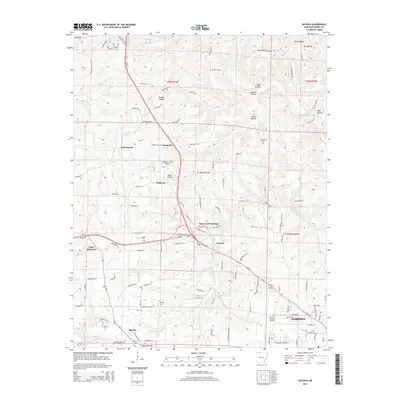 2014 Batavia2014 Print · USGSBoone County during the early twenty-first century reveals a landscape of high ridges and hollows surrounding Batavia and Harrison. Genealogists can trace family landmarks and numerous small burial grounds like Gass Cem, Thomason Cem, and Loback Cem.
Showing maps 1-25 of 85
Top cities of Boone County
- Harrison historical maps
- Diamond City historical maps
- Bellefonte historical maps
- Bergman historical maps
- Lead Hill historical maps
- Everton historical maps
See more
Frequently asked questions
- What are the different types of historical maps available for Boone County?
- What is the oldest map of Boone County?
- Where can I purchase historical maps of Boone County for my home or office?
- Where can I download high-res historical maps of Boone County?
- Are there historical topographic maps available for Boone County?
- Is there historical aerial imagery available for Boone County?
- Where are historical maps of Boone County sourced from?