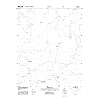
2011 Map of Hasty
USGS Topo · Published 2011About this map
The Buffalo River and its tributary, the Little Buffalo River, define the terrain of this Ozark landscape as it appeared in 2011. The settlement of Hasty serves as a local hub, featuring the Hasty Post Office and the nearby Agee Cemetery. This map provides significant detail for genealogists, documenting family landmarks such as Wells Cemetery, Yardelle Cemetery, and Collins Cemetery spread across the winding river valleys. Notable geological features like Boat Mountain, Flatiron Bluff, and Chimney Rock Bluff create a distinct vertical profile for the region, while numerous hollows such as Bear Cave Hollow and Boomer Hollow indicate the deeply dissected nature of the plateau. The small community of Yardelle marks the eastern portion of the survey, connected by a network of county roads that navigate the complex ridges and stream crossings of Wells Creek and Flatrock Creek.
Find a feature on this map
69 named features on this map. Tap any name to fly to it.
Don’t see what you’re looking for? This feature index may not catch every label — zoom into the map to look around manually.
Map Details
Editions of this 2011 Hasty Map
This is the sole edition of this map. No revisions or reprints were ever made.
Other maps of this area

1892 · Marshall
USGS Topo · 1:125,000

1893 · Yellville
USGS Topo · 1:125,000

1894 · Marshall
USGS Topo · 1:125,000

1901 · Marshall
USGS Topo · 1:125,000

1903 · Yellville
USGS Topo · 1:125,000

1904 · Harrison
USGS Topo · 1:125,000

1905 · Harrison
USGS Topo · 1:125,000

1905 · Yellville
USGS Topo · 1:125,000

1929 · Yellville
USGS Topo · 1:125,000

1933 · Mt Judea
USGS Topo · 1:62,500