Old Maps of Bradley County, Arkansas for Genealogy
Trace your family roots with 142 historic maps of Bradley County. These high-res maps reveal old neighborhoods, homesites, landmarks, and streets — helping you uncover where your ancestors lived and how the area evolved over time.
- Explore historic neighborhoods: Identify where your relatives may have lived in the 1800s or 1900s.
- Compare maps over time: Trace the changes in streets, buildings, and landmarks for multi-generational research.
- Perfect for genealogy & ancestry research: Used by family historians and researchers to map out lineage and migration.
These maps are an incredible resource for exploring your personal connection to Bradley County's past.
Bradley County, AR maps
(142)- 1934 Map of Ingalls
 1934 Ingalls1934 Print · USGSBradley County during the mid-1930s shows a landscape of river-bottom camps and rural parish life. Researchers can trace family roots through numerous local landmarks, from Johnsville and Bogalusa Camp to country schools like Eagle Lake Sch and Broad Sch.
 - 1934 Map of Felsenthal, 1954 Print
 1934 Felsenthal1954 Print · USGSThe Ouachita and Saline River basins are captured here in the early 1930s as logging and rail shaped the Arkansas-Louisiana border. Trace the industrial footprint of the Logging RR and Missouri Pacific RR alongside local centers like Felsenthal, Huttig, and Smith Chapel.2 unique versions available
 - 1934 Map of Moro Bay, 1960 Print
 1934 Moro Bay1960 Print · USGSSouthern Arkansas at the height of the river-and-rail era is captured here, showing the intricate wetlands of the Ouachita valley. Researchers can locate old riverside hubs like Moro Bay, the tracks of the Chicago Rock Island and Pacific, and rural landmarks like Faustina Ch.
 - 1937 Map of Felsenthal
 1937 Felsenthal1937 Print · USGSThe Ouachita River bottomlands come to life in the mid-1930s, showing a landscape of logging railroads and river bends. Trace family roots through Lapile Cem, Huttig, and Felsenthal, or locate vanished landmarks like Cooter Sch and Dollar Junction.
 - 1937 Map of Ingalls
 1937 Ingalls1937 Print · USGSSouth Arkansas timber and river country are mapped here in the mid-1930s as rural life centered on the Ouachita River. Researchers can locate vanished landmarks like Pine Island Landing, Thomas Sch, and the riverside Bogalusa Camp.3 unique versions available
 - 1938 Map of Felsenthal
 1938 Felsenthal1938 Print · USGSThe river bottoms of south Arkansas and north Louisiana are seen here in the late 1930s, showing a landscape defined by the winding Ouachita River. Genealogists and historians can locate the old townsite of Felsenthal, rural landmarks like Smiths Chapel, and the river landing at Prairie Island Ldg.
 - 1938 Map of Moro Bay
 1938 Moro Bay1938 Print · USGSThe riverbottoms of the Ouachita and the timberlands of South Arkansas are captured here in the mid-1930s. Genealogists can locate family sites near Jersey Sch and Union Grove Ch, or trace old river traffic at Wilmington Landing.2 unique versions available
 - 1939 Map of Felsenthal
 1939 Felsenthal1939 Print · USGSThe river bottomlands of southern Arkansas and northern Louisiana come alive in the late thirties as the timber industry reshapes the landscape. Researchers can trace the sprawling rail lines of the Missouri Pacific, the industrial layout of Huttig, and rural sites like Smith Chapel or the Macedonian Cem.2 unique versions available
 - 1939 Map of Moro Bay, 1941 Print
 1939 Moro Bay1941 Print · USGSSouthern Arkansas was a land of river landings and remote timber camps in the late 1930s. Genealogists and local historians can trace the foundations of communities at Artesian and Moro Bay, or locate rural landmarks like Union Grove Ch and Beulah Springs Sch.2 unique versions available
 - 1939 Map of Ingalls, 1941 Print
 1939 Ingalls1941 Print · USGSSoutheast Arkansas in the late 1930s was a landscape of river landings and ridge-top settlements centered on the Saline River. Genealogists can trace early rural life through landmarks like Palestine Ch, Johnsville, and several family-named schoolhouses.
 - 1953 Map of Greenwood, 1966 Print
 1953 Greenwood1966 Print · USGSThe Mississippi Delta in the mid-fifties is captured here as a thriving network of river towns, railroads, and oxbow lakes. Researchers can trace the legacy of the Illinois Central Railroad and locate landmarks like the State Penal Farm and Greenville Air Force Base.5 unique versions available
 - 1953 Map of El Dorado, 1967 Print
 1953 El Dorado1967 Print · USGSSouth Arkansas in the mid-1960s was a landscape of industrial growth and river-fed commerce. Researchers can trace the extensive Oil and Gas Fields around Magnolia, the expansive U S Naval Ammunition Depot, and the busy rail lines of the Missouri Pacific.3 unique versions available
 - 1956 Map of Greenwood
 1956 Greenwood1956 Print · USGSThe Mississippi Delta in the mid-fifties is captured here during a period of significant military and agricultural activity. Researchers can trace the rail lines of the Illinois Central RR, find the Greenville Air Force Base, or locate the State Penal Farm.
 - 1957 Map of El Dorado
 1957 El Dorado1957 Print · USGSSouth Arkansas in the mid-1950s was a critical hub of military logistics and rail-river commerce. Genealogists and historians can trace family land across the Arkansas Louisiana border and locate sites like the U.S. Naval Ammunition Depot or the rail junctions at Magnolia and Camden.
 - 1958 Map of El Dorado
 1958 El Dorado1958 Print · USGSSouthern Arkansas and the Louisiana borderlands are shown during a period of heavy rail traffic and defense industry activity. Researchers can trace the legacy of the U. S. Naval Ammunition Depot or locate family roots in Smackover, Huttig, and Nashville.3 unique versions available
 - 1960 Map of El Dorado
 1960 El Dorado1960 Print · USGSSouth Central Arkansas in the late fifties was a hub of energy production and defense industry. Researchers can trace the extensive Oil and Gas Fields around El Dorado or locate family landmarks like Old Park Cem and New Hope Church.
 - 1971 Map of Vick, 1973 Print
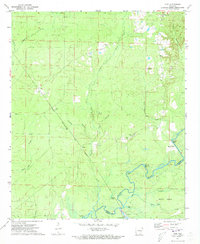 1971 Vick1973 Print · USGSBradley County during the early seventies is mapped here along the winding banks of the Saline River. Genealogists and historians can trace the rail-and-river landscape through the Chicago Rock Island and Pacific tracks, Hampton Chapel, and the settlement at Vick.3 unique versions available
 - 1971 Map of Hermitage, 1973 Print
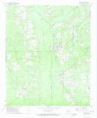 1971 Hermitage1973 Print · USGSHermitage and the surrounding Bradley County timberlands are captured here in the early 1970s as the regional rail economy remained vital. Researchers can locate family landmarks like Holly Springs Cem, the community of Ingalls, and the winding L'Aigle Creek bottoms.2 unique versions available
 - 1971 Map of Sumpter, 1973 Print
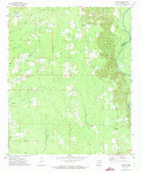 1971 Sumpter1973 Print · USGSThe rural backroads of Bradley and Drew counties come into focus in the early 1970s as the river bottom timberlands meet rising gravel hills. Trace the vanished tracks of the Old Railroad Grade or locate family roots near Pattsville Cem and Sumpter.2 unique versions available
 - 1971 Map of Longview, 1973 Print
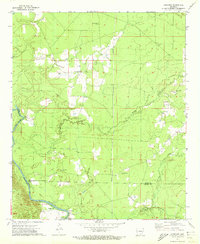 1971 Longview1973 Print · USGSIn the early seventies, the Saline River bottomlands of southeast Arkansas remained a landscape of quiet river crossings and family-named landmarks. Genealogists can trace rural community centers like Longview, Bethel Ch, and the Prairie Chapel Cem.
 - 1971 Map of Marsden, 1973 Print
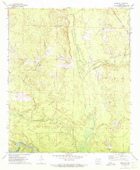 1971 Marsden1973 Print · USGSIn the early 1970s, this portion of Bradley County was a landscape of timbered ridges and river bottomlands. Genealogists and local historians can trace family locations near Marsden, Crossroads Ch, and the Cem Wearied Rest Ch.2 unique versions available
 - 1971 Map of Milo, 1973 Print
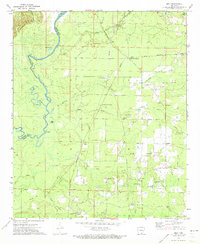 1971 Milo1973 Print · USGSSoutheast Arkansas in the early seventies shows a landscape defined by the winding Saline River and a dense network of country churches. Researchers can trace family roots at Old Milo, Egypt Ch, or Duckworth Cem and locate historic river points like Moffatt Bluff.
 - 1972 Map of Wilmar South, 1975 Print
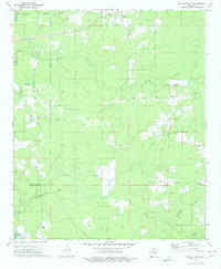 1972 Wilmar South1975 Print · USGSSoutheast Arkansas in the early seventies remains a landscape of small river settlements and rural congregations. Genealogists and local historians can trace family locations through numerous sites like Turner Hills Cem, New Hope, and the Shiloh Ch area.
 - 1973 Map of Wilmar North, 1975 Print
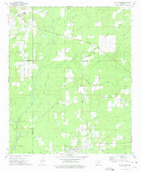 1973 Wilmar North1975 Print · USGSThe rural timberlands of Drew and Bradley Counties are captured here in the early seventies, centered on the Saline River and its many tributaries. Genealogists can trace family roots through sites like Bethel Cemetery, Union Church, and the settlement of Barkada.
 - 1973 Map of Warren, 1975 Print
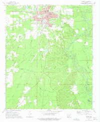 1973 Warren1975 Print · USGSWarren was a bustling Bradley County rail and timber center in the early seventies, caught here just as the river-and-rail economy transitioned. Genealogists and local historians can trace family roots through sites like Oakland Cemetery, St James Church, and the outlying settlement of Carmel.2 unique versions available
Showing maps 1-25 of 142
Top cities of Bradley County
Frequently asked questions
- What are the different types of historical maps available for Bradley County?
- What is the oldest map of Bradley County?
- Where can I purchase historical maps of Bradley County for my home or office?
- Where can I download high-res historical maps of Bradley County?
- Are there historical topographic maps available for Bradley County?
- Is there historical aerial imagery available for Bradley County?
- Where are historical maps of Bradley County sourced from?