2000s (21st Century) Maps of Bradley County, Arkansas
Explore 100 historic maps of Bradley County from the 2000s (21st Century). These maps offer a rare glimpse into what life looked like during the 2000s — showing old roads, neighborhoods, homes, and landmarks that have changed or disappeared over time.
Whether you're researching your family's past, planning a metal detecting trip, or studying how Bradley County's landscape evolved across the 2000s, these high-resolution maps are a powerful tool for exploring the history of this region.
- Focus on a specific era: All maps on this page are from the 2000s, giving you a focused view of this time period.
- See what’s changed: Compare century-old streets, trails, and buildings to today's modern landscape using overlays and satellite layers.
- Research with precision: Use these maps for genealogy, historical research, land use analysis, or educational projects.
- View, download, or print: Maps are fully viewable online in high resolution, and can be downloaded or printed for your own records.
Start exploring Bradley County's history through authentic maps from the 2000s. This is your window into the past.
Bradley County, AR maps
(100)- 2011 Map of Tinsman, 2011 Print
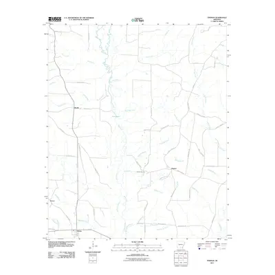 2011 Tinsman2011 Print · USGSCalhoun County timberlands and rural crossroads are captured here during the early twenty-first century. Genealogists can locate Williams Cemetery and trace the small settlements of Tinsman, Ellisville, and Wagnon along the winding banks of Moro Creek.
 - 2011 Map of McKinney, 2011 Print
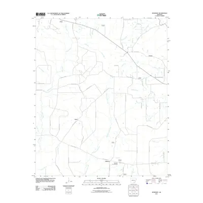 2011 McKinney2011 Print · USGSSouthern Arkansas rural life at the start of the decade is preserved here through its scattered communities and family landmarks. Researchers can trace ancestral roots at the Good Hope Methodist Church Cemetery or follow the waters of L'Aigle Creek and Steepbank L'Aigle Creek.
 - 2011 Map of Harrell Brake, 2011 Print
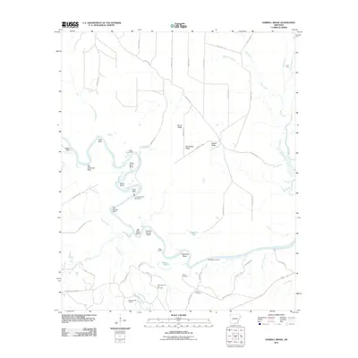 2011 Harrell Brake2011 Print · USGSThe Ouachita River dominates this Union County landscape in the early twenty-first century, carving a path through numerous bends and ridges. Researchers can trace the local energy economy and family history at the Wilmington Oil and Gas Field, Miller Cemetery, and Lock and Dam Number 8.
 - 2011 Map of Vick, 2011 Print
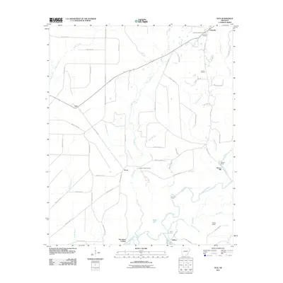 2011 Vick2011 Print · USGSThe rural riverlands of Bradley County are captured in this recent survey, centered on the winding Saline River and the small settlement of Johnsville. Researchers can locate several historic burial sites like Palestine Cemetery and trace the shoreline of Lake Georgia Pacific.
 - 2011 Map of Banks, 2011 Print
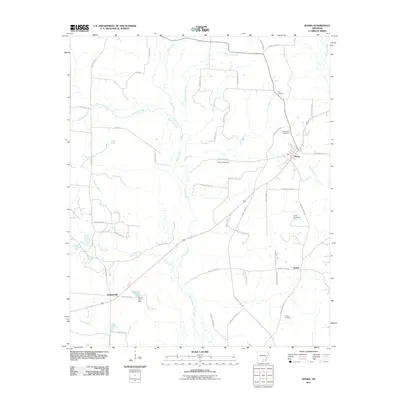 2011 Banks2011 Print · USGSBradley County's rural landscape is shown here in the early 21st century, centered on the town of Banks. Researchers can trace local genealogy through several sites including McFarland Cemetery, Childs Cemetery, and the settlement at Lanark.
 - 2011 Map of Hermitage, 2011 Print
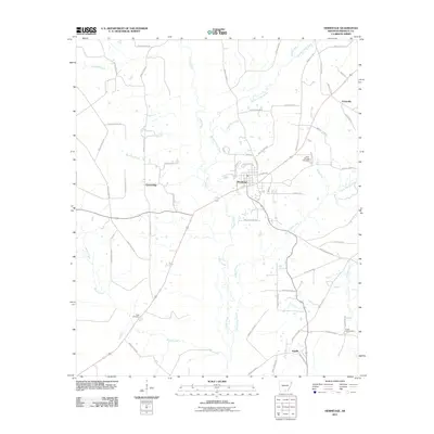 2011 Hermitage2011 Print · USGSBradley County at the start of the 2010s reveals a landscape of quiet rural settlements and winding timberland creeks. Genealogists can trace family footprints at Holly Springs Cemetery or explore the drainage of L'Aigle Creek near Hermitage.
 - 2011 Map of Marsden, 2011 Print
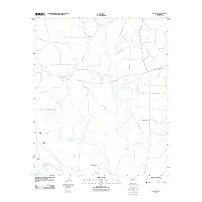 2011 Marsden2011 Print · USGSBradley County's rural timberlands and creek bottoms are well-preserved in this modern survey of the Marsden area. Genealogists can locate family landmarks like Weary Rest Cemetery and McKenney Cemetery nestled between the banks of L'Aigle Creek and Tulip Creek.
 - 2011 Map of Marais Saline, 2011 Print
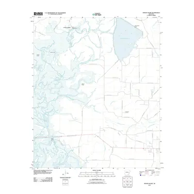 2011 Marais Saline2011 Print · USGSThe Saline River lowlands in southern Arkansas are captured here during the early twenty-first century. Researchers can trace riverside life at Godfrey Landing, locate family sites near Arkadelphia Cemetery, or explore the complex wetlands of Marais Saline.
 - 2011 Map of Jersey, 2011 Print
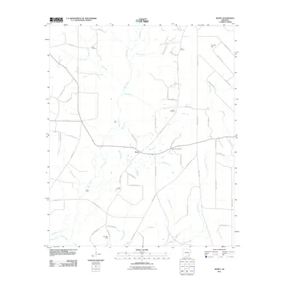 2011 Jersey2011 Print · USGSIn the early twenty-first century, this southern Arkansas landscape remains defined by its rural routes and deep creek drainages. Genealogists can trace family history through sites like Mount Zion Cemetery and Belin Cemetery, or locate old crossings at Mill Ford.
 - 2011 Map of New Union, 2011 Print
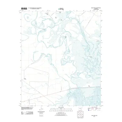 2011 New Union2011 Print · USGSUnion County, Arkansas, is captured here in the early twenty-first century at the junction of two major river systems. Researchers can trace the complex waterways and ridges of the basin, from the settlement of New Union to the oxbows of Pereogeethe Lake and Staveyard Bend.
 - 2011 Map of Artesian, 2011 Print
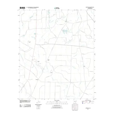 2011 Artesian2011 Print · USGSCalhoun County's petroleum and timber country is documented here at the start of the 2010s. Researchers can locate family sites at Faustina Cemetery and trace the industrial footprint of the Artesian Oil Field and Lloyd Creek Oil Field.
 - 2011 Map of Warren NE, 2011 Print
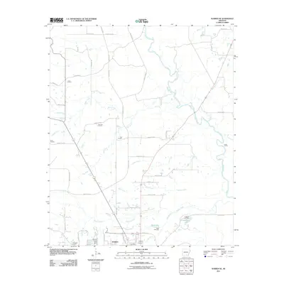 2011 Warren NE2011 Print · USGSIn the outskirts of northern Warren during the early 2010s, the landscape is a mix of river bottomlands and family-named homesteads. Researchers can locate several rural burial grounds including Beard Cemetery and Saint Paul Cemetery, or trace the winding path of the Saline River.
 - 2011 Map of Farmville, 2011 Print
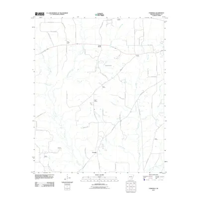 2011 Farmville2011 Print · USGSBradley County settlements and rural cemeteries are documented here during the early twenty-first century. Researchers can trace local lineage at Craney Cemetery, Parnell Cemetery, and Parker Cemetery, or locate landmarks like the Banks Lookout Tower.
 - 2011 Map of Sumpter, 2011 Print
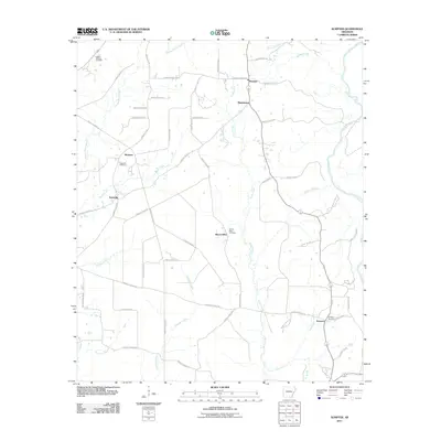 2011 Sumpter2011 Print · USGSBradley County in the early twenty-first century remains a landscape of quiet rural hamlets and creek-side settlements. Researchers can trace family origins through local landmarks like Hickory Springs Cemetery, Pattsville, and the church at Mount Olive.
 - 2011 Map of Warren, 2011 Print
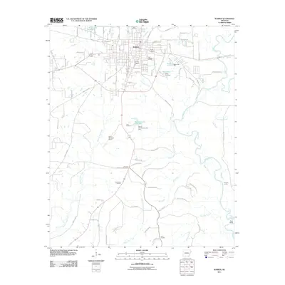 2011 Warren2011 Print · USGSWarren and its rural surroundings are captured here in the early twenty-first century, showing the balance between the town's growth and the Saline River bottomlands. Researchers can locate family landmarks like Oakland Cemetery, Saline Cemetery, and the riverfront at Hudspeth Landing.
 - 2011 Map of Moro Bay, 2011 Print
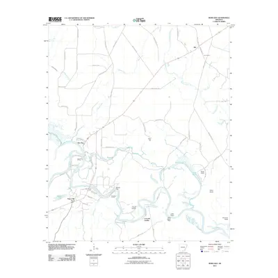 2011 Moro Bay2011 Print · USGSThe Ouachita River corridor in Bradley County is captured here during the early twenty-first century, showing a landscape defined by river navigation and petroleum extraction. Researchers can locate Hilo Cemetery, trace the Pigeon Hill Oil Field, and explore riverside landmarks like Careyville Landing.
 - 2011 Map of Wilmar North, 2011 Print
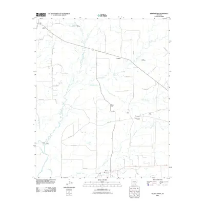 2011 Wilmar North2011 Print · USGSWilmar and northern Drew County are seen here in the early twenty-first century, showing a landscape defined by timberlands and the Saline River. Family historians can locate several burial grounds like Union Cemetery and Torian Cemetery, or trace old river access points at Cornish Landing.
 - 2011 Map of Longview, 2011 Print
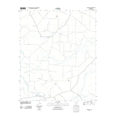 2011 Longview2011 Print · USGSSoutheast Arkansas at the start of the 2010s reveals a landscape shaped by the Saline River and a dense network of rural county roads. Researchers can locate numerous family burial grounds including Mount Peter, Ozment Cemetery, and Sixteenth Section Cemetery.
 - 2011 Map of Wilmar South, 2011 Print
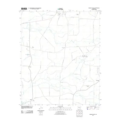 2011 Wilmar South2011 Print · USGSSoutheast Arkansas at the turn of the decade is captured here as a landscape of rural crossroads and family homesteads. Genealogists can trace deep local roots across numerous burying grounds, including Wilmar Cemetery, Shiloh Cemetery, and the Old Saline Cemetery.
 - 2011 Map of Milo, 2011 Print
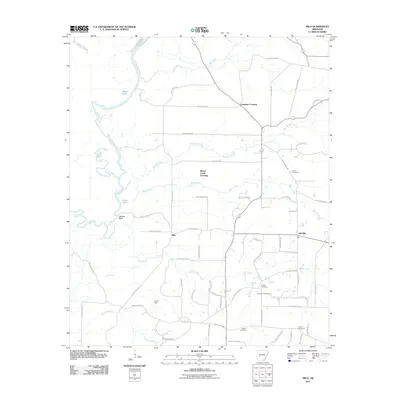 2011 Milo2011 Print · USGSSoutheast Arkansas at the turn of the decade reveals a landscape defined by the Saline River and scattered rural settlements. Researchers can trace family history through numerous burial sites like Zion Cemetery and Duckworth Cemetery or locate the old community centers of Milo and Old Milo.
 - 2014 Map of Sumpter, 2014 Print
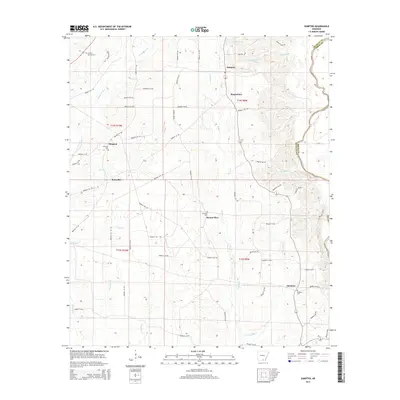 2014 Sumpter2014 Print · USGSBradley County's rural timber and agricultural lands are captured here during the early twenty-first century. Researchers can trace local heritage through the placement of Sumpter, Mount Olive, and several historic cemeteries like Hickory Springs Cem.
 - 2014 Map of Milo, 2014 Print
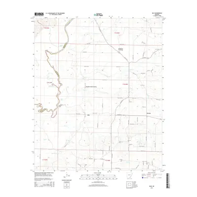 2014 Milo2014 Print · USGSSoutheast Arkansas at the start of the twenty-first century reveals a landscape defined by the winding Saline River and quiet rural settlements. Researchers can locate several burial grounds like Zion Cem and Carlock Cem or trace the old roads near Milo.
 - 2014 Map of Warren, 2014 Print
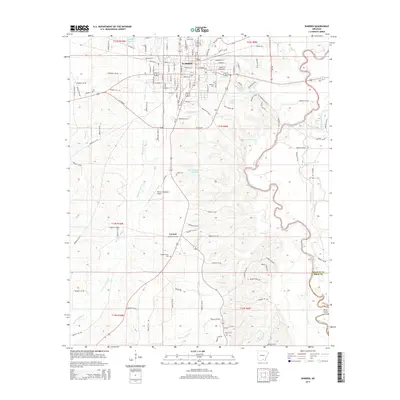 2014 Warren2014 Print · USGSBradley County in the early twenty-first century is defined by the steady growth of Warren and its riverine surroundings. Researchers can trace family history through numerous sites like Adams/Singer Cem and the settlement at Carmel.
 - 2014 Map of Warren NE, 2014 Print
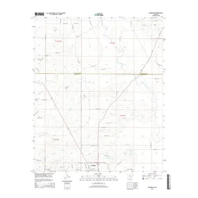 2014 Warren NE2014 Print · USGSThe outskirts of Warren and the rural settlement of Rye are shown here in the mid-2010s as the Saline River winds through the timberlands. Researchers can locate family landmarks like Union Cem, Saint Paul Cem, and the waters of Bradley County Lake.
 - 2014 Map of Wilmar South, 2014 Print
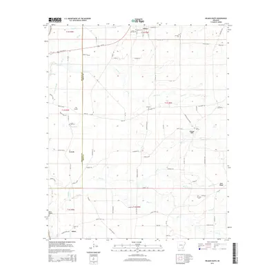 2014 Wilmar South2014 Print · USGSWilmar and southeastern Arkansas rural communities are captured here in the early twenty-first century along the Drew County line. Genealogists can locate family burial sites at Wilmar Cem, Shiloh Cem, and O'Neil Cem near settlements like Corinth.
Showing maps 1-25 of 100
Top cities of Bradley County
Frequently asked questions
- What are the different types of historical maps available for Bradley County?
- What is the oldest map of Bradley County?
- Where can I purchase historical maps of Bradley County for my home or office?
- Where can I download high-res historical maps of Bradley County?
- Are there historical topographic maps available for Bradley County?
- Is there historical aerial imagery available for Bradley County?
- Where are historical maps of Bradley County sourced from?