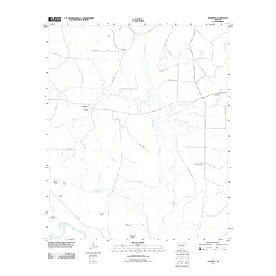
2011 Map of Marsden
USGS Topo · Published 2011About this map
Marsden anchors this Bradley County landscape, a small settlement situated amidst a complex network of creeks and named ridges. The area's local history is anchored by several burial grounds, including Marsden Cemetery, Weary Rest Cemetery, and Lyns Cemetery, providing critical points of interest for genealogists tracking families in this corner of Arkansas. The terrain is defined by the drainage systems of L'Aigle Creek and Tulip Creek, which flow toward the southern boundary at the Ouachita River.
Find a feature on this map
54 named features on this map. Tap any name to fly to it.
Don’t see what you’re looking for? This feature index may not catch every label — zoom into the map to look around manually.
Map Details
Editions of this 2011 Marsden Map
This is the sole edition of this map. No revisions or reprints were ever made.
Other maps of this area

1933 · Strong
USGS Topo · 1:62,500

1934 · Ingalls
USGS Topo · 1:48,000

1934 · Felsenthal
USGS Topo · 1:62,500

1934 · Moro Bay
USGS Topo · 1:62,500

1937 · Strong
USGS Topo · 1:62,500

1937 · Felsenthal
USGS Topo · 1:62,500

1937 · Ingalls
USGS Topo · 1:62,500

1938 · Felsenthal
USGS Topo · 1:62,500

1938 · Moro Bay
USGS Topo · 1:62,500

1939 · Felsenthal
USGS Topo · 1:62,500