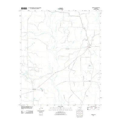
2011 Map of Banks
USGS Topo · Published 2011About this map
Moro Creek and its many tributaries, including Hurricane Branch and Jacks Creek, dominate this part of Bradley County in the early 21st century. The landscape is characterized by a dense network of county roads that link the small settlements of Banks, Lanark, and Summerville. This area shows a pattern of dispersed rural living, with several family-named burial sites such as McFarland Cemetery and McLeod Cemetery located near the town centers. In the southern portion of the quadrangle, Harrell Lake and the associated Harrell Lake Dam signify local water management and recreation. The proximity of Alta Junction and various branch waterways like Wheeler Branch and Caney Creek suggests a terrain defined by its drainage into the larger creek systems that have shaped the local geography for generations.
Find a feature on this map
57 named features on this map. Tap any name to fly to it.
Don’t see what you’re looking for? This feature index may not catch every label — zoom into the map to look around manually.
Map Details
Editions of this 2011 Banks Map
This is the sole edition of this map. No revisions or reprints were ever made.
Other maps of this area

1934 · Ingalls
USGS Topo · 1:48,000

1934 · Moro Bay
USGS Topo · 1:62,500

1937 · Ingalls
USGS Topo · 1:62,500

1938 · Moro Bay
USGS Topo · 1:62,500

1939 · Moro Bay
USGS Topo · 1:62,500

1939 · Ingalls
USGS Topo · 1:62,500

1953 · El Dorado
USGS Topo · 1:250,000

1957 · El Dorado
USGS Topo · 1:250,000

1958 · El Dorado
USGS Topo · 1:250,000

1960 · El Dorado
USGS Topo · 1:250,000